 |
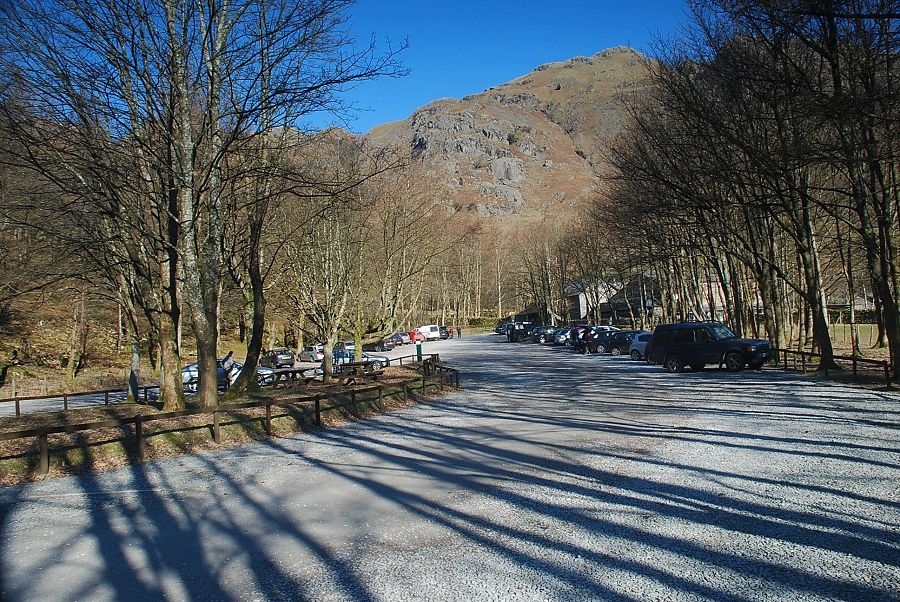
| The National Trust Stickle Ghyll car park at the start of the walk |
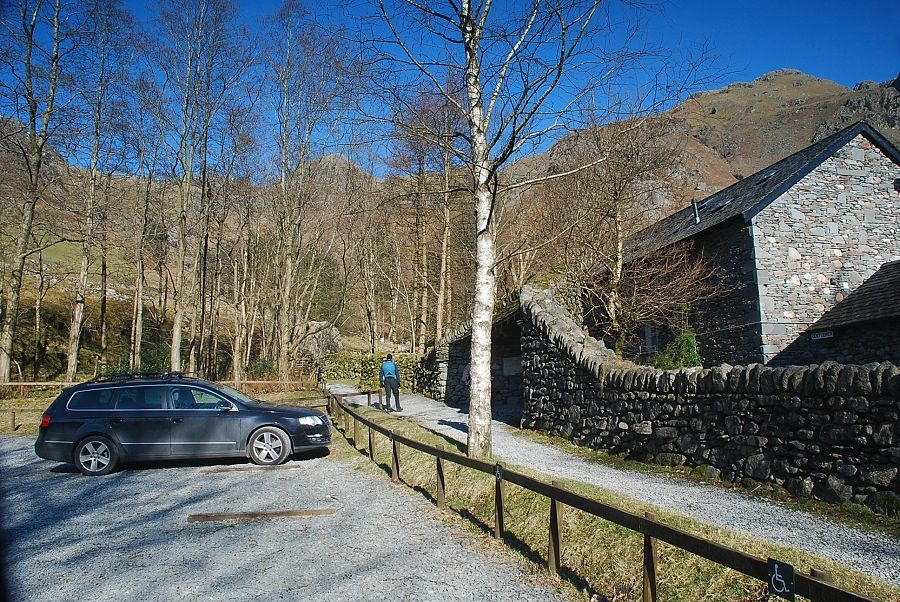 |
| The Stickle Ghyll path starts from the information shelter adjacent to the Stickle Barn Tavern |
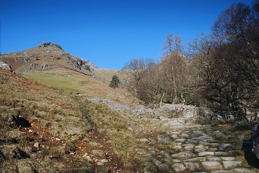 |
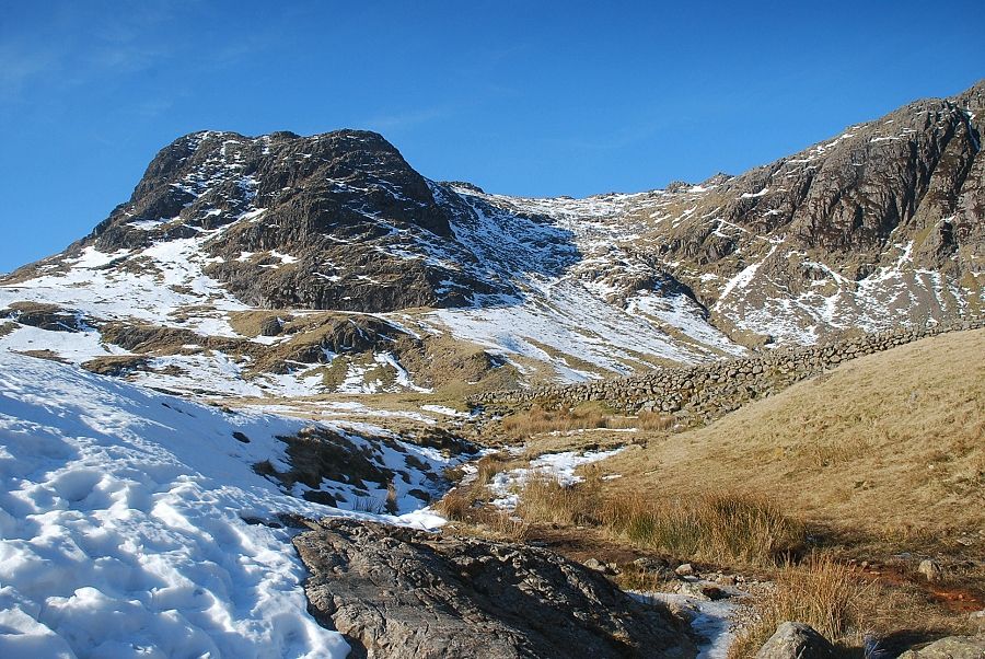
| Pike How from the Stickle Ghyll path |
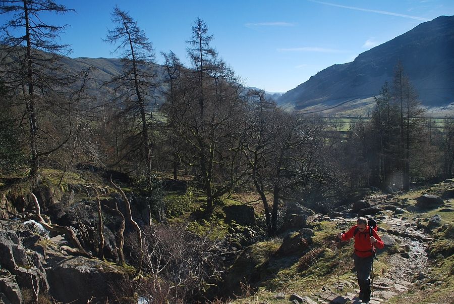 |
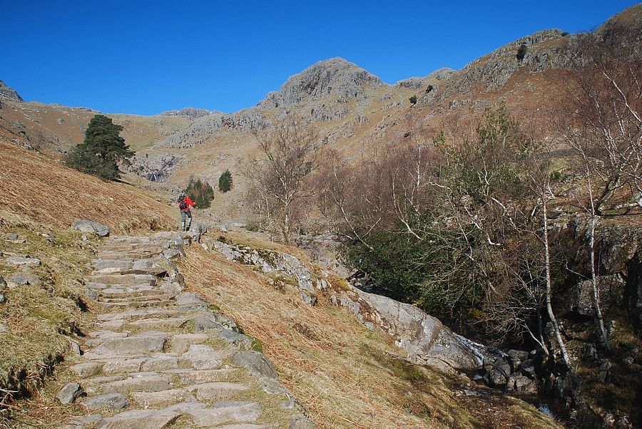
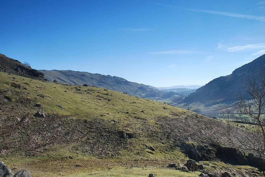
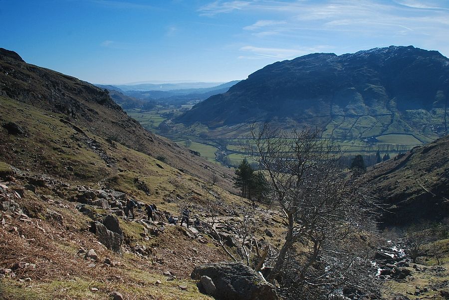
| Looking back to Great Langdale from the path alongside Stickle Ghyll |
 |
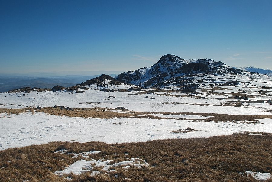
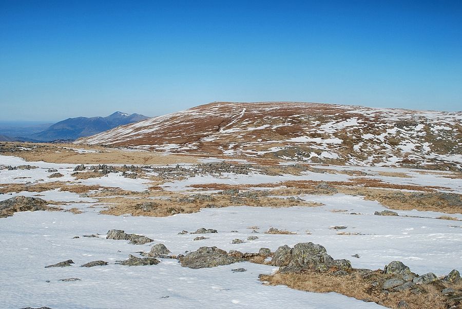
| Tarn Crag dominates the view ahead as the path approaches the footbridge over Stickle Ghyll |
 |
| Looking over to Swine Knott and Whitegill Crag |
 |
| Looking over to Side Pike and Blake Rigg |
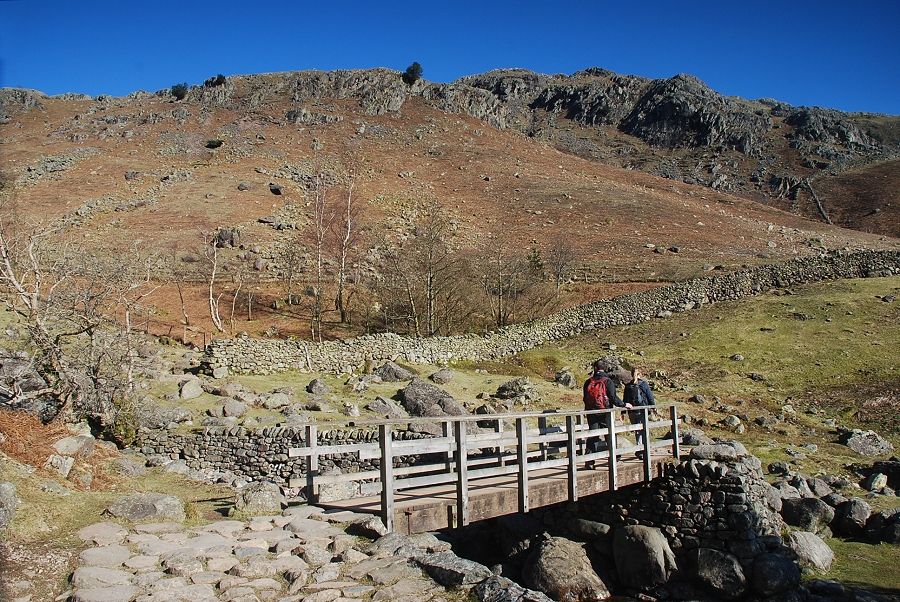 |
| The footbridge over Stickle Ghyll |
 |
| Great Langdale from the footbridge |
 |
| The middle part of Stickle Ghyll from the footbridge, the summit of Harrison Stickle appears over the head of the valley |
 |
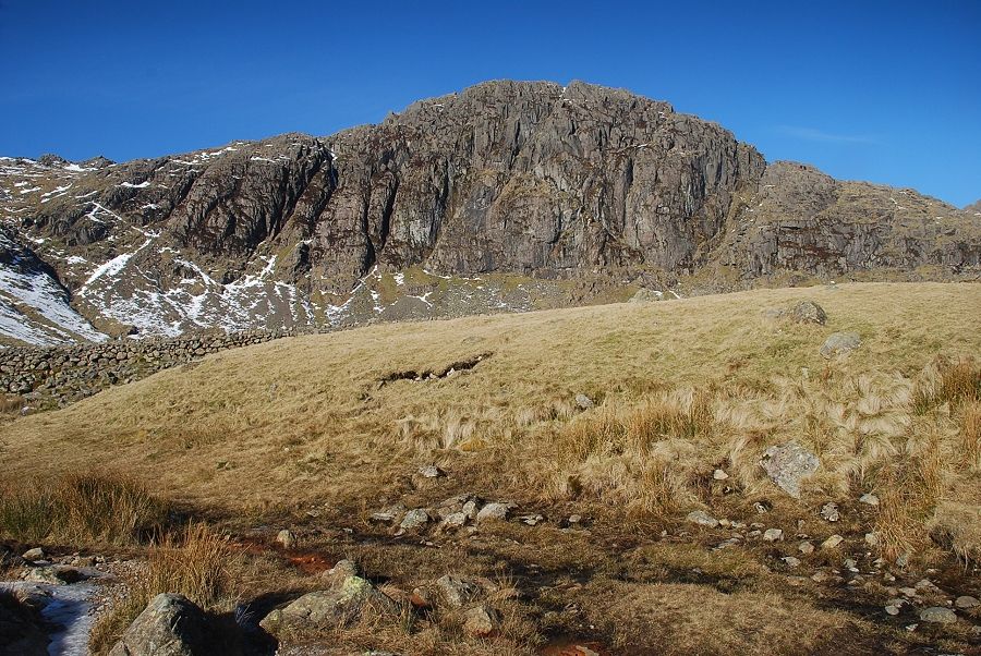
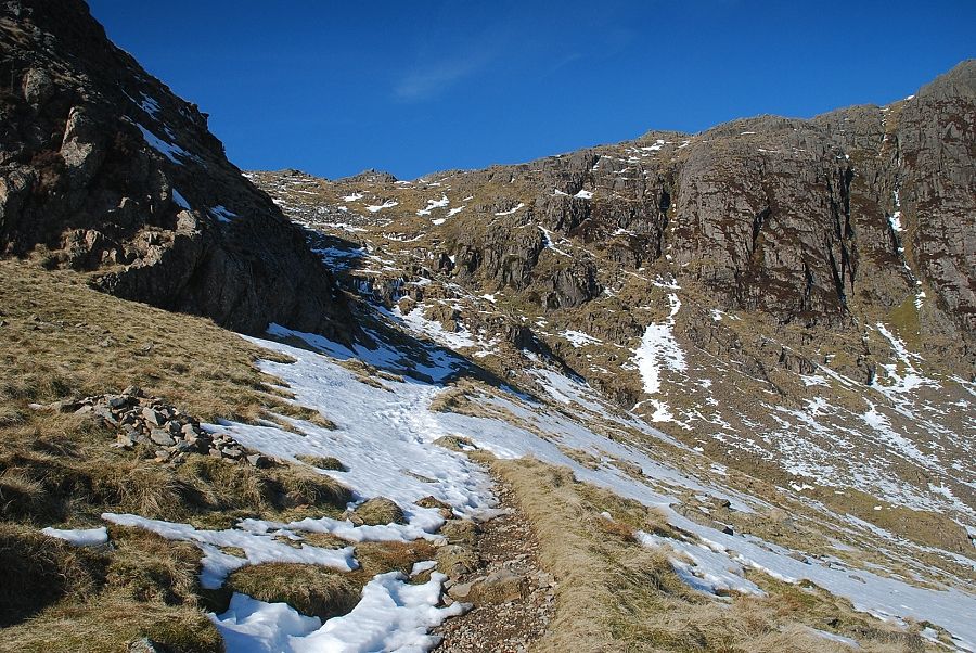
| The path becomes much steeper as it passes between two small conifer plantings below the rock tower of Tarn Crag |
 |
| Looking back to Great Langdale |
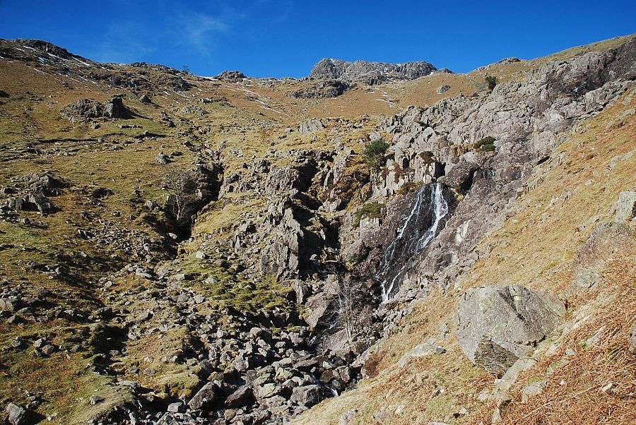 |
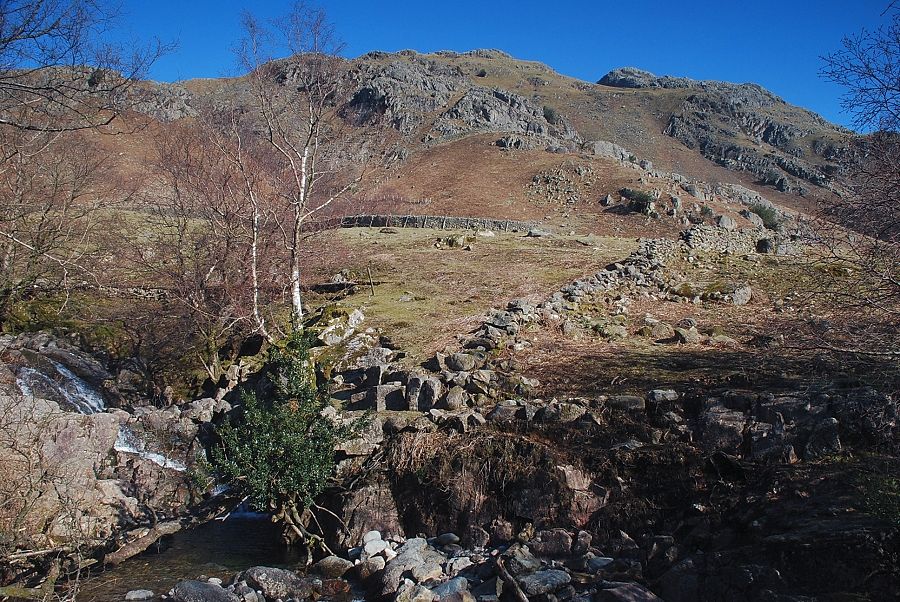
| Above the conifer plantings there is a fine series of waterfalls. A short diversionary path leads to a viewpoint overlooking the upper cascade |
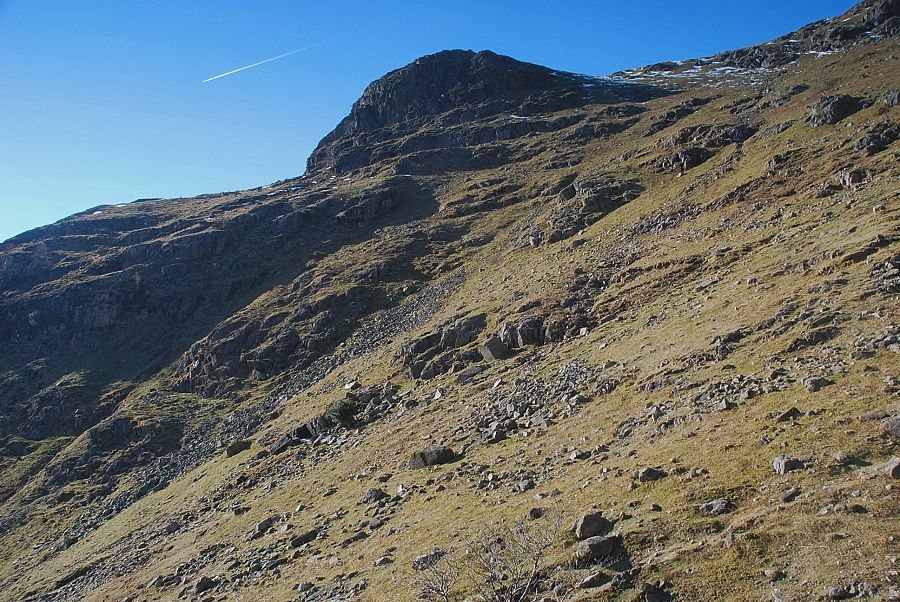 |
| Looking up to Pike How from the path above the waterfalls |
 |
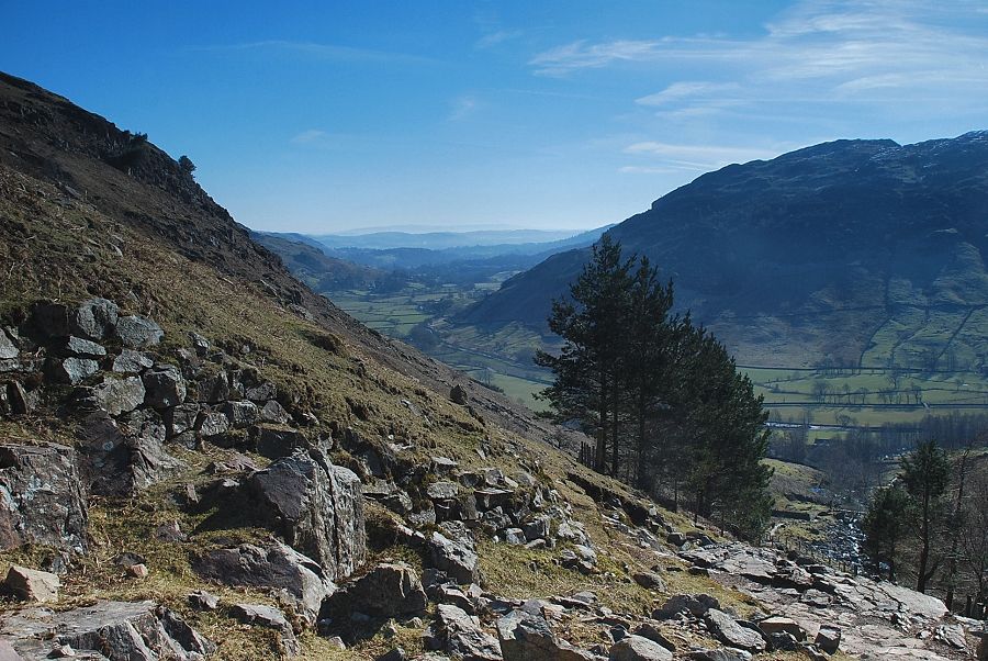
| Looking back to Lingmoor Fell across the Great Langdale valley |
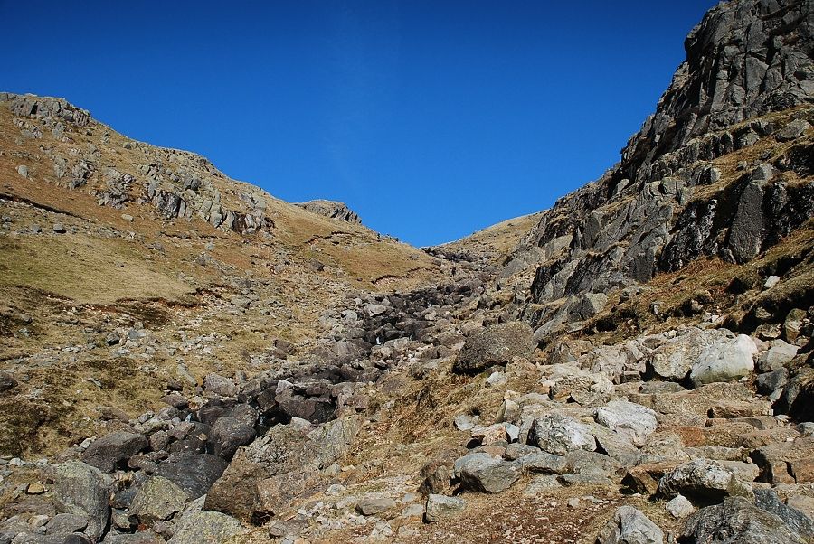 |
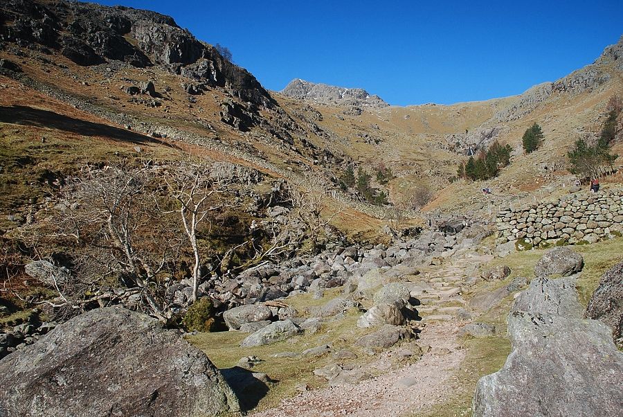
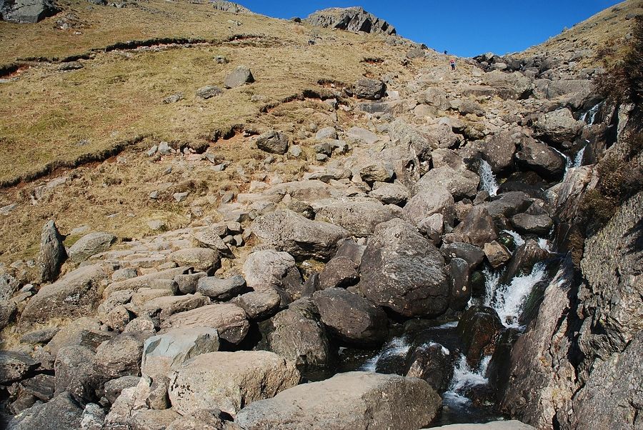
| Above the waterfalls the upper part of the gill comes into view as the path mounts a series of rock steps below Tarn Crag on the approach to the stepping stones over the stream |
 |
| The stepping stones over Stickle Ghyll |
 |
| Looking back from the stepping stones |
 |
| Wetherlam, Swirl How and Great Carrs appear on the skyline above Blake Rigg with Pike How in the middle/left foreground |
 |
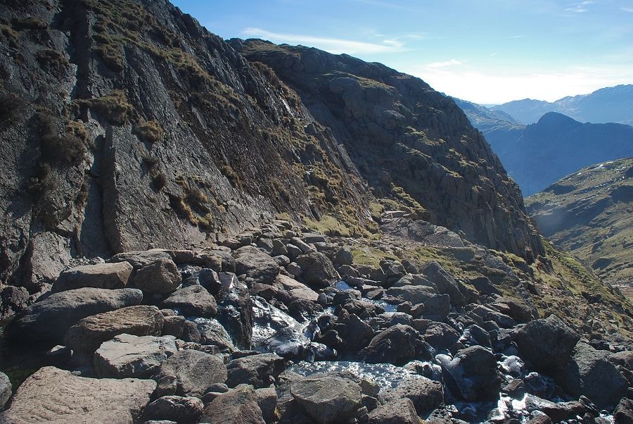
| From the stepping stones, a rough climb of about 200 ft. leads to the top of the gill and a view of Pavey Ark above the Stickle Tarn dam wall |
 |
| The route of ascent continues on from the west side of the dam, climbing to the wide col between Harrison Stickle and Pavey Ark |
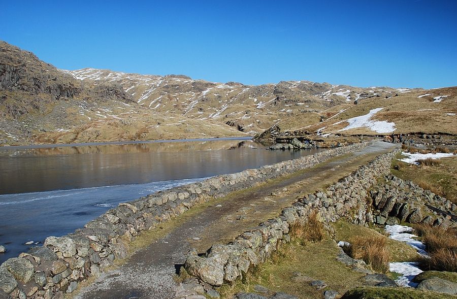 |
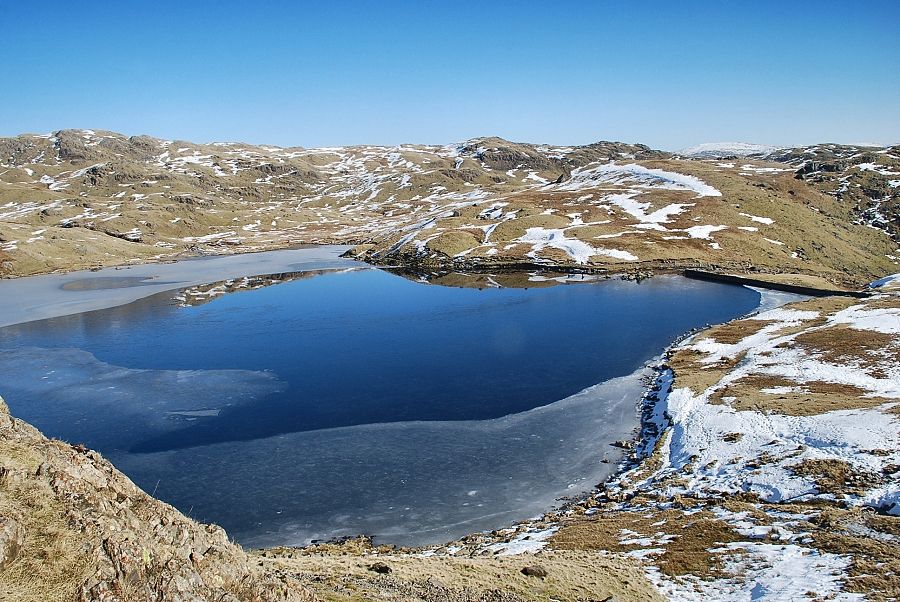
| Stickle Tarn dam |
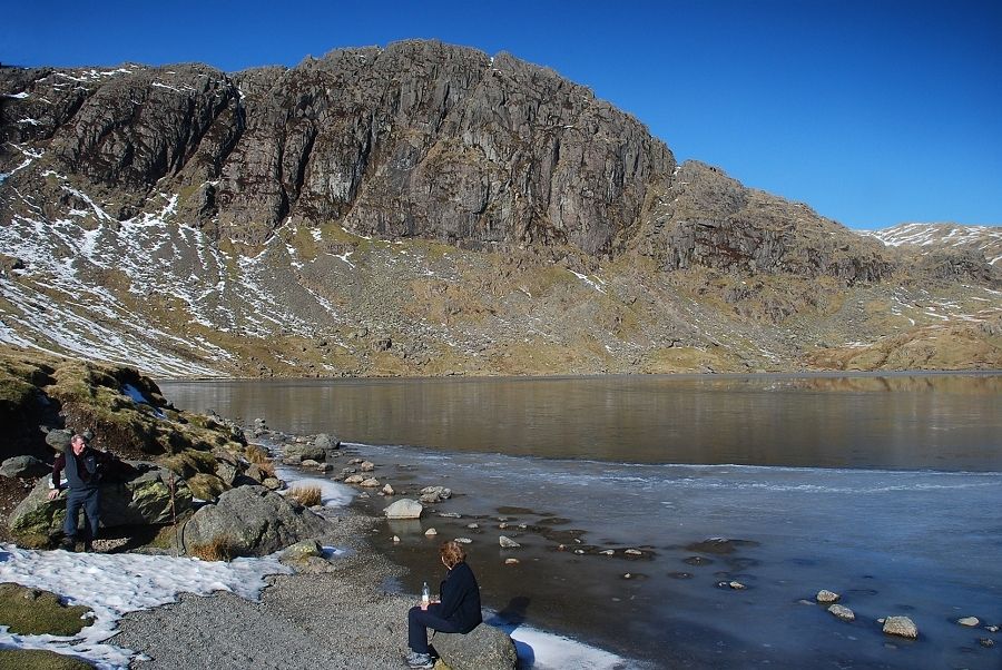 |
| Pavey Ark across Stickle Tarn |
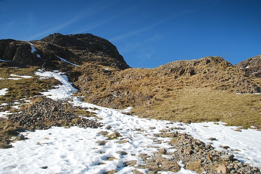 |
| The start of the climb to the Harrison Stickle ~ Pavey Ark col |
 |
| Looking back to Stickle Tarn from the start of the climb to the col |
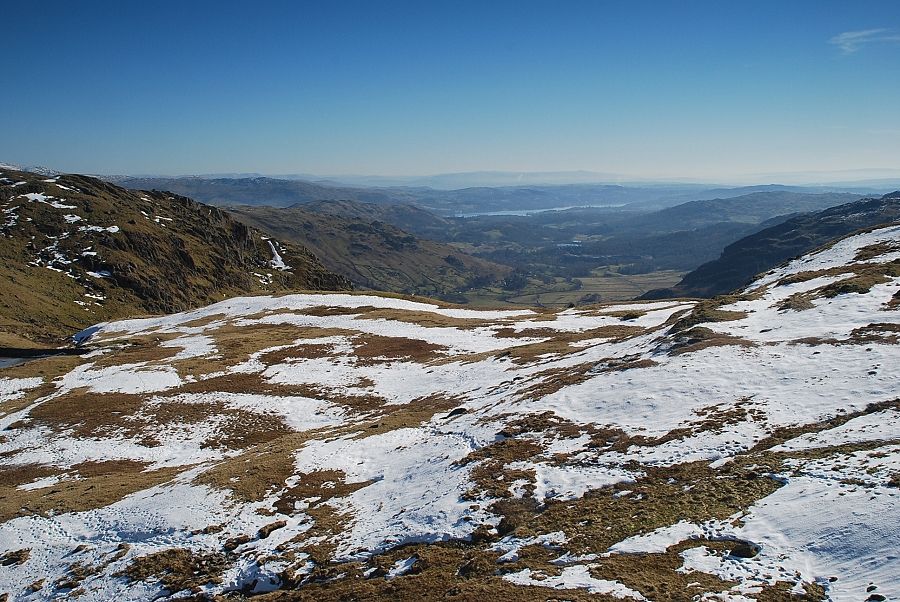 |
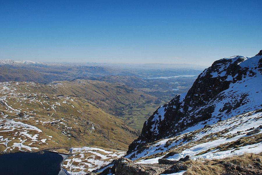
| Windermere from the path to the col |
 |
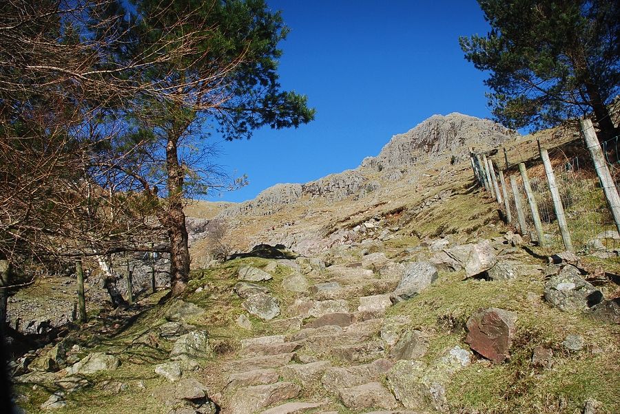
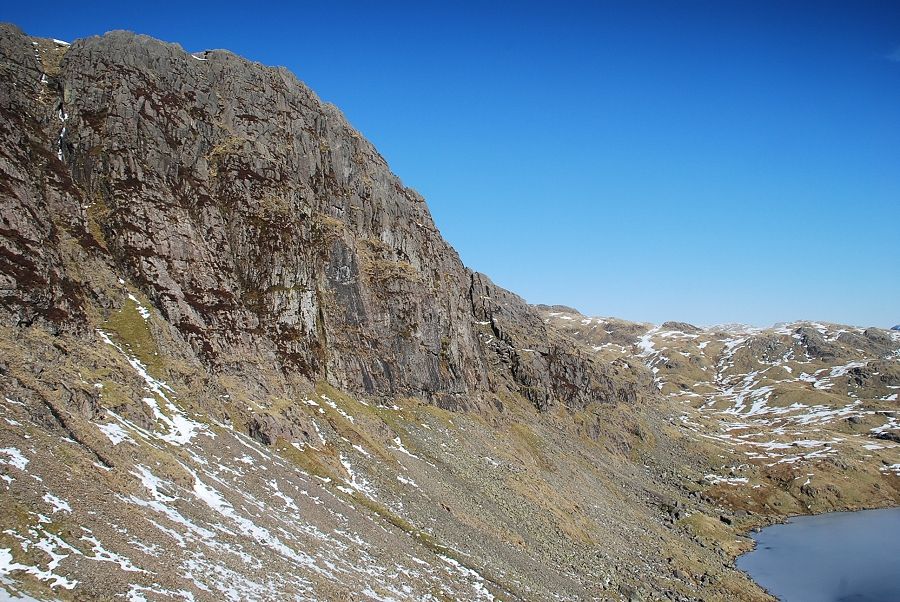
| Higher up, the path passes below the steep eastern buttress of Harrison Stickle during the 700 ft. climb to the col |
 |
| Looking over to Pavey Ark |
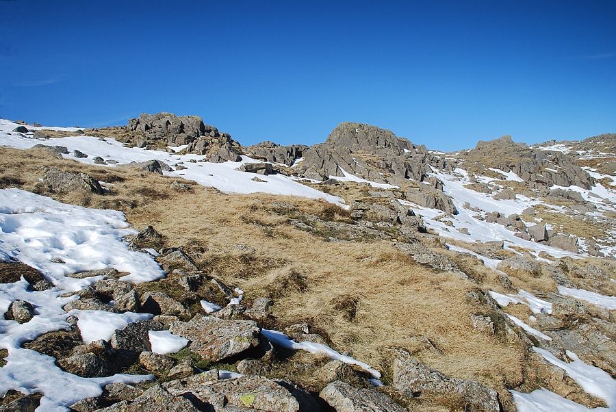 |
| Approaching the rock tors near the top of of the col |
 |
| A long line of Eastern Fells appear on the horizon above the Blea Rigg ridge, from Nethermost Pike to Red Screes |
 |
| Windermere across the eastern buttress of Harrison Stickle |
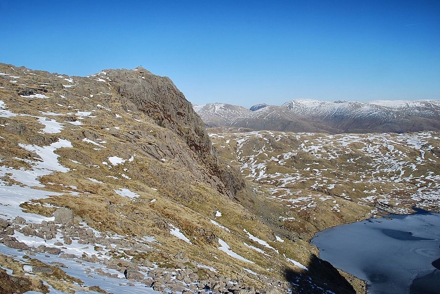 |
| Looking across to Pavey Ark, note the walker on the summit |
 |
| Approaching the top of the col, Thunacar Knott comes into view on the centre horizon, beyond the rock tor on the right |
 |
| The summit of Harrison Stickle from the col |
 |
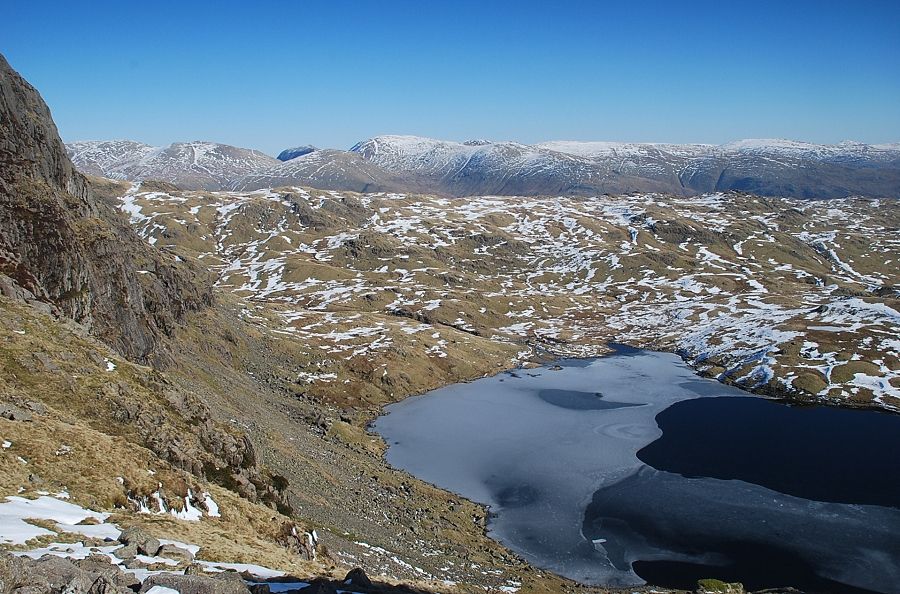
| Looking down on Stickle Tarn from the col |
 |
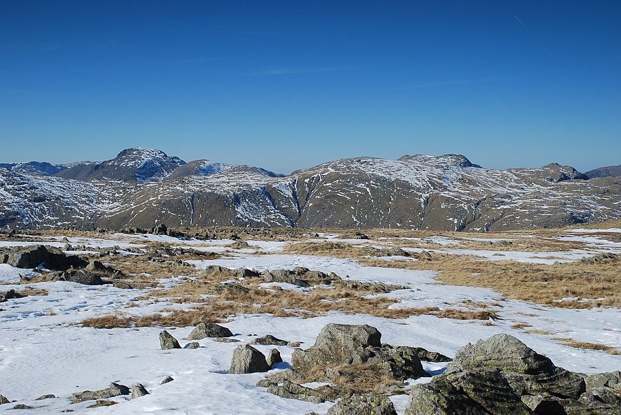
| Great Gable and Green Gable appear over the top of the col with Great End and Allen Crags on the left |
 |
| Looking over to the summit of Pavey Ark from the col |
 |
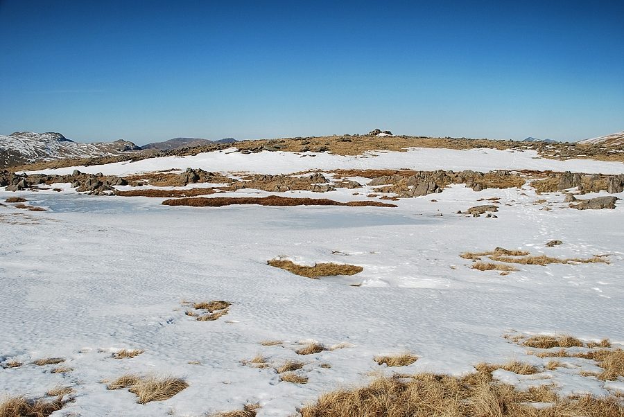
| From the col easy slopes lead up to the broad summit ridge of Thunacar Knott |
 |
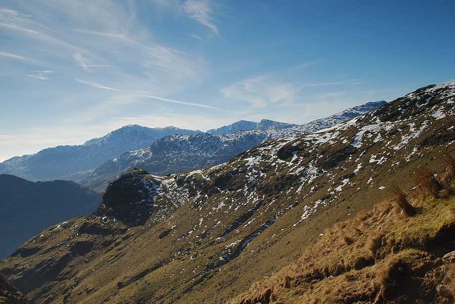
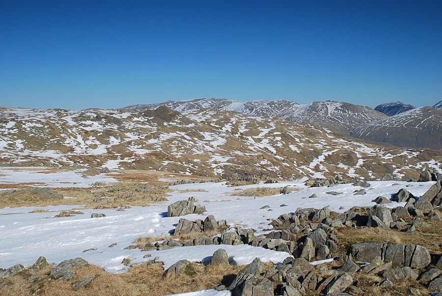
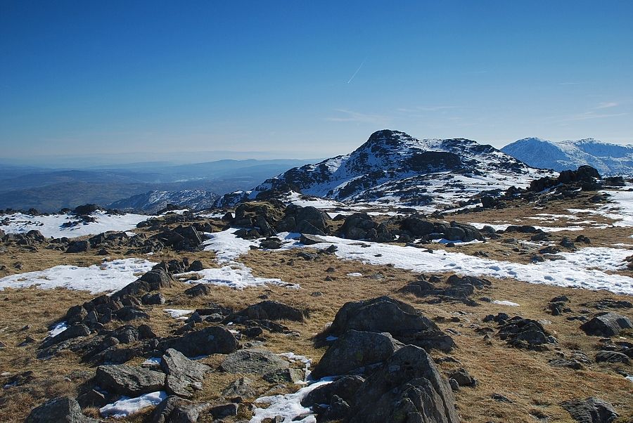
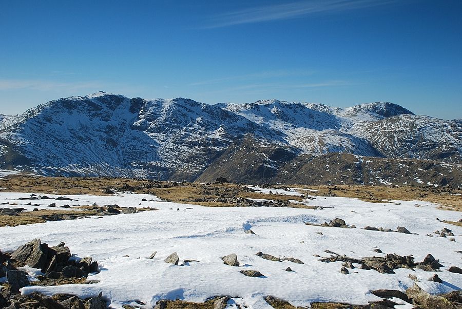
| Looking back to the Coniston Fells from the climb to Thunacar Knott |
 |
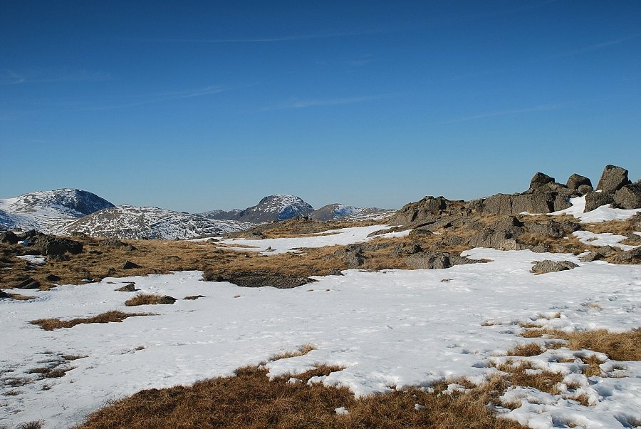
| Crinkle Crags with the summit of Pike o' Stickle in the right foreground |
 |
| Looking back to Crinkle Crags, Bowfell and Esk Pike with the summit of Pike o' Stickle in the left foreground |
 |
| Looking back to Harrison Stickle |
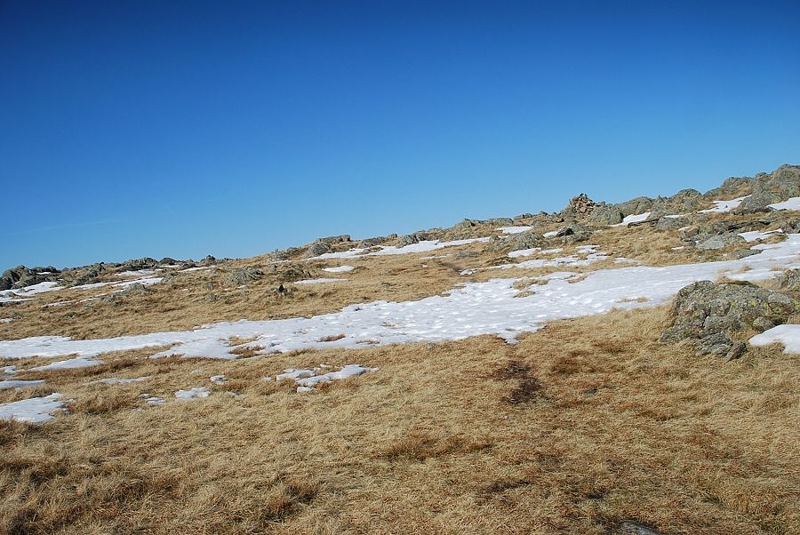 |
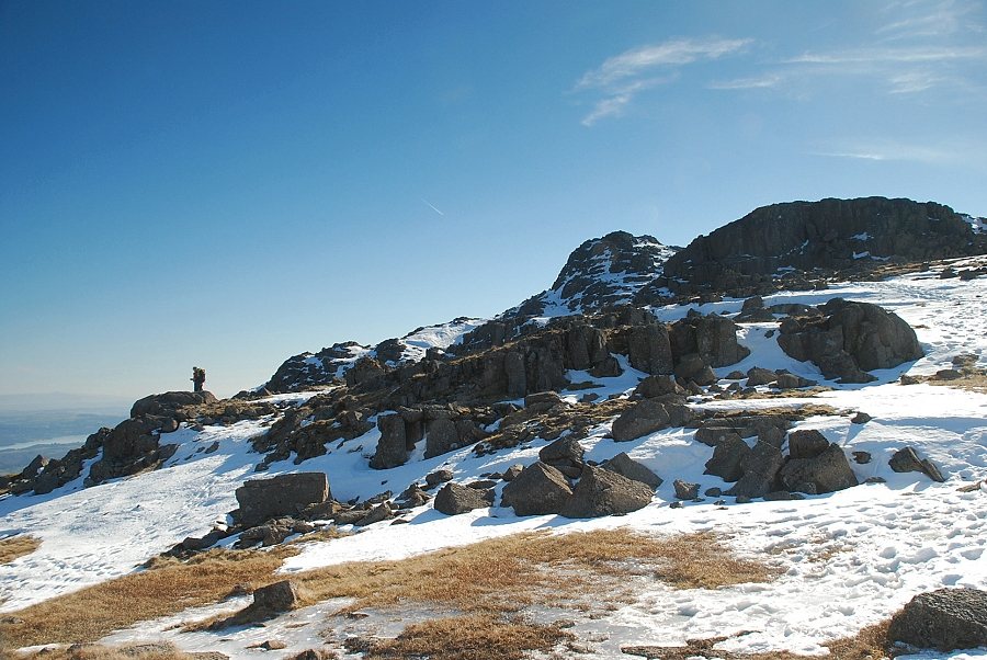
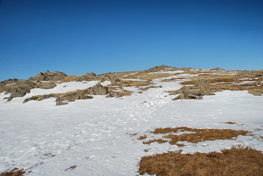
| The cairn on the southern top of Thunacar Knott comes into view |
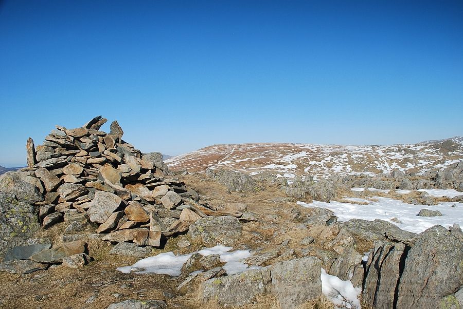 |
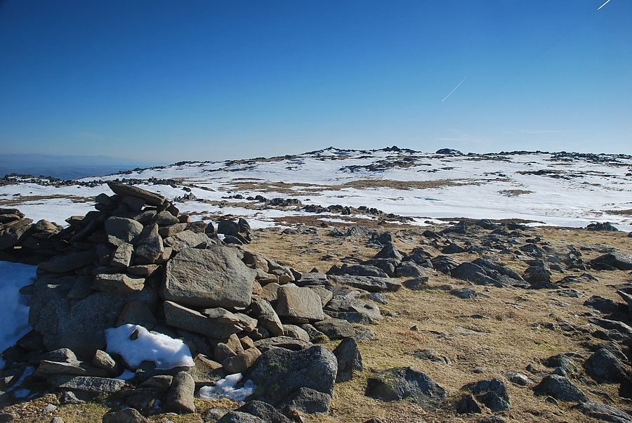
| The cairn on the southern top. Recent surveys now confirm that this is the highest point of Thunacar Knott |
 |
| However, Wainwright (and a few other guide book authors) regarded the northern top, beyond the summit tarn, as the "official" summit whilst acknowledging the fact that it is clearly lower than the southern top - all very confusing! |
 |
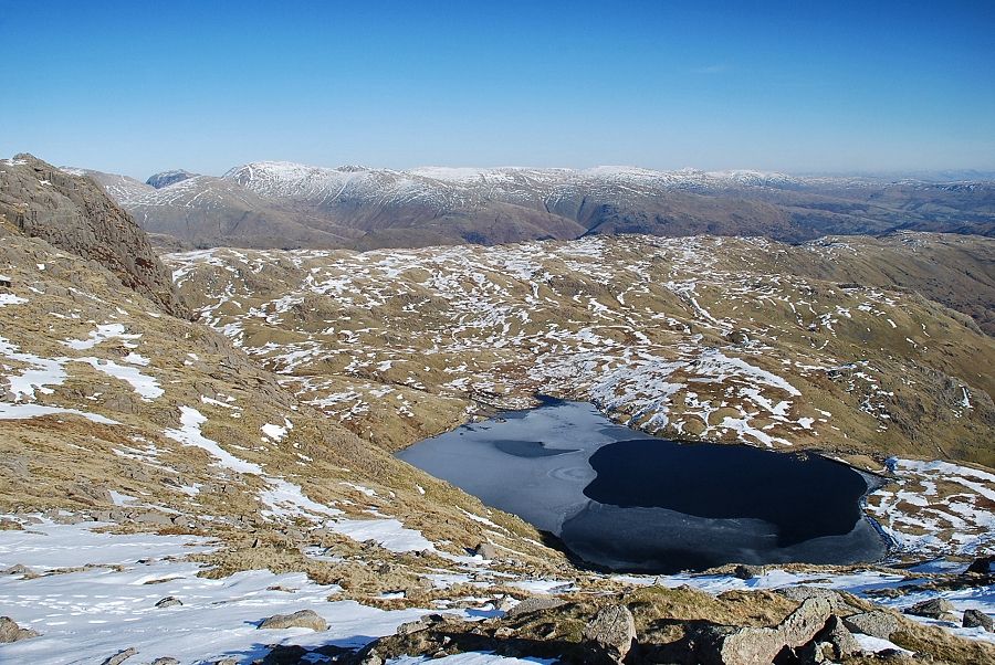
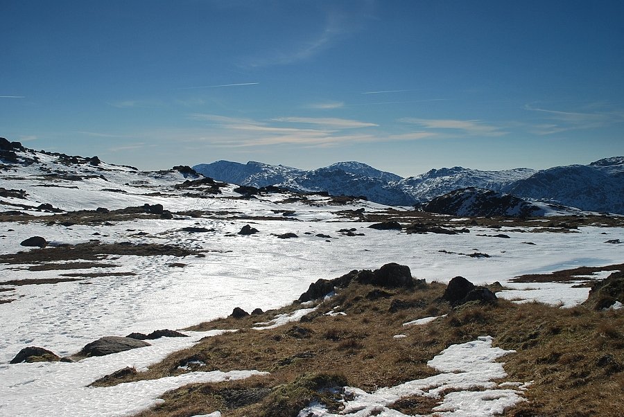
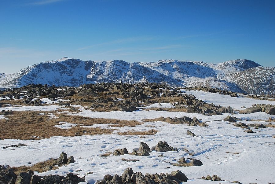
| Skiddaw and High Raise from the southern top of Thunacar Knott |
 |
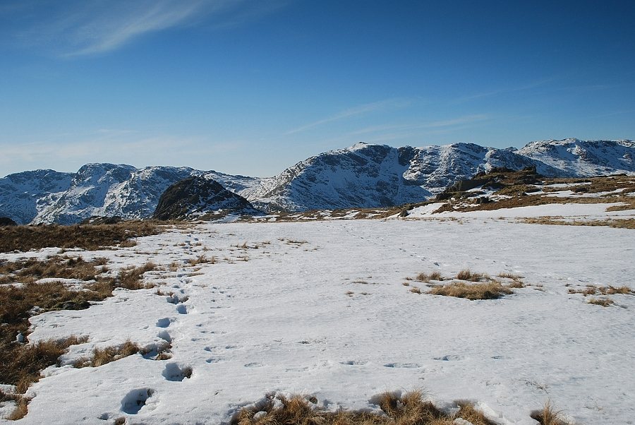
| Sergeant Man with the summits of Helvellyn, Nethermost Pike, Dollywaggon Pike, St. Sunday Crag and Seat Sandal on the skyline |
 |
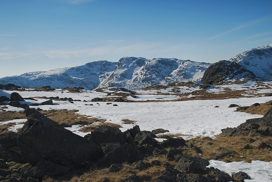
| Seat Sandal, Fairfield, Hart Crag, Great Rigg, Red Screes, Ill Bell and Yoke on the skyline, with the summit of Pavey Ark in the right foreground |
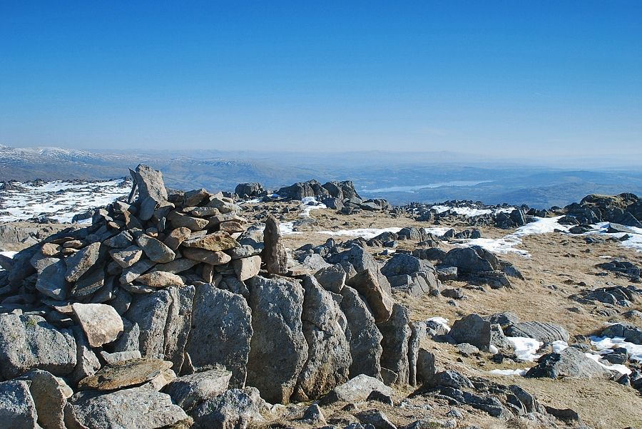 |
| Windermere from the summit of Thunacar Knott |
 |
| Harrison Stickle with Wetherlam on the right |
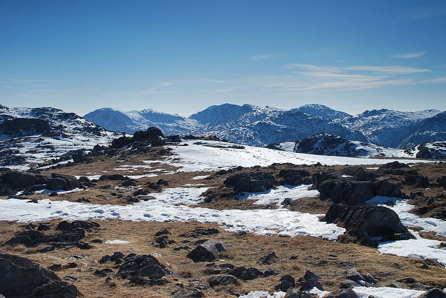 |
| The Coniston Fells from the summit of Thunacar Knott |
 |
| Crinkle Crags over the summit of Pike o' Stickle |
 |
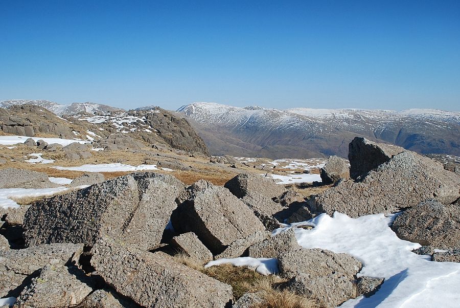
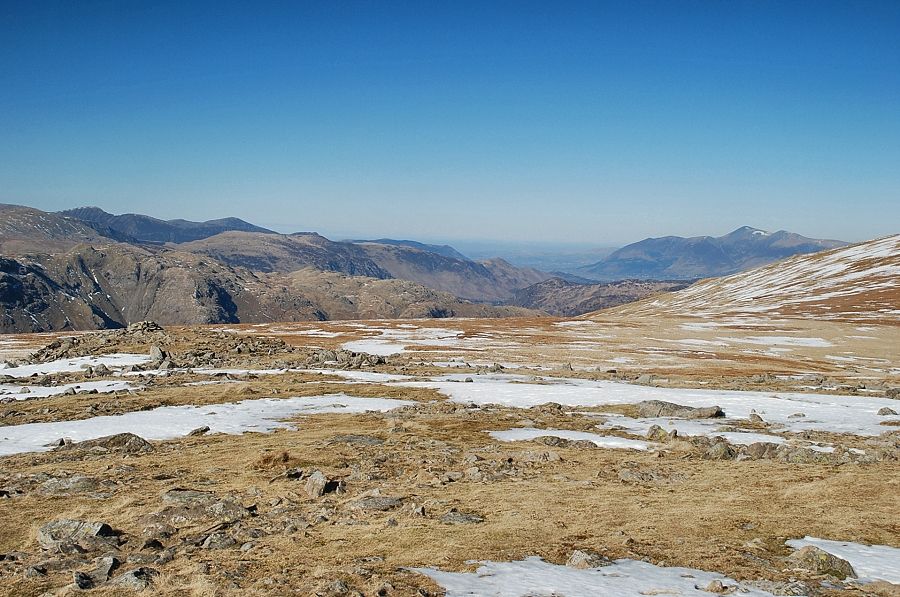
| Bowfell, Esk Pike, Great End and Allen Crags. The summits of Scafell and Scafell Pike are just visible between Ore Gap and Esk Pike |
 |
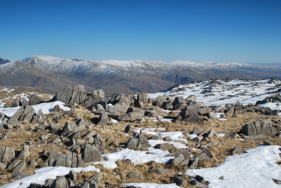
| Looking north-west, Great Gable, Green Gable and Glaramara |
 |
| Approaching the northern top of Thunacar Knott |
 |
| Looking back to the higher southern top from the cairn on the northern top |
 |
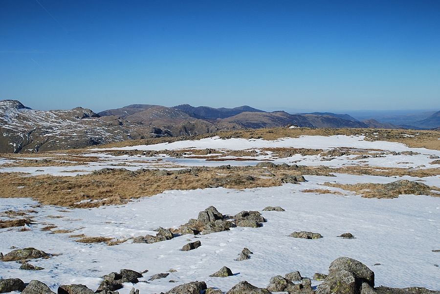
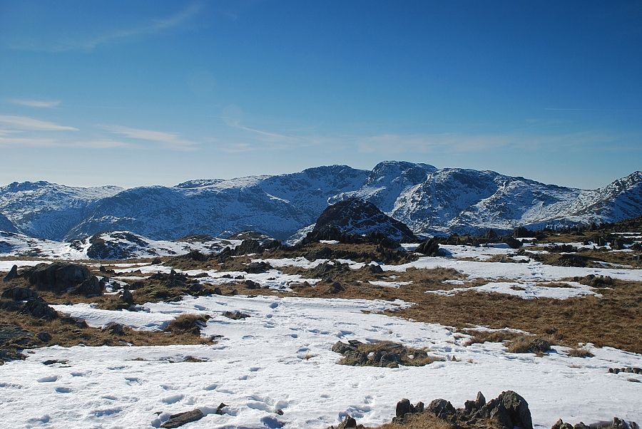
| The North Western Fells and Skiddaw from the northern top of Thunacar Knott |
 |
| The views from the northern top are much the same as those from the southern one. However, from here there is good view of the ridge leading up to the summit of Rossett Pike, seen here in the right middle distance |
