 |
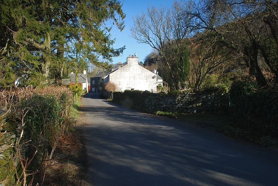
| The hamlet of High Nibthwaite on the east side of Coniston Water is the starting point for this walk |
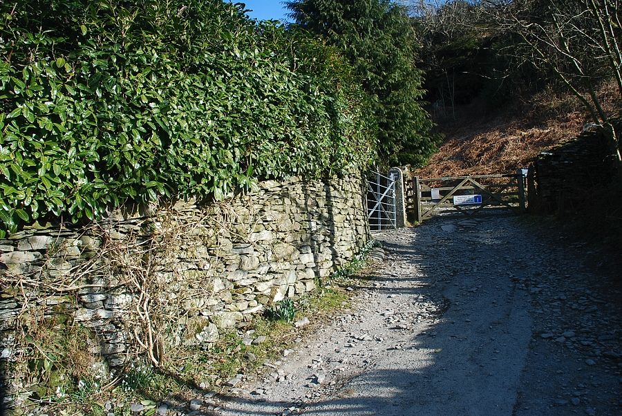 |
| A short lane which starts from the telephone box leads up to a gate which gives access to the open fellside, this is the start of the old Parkamoor road |
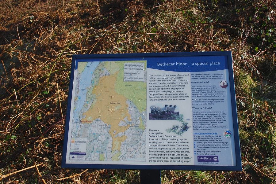 |
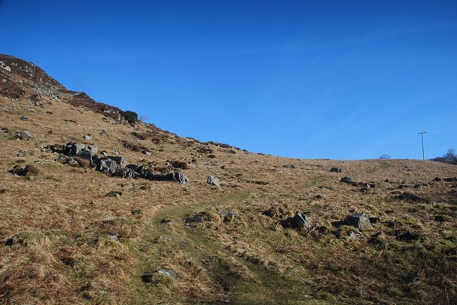
| The path to High Bethecar turns off to the right from the information board |
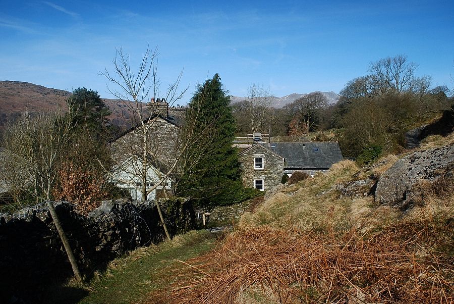 |
| Looking back to High Nibthwaite from the start of the path to High Bethecar |
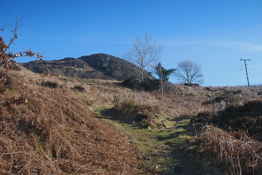 |
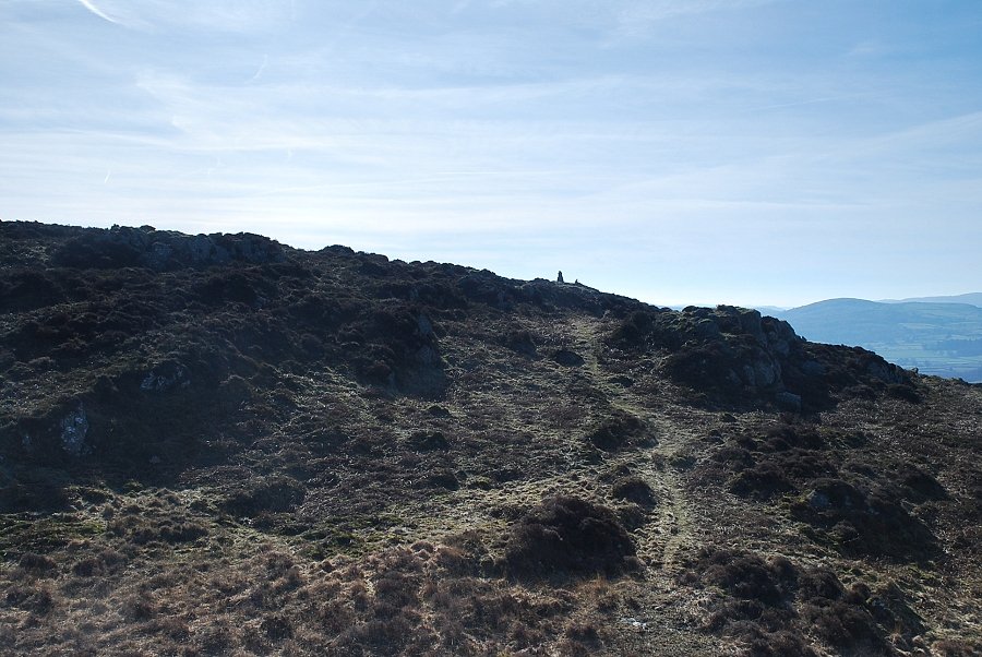
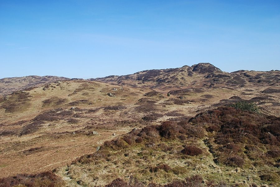
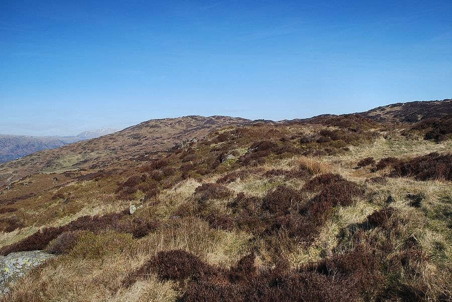
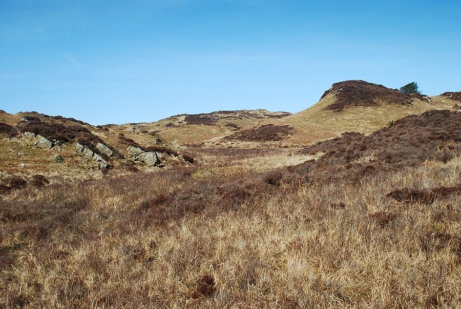
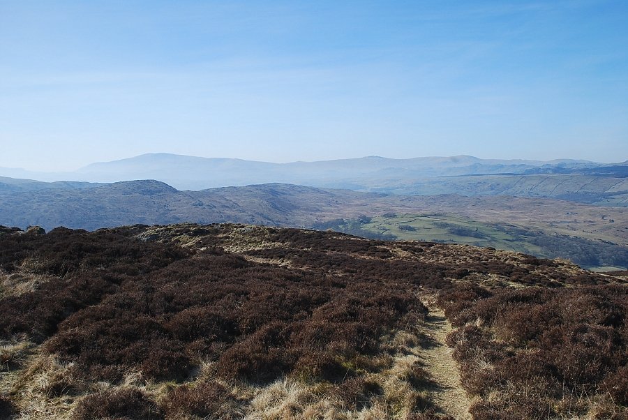
| The summit of Brock Barrow soon comes into view |
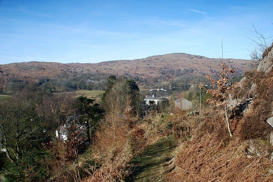 |
| Looking back to Beacon Fell above the foot of Coniston Water |
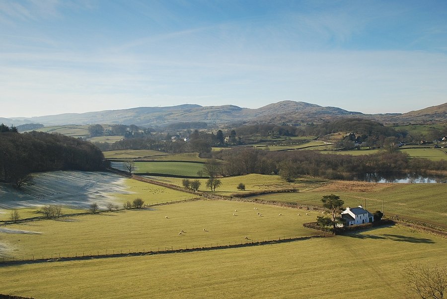 |
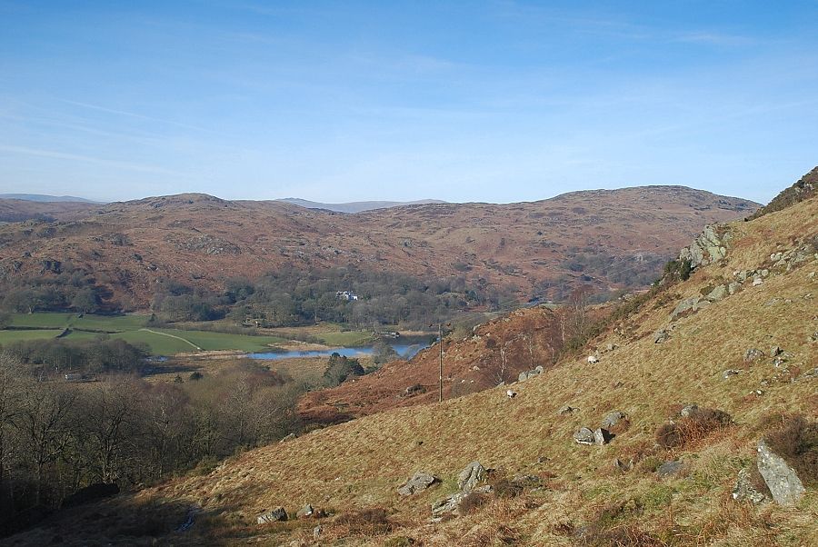
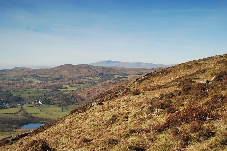
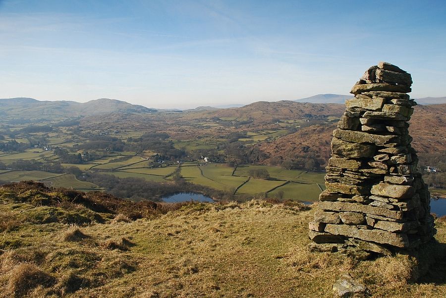
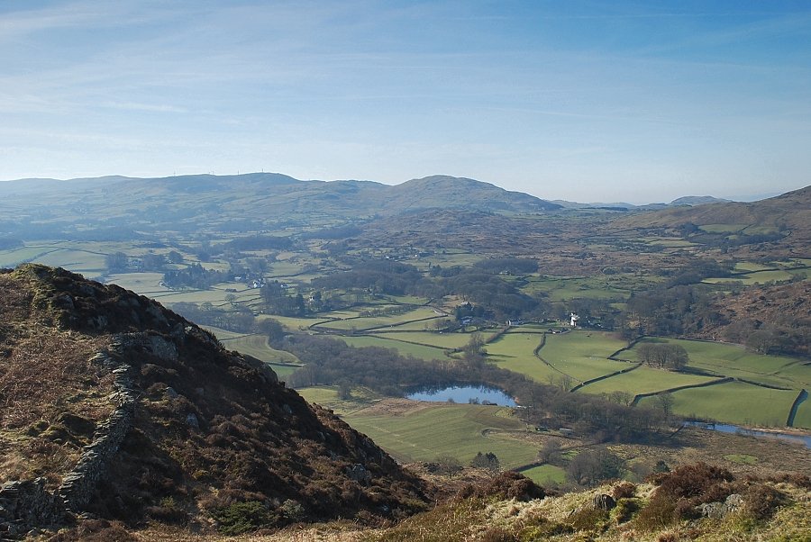
| Looking across the Crake Valley to Kirkby Moor and Great Burney with Allan Tarn in the right foreground |
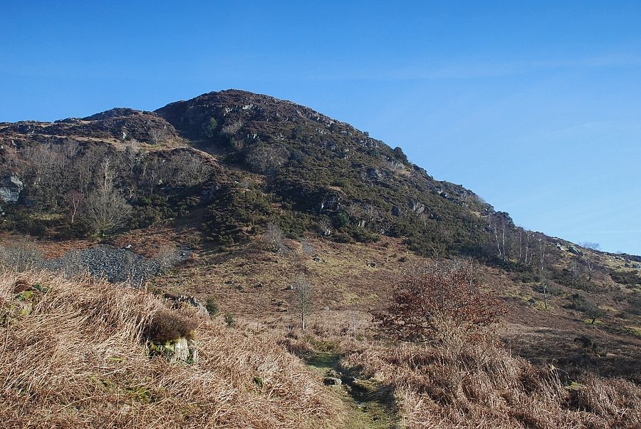 |
| Brock Barrow is AW's "nameless summit" and he climbed it by the steep gully which rises right to left through the broken crags, an arduous ascent! |
 |
| It is much easier to continue on the gentler path to High Bethecar and climb Brock Barrow from the rear |
 |
| Looking back, Buck Barrow and Whit Fell appear on the horizon over the col between Wool Knott and Beacon Fell |
 |
| Looking back to Great Burney and Blawith Knott with Black Combe on the right skyline |
 |
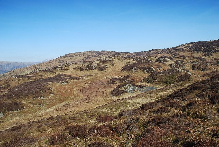
| Where the High Bethecar begins to descend towards Caws Beck, another path turns off it and begins to climb the southern slopes of Brock Barrow |
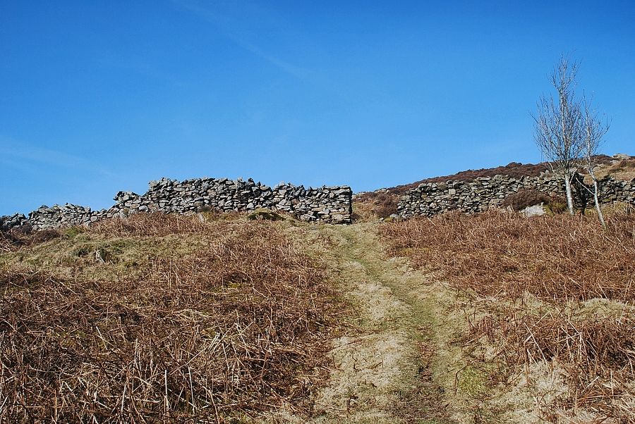 |
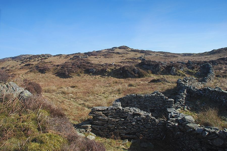
| The path passes through a gap in the wall which almost encircles the summit of Brock Barrow |
 |
| Black Combe over Blawith Knott from the climb to the summit of Brock Barrow |
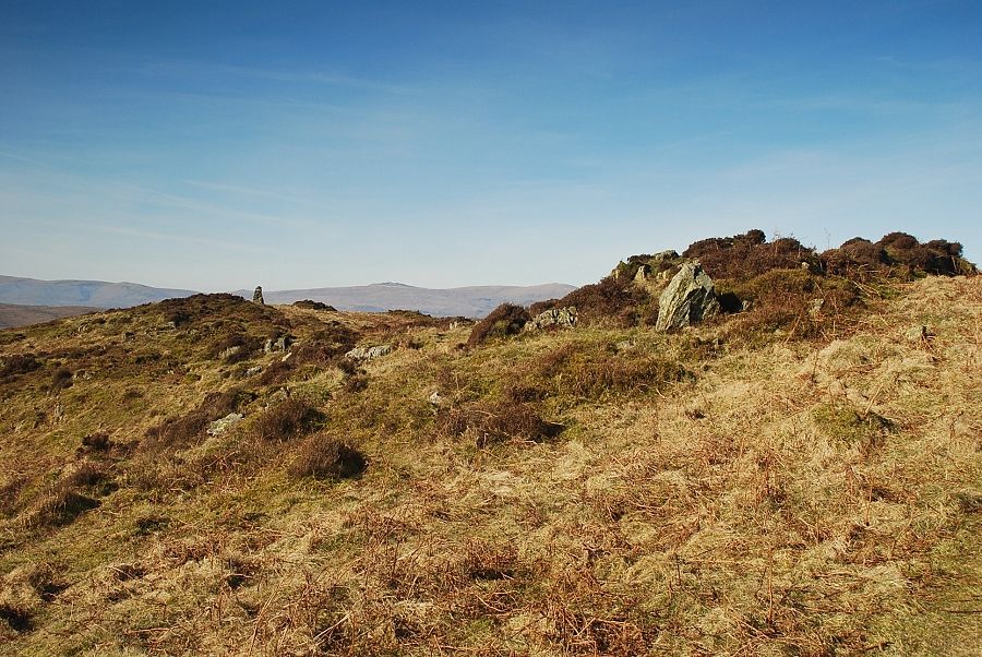 |
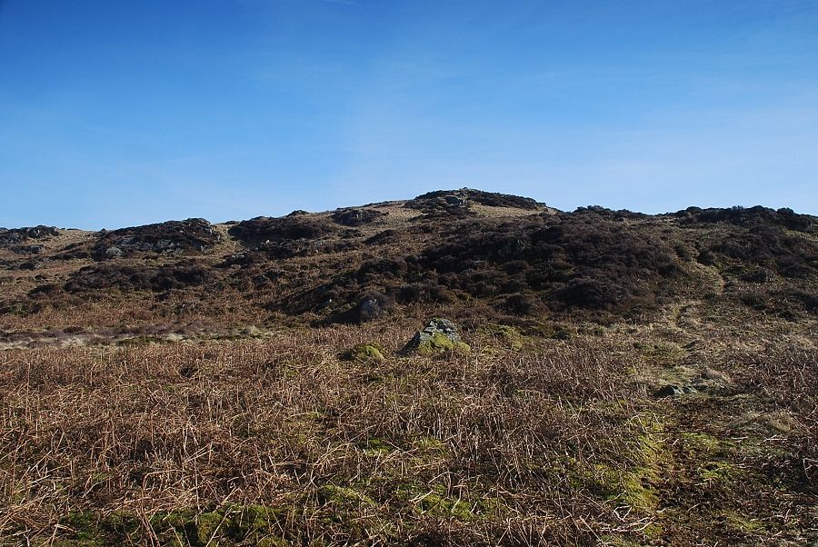
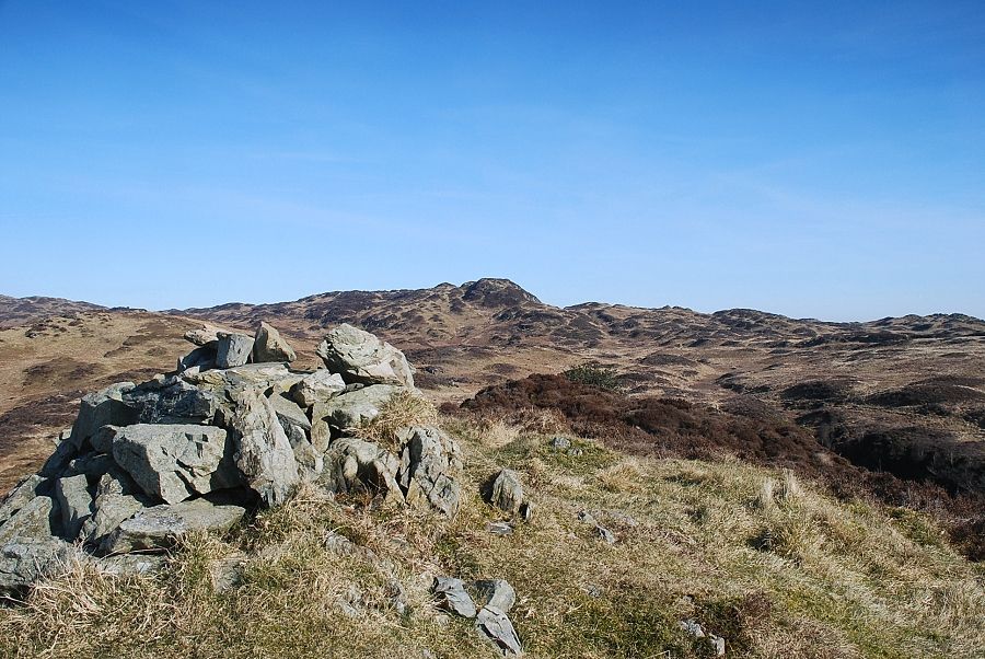
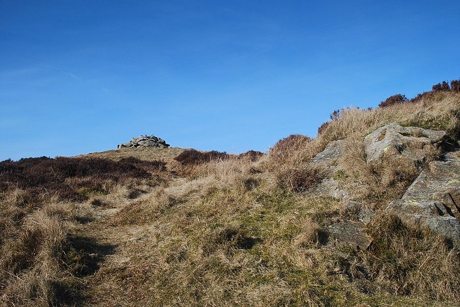
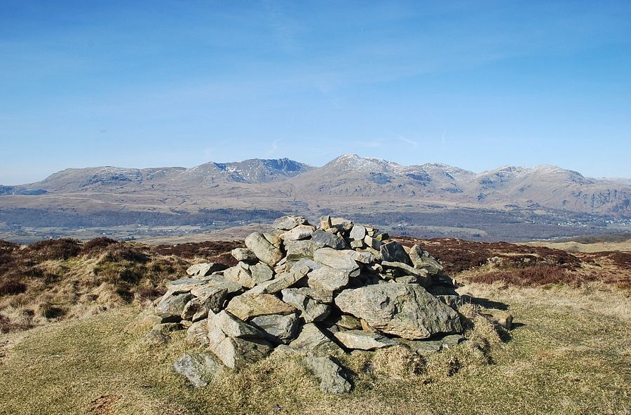
| The summit cairn on Brock Barrow comes into view |
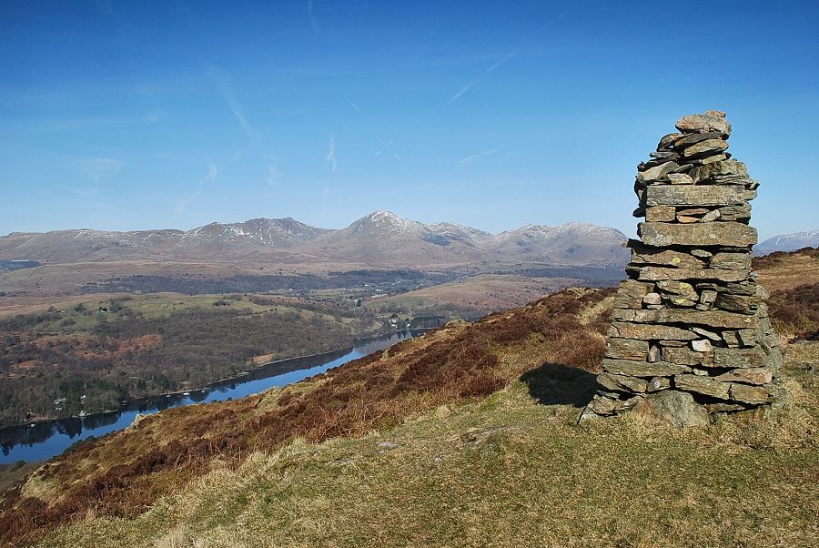 |
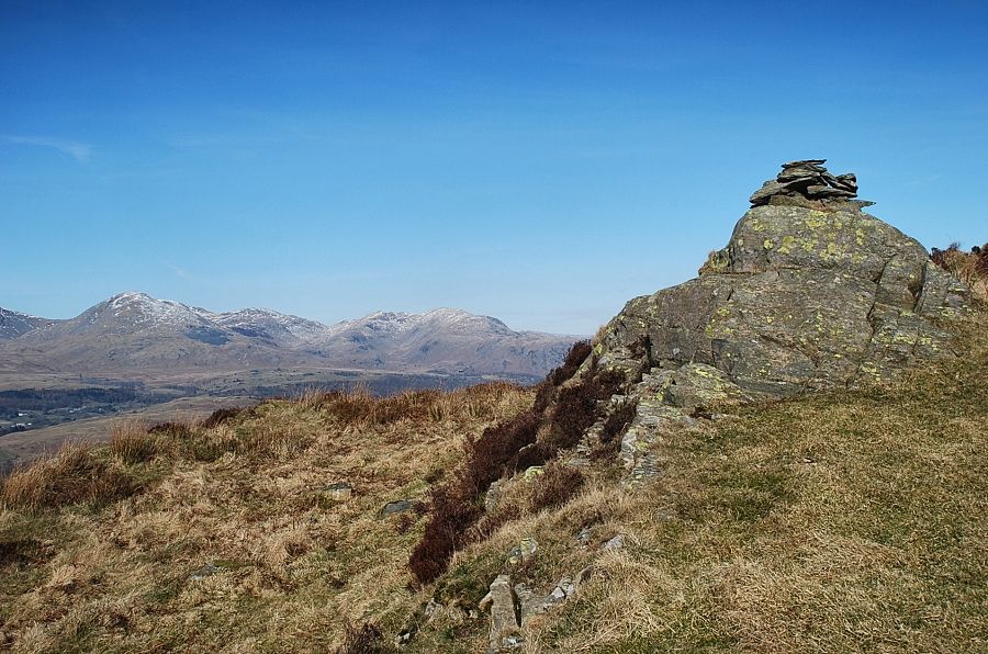
| The Coniston Fells from the summit of Brock Barrow |
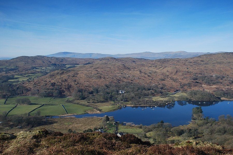 |
| The foot of Coniston Water from the summit of Brock Barrow |
 |
| The middle reaches of Coniston Water from the summit of Brock Barrow |
 |
| Allan Tarn from the cairn on Brock Barrow |
 |
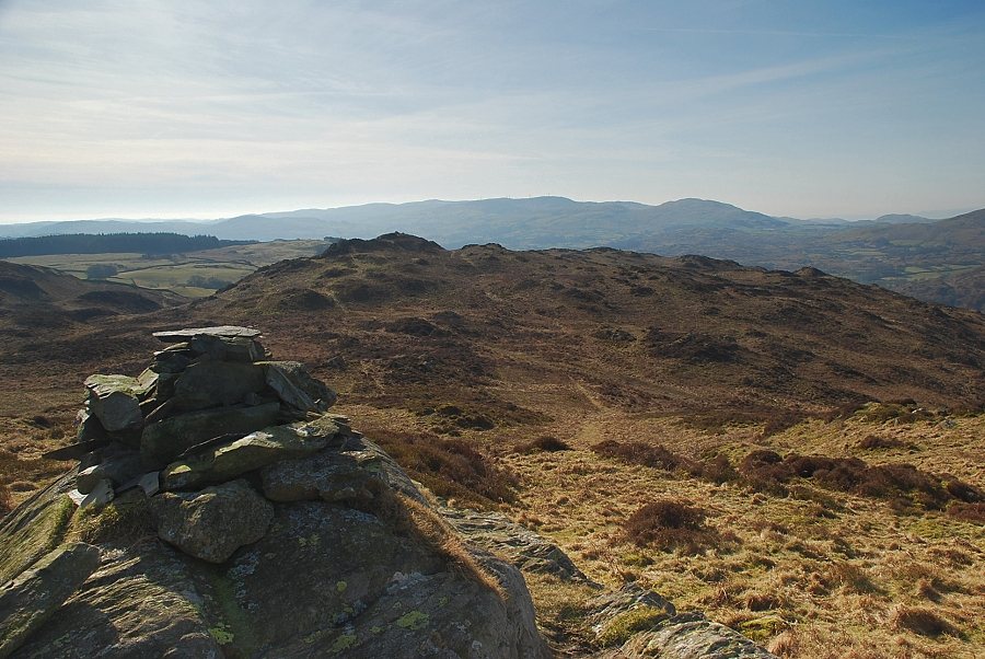
| The path continues on northwards towards a second cairn which is an even better viewpoint |
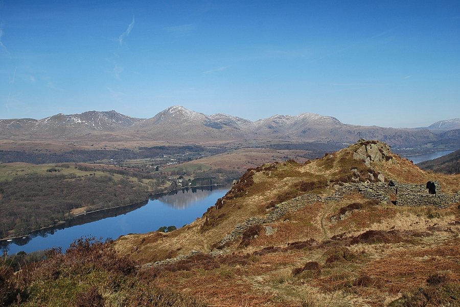 |
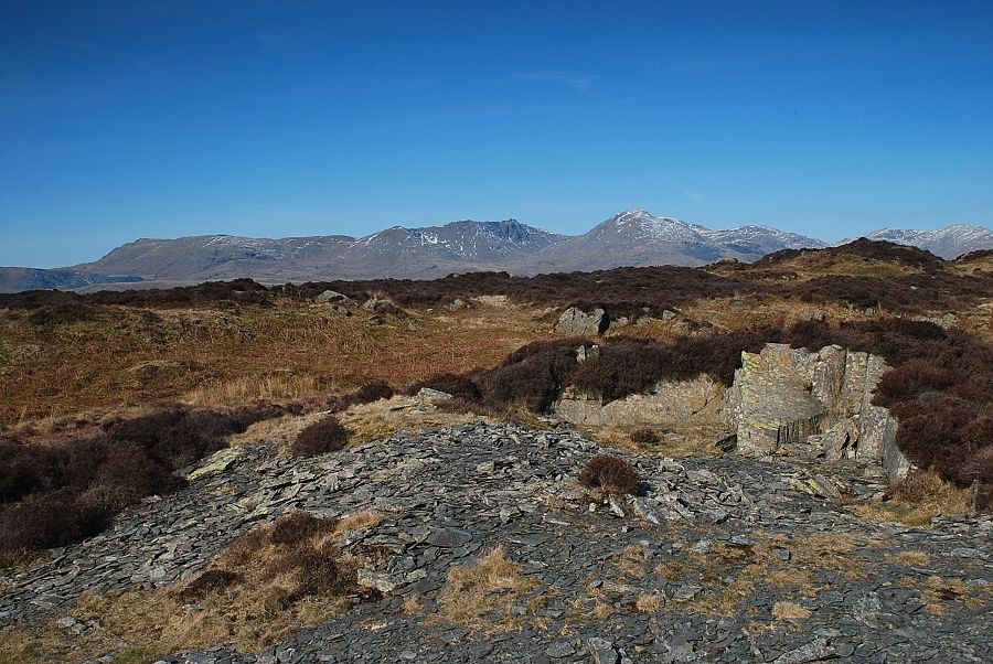
| Approaching the second cairn which is set on a prominent knoll above a ruin |
 |
| The next objective, the summit of Low Light Haw, from the ruin below the second cairn |
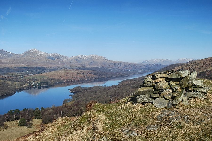 |
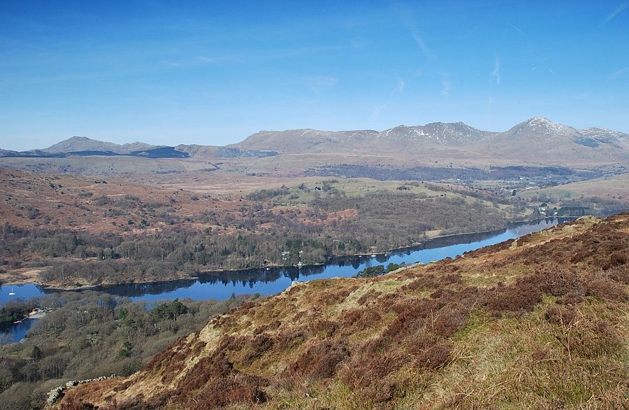
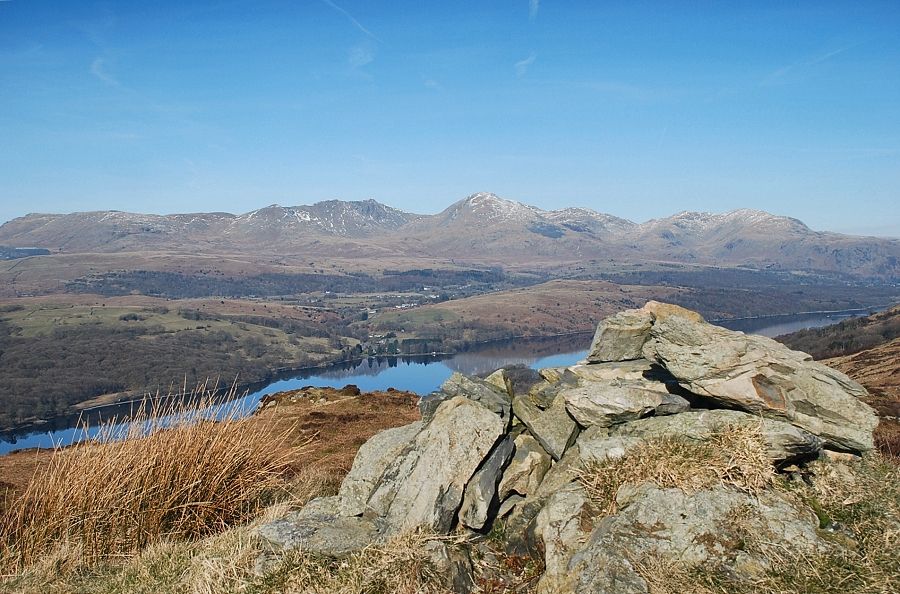
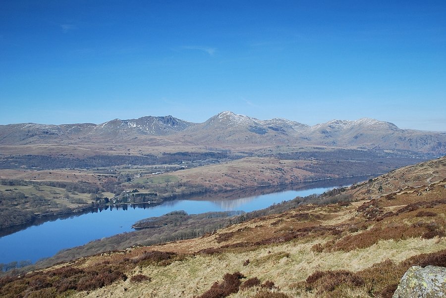
| The head of Coniston Water from the second cairn |
 |
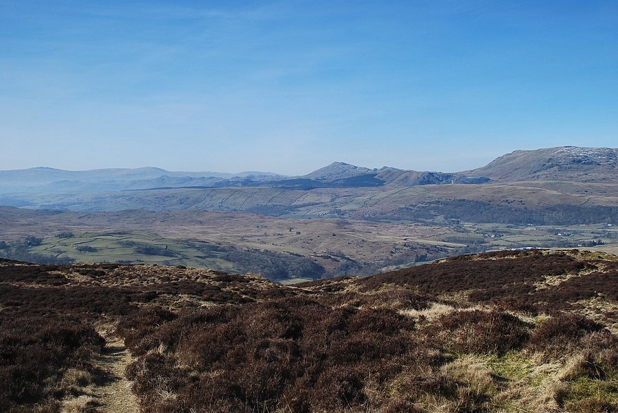
| The Dunnerdale fells, Caw and White Maiden |
 |
| Looking back to the main cairn on Brock Barrow from the second cairn |
 |
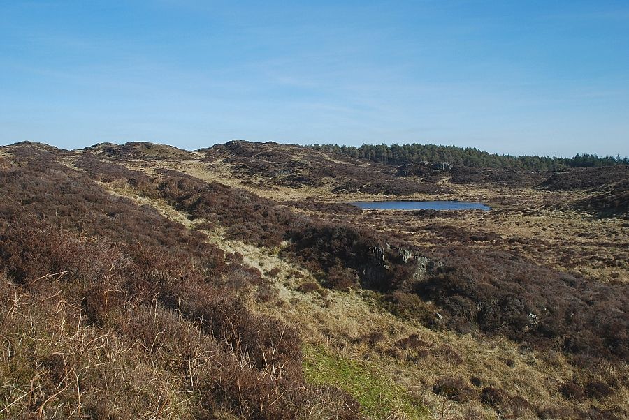
| Allan Tarn from the second cairn |
 |
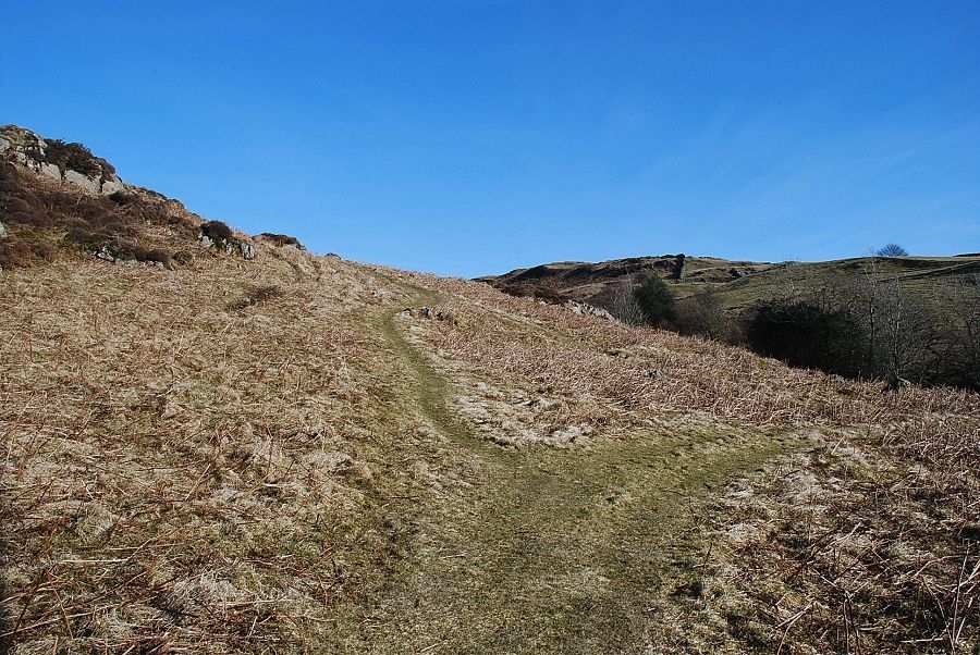
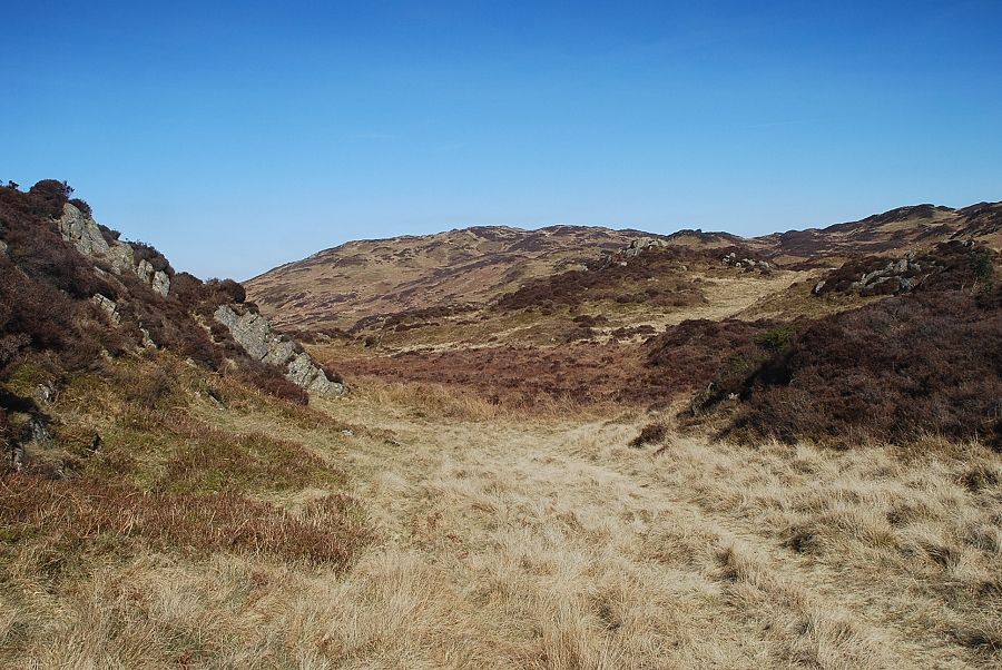
| The path to Low Light Haw |
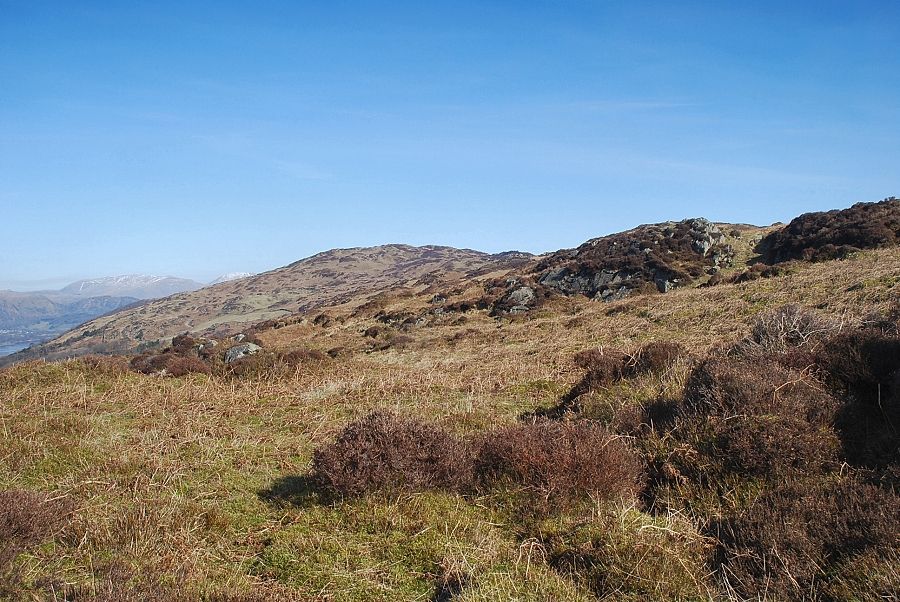 |
| Looking over to Top o' Selside from the path to Low Light Haw |
 |
| The summit cairn on Low Light Haw looking towards Arnsbarrow Hill |
 |
| The Coniston Fells from the summit of Low Light Haw |
 |
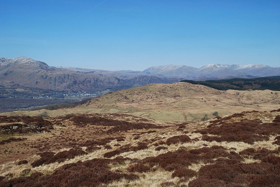
| Looking back to Brock Barrow from the summit of Low Light Haw |
 |
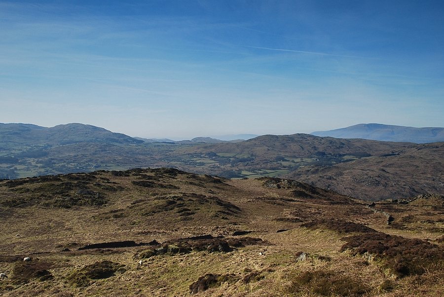
| Looking south to the Leven Estuary |
 |
| The next objective is High Light Haw seen here in the left middle distance between the summits of Top o' Selside and Arnsbarrow Hill |
 |
| The summit cairn on High Light Haw |
 |
| Looking back to Low Light Haw from the summit of High Light Haw |
 |
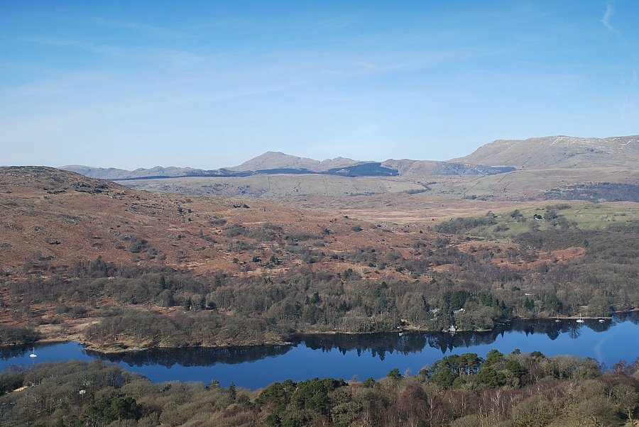
| Coniston Water from the summit of High Light Haw |
 |
| Top o' Selside from High Light Haw |
 |
| Descending High Light Haw towards the old quarry |
 |
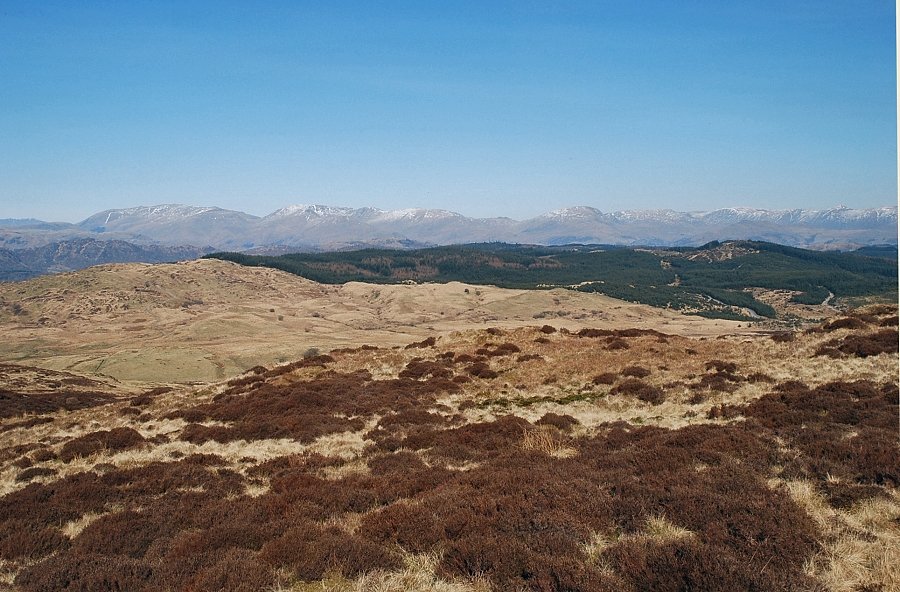
| The Coniston Fells from the old quarry on Bethecar Moor |
 |
| Top o' Selside from Bethecar Moor |
 |
| As AW pointed out, the approach to Top o' Selside over Bethecar Moor is "two miles of wilderness gymnastics in a tangle of bracken and heather" |
 |
| Arnsbarrow Tarn from the slopes of Top o' Selside |
 |
| The summit cairn on Top o' Selside comes into view |
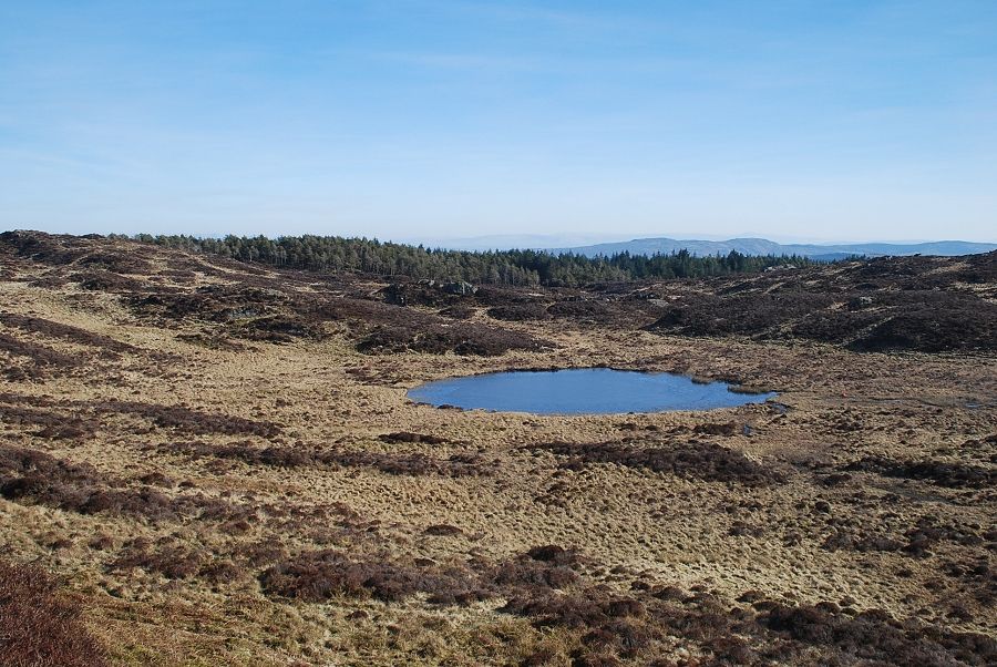 |
| Arnsbarrow Tarn from the summit of Top o' Selside |
 |
| The Coniston Fells from the summit of Top o' Selside |
 |
| Wetherlam, Helvellyn, Fairfield, Hart Crag and Dove Crag, with a distant Blencathra left of centre |
 |
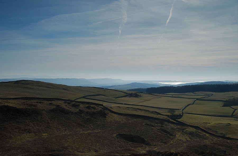
| The Far Eastern Fells on the right over the Grizedale Forest. The rock peak in the trees is Carron Crag, another of AW's Outlying Fells |
 |
| Caw and White Maiden from the summit of Top o' Selside |
 |
| This path leads down the western slopes of Top o' Selside and joins the Parkamoor Road where a left turn takes you back to High Nibthwaite |
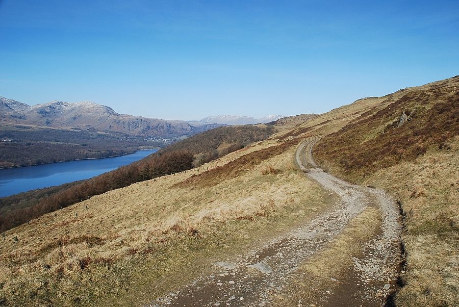 |
| The head of Coniston Water from the Parkamoor Road |
