 |
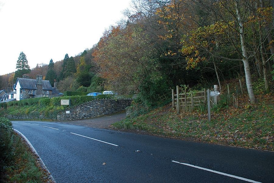
| Ravenstone Hotel at the beginning of the walk. The footpath starts from a gate adjacent to the hotel's driveway |
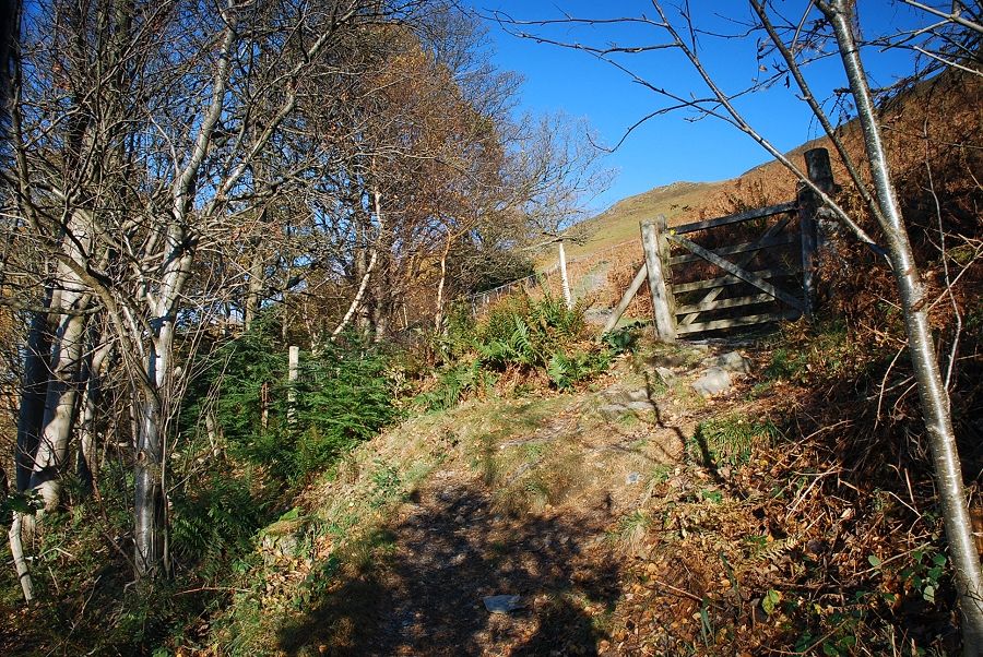 |
| The path climbs very steeply through the Rabbit Warren plantation to a gate at its top edge |
 |
| The gate gives access to the open fellside and a path rising alongside the Dyke Nook plantation |
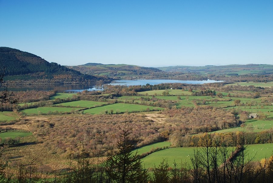 |
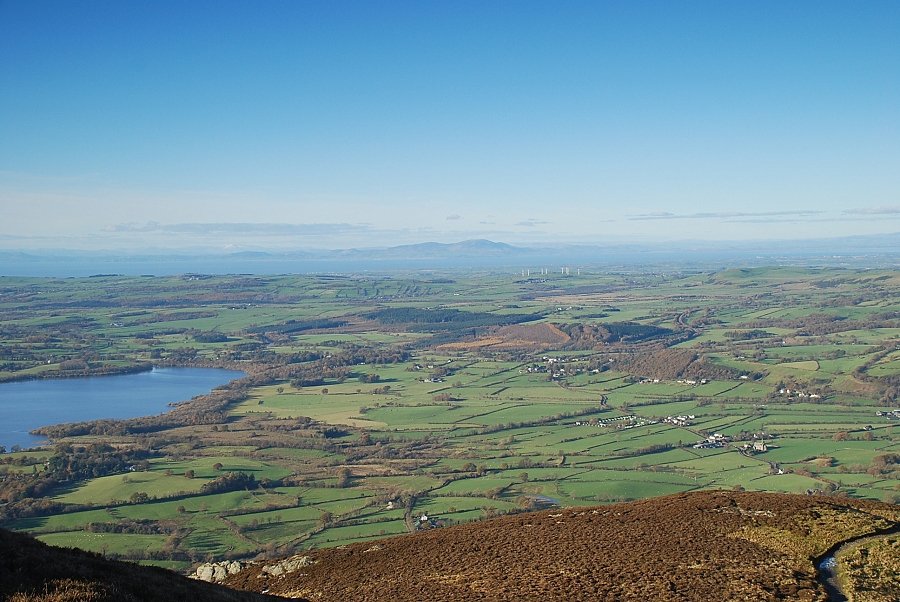
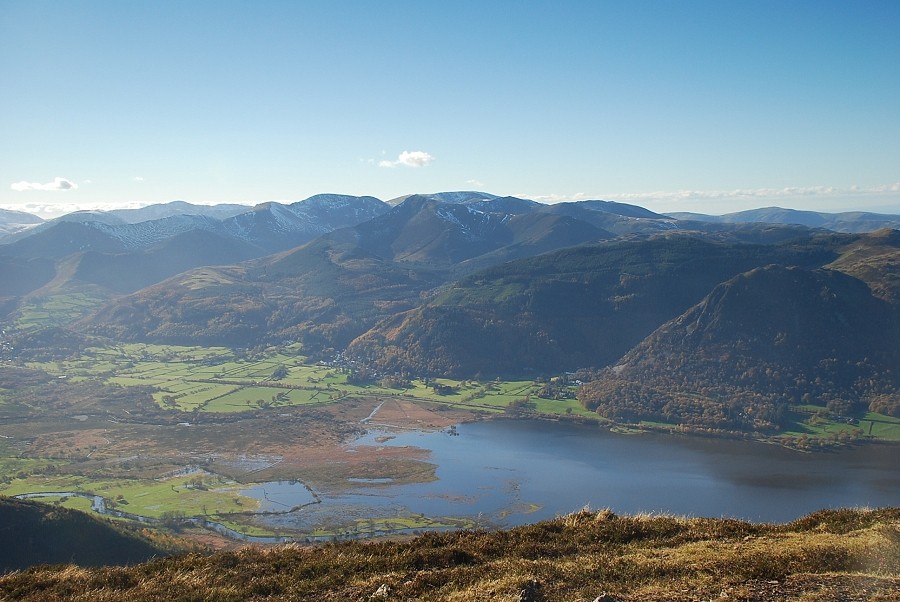
| The head of Bassenthwaite Lake above the trees of Dyke Nook |
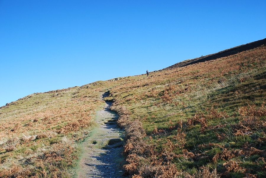 |
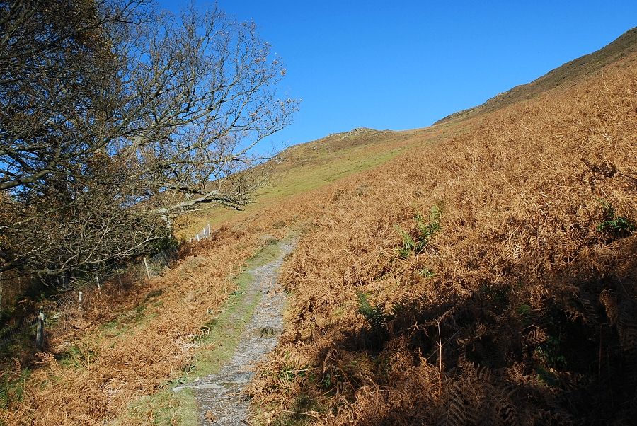
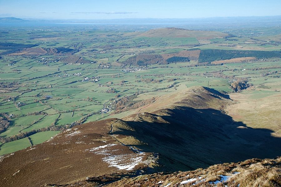
| After following the forest fence for a few hundred yards, the path begins to climb more steeply across the slopes of Ling How towards the ridge line |
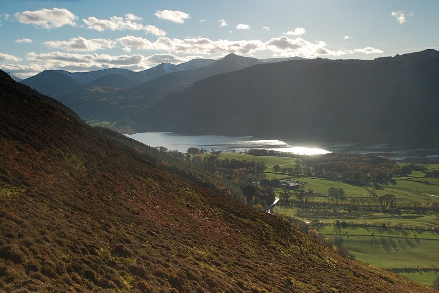 |
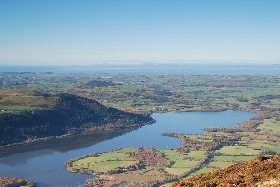
| Bassenthwaite Lake and the North Western Fells from the slopes of Ling How |
 |
| Looking back along the path up Ling How |
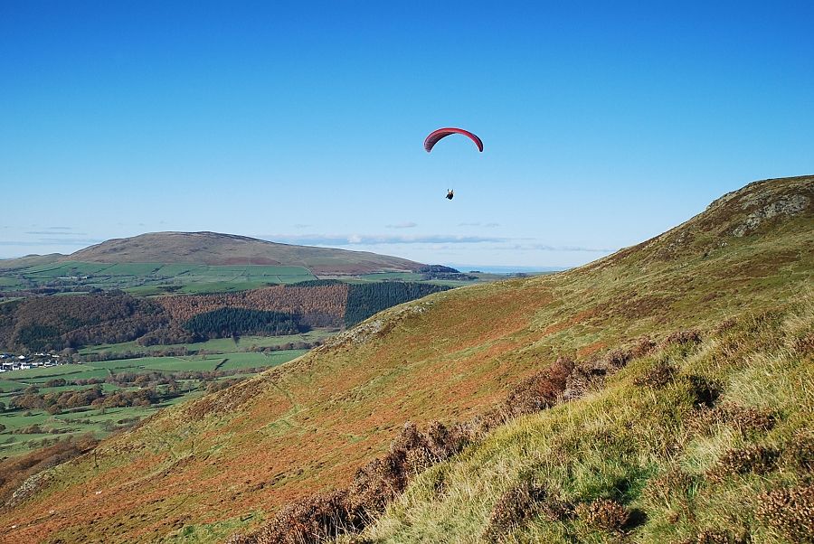 |
| A paraglider launches himself from Watches |
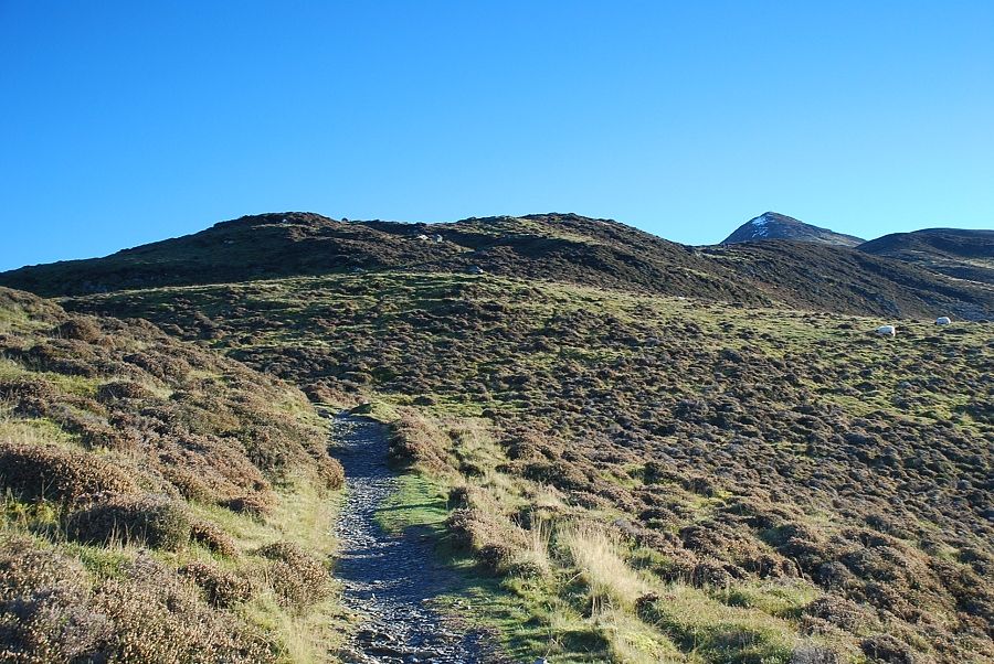 |
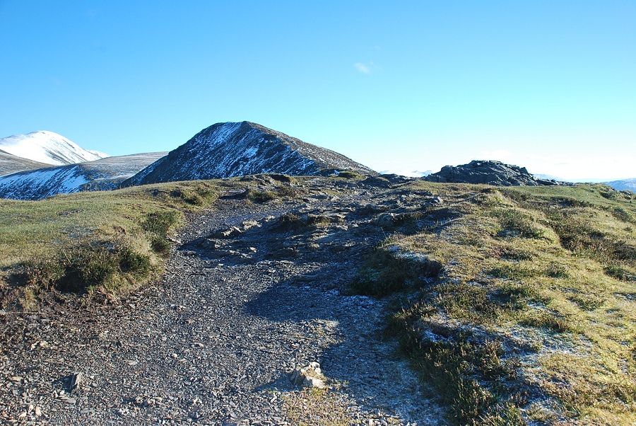
| The summit of Ullock Pike comes into view as the path approaches the ridge line |
 |
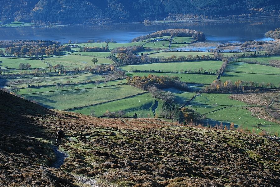
| Another look back to Bassenthwaite Lake from near the ridge line |
 |
| The path gains the ridge line at a shallow depression between Watches and Ling How |
 |
| Great Cockup on the left across Southerdale |
 |
| Randel Crag and Skiddaw above Southerdale |
 |
| Beginning the climb along The Edge to Ullock Pike |
 |
| Looking back along the ridge from the start of the climb |
 |
| Midway on The Edge below the steeper upper section |
 |
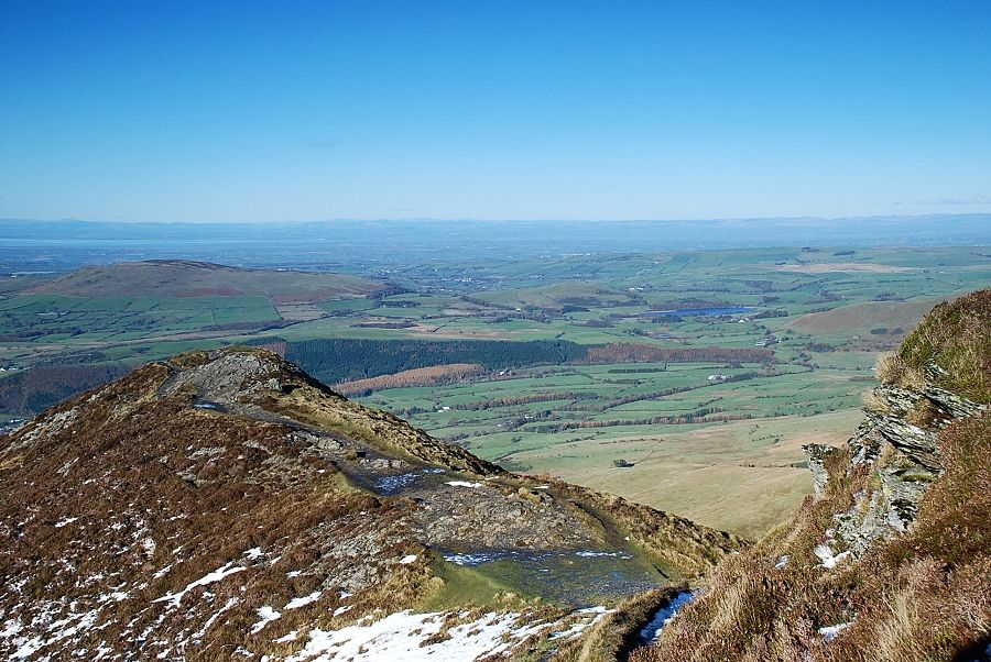
| Looking back to Criffel across the Solway Firth |
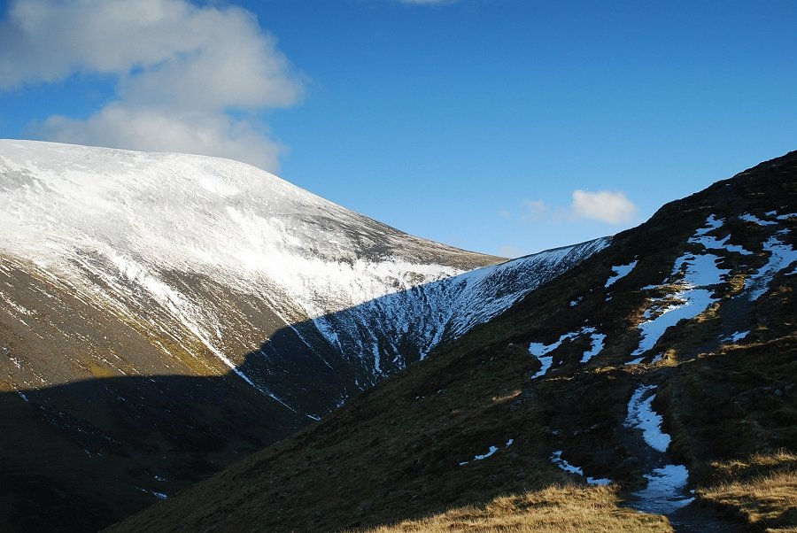 |
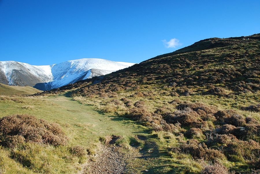
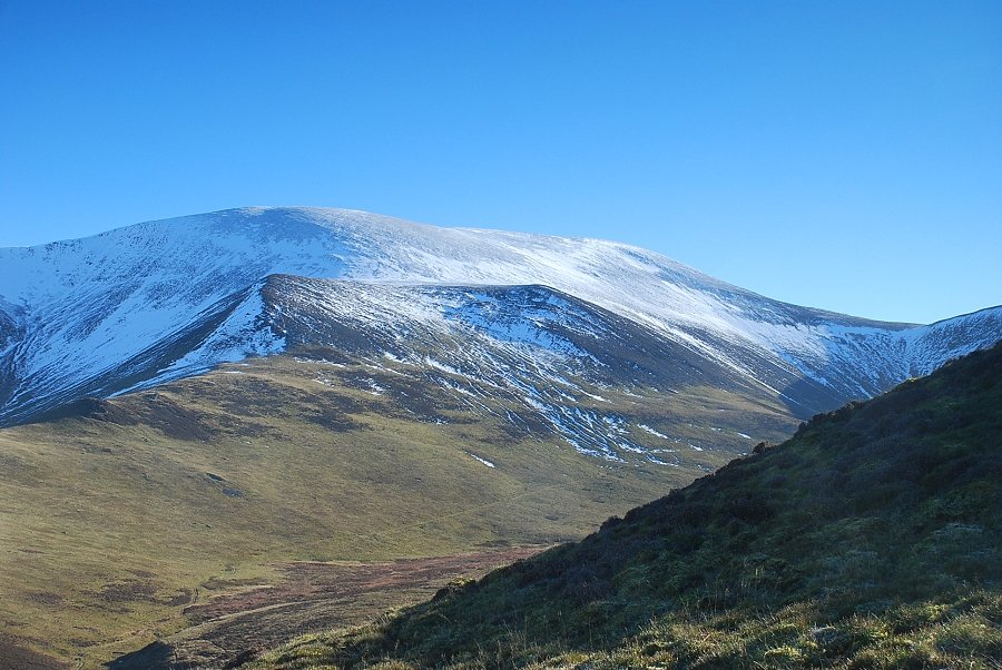
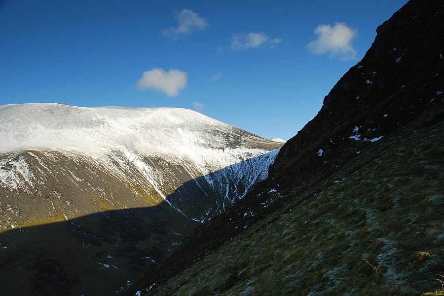
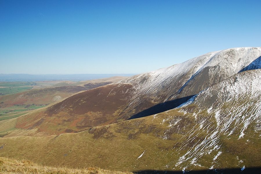
| Skiddaw and Carlside col at the head of Southerdale |
 |
| The path has been worn down to expose the underlying rock in several places, a steep section near the top requires a little care to negotiate safely |
 |
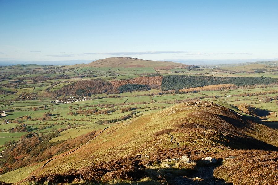
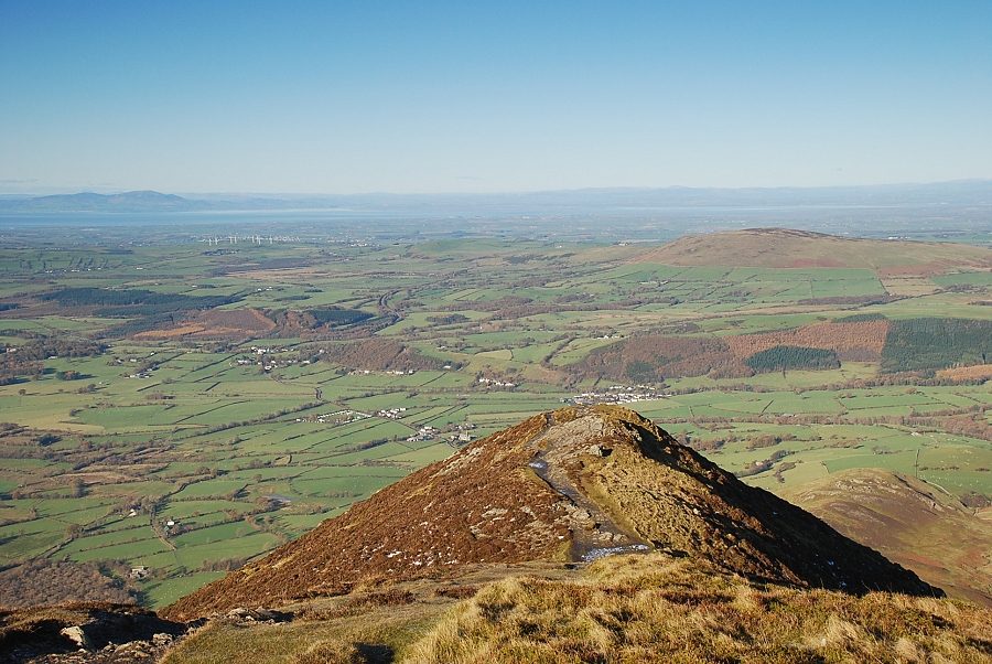
| Looking back towards Binsey |
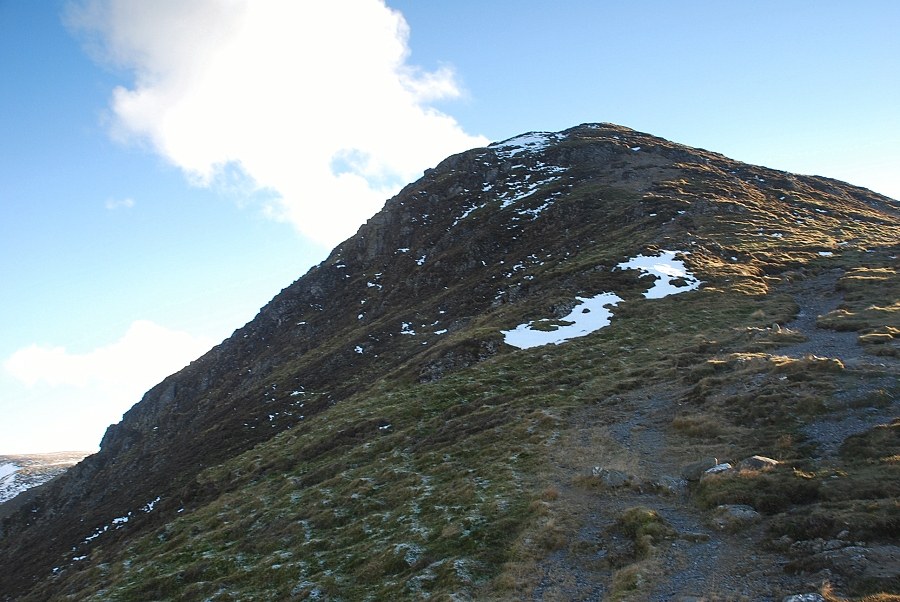 |
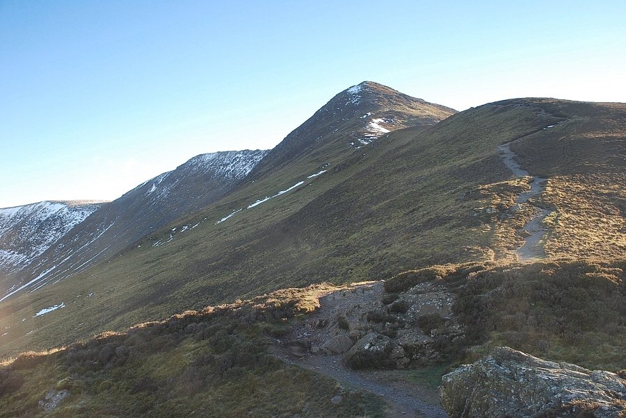
| Looking up to the last steep section, the actual summit lies beyond this false top |
 |
| The summit of Skiddaw Little Man appears above Carlside col |
 |
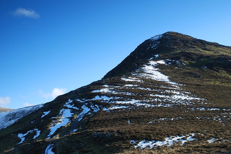
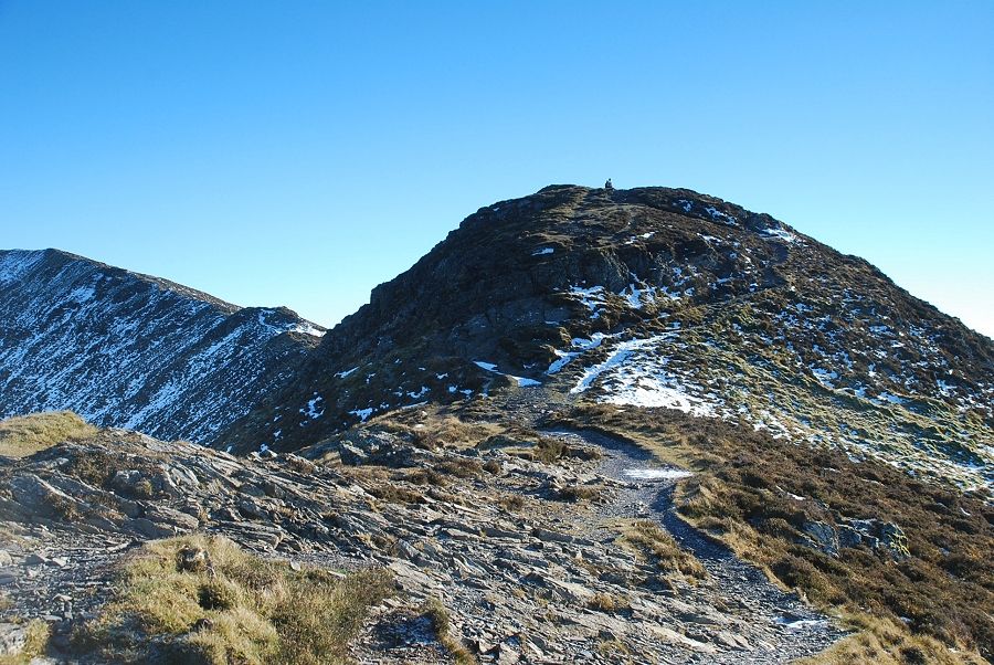
| Looking back along the ridge from the start of the climb to the false top |
 |
| The summit lies just beyond the false top |
 |
| Looking back down The Edge from the false top |
 |
| The summit of Ullock Pike, marked by a loose pile of slate which serves as a cairn |
 |
| Binsey above the false top with Over Water centre right |
 |
| Looking north east to Great Cockup over the lower slopes of Broad End |
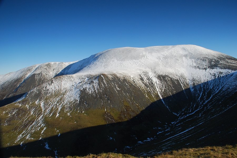 |
| Skiddaw across the head of Southerdale |
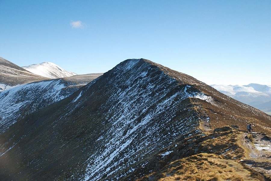 |
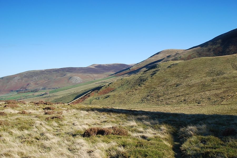
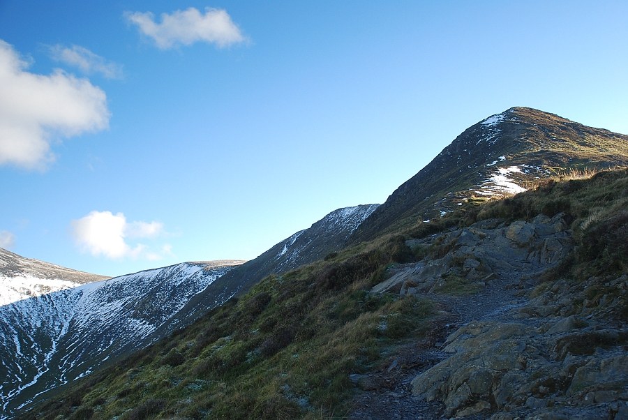
| The connecting ridge to Long Side |
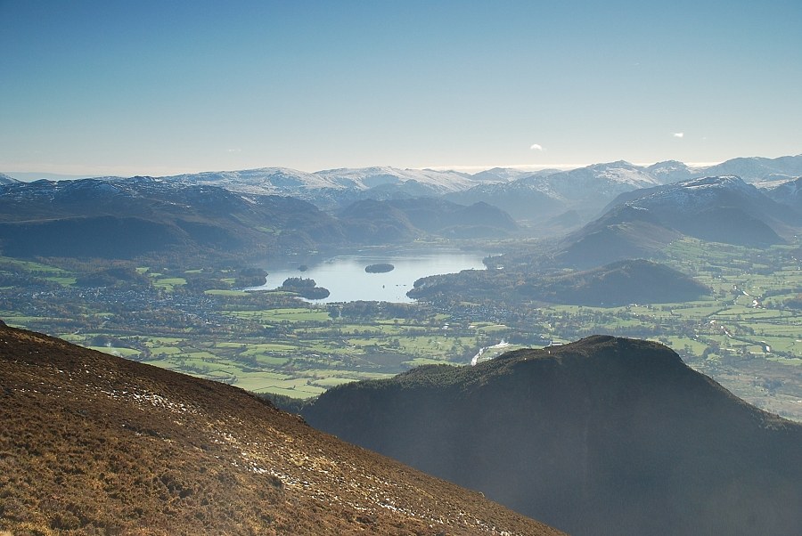 |
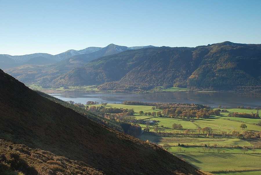
| Derwent Water |
 |
| The Newlands Valley with the Scafells on the skyline |
 |
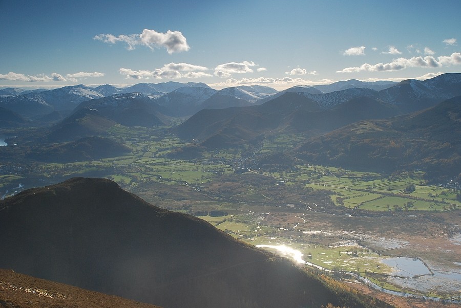
| The North Western Fells |
 |
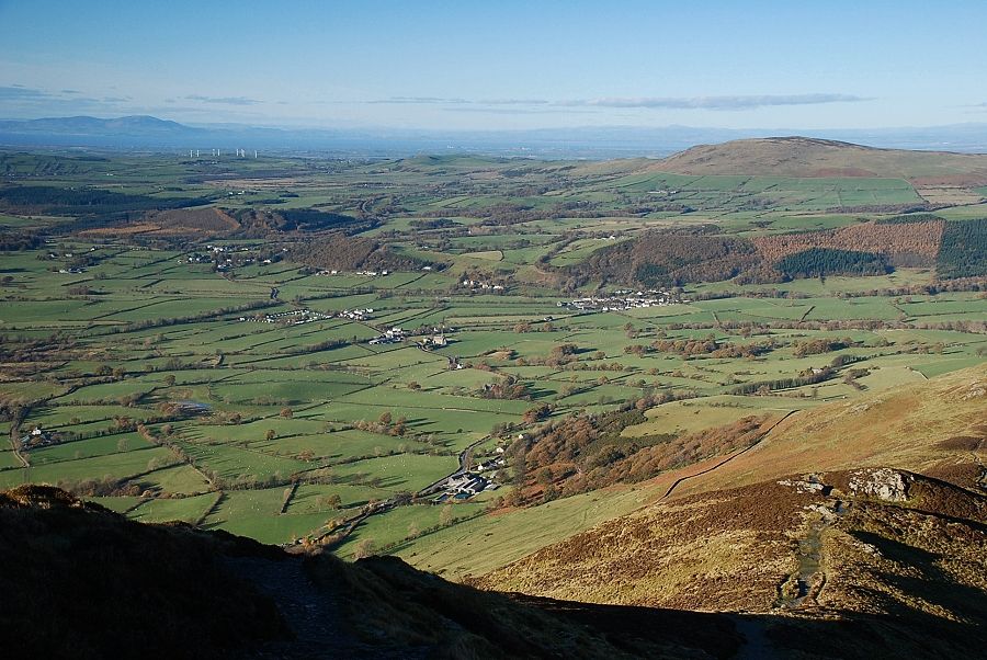
| The head of Bassenthwaite Lake |
 |
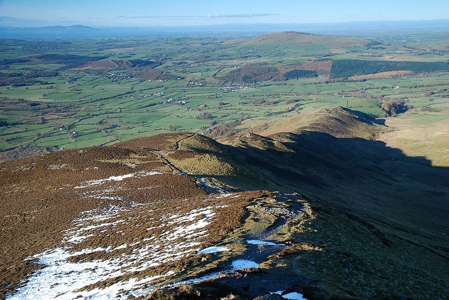
| A look back on the route of ascent |
