
| Ullscarf - Route One |
| Start - Dobb Gill NY 316 140 | Distance - 2.72 miles | Ascent - 1,775 feet | Time - 1 hour : 55 minutes |
 |
|
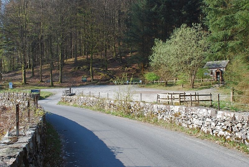
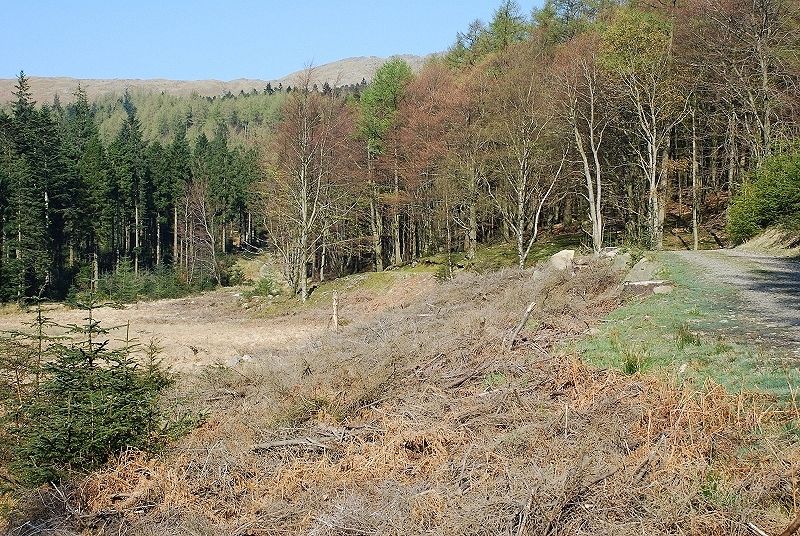
Dob Gill car park near the south west end of Thirlmere is convenient for the start of the walk
|
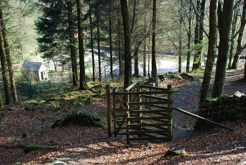 |
| Near the information board, which gives details of circular walks through the forest, a well made path climbs steeply towards Harrop Tarn. Looking back to the car park from the gate in the forest deer fence |
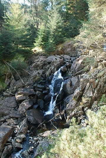 |
| The path levels off as it nears the tarn and passes close by a waterfall. After quite a long period of dry weather there is not much water flowing, normally this is a raging torrent |
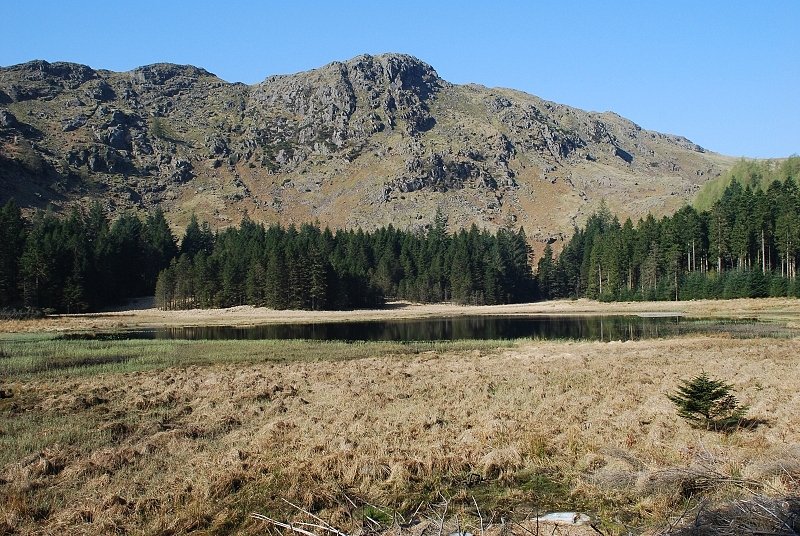 |
| Harrop Tarn backed by Tarn Crags |
 |
| A forest road leads west and begins to climb towards the edge of the forest |
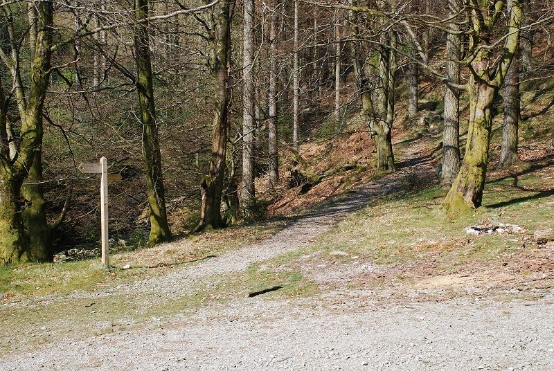 |
| A few hundred yards along the road, at a wide turning area, a signpost indicates the path to Watendlath. The path joins another forest road which is followed for a short distance before another sign points to the line of the old bridleway to Watendlath |
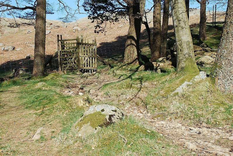 |
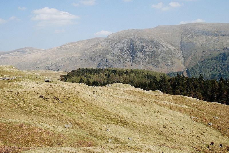
| The old bridleway exits the forest via a gate in the deer fence |
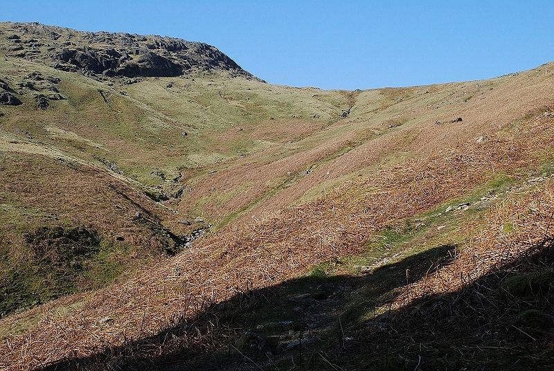 |
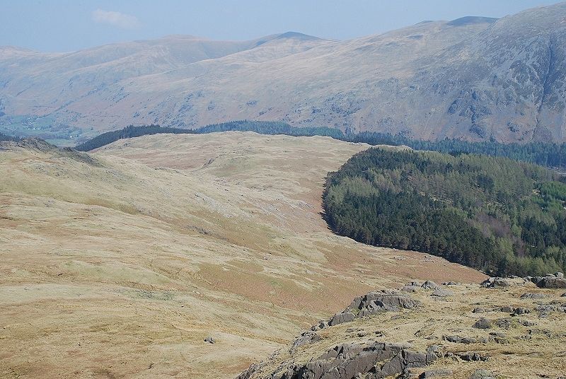
| Looking up Mosshause Gill from the edge of the forest. The bridleway climbs the open slopes well to the right side of the gill |
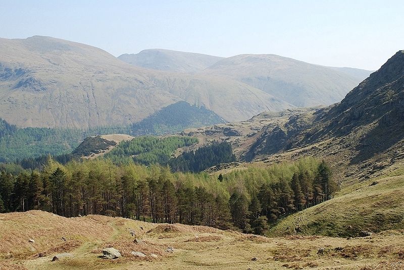 |
| Looking back to the forest edge from the bridleway which becomes quite indistinct in parts. The bridleway is one of two ancient trade routes between Watendlath and the Thirlmere valley. This one served the |
 |
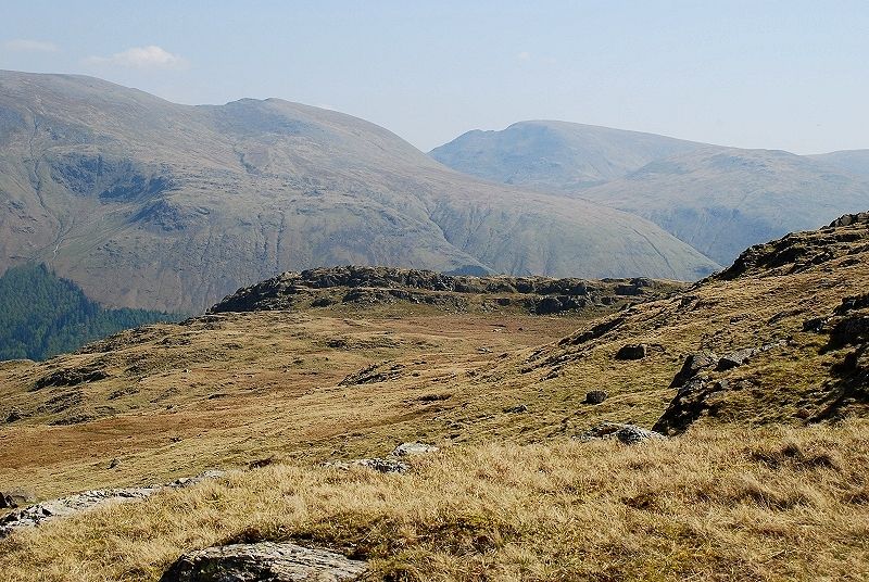
| From the same position on the bridleway looking across to Helvellyn |
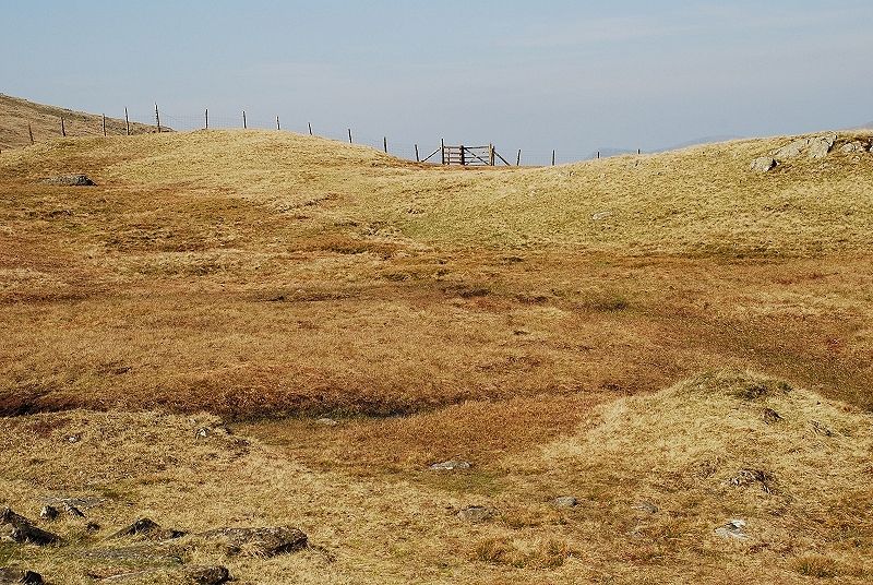 |
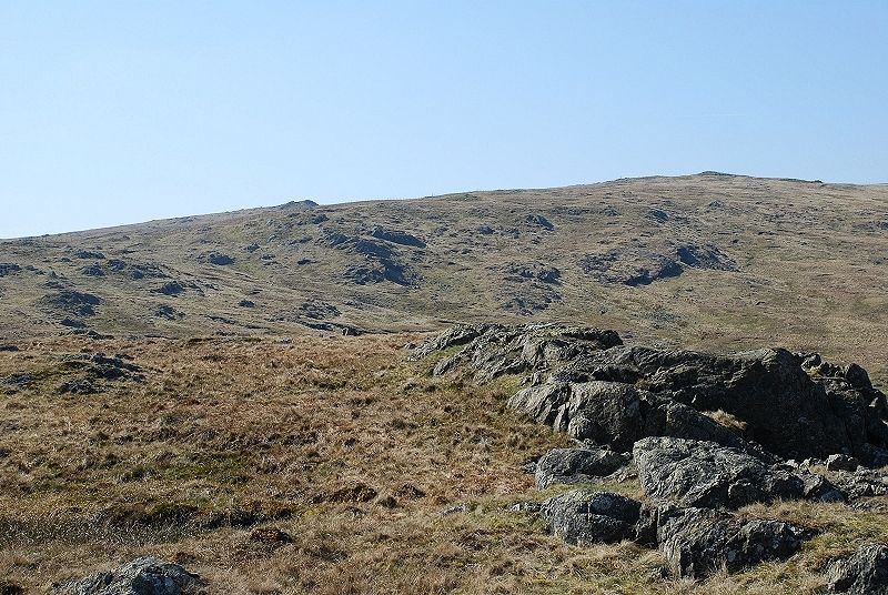
| The gate at the highest point of the bridleway, which continues on over the ridge to Watendlath |
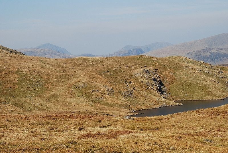 |
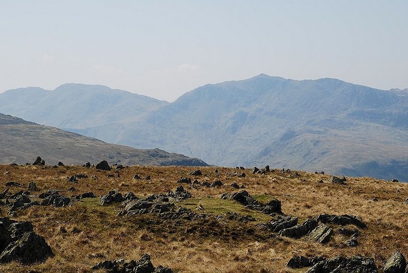
| The view from the fence on the ridge line. Blea Tarn below Coldbarrow Fell which is part of Ullscarf's |
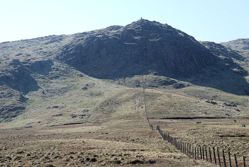 |
| Turning left and following the fence towards Standing Crag, the path veers away from the fence and climbs alongside the crag by the obvious break in the rock wall on the left |
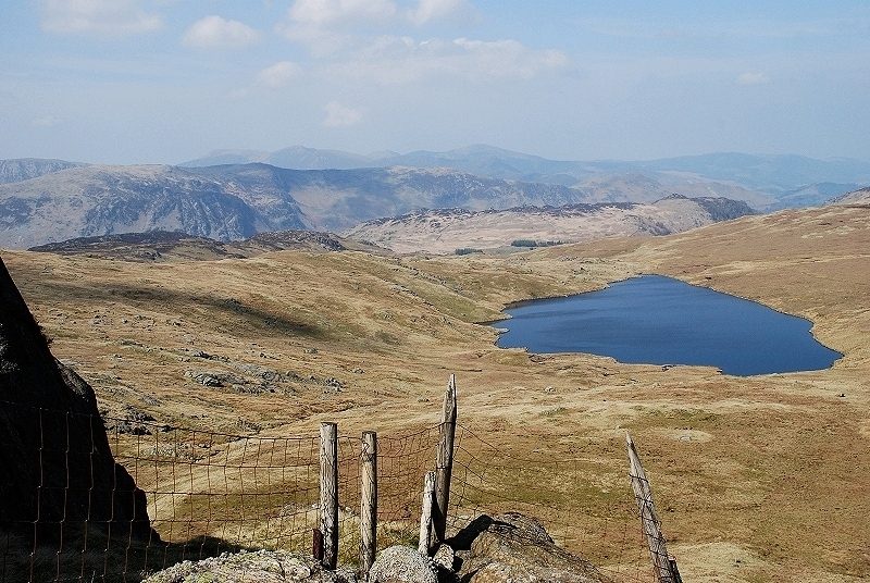 |
| Looking back to Blea Tarn from the climb to Standing Crag |
 |
| On the top of Standing Crag, which is a marvellous viewpoint, looking east to Helvellyn |
 |
| To the west Great Gable summit makes an appearance in the dip between High Saddle and Low Saddle on the |
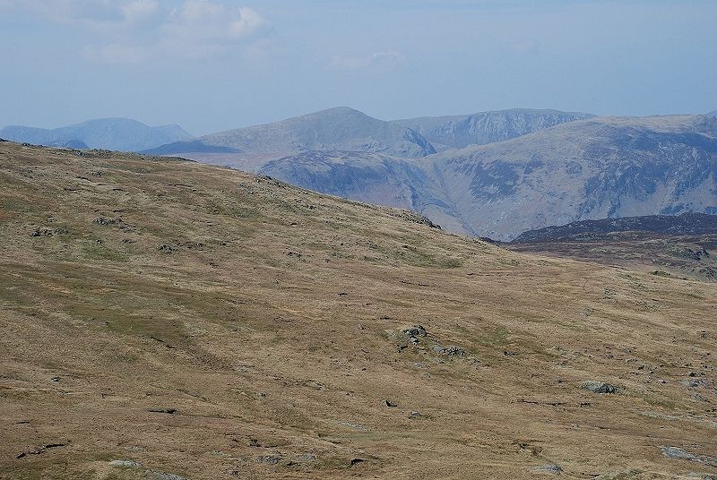 |
| Looking over Coldbarrow Fell from the summit of Standing Crag towards, from the left, High Crag, High Stile and Red Pike. Dale Head is the dome shaped peak on the centre skyline with Hindscarth behind it. High Scawdel and High Spy form a wall in front of them |
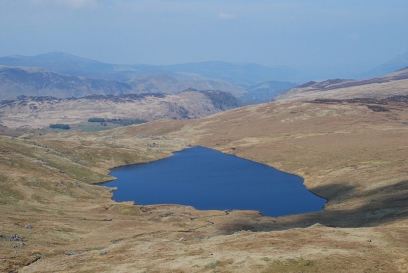 |
| Looking down from the edge of the crag to Blea Tarn |
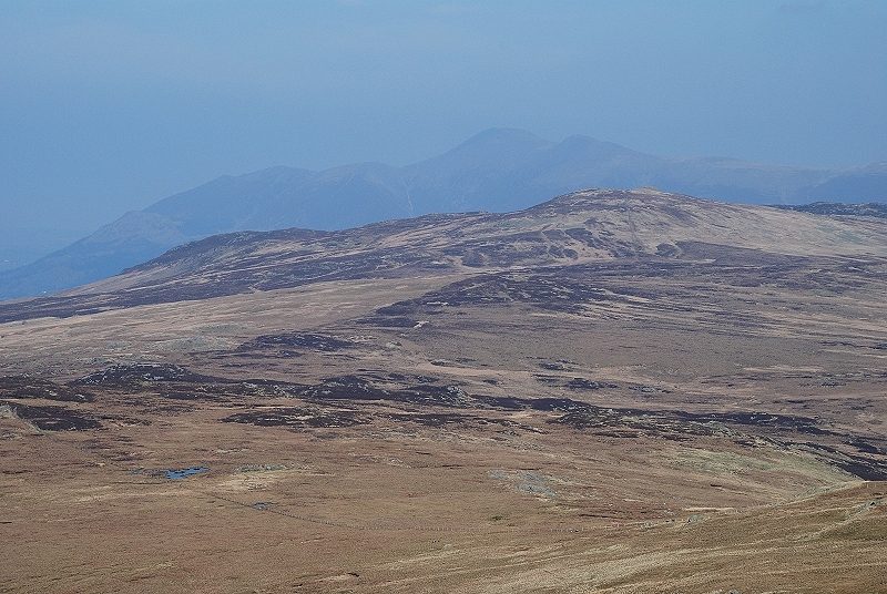 |
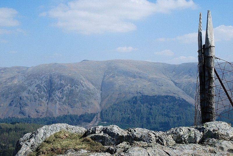
| The hazy outline of Skiddaw over the summit of High Seat from Standing Crag |
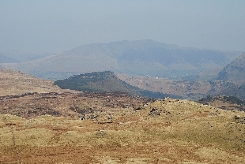 |
| Blencathra beyond the forested top of Raven Crag |
 |
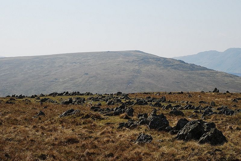
| Looking down from Standing Crag on the route of ascent from the edge of the forest line |
 |
| The line of rocks in the centre foreground is the top of Tarn Crags, viewed earlier in the walk from Harrop Tarn. Nethermost Pike, Dollywaggon Pike, |
 |
| The way ahead from Standing Crag, a curving ascent of the north east ridge towards the high point on the right |
 |
| It is just a matter of following the fence, here looking back along its line to the top of Standing Crag |
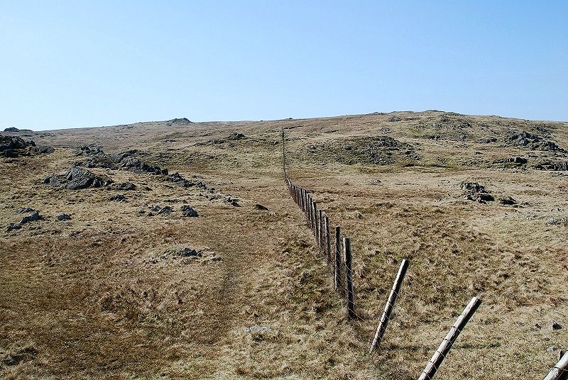 |
| And from the same point looking up towards the summit ridge. If it were not for this fence navigation in mist would be quite difficult on these otherwise featureless slopes |
 |
| Higher still on the ascent looking back to Helvellyn |
 |
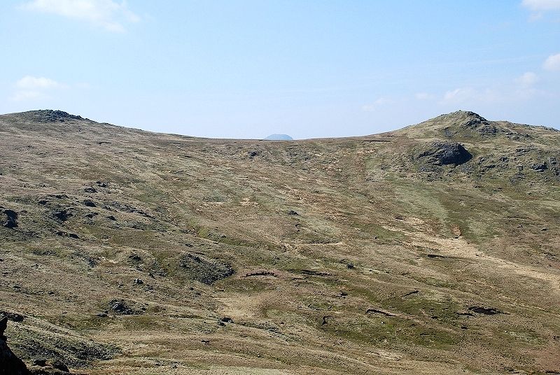
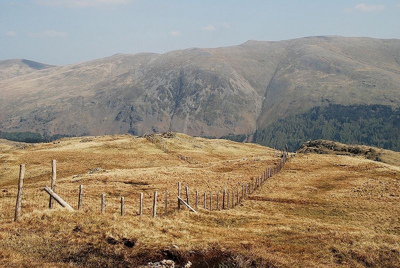
| This is an important landmark, the fence makes a sharp turn and begins to descend west just as it reaches the summit ridge. A line of old iron fence posts seen here on the left continue to the summit of Ullscarf which is now only five minutes of level walking away |
 |
| On reaching the fence corner the view opens out to the west. The highest fells on the skyline are Great Gable on the left and Pillar on the right |
 |
| The High Stile ridge with Honister Crag in front of it |
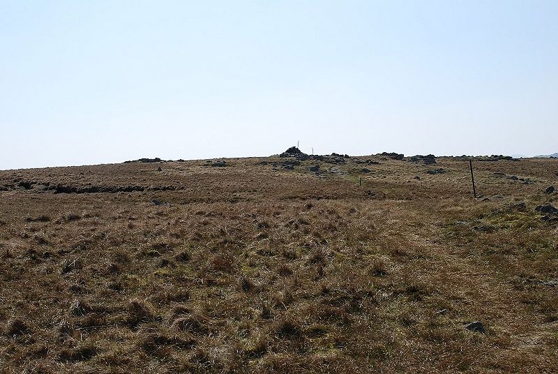 |
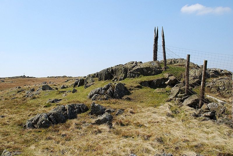
| The old fence posts are a sure guide to the summit cairn |
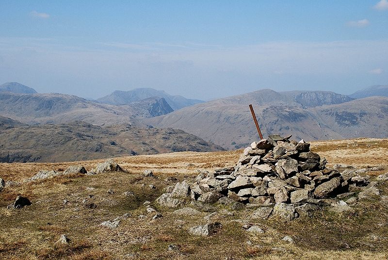 |
| The view to the west from the summit. On the skyline from the left, Pillar, Grey Knotts, High Stile, Dale Head, Hindscarth and Grasmoor |
 |
| Helvellyn to the north east |
 |
| Eastwards, Dollywaggon Pike and |
 |
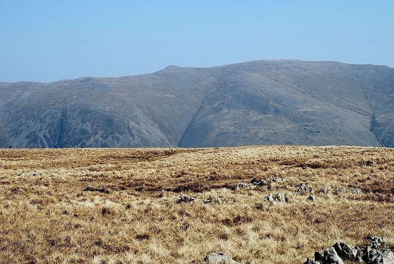
| Ullscarf has a claim to be the most central fell in the |
 |
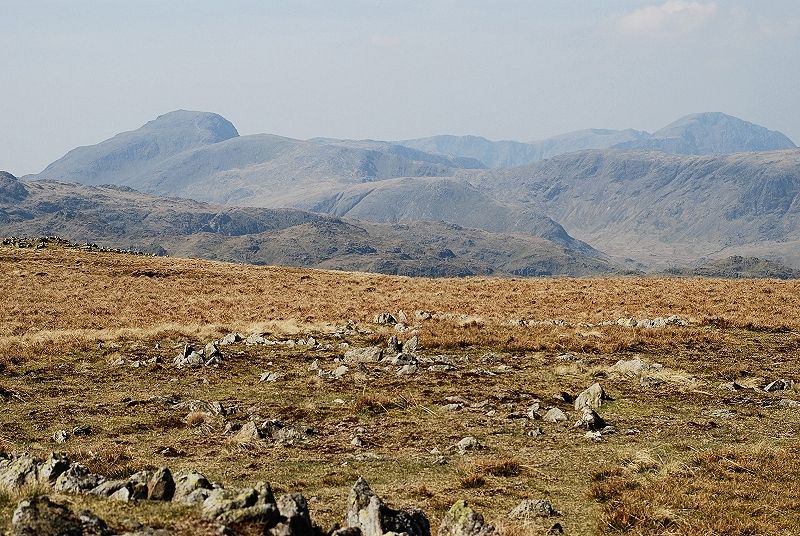
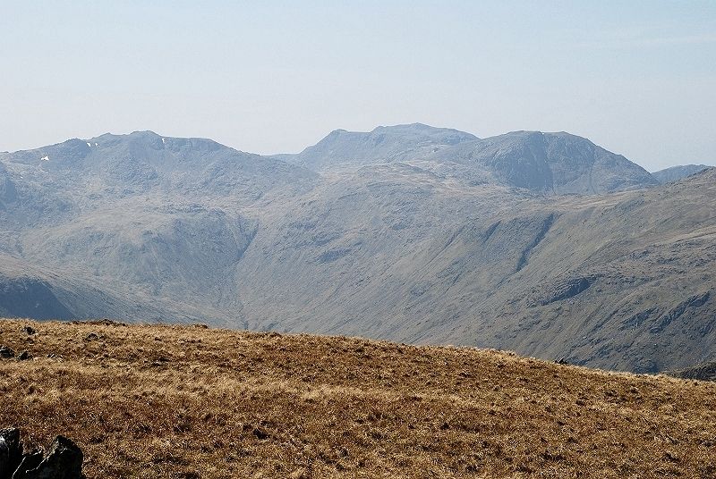
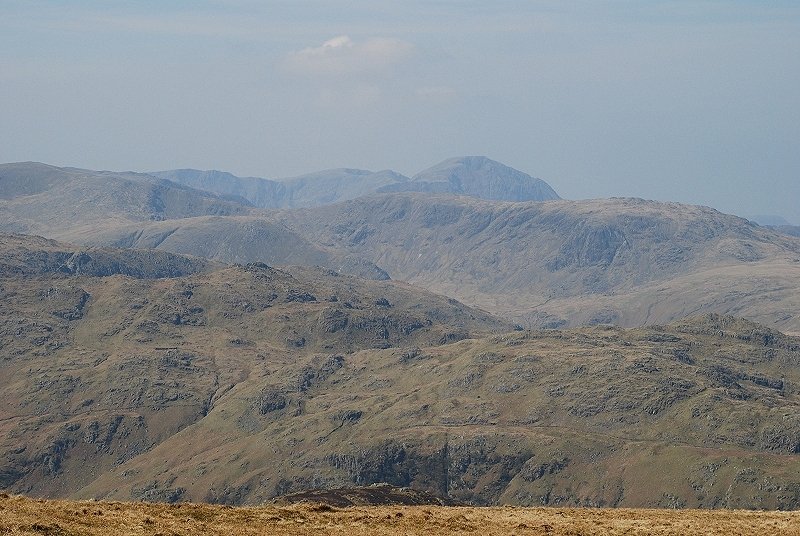
| Crinkle Crags and Bowfell to the south west |
 |
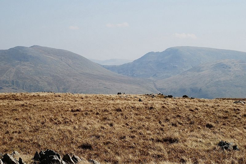
| Further to the west, over the head of Langstrath, Esk Pike with |
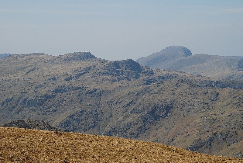 |
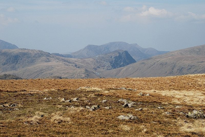
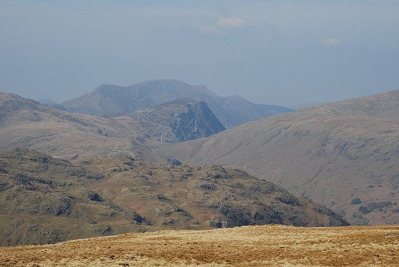
| Across Langstrath, Glaramara with Great Gable and Green Gable |
 |
| On the skyline from the left, Green Gable, Red Pike Scoat Fell and Pillar. Brandreth and Grey Knotts form the ridge in front of Pillar |
 |
| Over the slopes of Rosthwaite Fell in the foreground, Honister Crag backed by High Crag, High Stile and Red Pike |
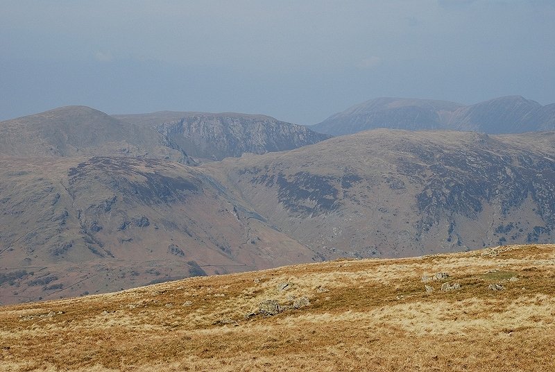 |
| And finally Dale Head, Robinson and Hindscarth. To the right of Hindscarth is Grasmoor and Eel Crag with High Spy below them in middle distance |
|