 |
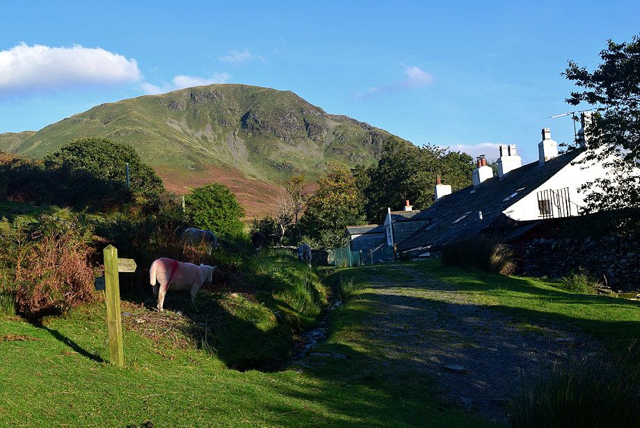
| Almost opposite the NT car park a signpost indicating the start of a path which passes behind Crag Houses cottages to enter the valley of Sail Beck |
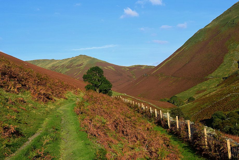 |
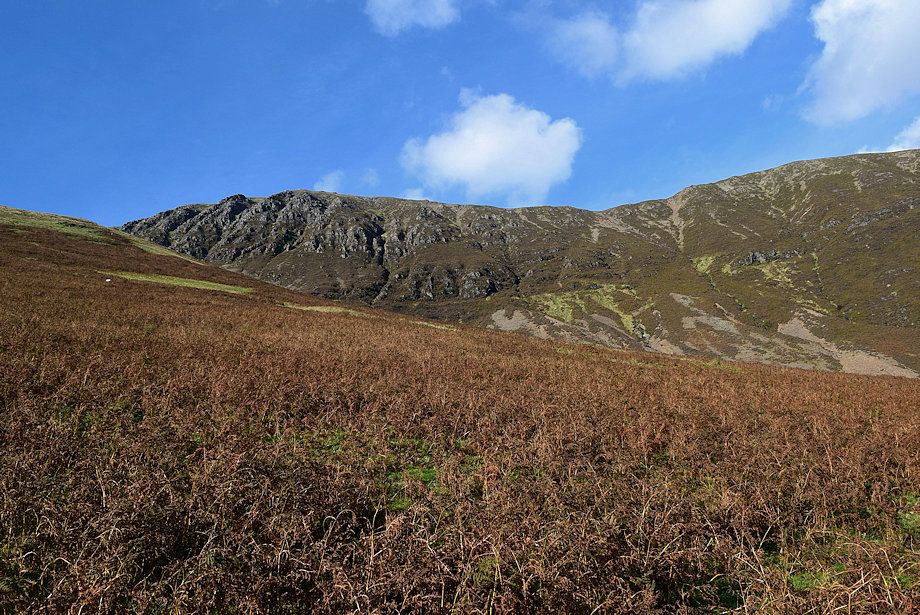
| Knott Rigg from the Sail Beck path |
 |
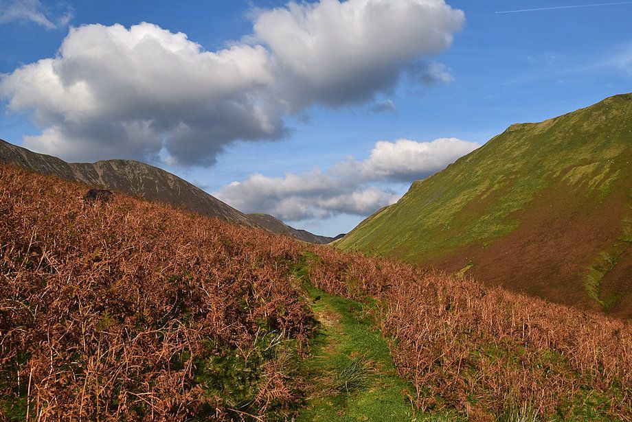
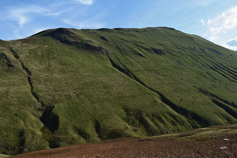
| One mile from Crag Houses the path divides. Follow the left branch which climbs across the eastern slopes of Whiteless Breast |
 |
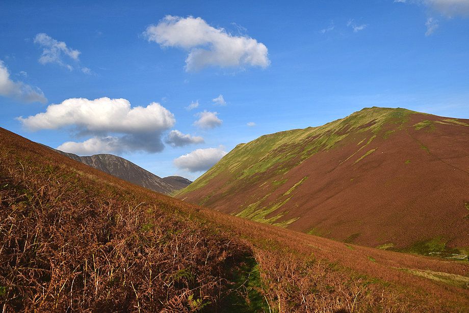
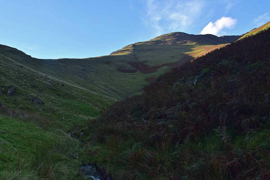
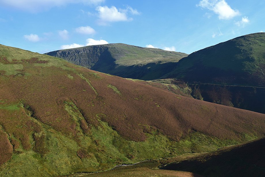
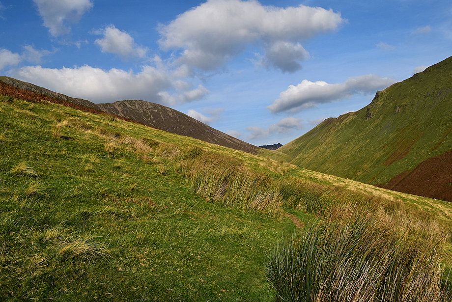
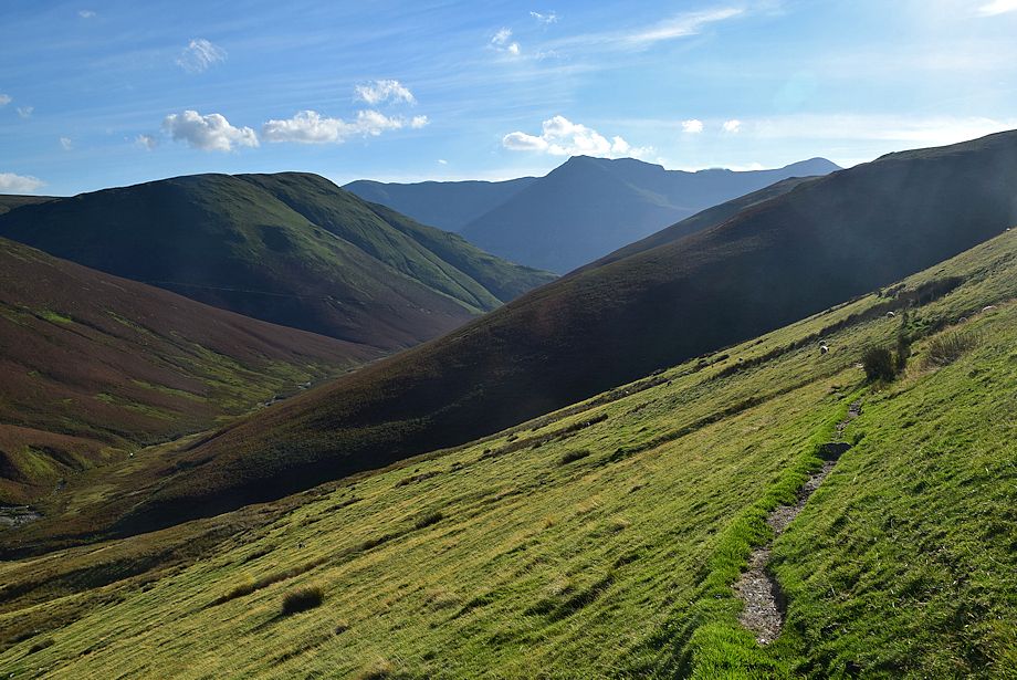
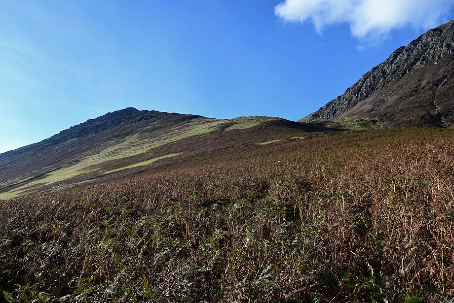
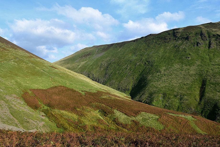
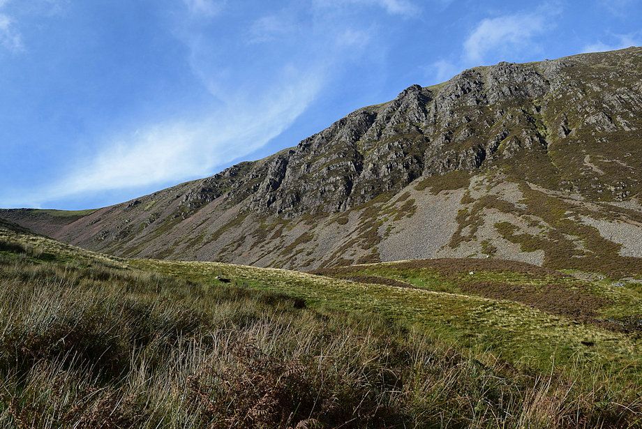
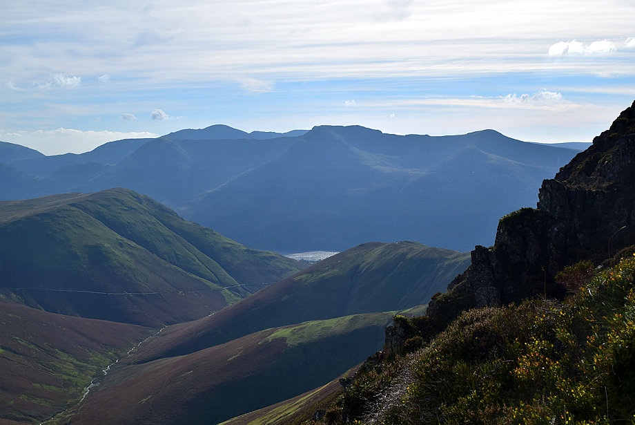
| Looking across Sail Beck towards Newlands Hause |
 |
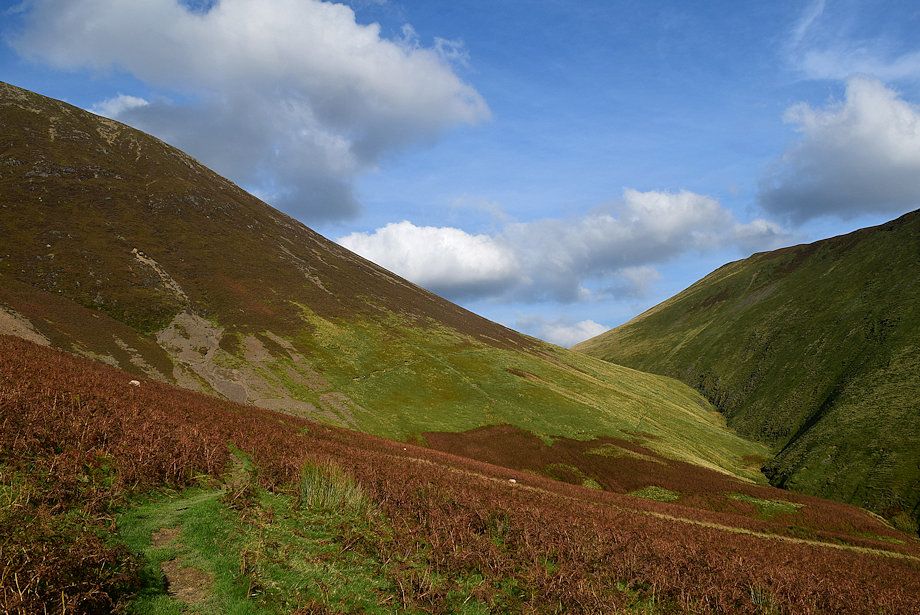
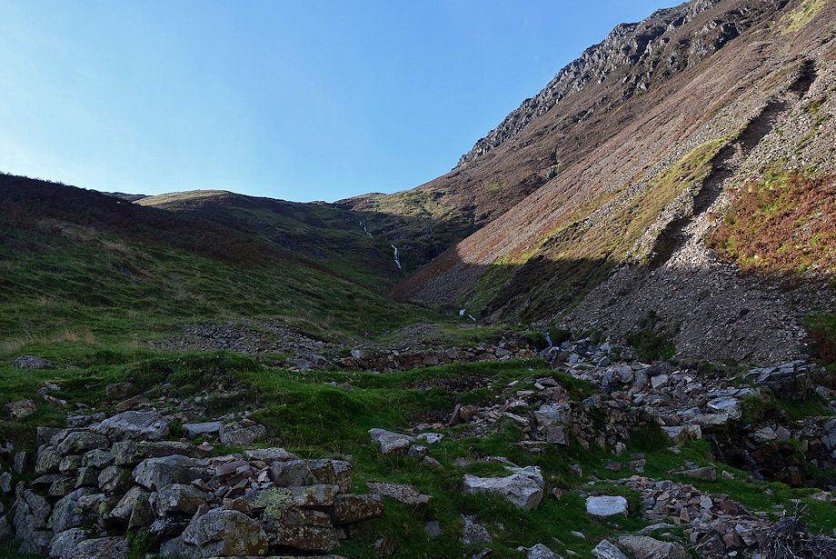
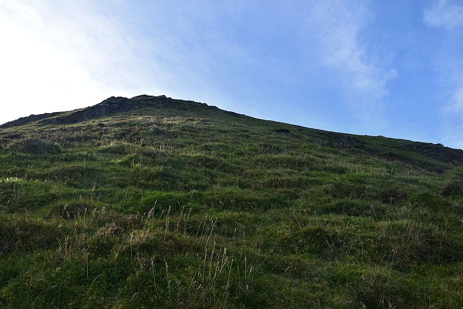
| Sail and Scar Crags come into view at the head of the valley |
 |
| Looking over towards Robinson Crags above Newlands Hause |
 |
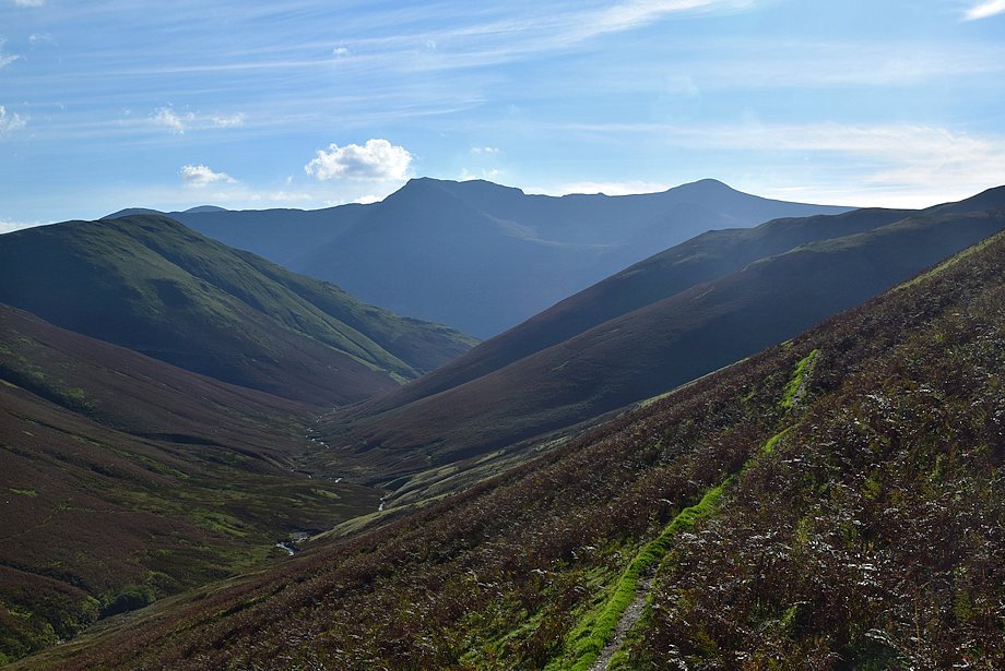
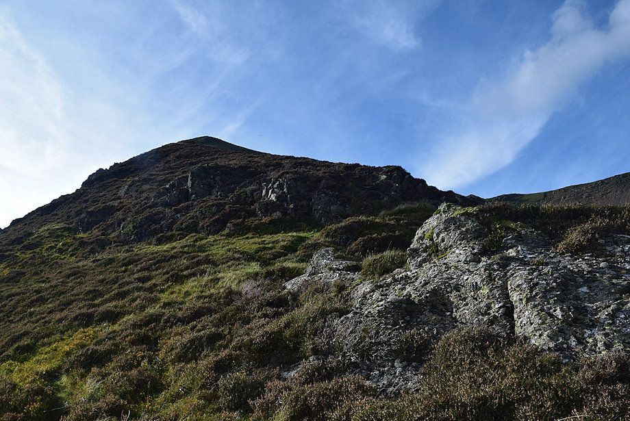
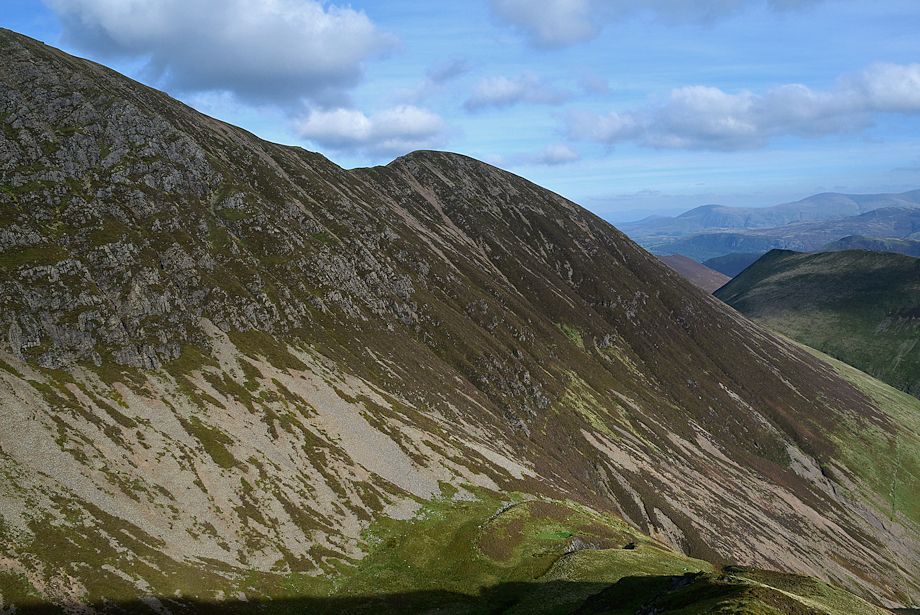
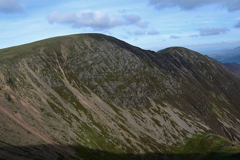
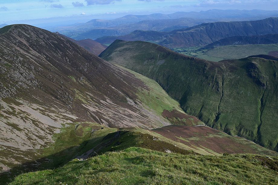
| Wandope, Eel Crag, Sail and Scar Crags from Whiteless Breast |
 |
| The path turns into a nameless re-entrant gill |
 |
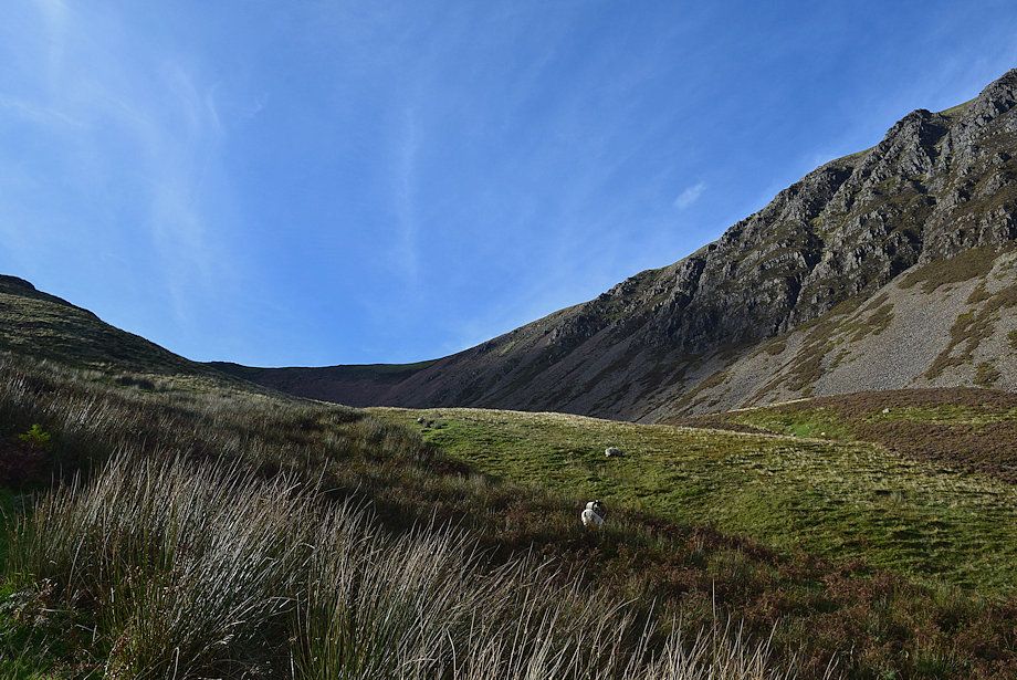
| The gill is only followed for about 200 yards to a point where the path crosses the stream and switches back to climb out of the gill via the steep southern slope of Bleak Rigg .......... |
 |
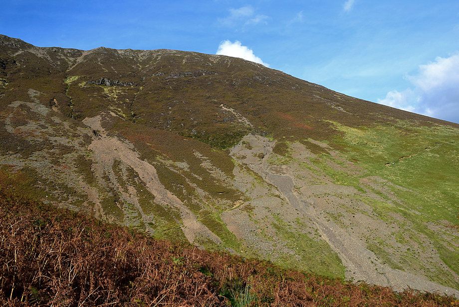
| .......... and continues across the eastern slopes of Bleak Rigg |
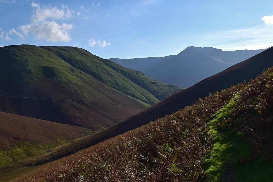 |
| Looking back from Bleak Rigg to High Snockrigg, High Crag and High Stile |
 |
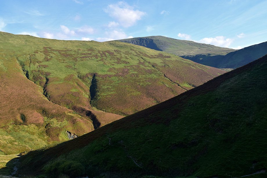
| The path gradually descends as it nears the re-entrant valley of Third Gill |
 |
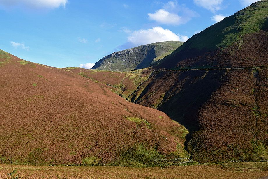
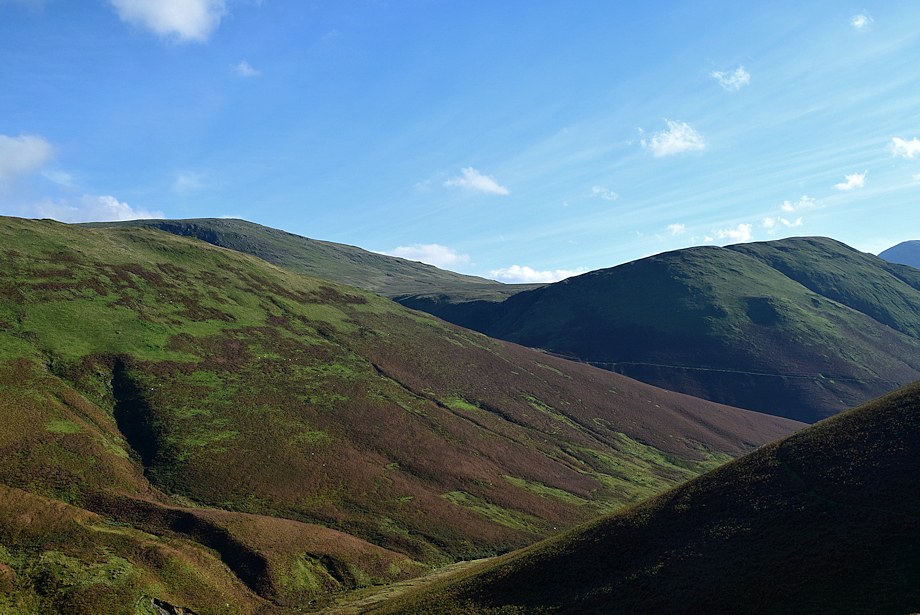
| Looking over to Robinson from Bleak Rigg |
 |
| The path descending into Third Gill. Its continuation can be seen in the centre of the photo rising out of the gill to cross the south-eastern slope of Wandope |
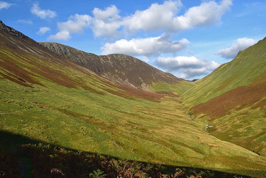 |
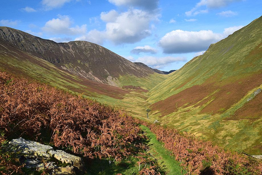
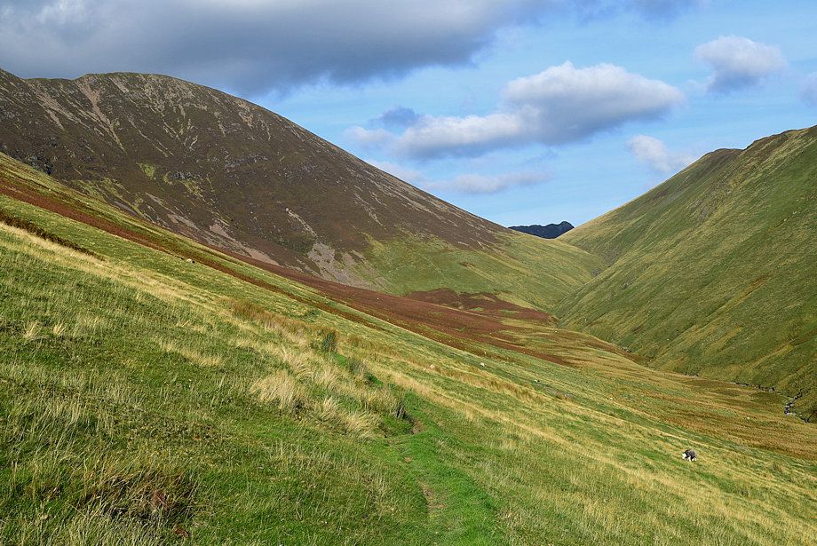
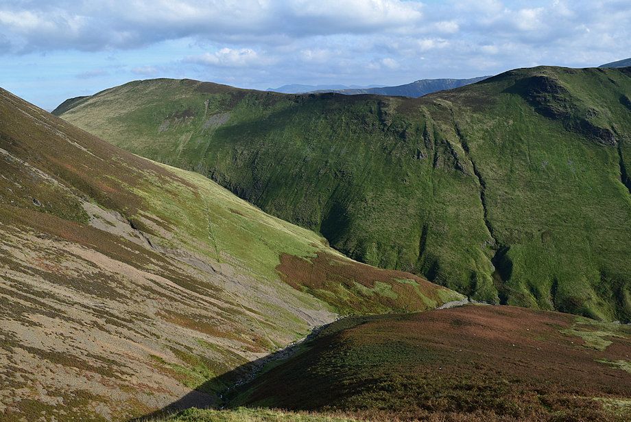
| The head of Sail Beck |
 |
| The bed of Third Gill is only followed for about 180 yards before the path crosses the stream and switches back to climb out of the gill |
 |
| Robinson over Knott Rigg from the path climbing out of Third Gill |
 |
| The path continues making a rising traverse across Wandope's south eastern slope |
 |
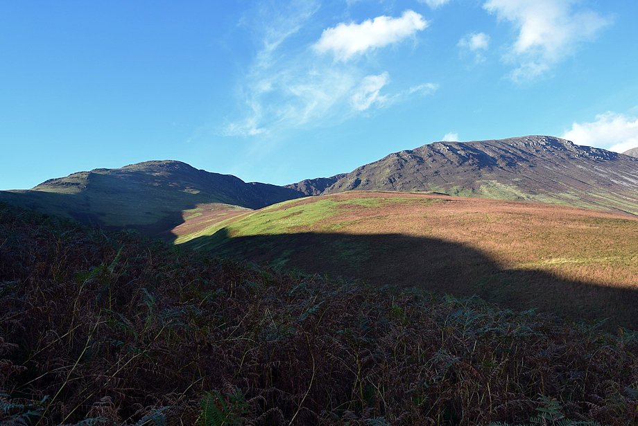
| Looking back towards Robinson and High Snockrigg |
 |
| The distinctive summit of Causey Pike appears over the head of valley |
 |
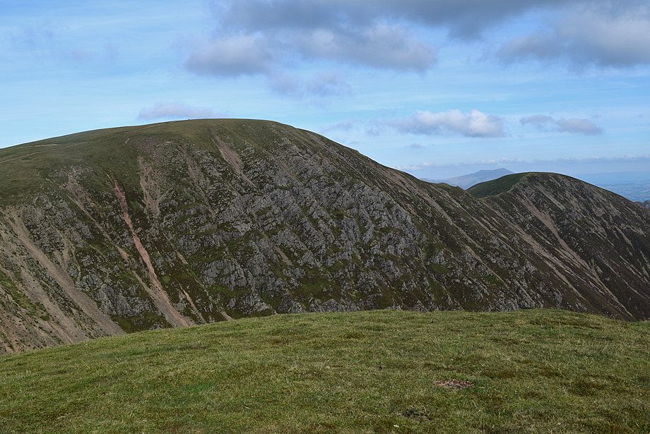
| Wandope's Addacomb Ridge |
 |
| Looking back to High Crag, High Stile and Red Pike from south eastern slope of Wandope |
 |
| Sail and the head of Sail Beck |
 |
| Scar Crag from the south eastern slope of Wandope |
 |
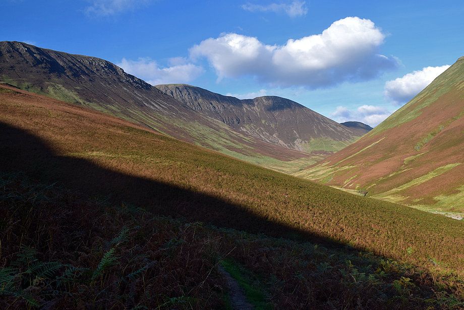
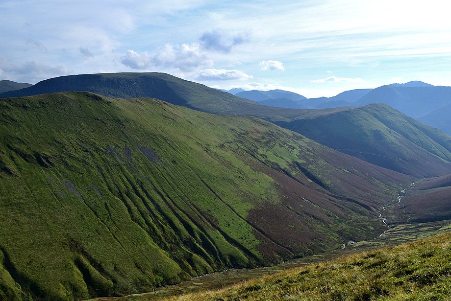
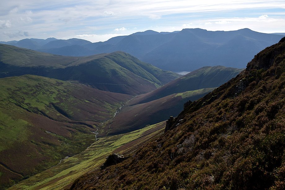
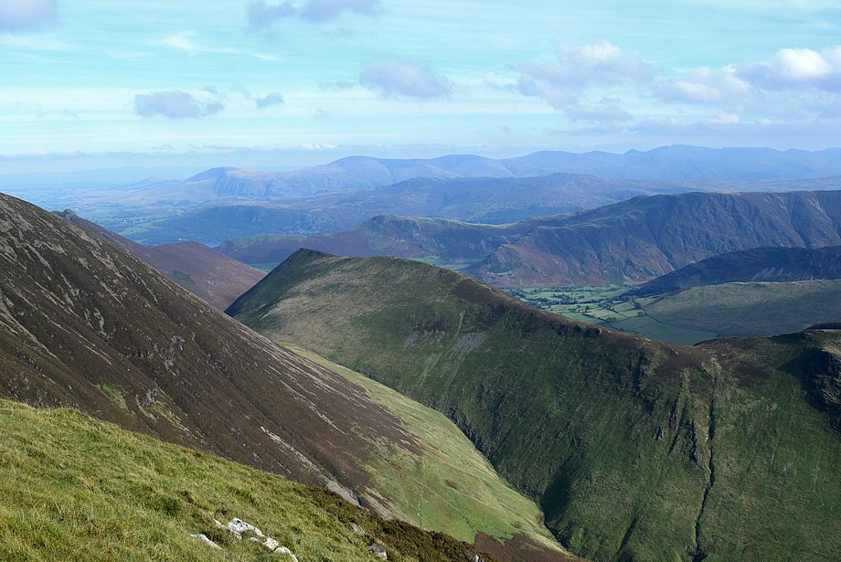
| Looking back along the Sail Beck Valley |
 |
| Traversing below Addacomb Ridge |
 |
| Approaching Addacomb Beck |
 |
| Scar Crag and The Scar across the lower slopes of Addacomb Ridge |
 |
| Knott Rigg across Sail Beck |
 |
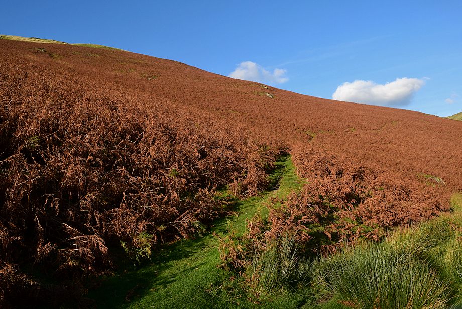
| The lower part of the ridge is covered with bracken with no trace of a regular path. Sheep trods between thin grassy strips can be useful if starting the ascent from here. Otherwise continue on to Addacomb Beck which has a slightly steeper start through the bracken |
 |
| Addacomb Beck issuing from Addacomb Hole |
 |
| Ard Crags from the start of the ascent of Addacomb Ridge |
 |
| Sail from the lower part of Addacomb Ridge |
 |
| Looking back along the bracken covered lower part of the ridge |
 |
| A clear path develops along the ridge once the bracken has been left behind |
 |
| Passing the lip of Addacomb Hole |
 |
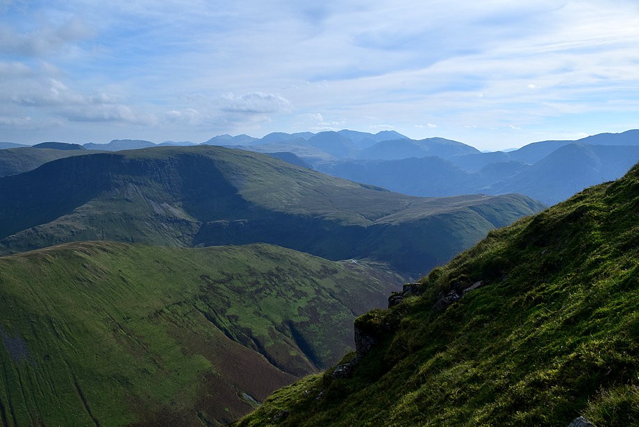
| Looking south, Hindscarth and Robinson above Knott Rigg with Scafell, Kirk Fell, High Crag and Pillar forming the far horizon |
 |
| The Helvellyn range appears in the distance over the ridges of Ard Crags and Maiden Moor |
 |
| Scar Crag above the lip of Addacomb Hole |
 |
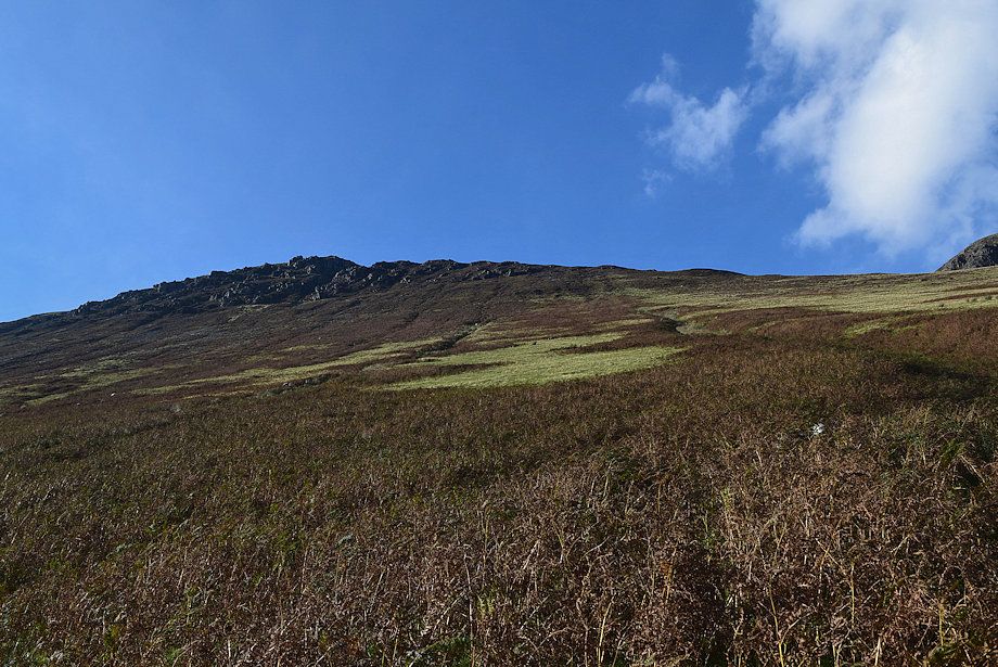
| Rock outcrops on the steepest part of the ridge. The path avoids them all |
 |
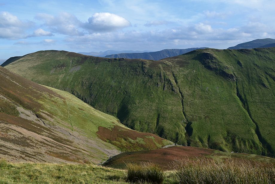
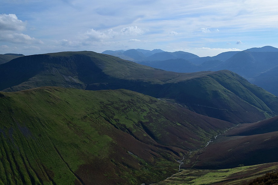
| The Sail Beck Valley from Addacomb Ridge |
 |
| Midway point on the ridge |
 |
| The Scafell group of fells now visible on the centre horizon |
 |
| The narrowest part of the ridge |
 |
| The High Stile range above Buttermere from Addacombe Ridge |
 |
| Sail across Addacomb Hole |
 |
| The upper part of the ridge |
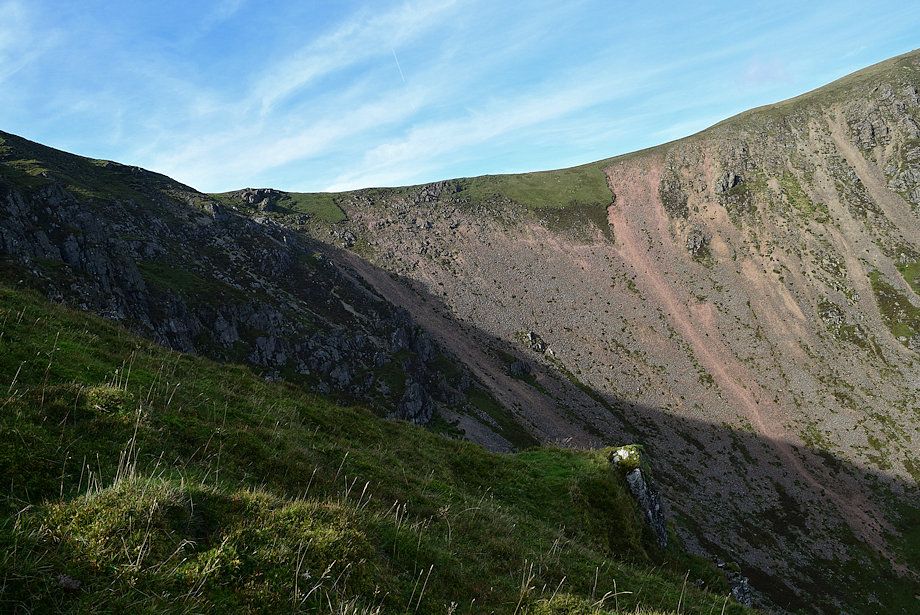 |
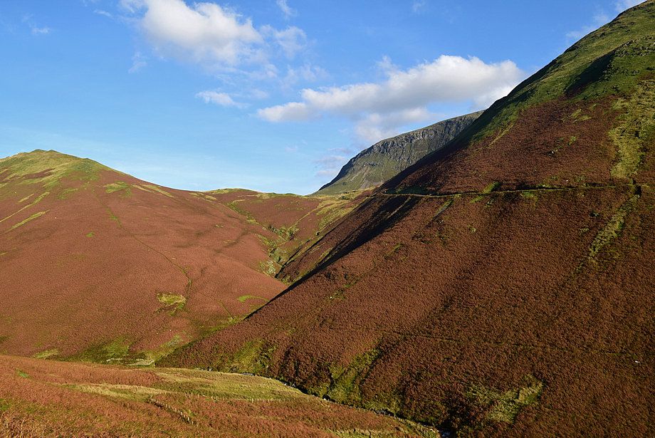
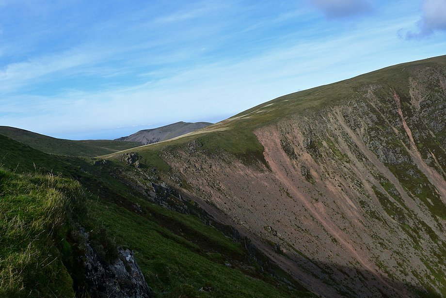
| The headwall of Addacomb Hole |
 |
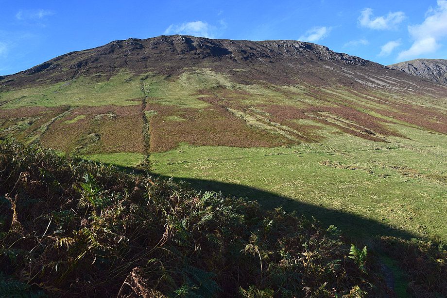
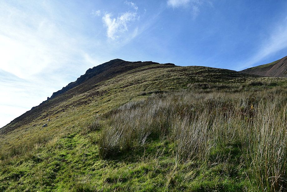
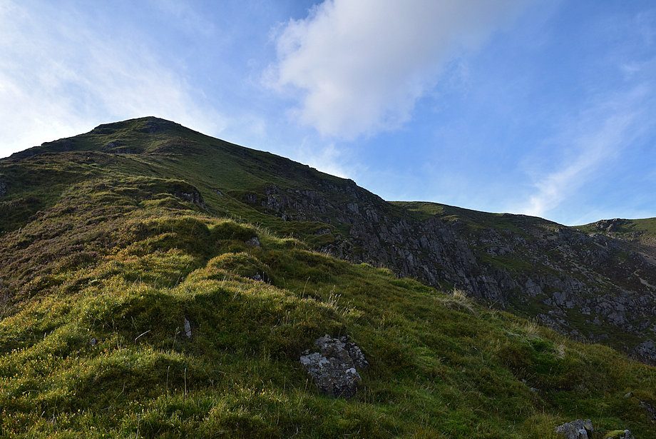
| Approaching the summit of Wandope |
 |
| The Scafell group of fells from near the top of Addacomb Ridge |
 |
| Eel Crag and Sail across Addacomb Hole |
 |
| Hopegill Head and Sand Hill appear over the headwall of Addacomb Hole |
 |
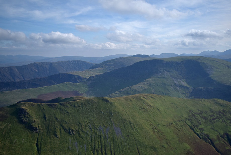
| Looking back along the route of ascent from near the top of Addacomb Ridge |
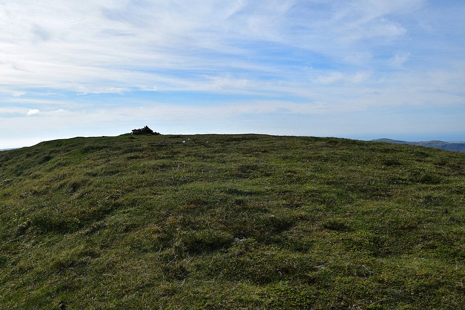 |
| The summit cairn comes into view |
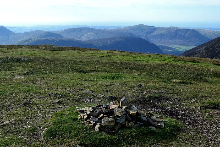 |
| The summit cairn on Wandope |
 |
| The view looking south east over Knott Rigg |
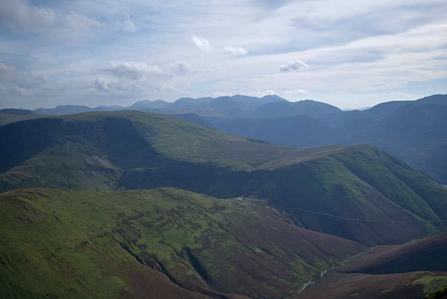 |
| Looking south over Robinson and High Snockrigg, Dale Head, Harrison Stickle, Glaramara, Wetherlam, Bowfell, Esk Pike, Great End, Ill Crag, Great Gable, Scafell, Scafell Pike, Kirk Fell and Pillar form the horizon |
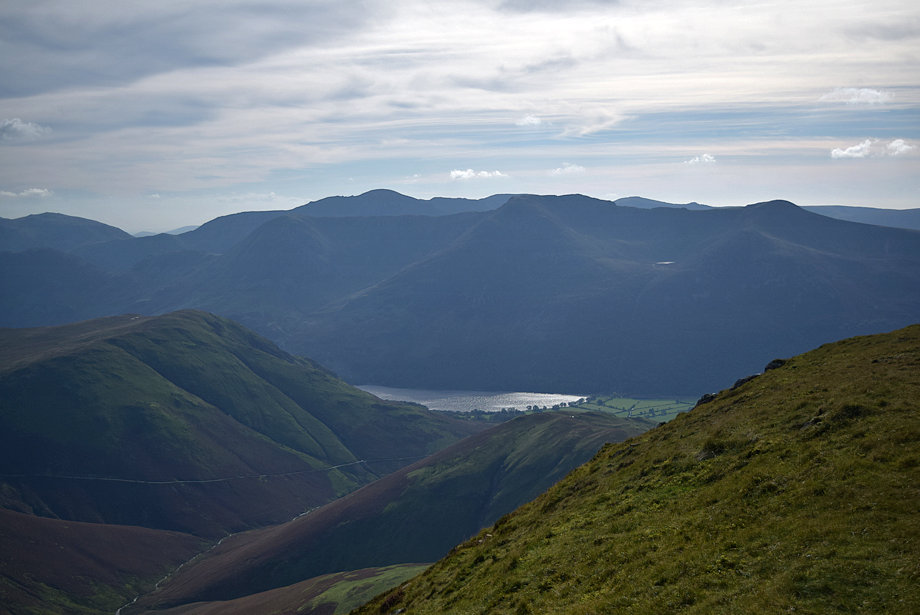 |
| Buttermere from the summit of Wandope |
 |
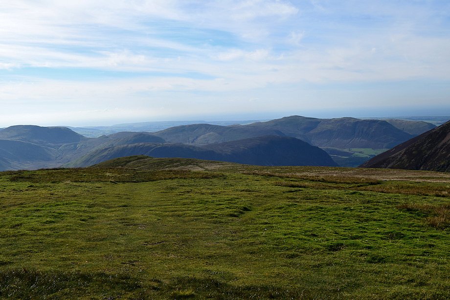
| Starling Dodd, Lank Rigg, Crag Fell and Great Borne from the summit of Wandope |
 |
| Great Borne, Hen Comb, Gavel Fell, Blake Fell and Burnbank Fell over the summit ridge of Mellbreak |
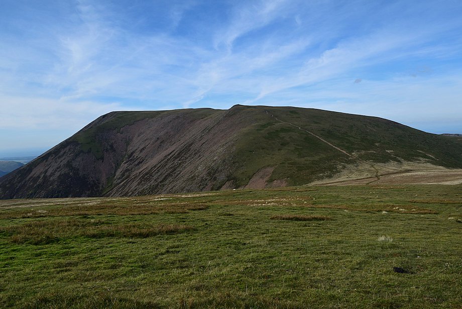 |
| Grasmoor from the summit of Wandope |
 |
| Hopegill Head and Sand Hill between the slopes of Grasmoor and Eel Crag |
 |
| Eel Crag and Sail from the summit of Wandope |
 |
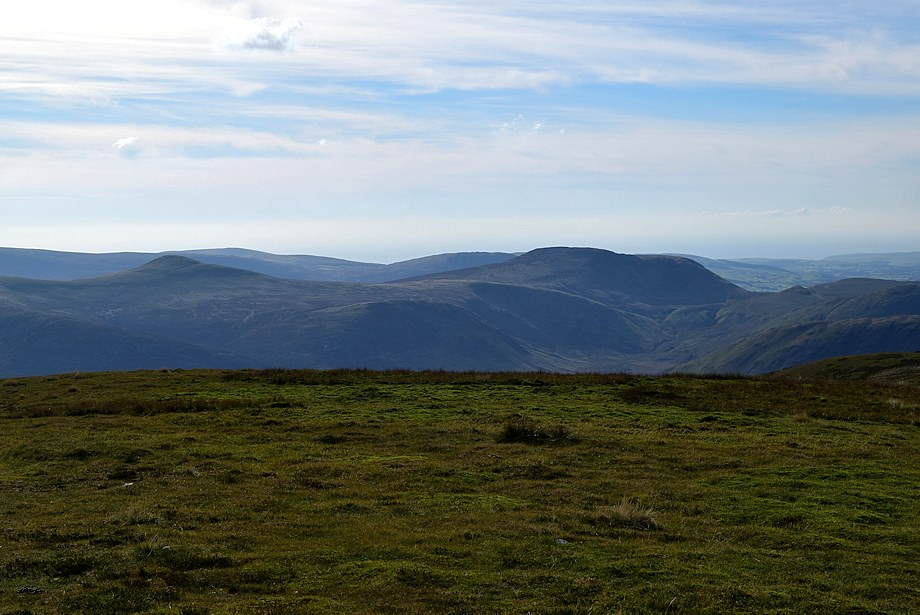
| Looking east over the summit ridge of Ard Crags to the Helvellyn range on the horizon |
