 |
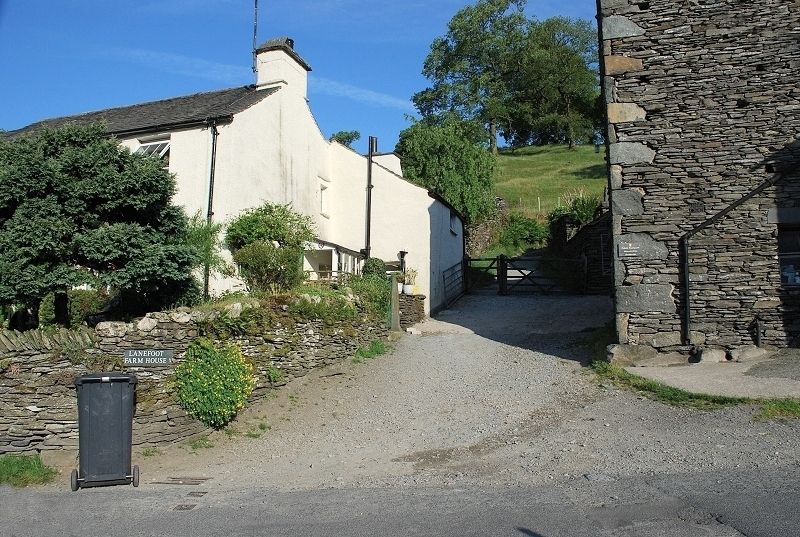
| The start of Nanny Lane in the lovely village of Troutbeck. There is only limited roadside parking in the village, this point can be reached via a footpath from the church on the main road in the valley below. The times and distances are taken from Church Bridge |
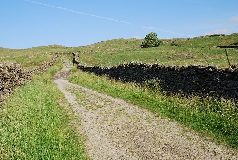 |
| After a steep rise from the village the gradient eases as the lane begins to turn towards the north |
 |
| Running between the intake fields the lane was probably created as a drove way |
 |
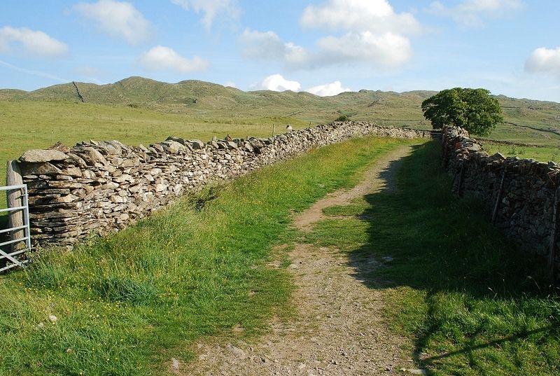
| Higher on the lane as it turns north west with the Wansfell ridge ahead |
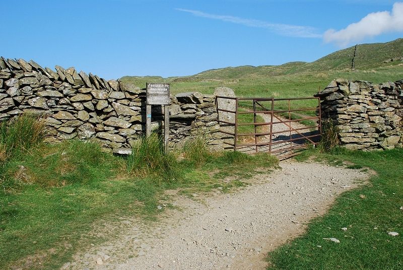 |
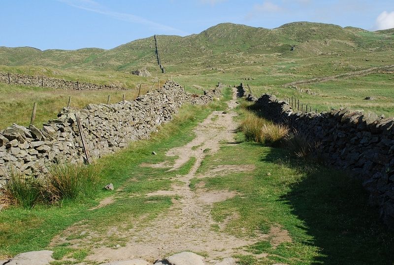
| At the point where the lane again turns to the north a metal gate gives access to a path signposted Ambleside via Wanfsell Pike |
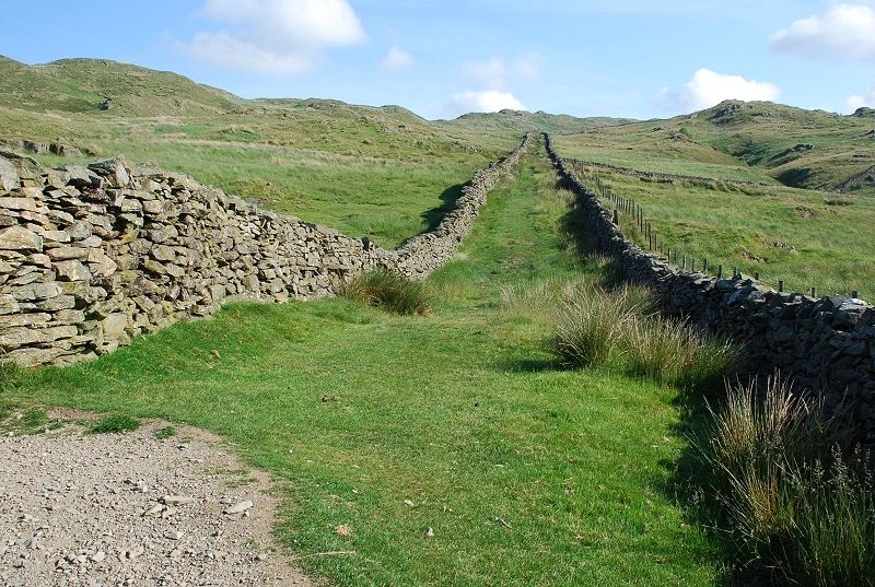 |
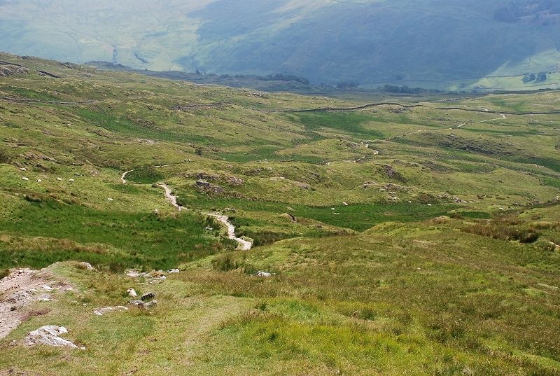
| The lane continues onwards from the metal gate for another third of a mile. This can be used as an alternative and more direct route to the summit of Wansfell |
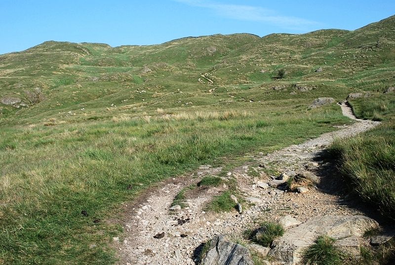 |
| After a few hundred yards the path divides, the left branch taking a more circuitous route to Ambleside whilst the main path carries straight on towards the summit of Wansfell Pike, seen here on the left |
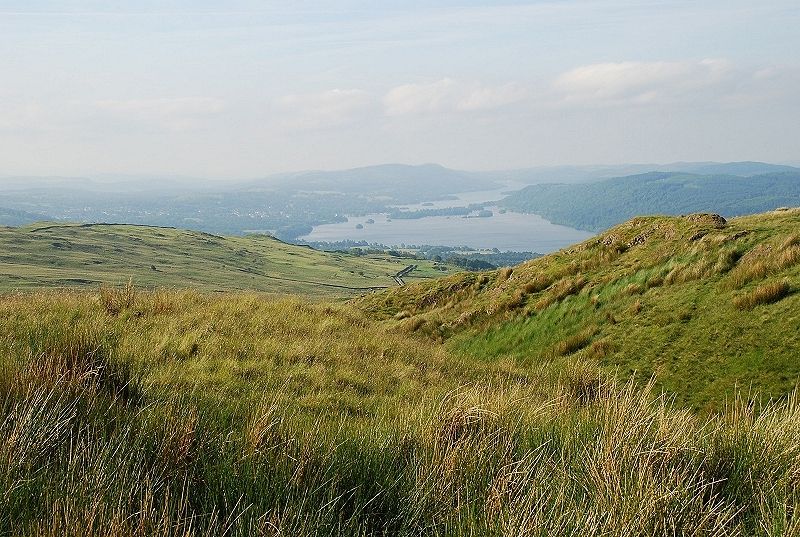 |
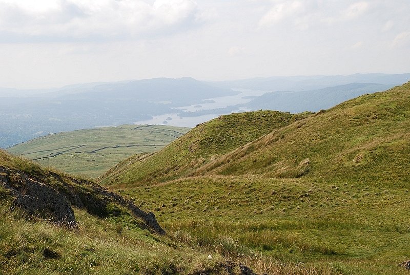
| Looking back toWindermere from the path to Wansfell Pike |
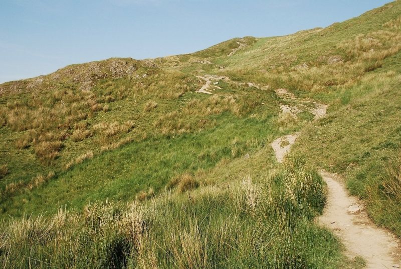 |
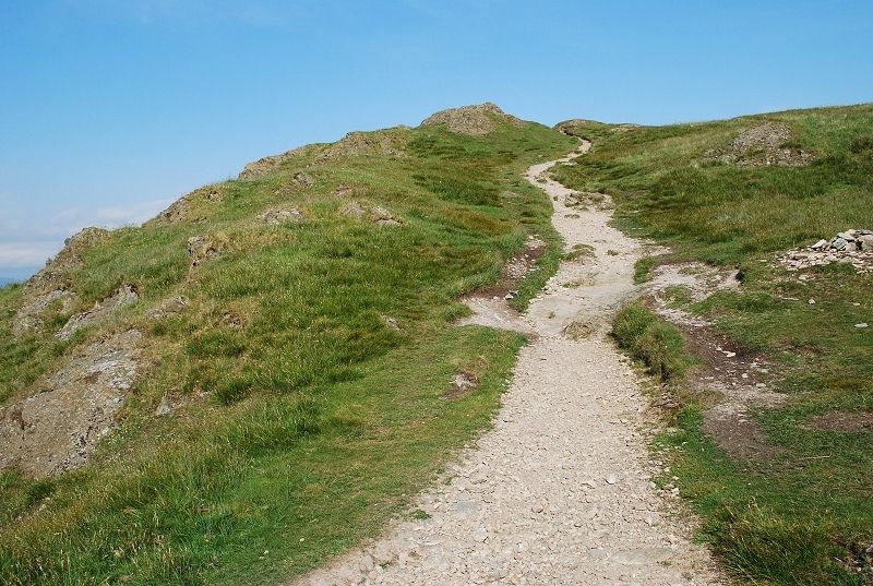
| After a fairly level section the path climbs more steeply towards the ridge |
 |
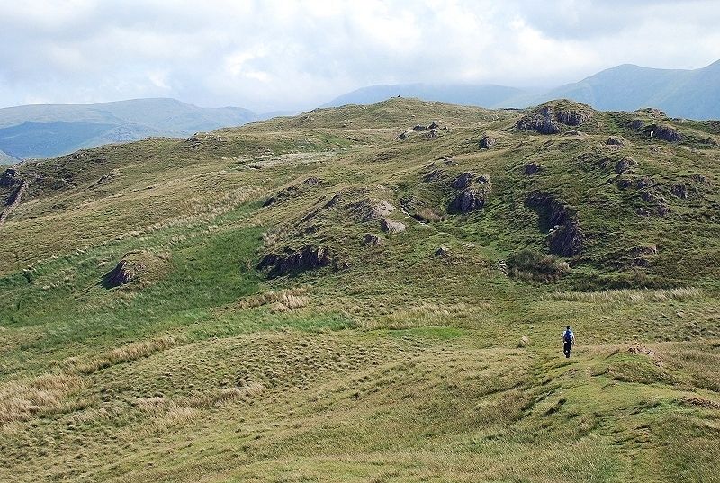
| Higher on the path looking north-east along the summit ridge |
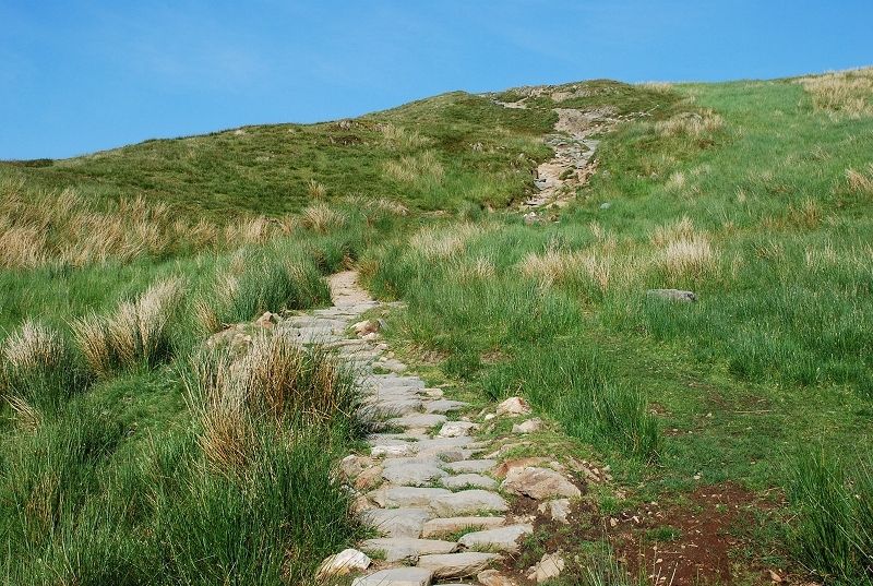 |
| The path has been repaired on some stretches to reduce erosion |
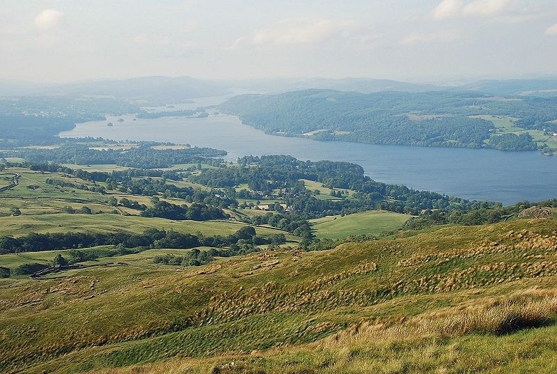 |
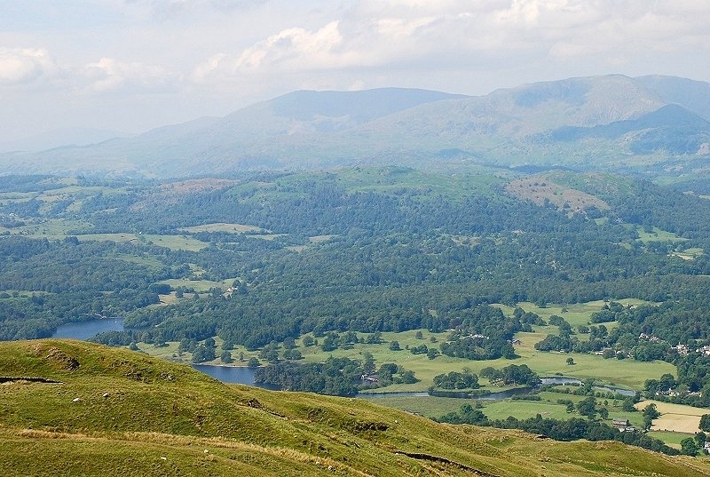
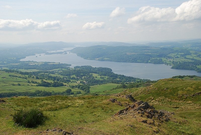
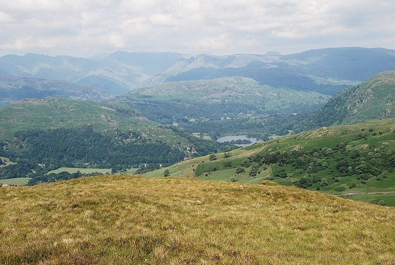
| Looking over to Windermere from near the top of the path |
 |
| Approaching the summit of Wansfell Pike |
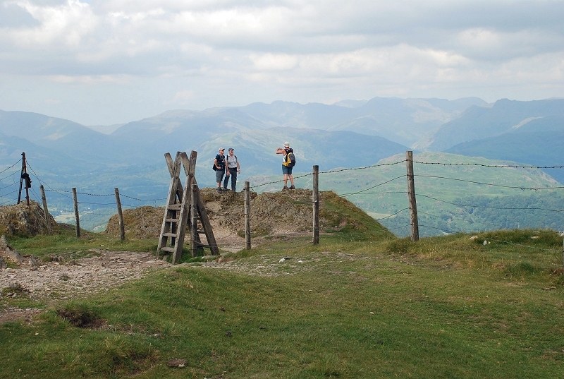 |
| The rocky knoll which most people accept as the summit lies across a fence |
 |
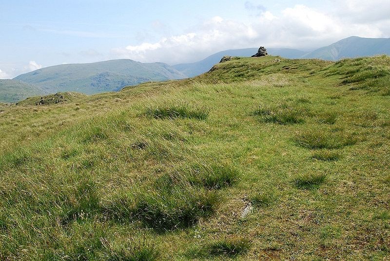
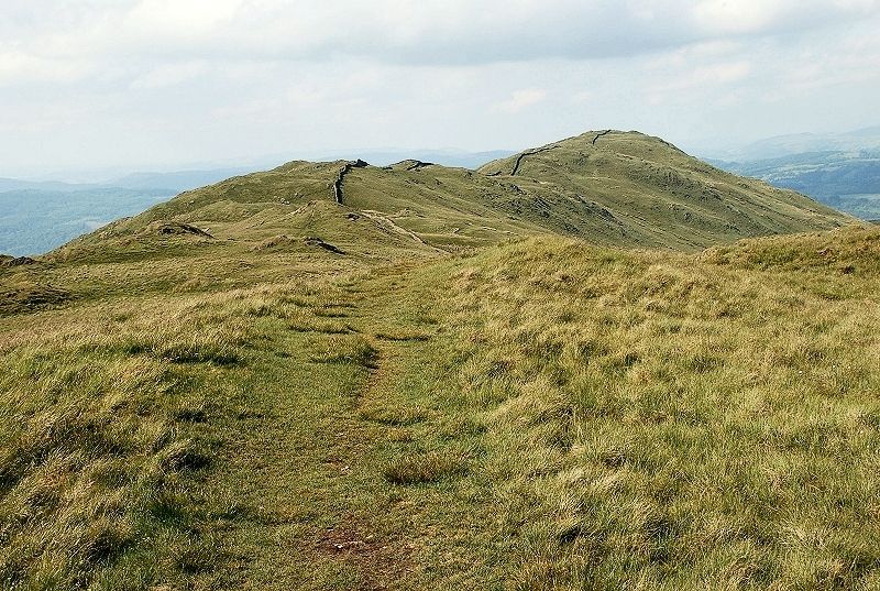
| Looking back from the highest point on the route of ascent |
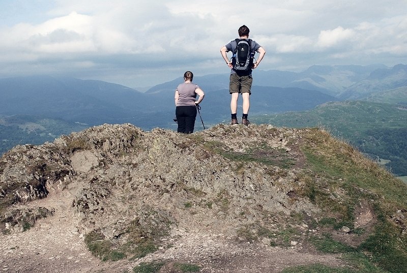 |
| The rocky knoll, so prominent when seen from Ambleside, is the finest viewpoint on the ridge |
 |
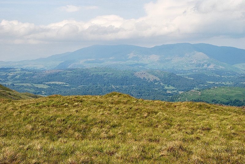
| The Coniston Fells |
 |
| Over Loughrigg Fell to Bowfell, in shade, with Crinkle Crags on the left and the Langdale Pikes to the right |
 |
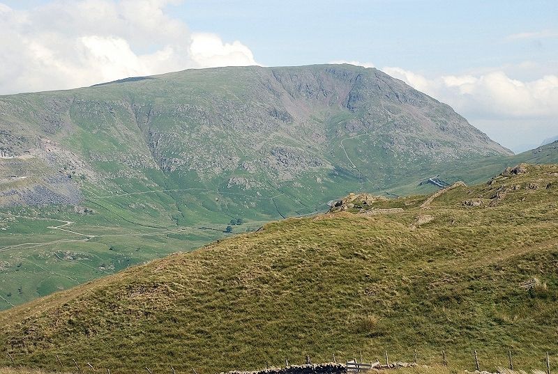
| Dove Crag with the summit of Fairfield covered by cloud |
 |
| Red Screes and the Kirkstone Pass |
 |
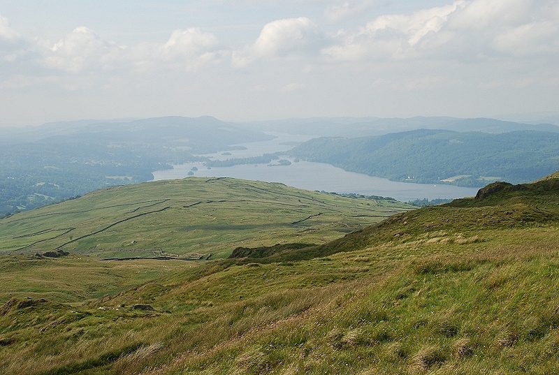
| Windermere |
 |
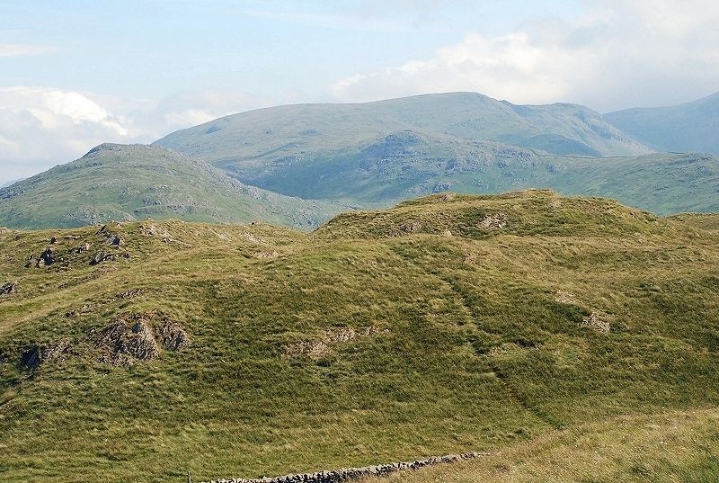
| Most walkers never bother to visit the true summit of Wansfell which lies almost a mile to the north-east along the undulating ridge, that's it below Froswick in the centre of the photo |
 |
| Looking across to Windermere on the walk along the summit ridge |
 |
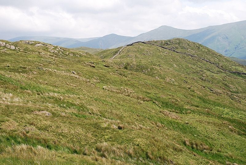
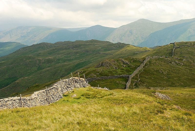
| On the way to the summit looking back along the ridge to Wansfell Pike, the wall is followed until it diverges from the top of the ridge |
 |
| The summit from the same point, the path more or less keeps to the crest of the ridge |
 |
| Again from the same point looking to the Kirkstone Pass |
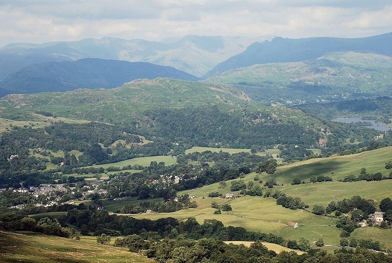 |
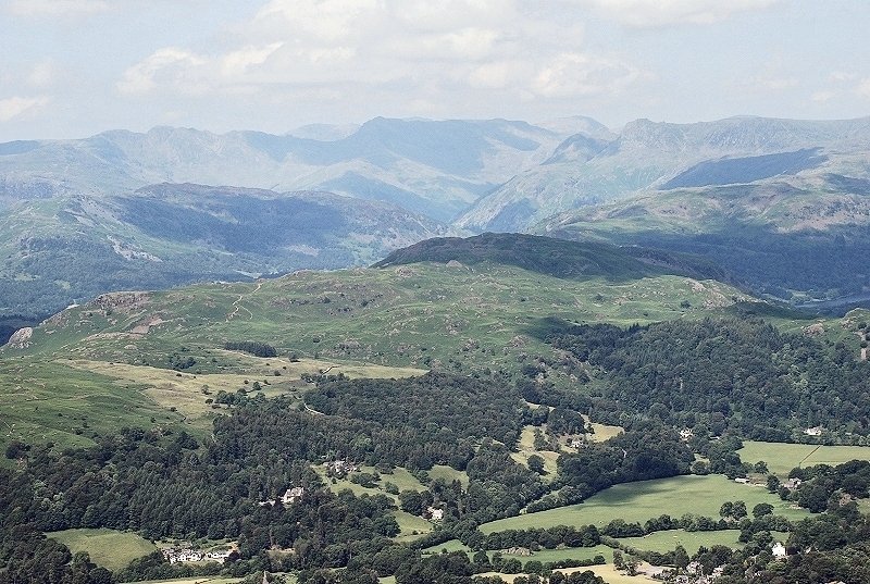
| Ambleside and Rydal Water |
 |
| Approaching the summit |
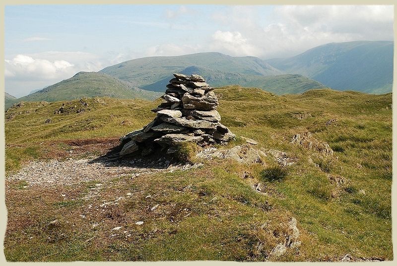 |
| The summit of Wansfell, this area of the fell is named Baystones on OS maps Wansfell - page 6 |
 |
| Windermere from the summit |
 |
| Heron Pike and Great Rigg (just clear of cloud) |
 |
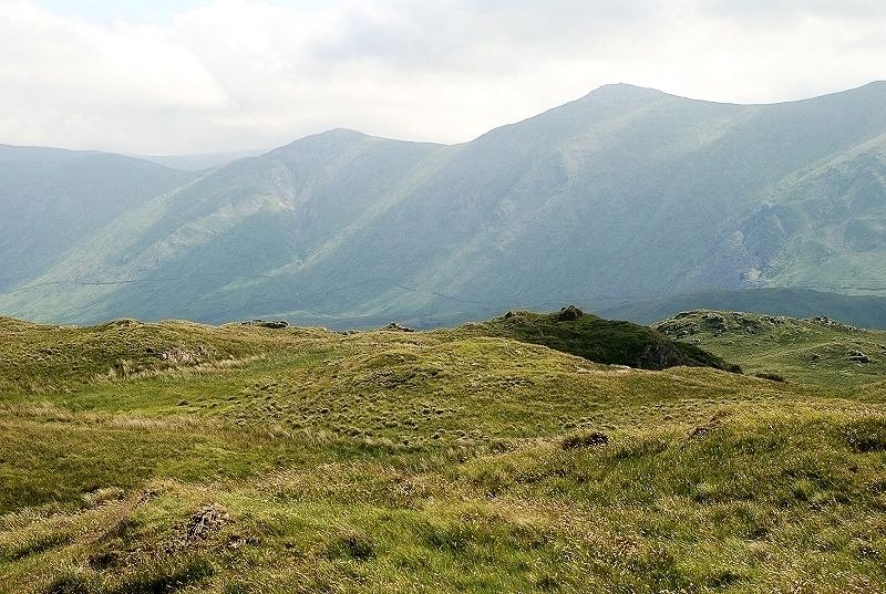
| Red Screes |
 |
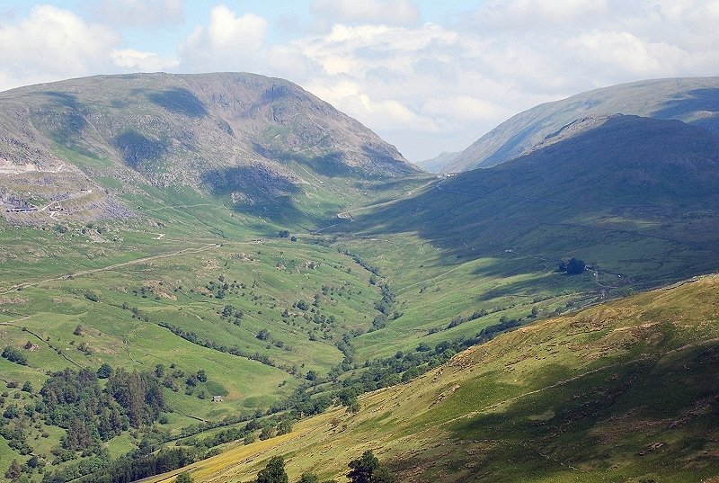
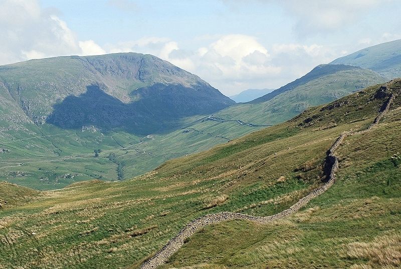
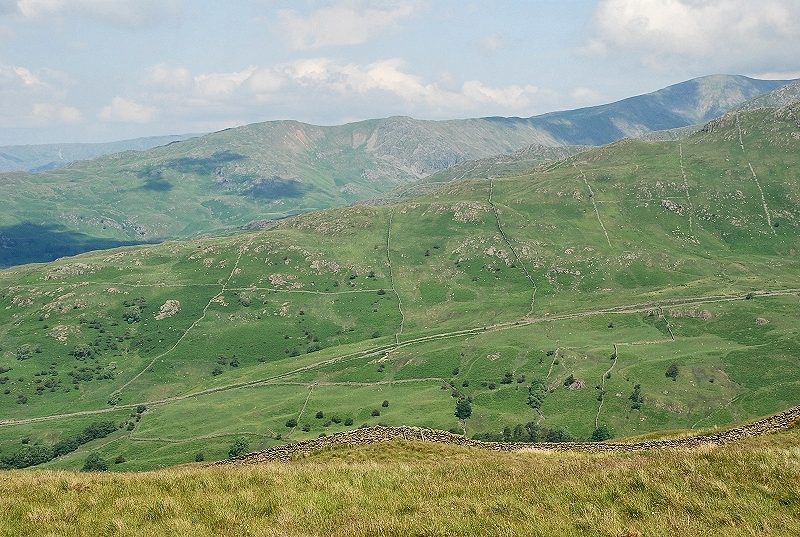
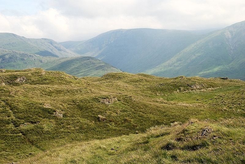
| A path continues on from the summit to meet the Kirkstone Pass road at Woundale Raise below Broad End which leads on to St. Raven's Edge seen here on the left. Caudale Moor is the sprawling fell on the centre skyline |
 |
| Thornthwaite Crag |
 |
| Froswick and Ill Bell |
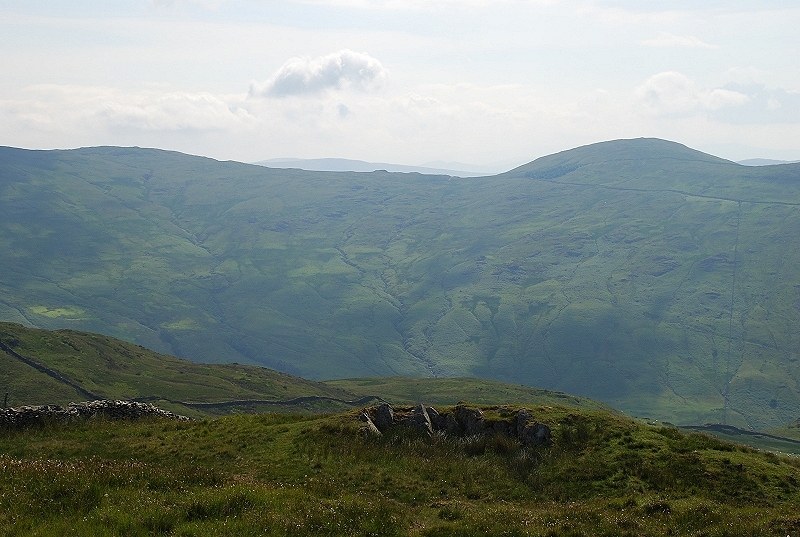 |
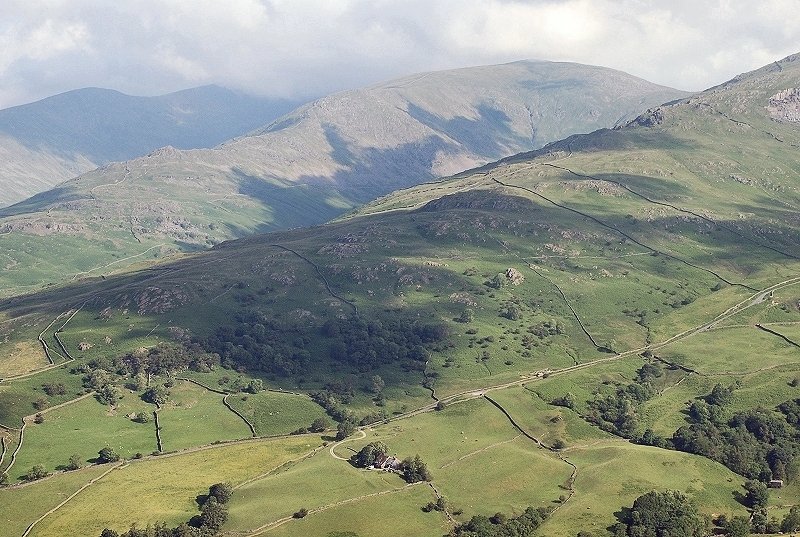
| The Garburn Pass and Sallows |
 |
| Rydal Water |
 |
| The Coniston Fells |
 |
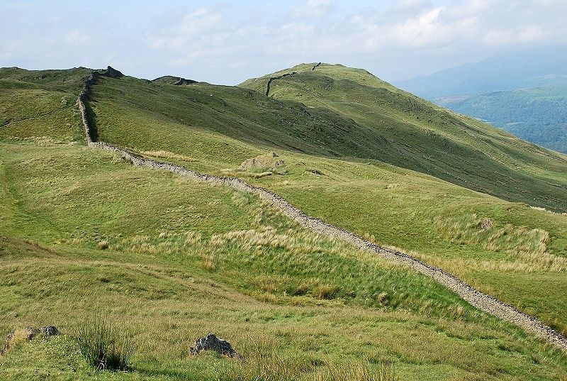
| A look back along the ridge to Wansfell Pike |
