 |
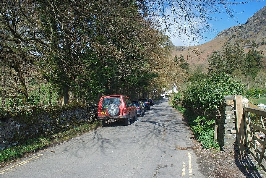
| The start of the access road to The Coppermines Valley which runs alongside the north side of Church Beck |
 |
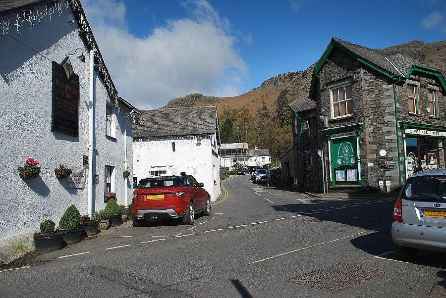
| Just past the Ruskin Museum there is free roadside parking for about 20 cars |
 |
| The upper part of the road is private and restricted to authorised vehicles |
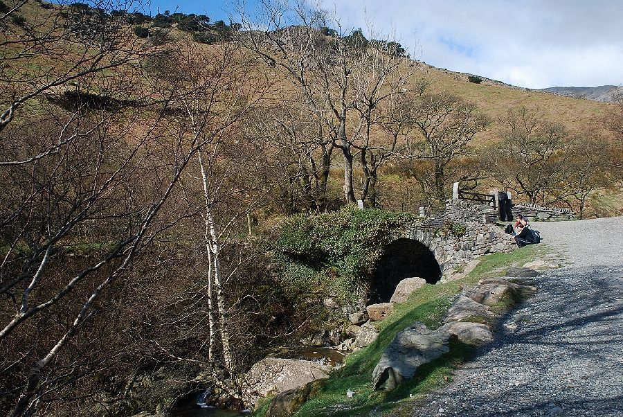 |
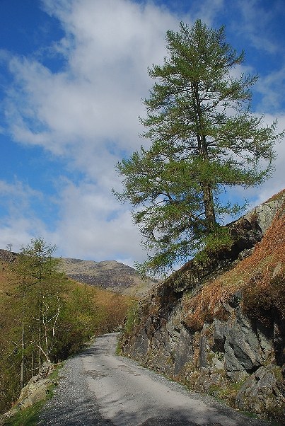
| Passing Miner's Bridge |
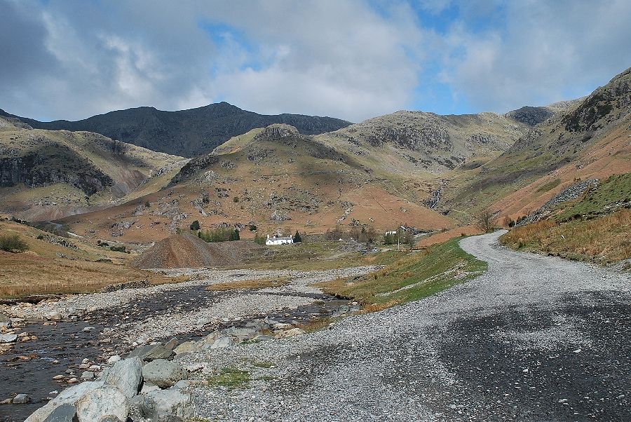 |
| The Coppermines Valley from the road above Miner's Bridge |
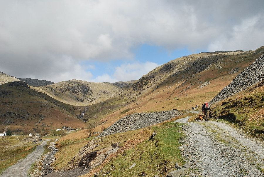 |
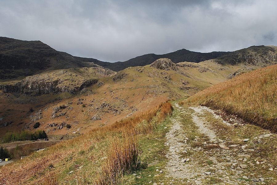
| The way ahead continues to the right along an old quarry track which leads to Irish Row, a terrace of cottages, and the disused Low Blue Slate Quarry on the slopes of Rascal How |
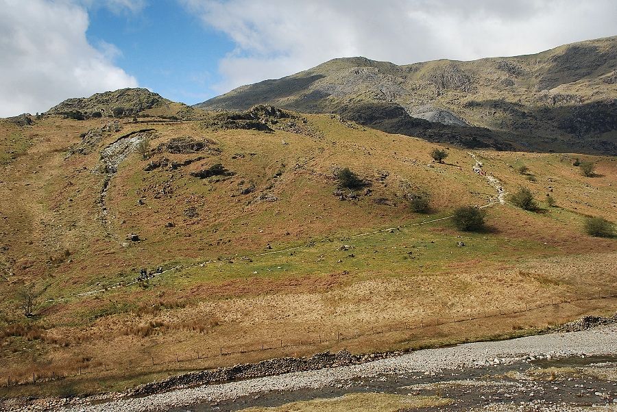 |
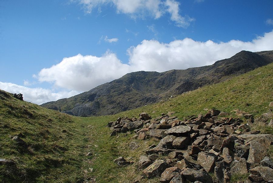
| Looking over to The Bell and Coniston Old Man from the Low Blue Quarry track |
 |
| Passing the Irish Row access road |
 |
| Above the Irish Row access road the quarry track turns sharply to the right. At this point a miner's path continues straight ahead to contour the slopes above the Coppermines Valley |
 |
| Looking down on Irish Row from the miner's path |
 |
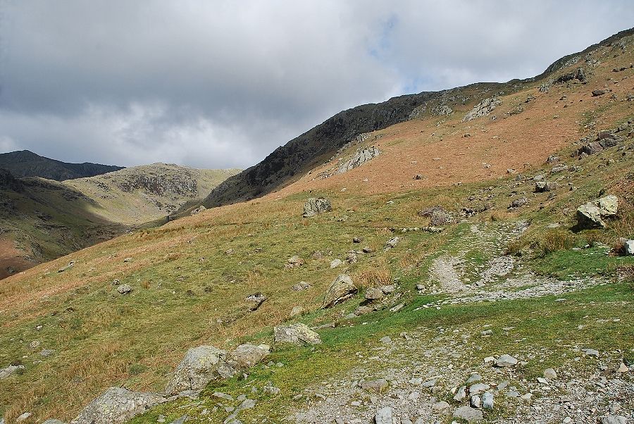
| The miner's path leads to the Red Dell copper mines |
 |
| Looking back to the Low Blue Slate Quarries |
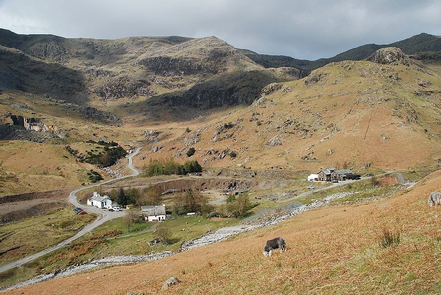 |
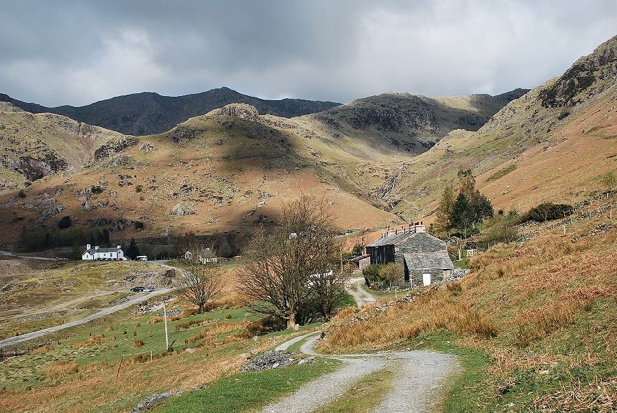
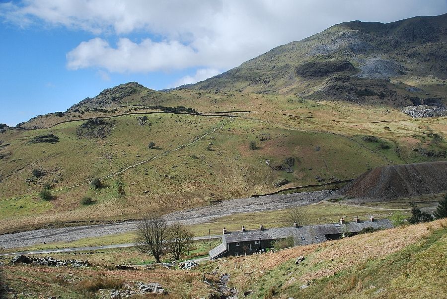
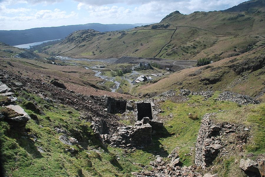
| Looking down on the remains of the Bonsor Upper Mill. The Bonsor or Deep Level mine was the the richest source of copper ore in the valley. The building on the left is the Coniston Coppermines Youth Hostel |
 |
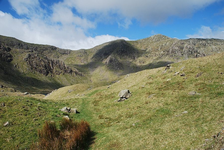
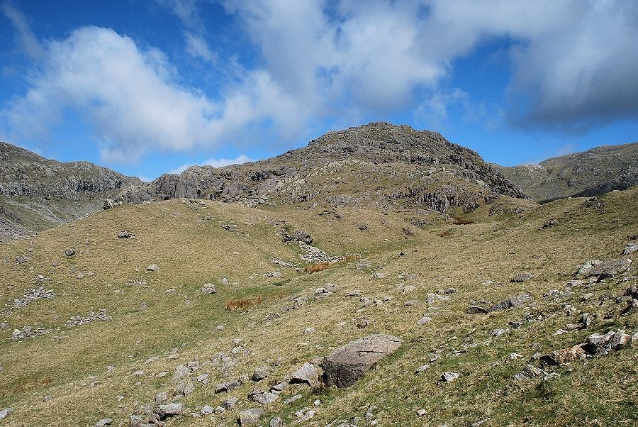
| Kennel Crag and the Black Sails ridge from the miner's path with Great How Crags on the centre skyline |
 |
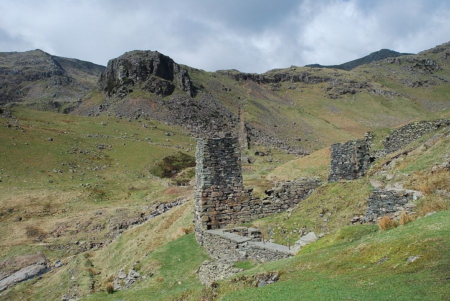
| The East Bonsor Shaft waterwheel pit and engine house which date from the middle of the 18th century |
 |
| The waterwheel pit and launder tower of the Old Engine Shaft |
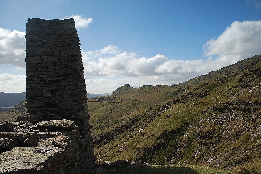 |
| Looking to The Bell from the launder tower of the Old Engine Shaft |
 |
| The footbridge over Red Dell Beck. To the left the dangerous openings of the West Bonsor and New Engine Shafts are protected by a fence |
 |
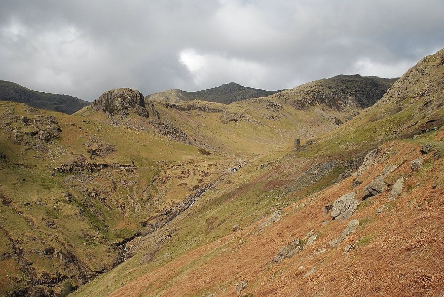
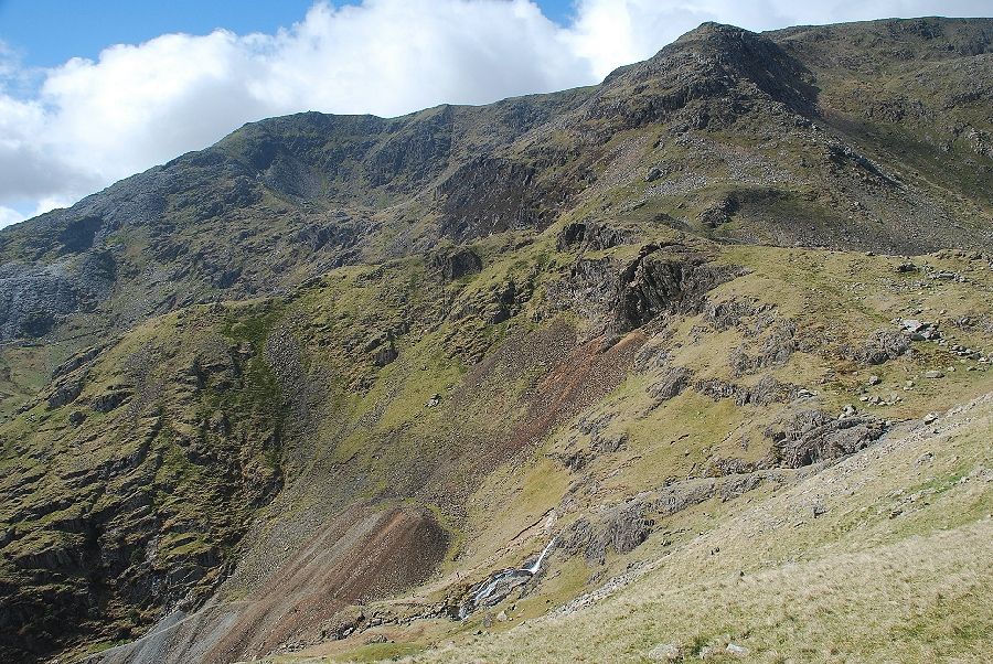
| The Black Sails ridge from Red Dell Beck |
 |
| Kennel Crag from the New Engine Shaft. The route continues up the Thriddle Incline and a path leading up to the Bouncy Mine |
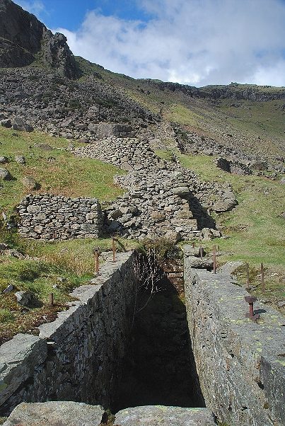 |
| The Thriddle Incline from the New Engine House Shaft waterwheel pit |
 |
| Looking down on the waterwheel pit. The 40ft diameter waterwheel once housed by the pit drove the winding gear for the New Engine Shaft and the pump rods and winder for the Thriddle Shaft at the top of the incline |
 |
| The Thriddle Incline from the remains of the waterwheels engine house |
 |
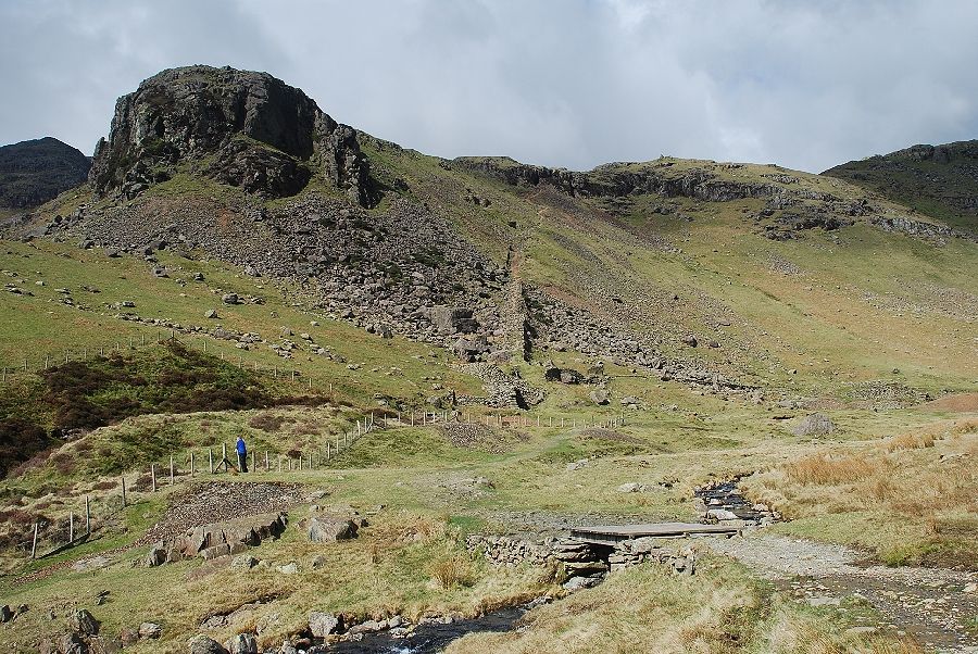
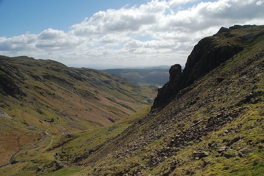
| The Black Sails ridge from the bottom of the incline. In the foreground are the ruins of the Red Dell stamping mill and dressing floors |
 |
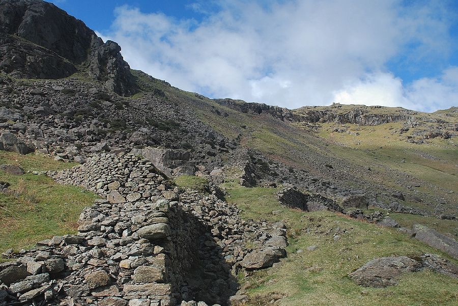
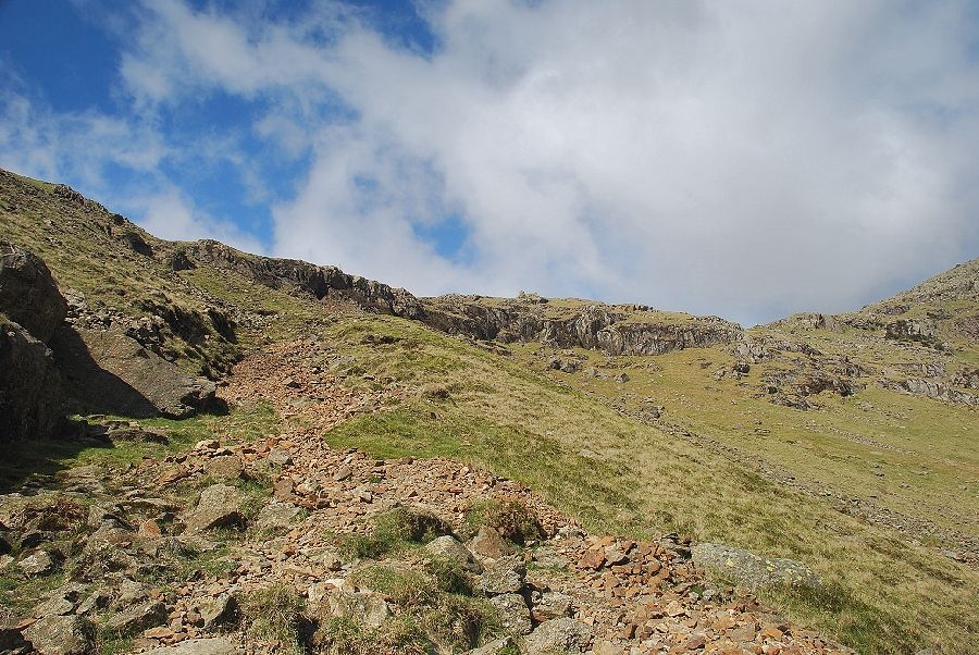
| Starting up the Thriddle Incline which was built to carry the Thriddle Shaft's winder and pumping rods |
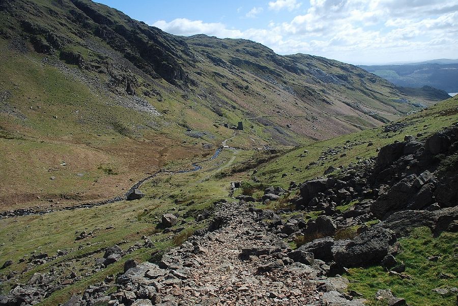 |
| Looking back from half way up the Thriddle Incline |
 |
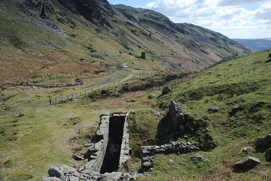
| Looking down from the Thriddle Incline onto the site of the old Red Dell stamping mill and dressing floor |
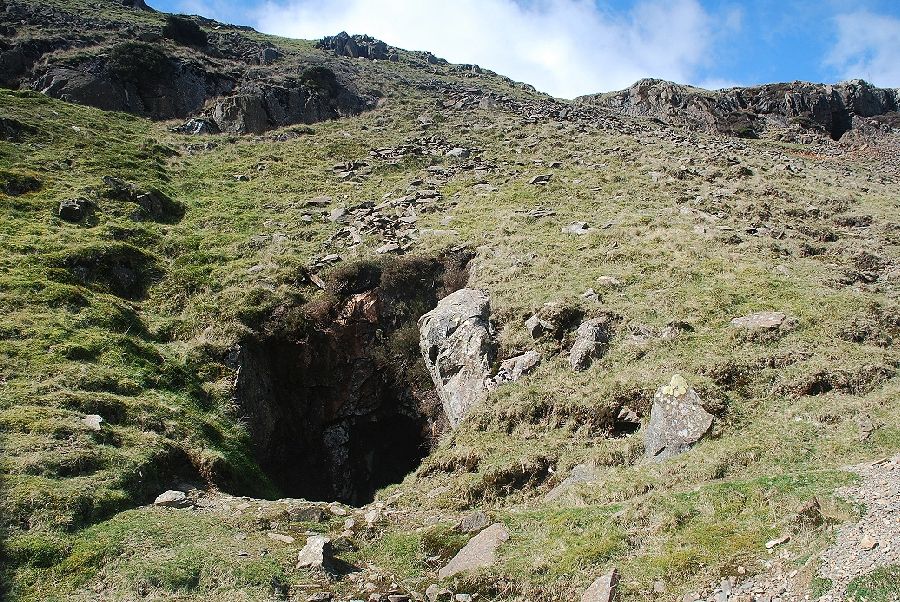 |
| Passing the entrance to the Thriddle Shaft Day Level |
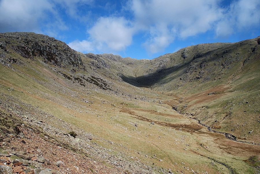 |
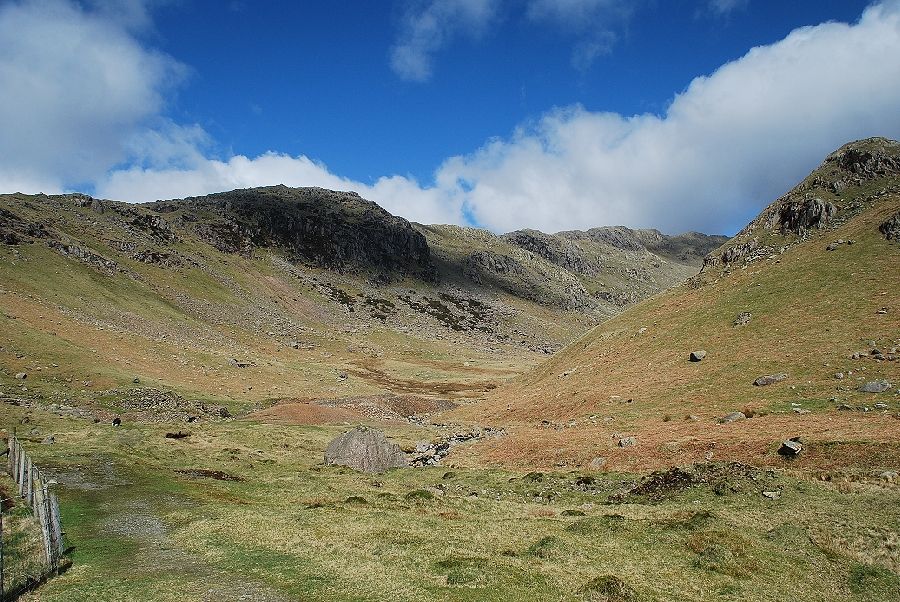
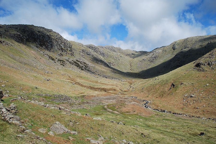
| The head of Red Dell from the Thriddle Shaft Day Level |
 |
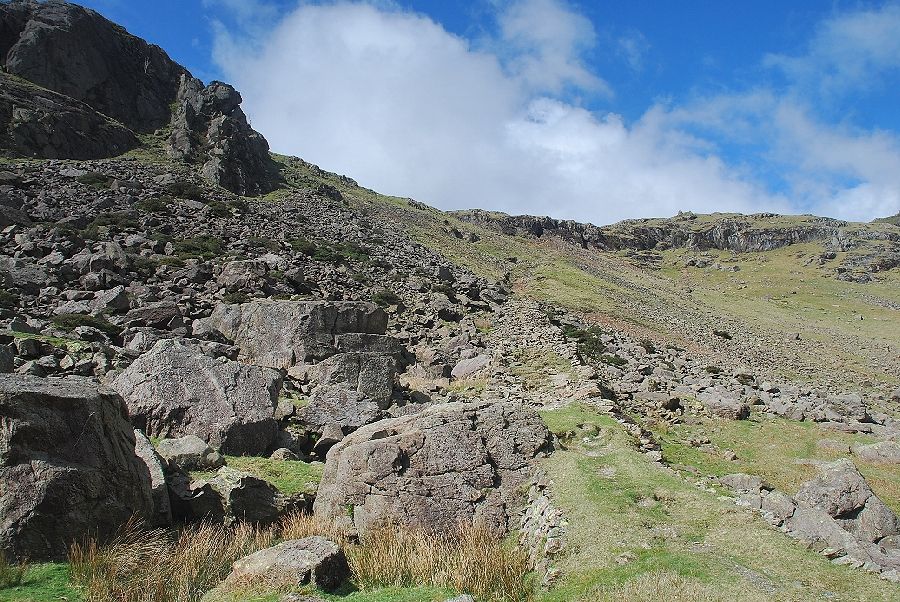
| A stony path leads on from the Thriddle Shaft Day Level towards the entrances to the Glory Hole and Bouncy Levels |
 |
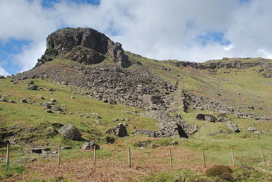
| The Black Sails ridge from the entrance to the Bouncy Level |
 |
| Looking back from the Bouncy Level |
 |
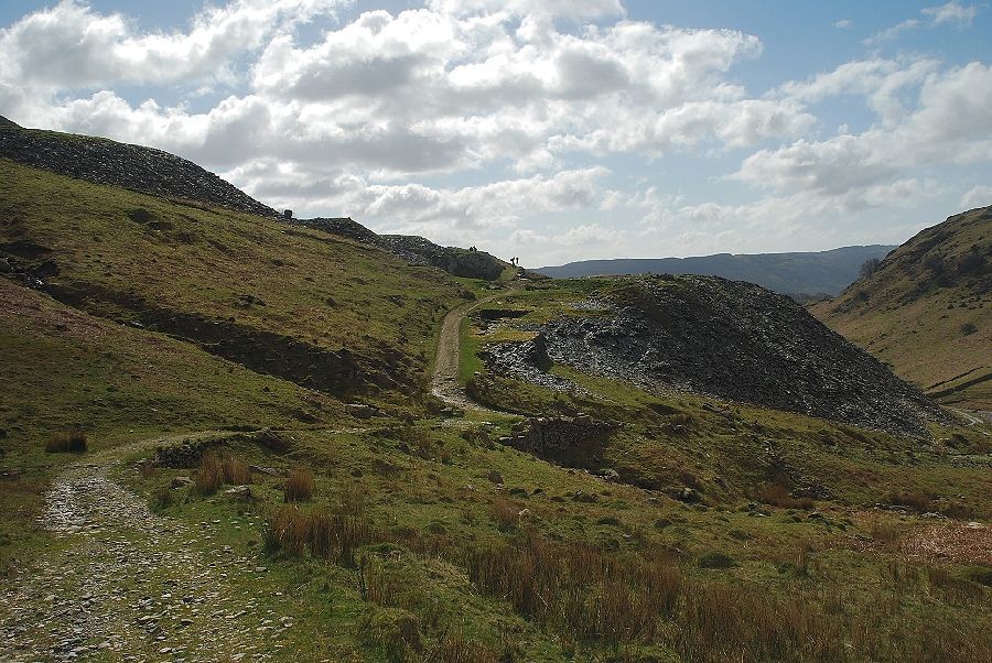
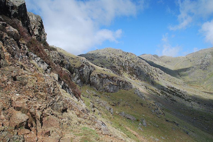
| To the left of the Glory Hole and Bouncy Levels a clear path leads to the col behind Kennel Crag |
 |
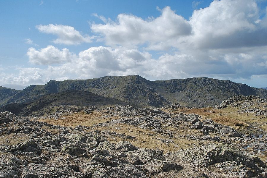
| Little How Crags and Great How Crags from the Kennel Crag col |
 |
| Coniston Old Man and Brim Fell from the col |
 |
| The path descends towards Levers Water and joins the main path to Swirl Hawse. It's time to leave it to begin the climb along the Black Sails ridge |
 |
| Initially there is little sign of a path over this section but one soon develops winding its way through the rock outcrops of Erin Crag and Blake How |
 |
| Looking back towards Coniston Old Man, Raven Tor and Brim Fell |
 |
| Coniston Water from the lower slopes of the Black Sails ridge |
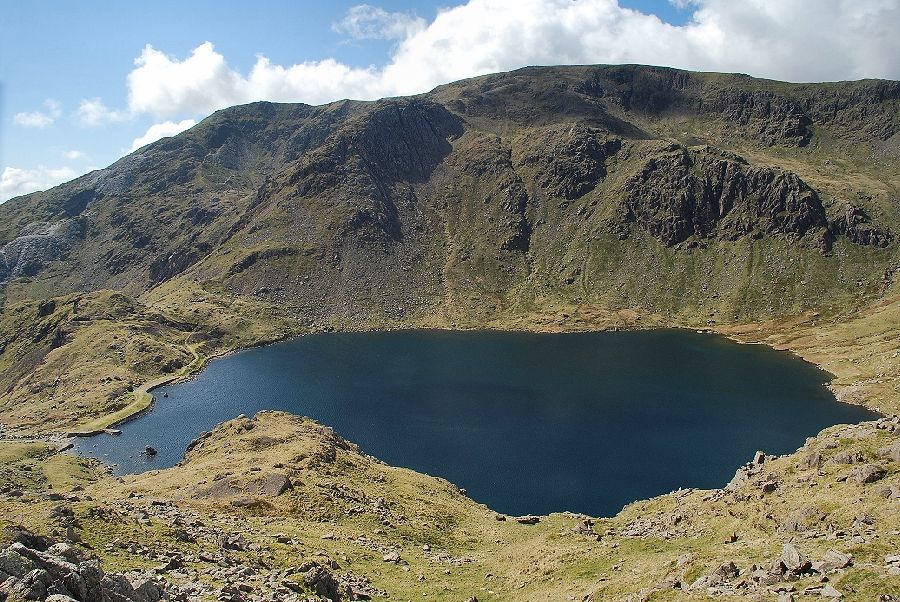 |
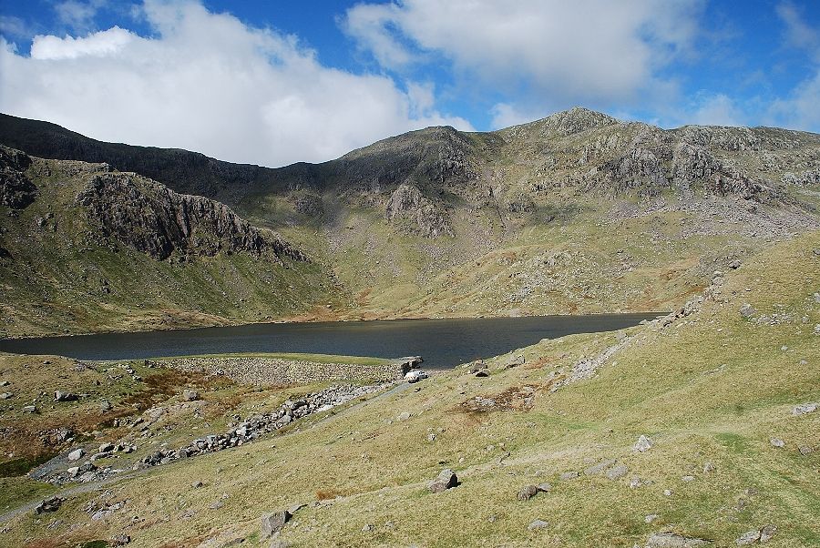
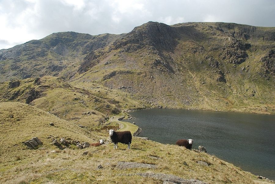
| Brim Fell over Levers Water |
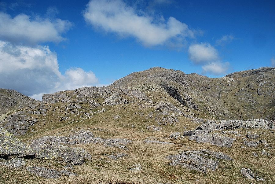 |
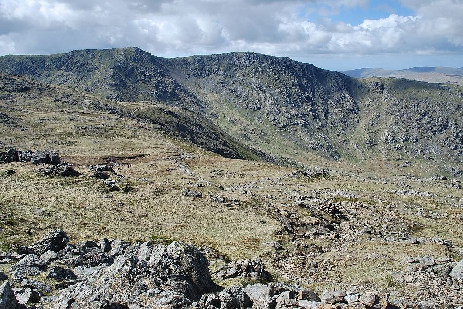
| On reaching the top of Blake How the summit of Black Sails comes into view over the tops of Low Wether Crag and High Wether Crag with the head of Red Dell and Wetherlam on the right |
 |
| Crinkle Crags appear over the top of Swirl Hawse from the path on Low Wether Crag |
 |
| Looking over towards Swirl How and Great Carrs |
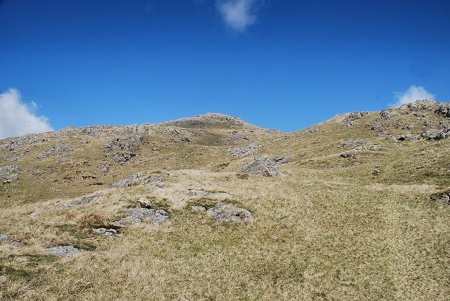 |
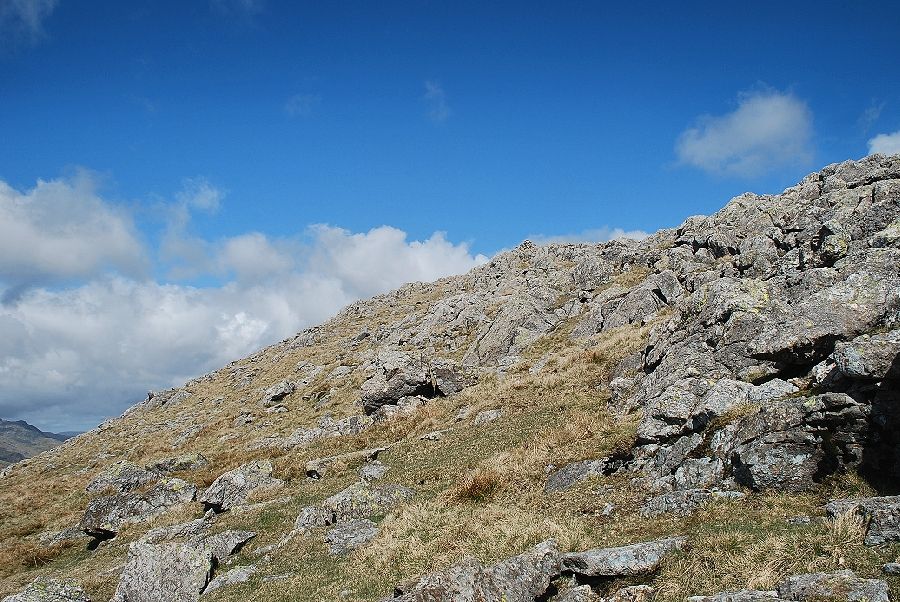
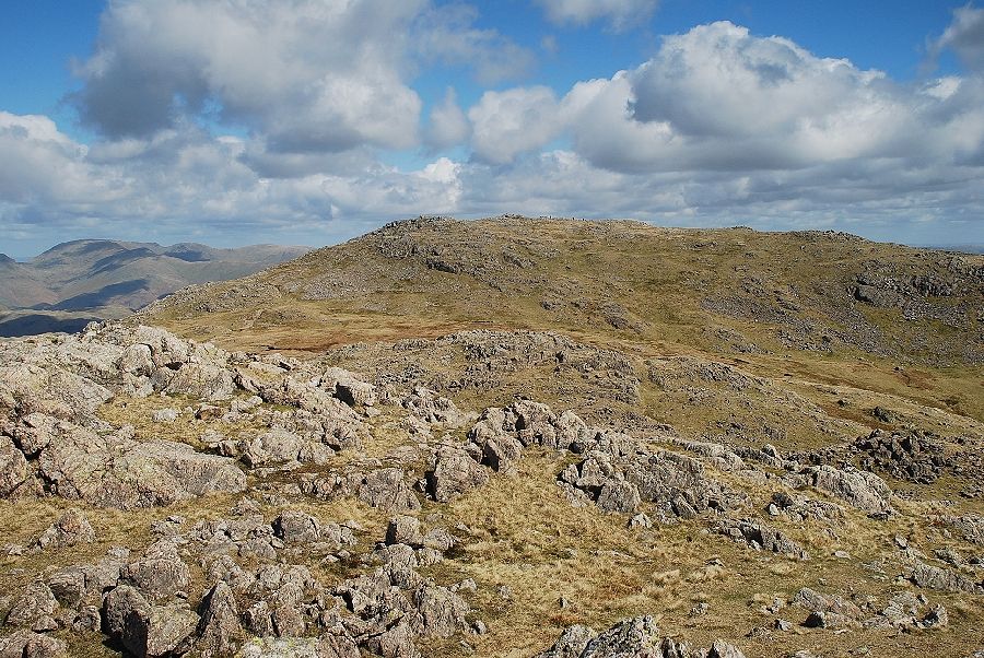
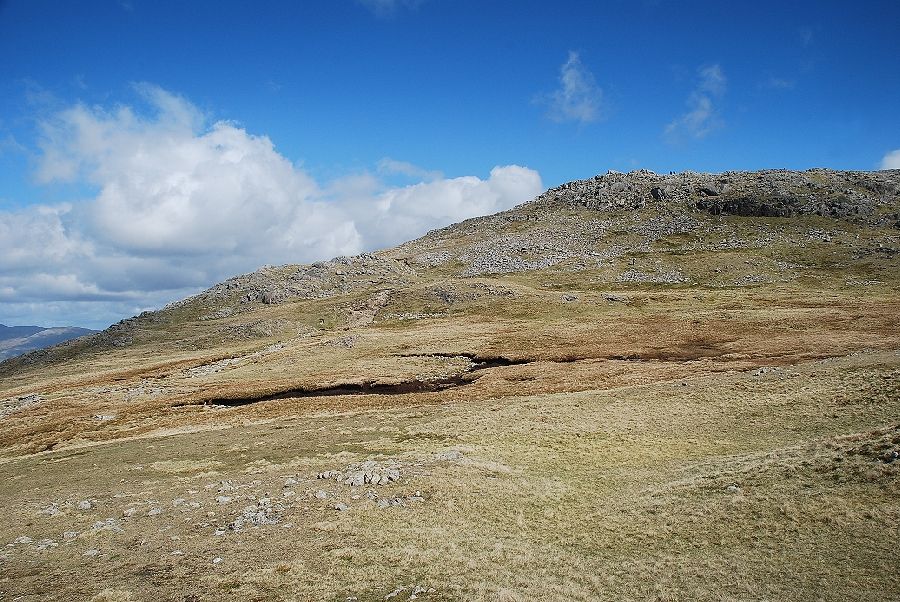
| The final slopes leading up to the summit of Black Sails |
 |
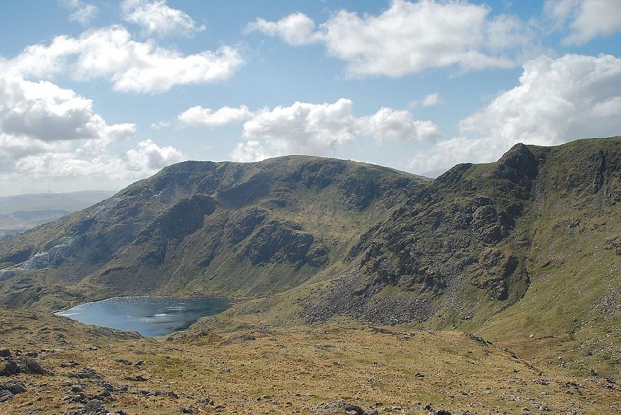
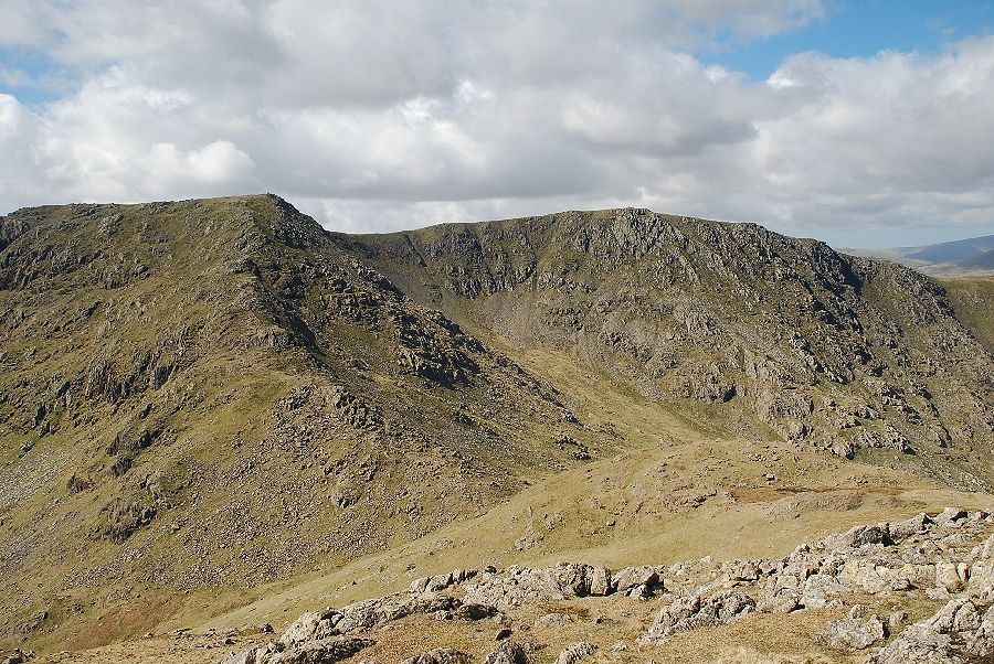
| Great How Crags towering above Swirl Hawse Beck and The Prison |
 |
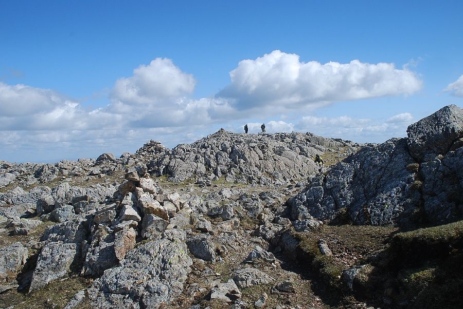
| The summit cairn on Black Sails comes into view |
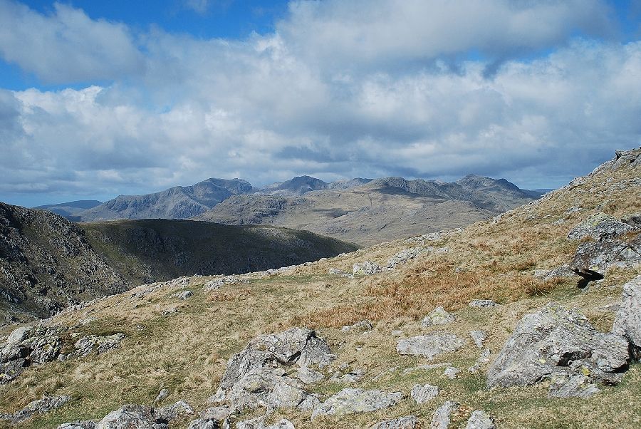 |
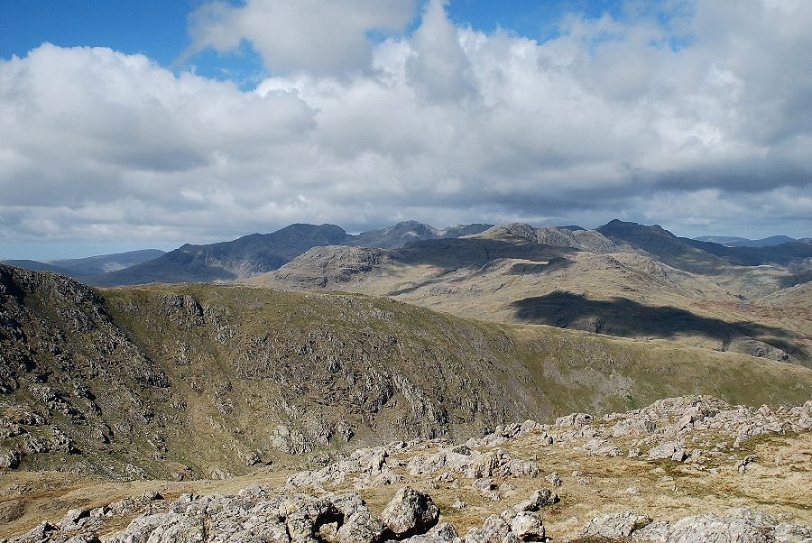
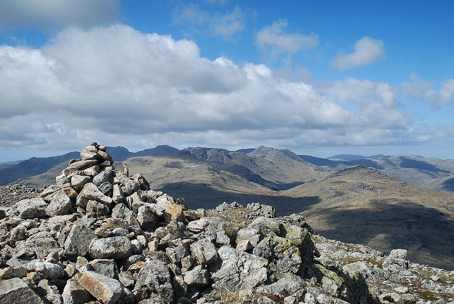
| Looking across to the Scafells, Crinkle Crags and Bowfell |
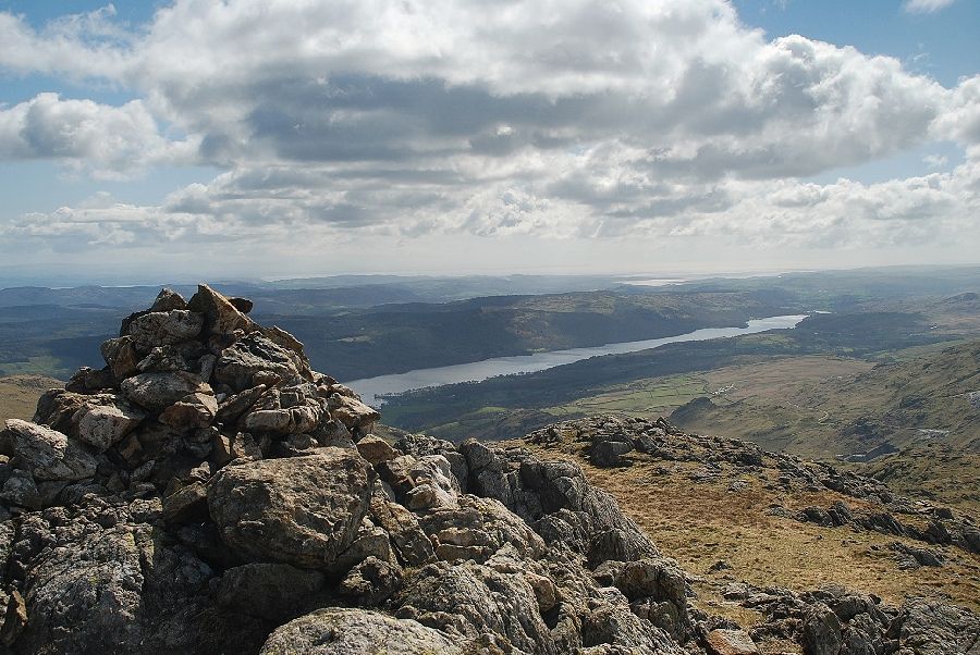 |
| Coniston Water from the summit of Black Sails |
 |
| Coniston Old Man and Brim Fell above Levers Water from the summit of Black Sails |
 |
| Swirl How and Great Carrs from the summit of Black Sails |
 |
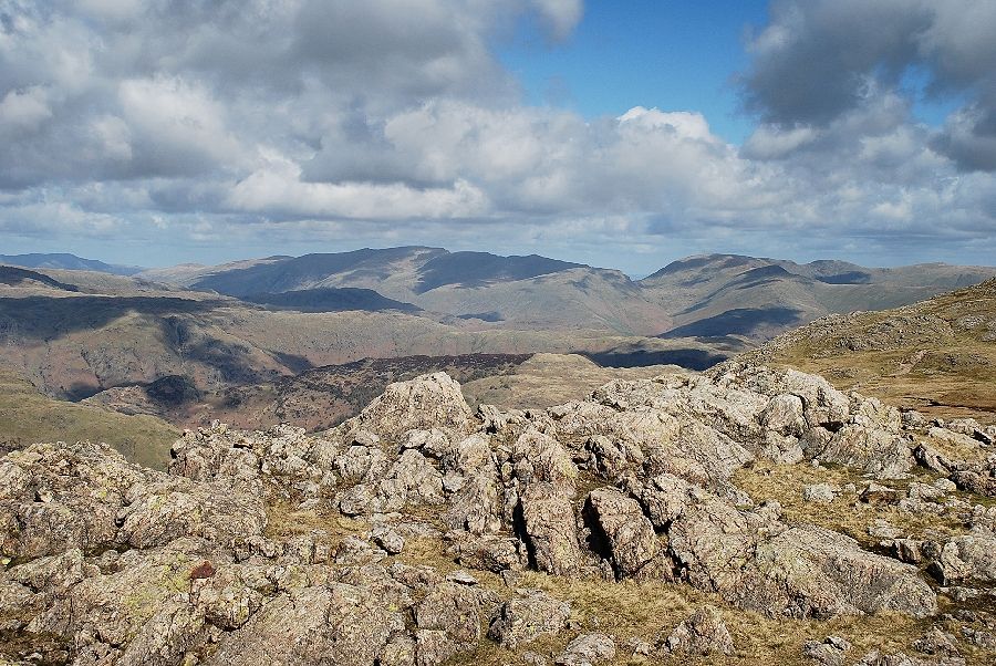
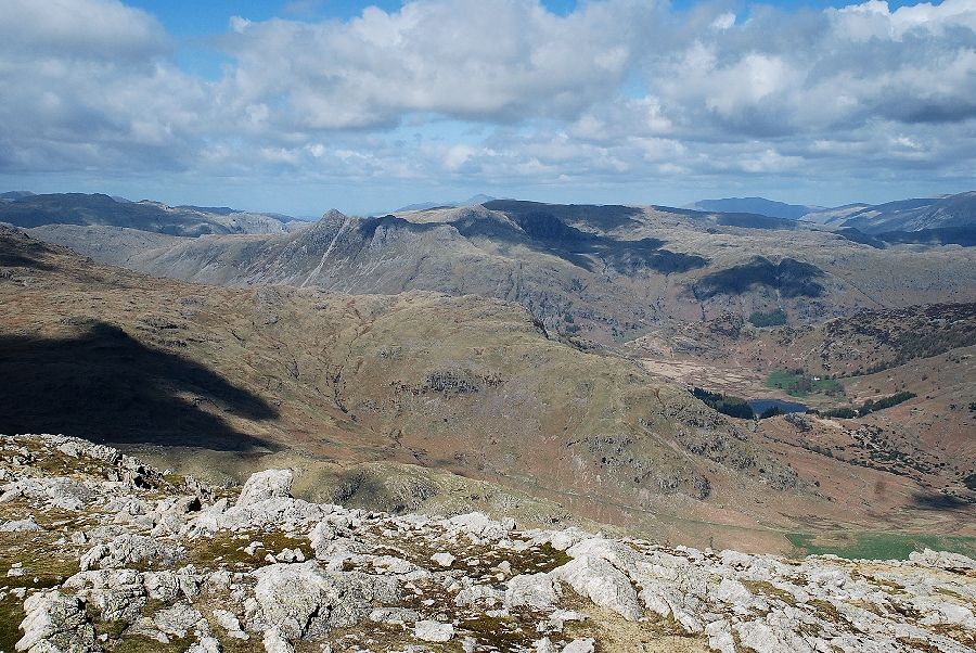
| Looking over Wet Side Edge to the Scafells, Crinkle Crags and Bowfell |
 |
| Skiddaw appears over the Langdale Pikes in the centre with Glaramara over Pike o' Blisco on the left |
 |
| Looking north east to the Helvellyn range with the Fairfield group of fells on the right |
 |
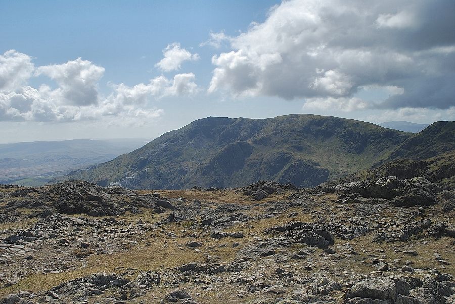
| The summit of Wetherlam across Red Dell Head Moss from Black Sails |
 |
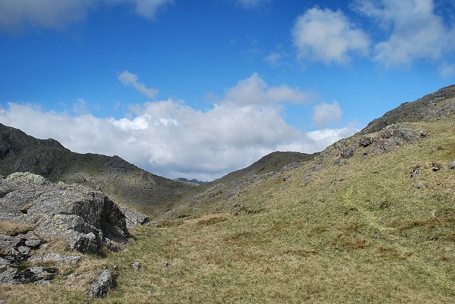
| Descending towards Red Dell Head Moss to join the main path which rises from Swirl Hawse |
 |
| Looking back from the Swirl Hawse path, the summit of Black Sails in the centre of the photo with Swirl How on the right |
 |
| The summit cairn of Wetherlam comes into view |
 |
| Looking back to Swirl How and Great Carrs over the head of the Greenburn Valley |
 |
| The summit cairn on Wetherlam |
 |
| The Langdale Pikes from the summit of Wetherlam |
 |
| Helvellyn and Fairfield from the summit of Wetherlam |
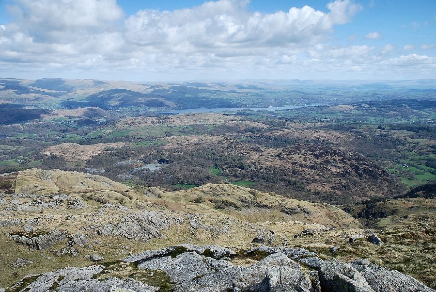 |
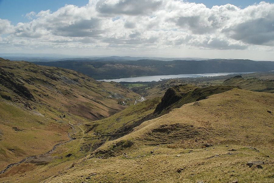
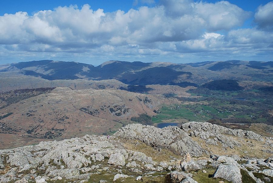
| Windermere from the summit of Wetherlam |
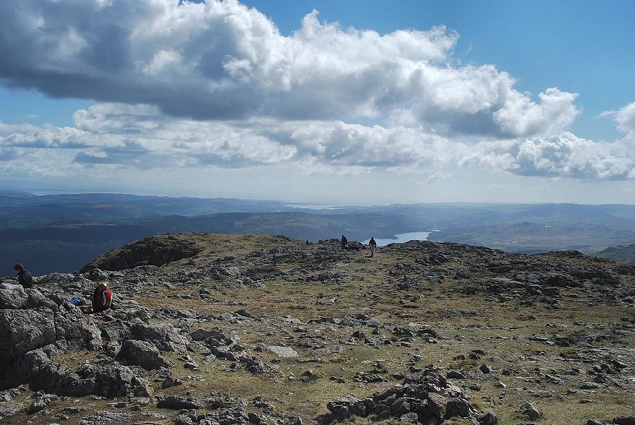 |
| Coniston Water from the summit of Wetherlam |
 |
| Coniston Old Man and Brim Fell from the summit of Wetherlam |
 |
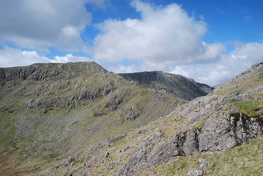
| Great How Crags and Swirl How above the summit of Black Sails with Great Carrs on the right |
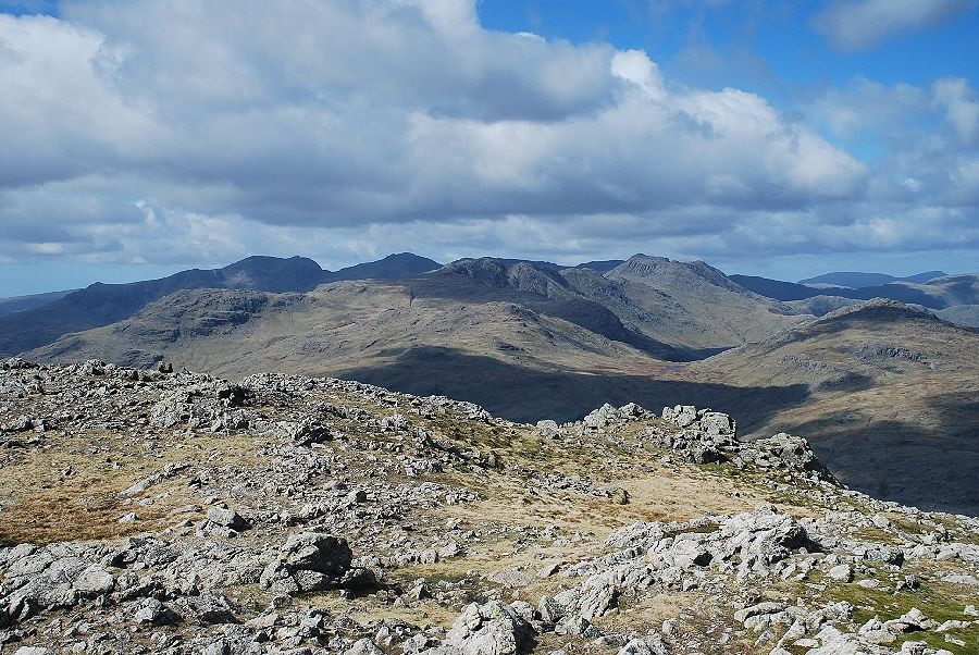 |
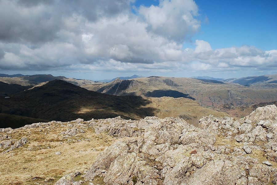
| The Scafells, Crinkle Crags and Bowfell from the summit of Wetherlam |
