 |
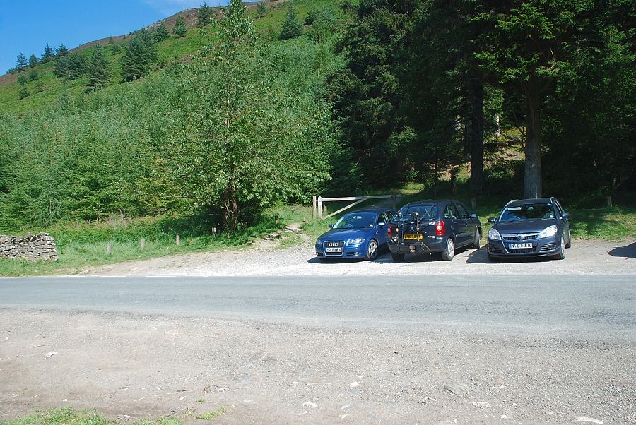
| The starting point for this walk is a roadside lay-by to the west of the Whinlatter Forest Park visitor centre |
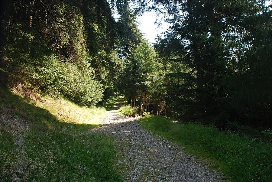 |
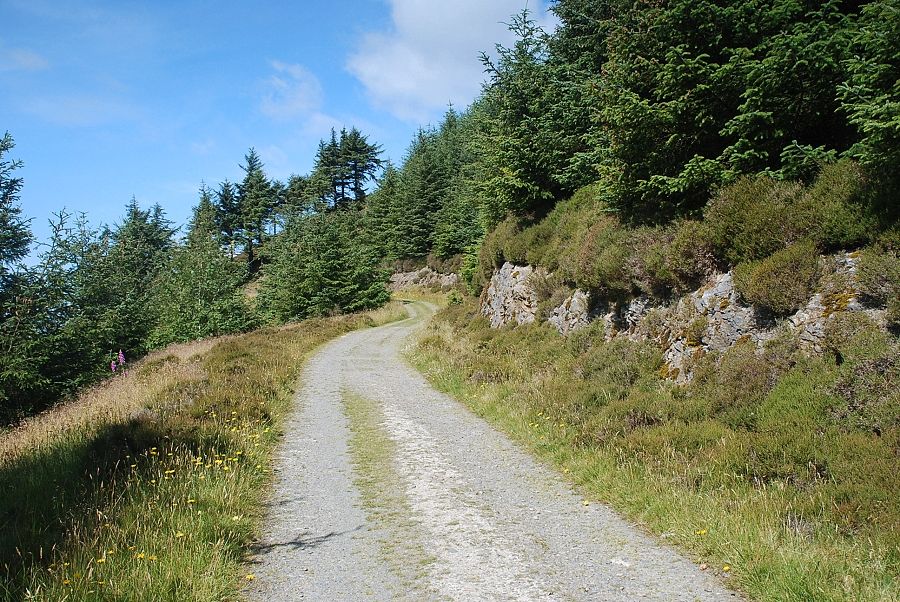
| A minor forest track starts from the lay-by, ignore the first green path that branches left and continue on the track which rises above the visitor centre |
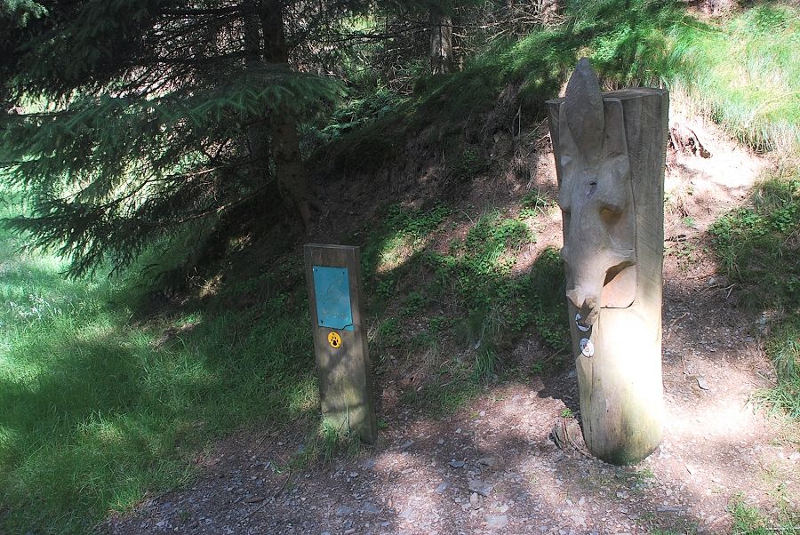 |
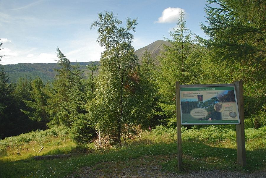
| Whinlatter Forest Park is home to a large population of Red Squirrels. The forest track is part of the Squirrel Scurrel trail, information leaflets on this and other waymarked paths in the forest are available at the visitor centre |
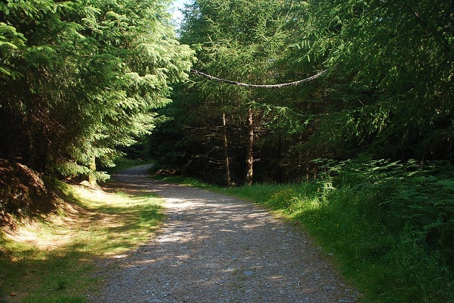 |
| Passing beneath a red squirrel ropeway bridge |
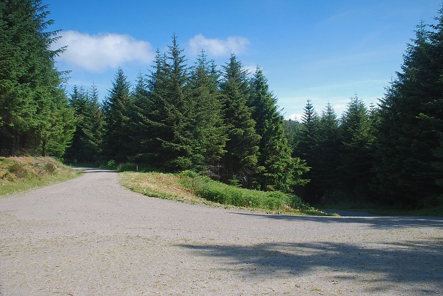 |
| After a gentle third of a mile of ascent the track joins a major forest road at a wide sweeping bend |
 |
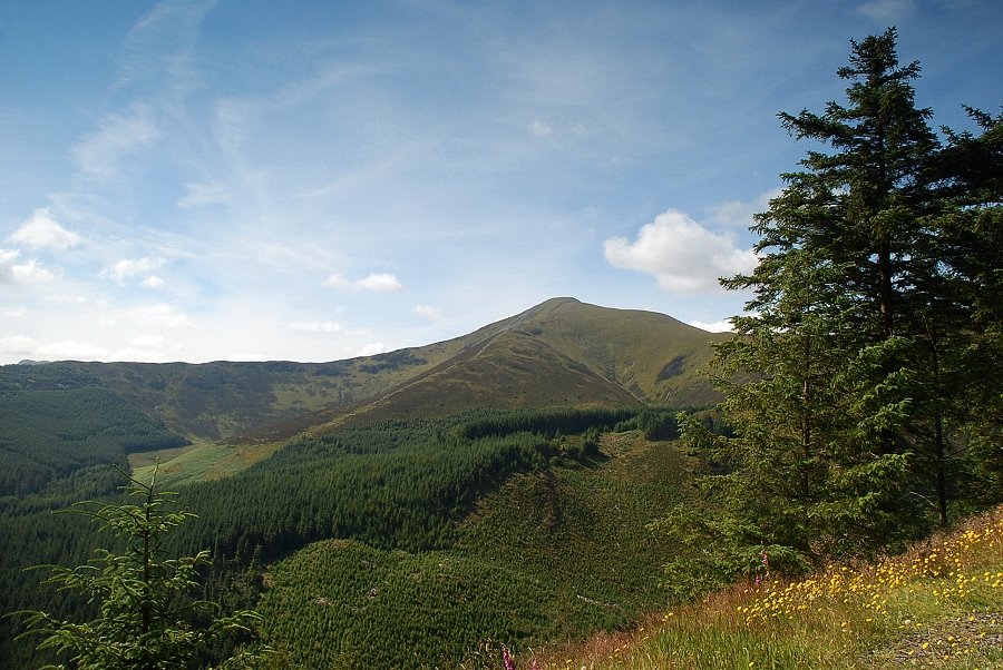
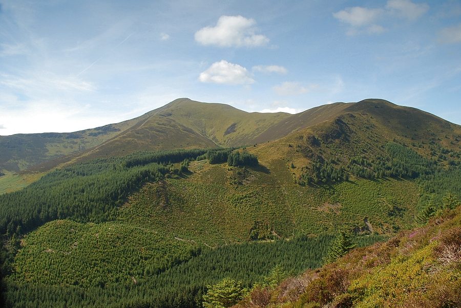
| Grisedale Pike from the forest road |
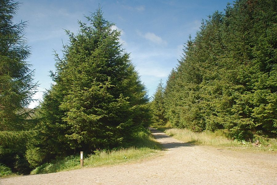 |
| The ascent of Whinlatter continues on the minor track which makes an acute left turn and heads back due west from the forest road |
 |
| Looking back along the track, Great Mell Fell is framed between the tall conifers |
 |
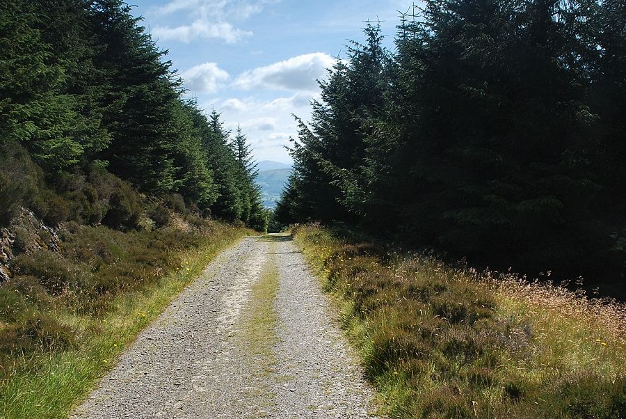
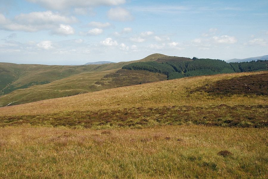
| The track heads towards the edge of the forest and is just over a quarter of a mile long. Near its end the trees begin to thin out, opening out the views |
 |
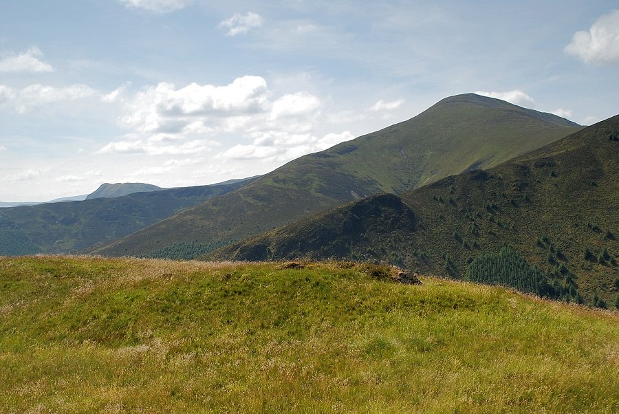
| Grisedale Pike from near the end of the track |
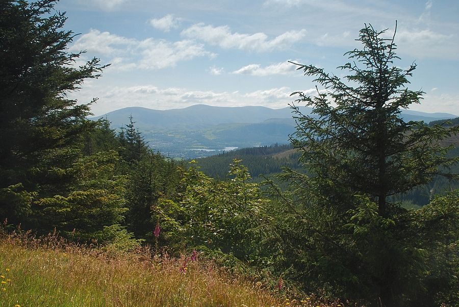 |
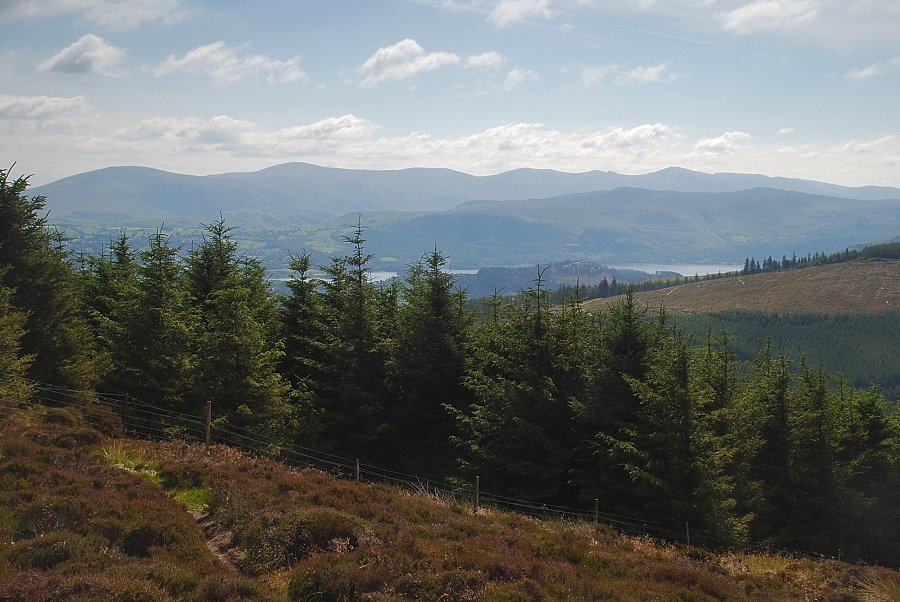
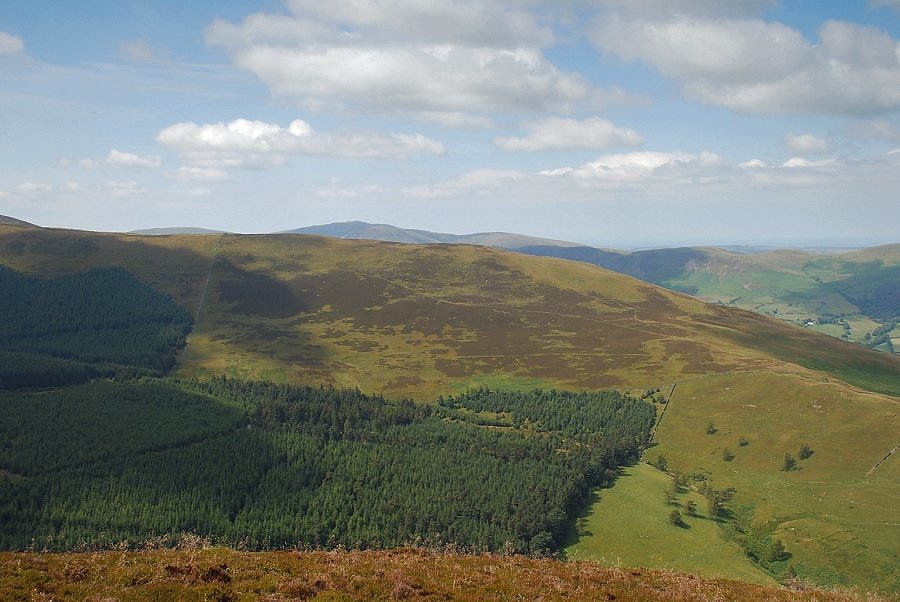
| A glimpse of Derwent Water with Clough Head, Great Dodd, Stybarrow Dodd and Raise on the horizon between the trees |
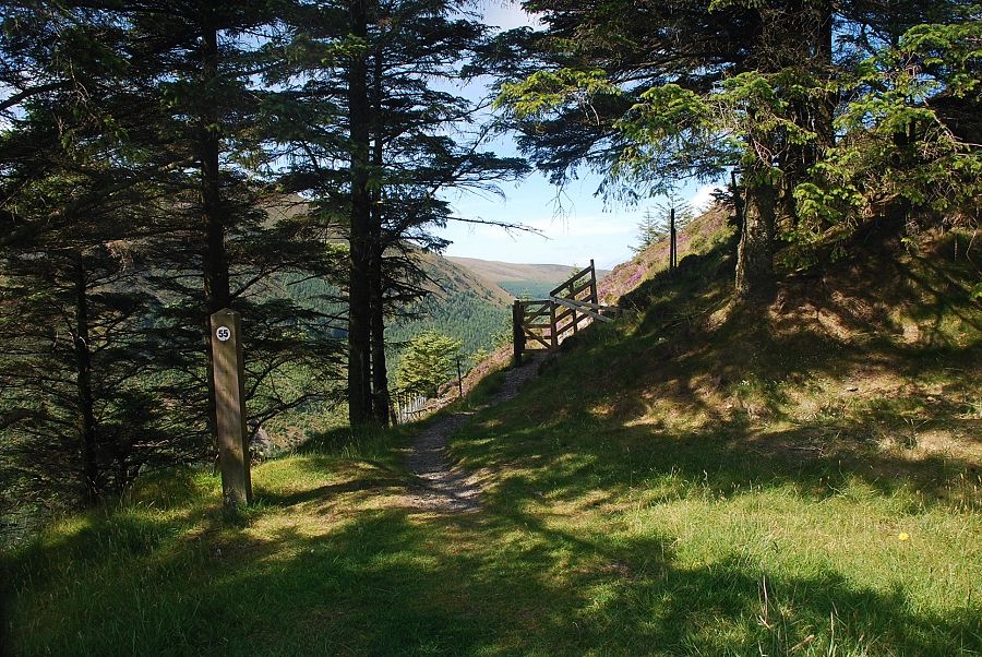 |
| At the end of the track a stile gives access to the open fellside |
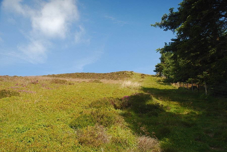 |
| From the stile a faint path leads up by the side of the forest fence to the ridge line |
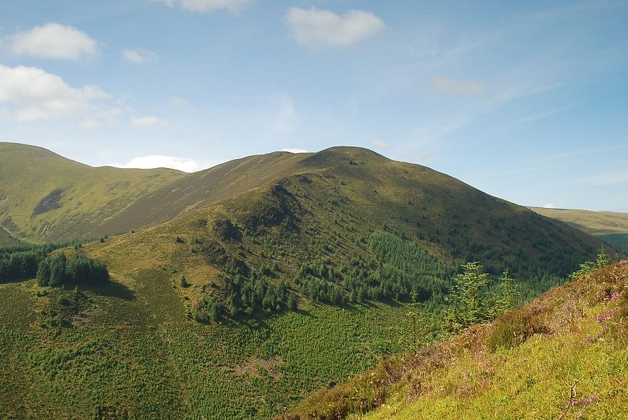 |
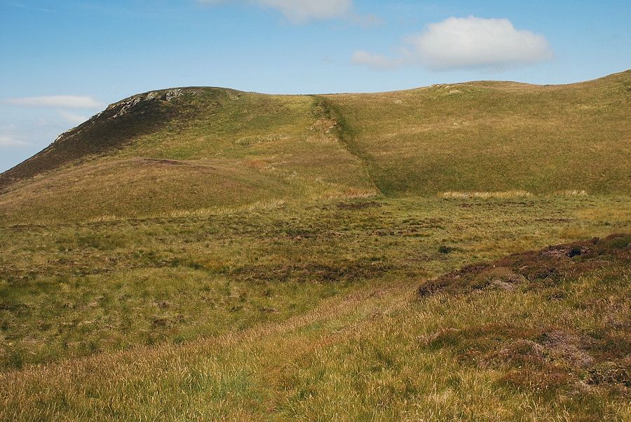
| Looking over to Hobcarton End from the climb to the ridge |
 |
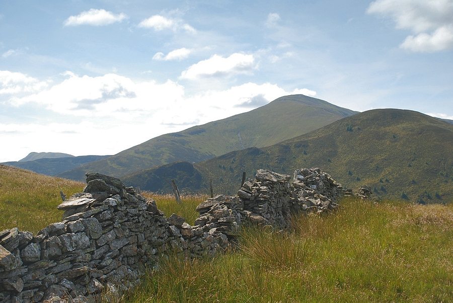
| Looking back from the climb to the ridge, Causey Pike appears over Sleet How |
 |
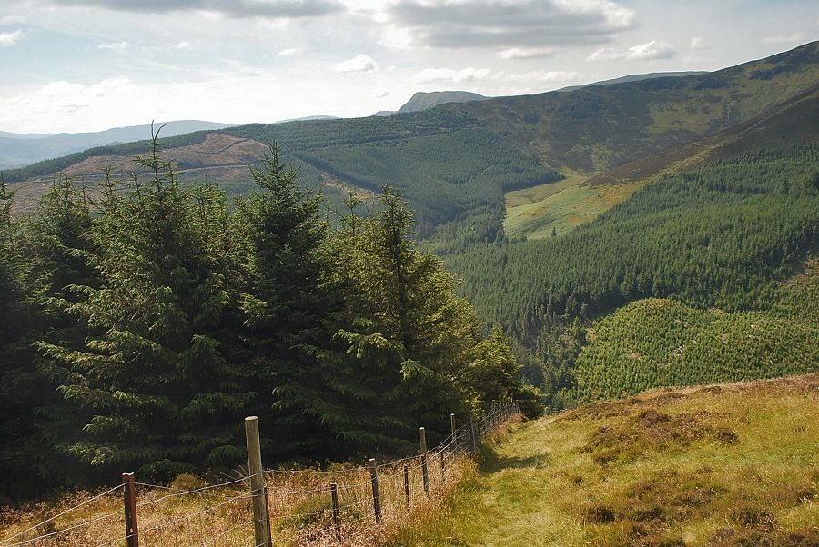
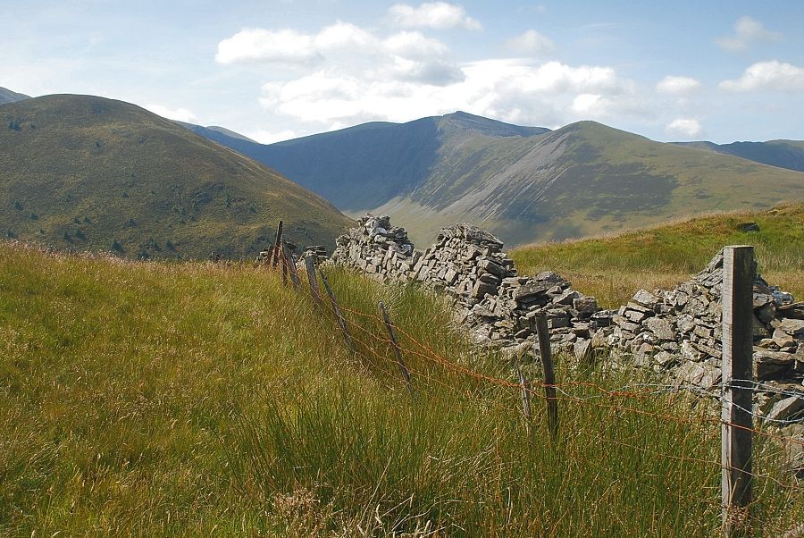
| After following the forest fence for 150 yards the path veers away to the left towards Whinlatter Top |
 |
| Looking across to Grisedale Pike |
 |
| Looking back to the Helvellyn range |
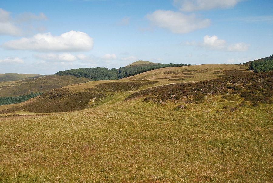 |
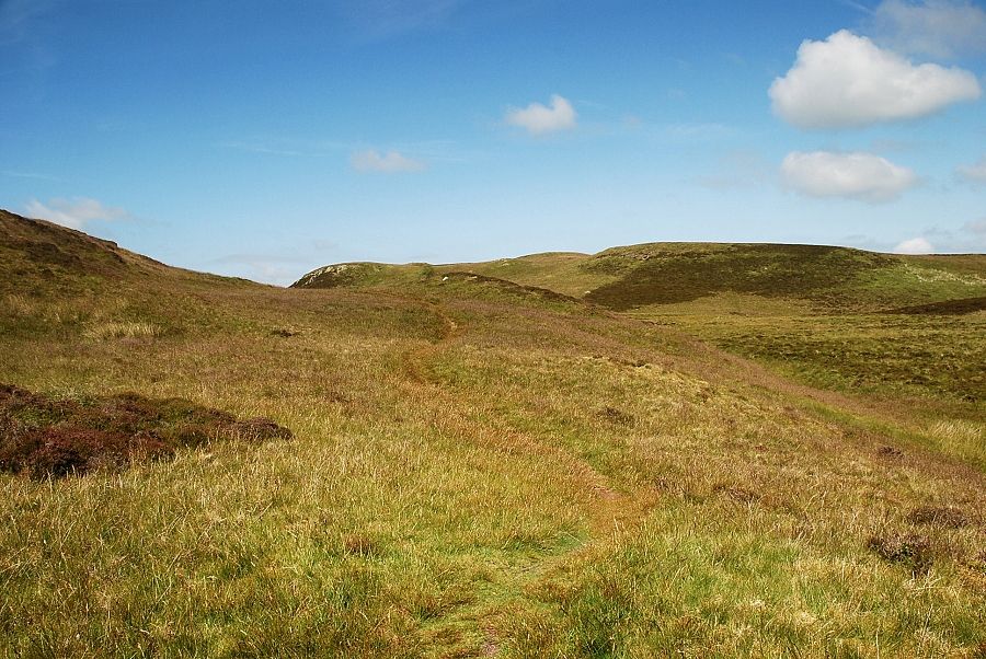
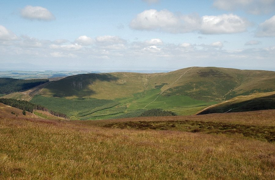
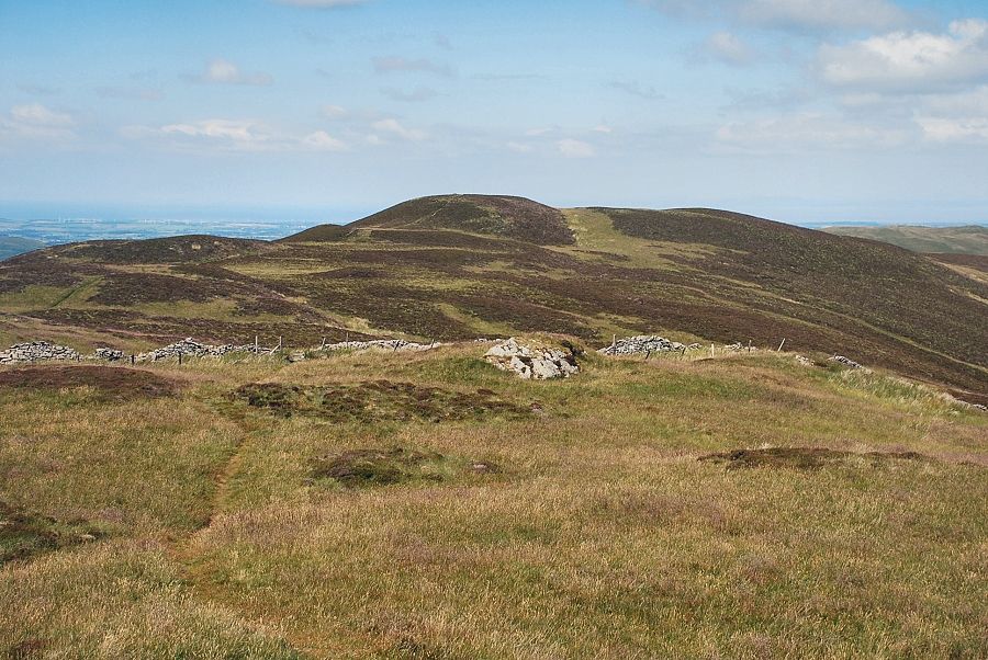
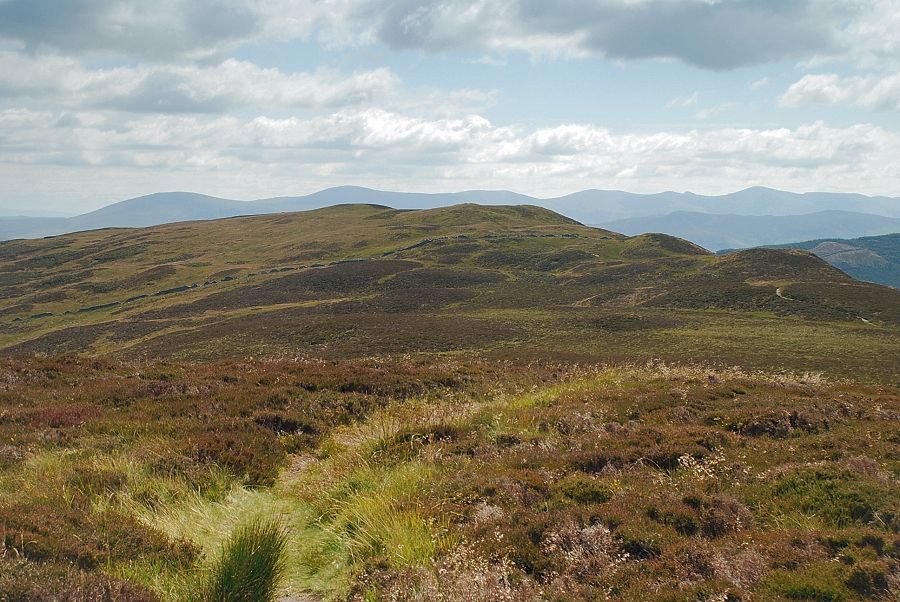
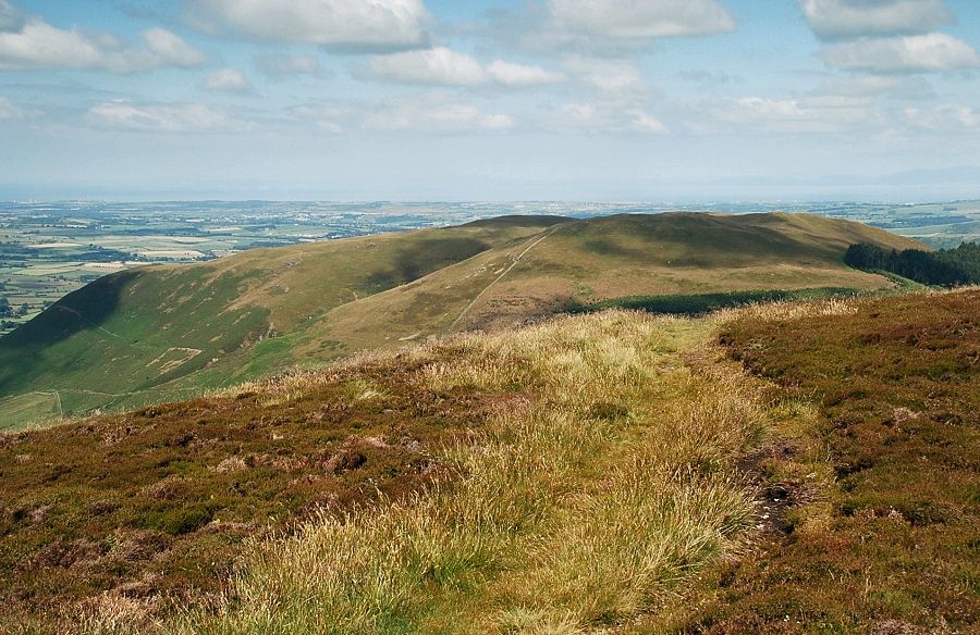
| Looking across Knotts to Lord's Seat, the highest of the Whinlatter group of fells |
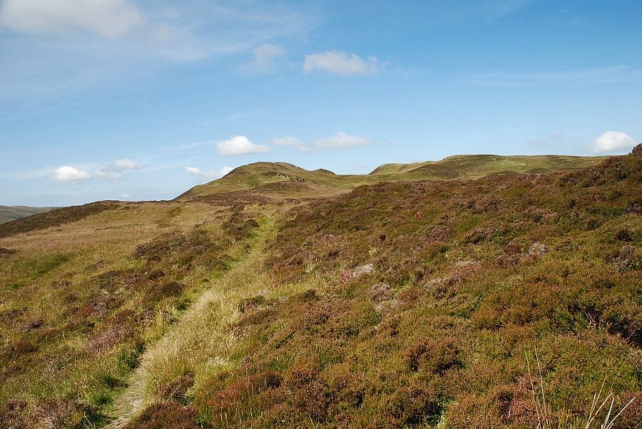 |
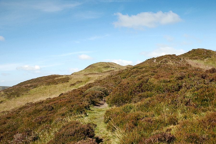
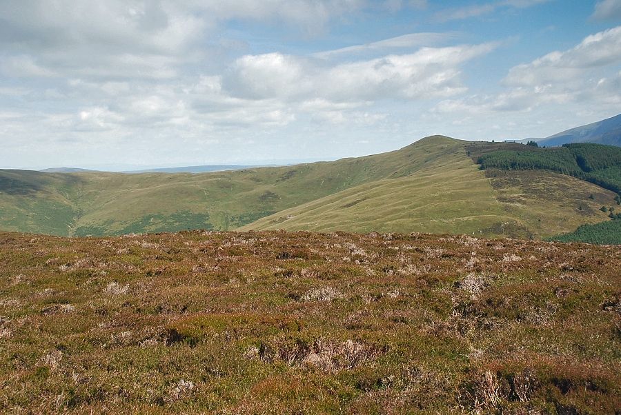
| Whinlatter Top comes into view, centre right in the photo |
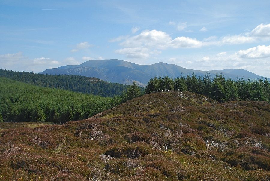 |
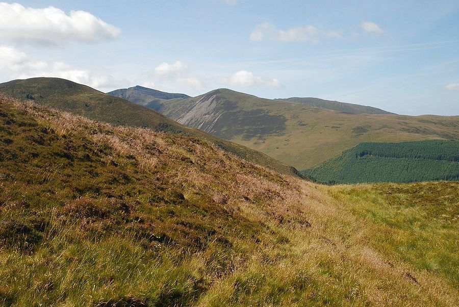
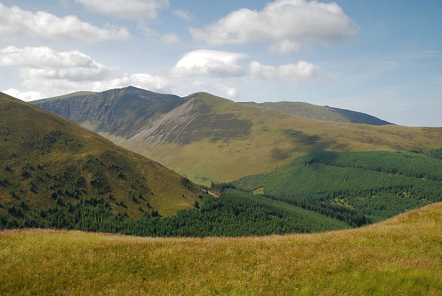
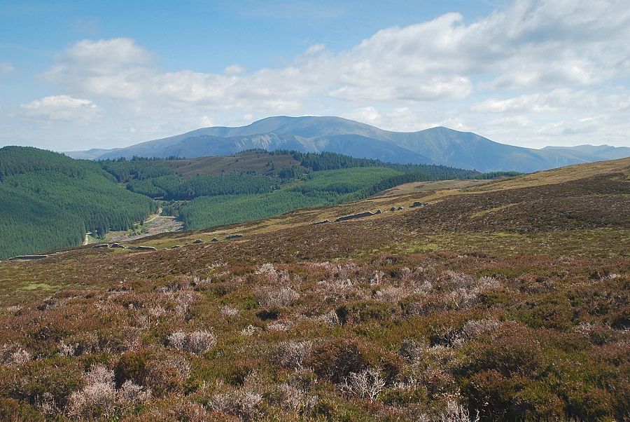
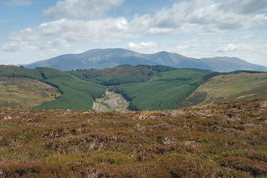
| Looking back over the trees of of the Whinlatter Forest to Skiddaw and Blencathra |
 |
| Approaching Whinlatter Top |
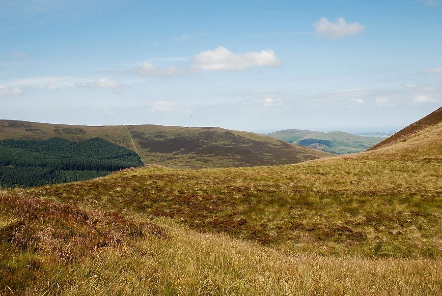 |
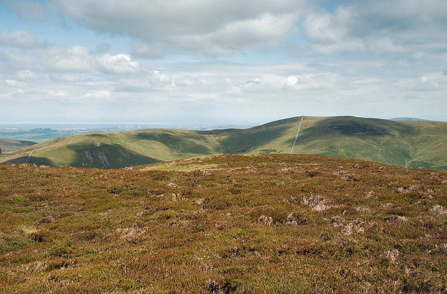
| Looking across to Swinside and Fellbarrow |
 |
| Looking back to Skiddaw and Blencathra |
 |
| The final short rise to Whinlatter Top |
 |
| Looking across the north-west ridge of Hobcarton End to Hopegill Head and Ladyside Pike with Whiteside on the right |
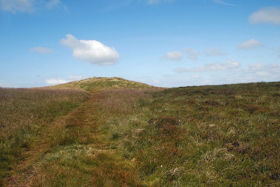 |
| The summit of Whinlatter Top comes into view |
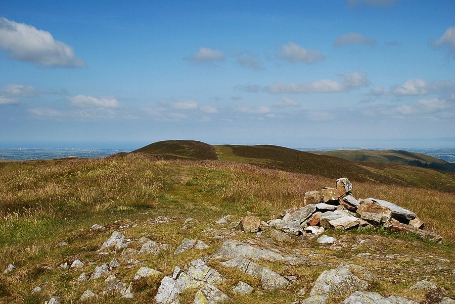 |
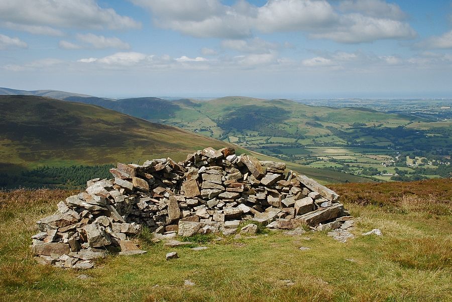
| The summit cairn on Whinlatter Top looking towards Brown How. Whinlatter Top is now recognised as the highest point on the summit ridge. In AW's time OS maps showed Brown How to be the summit, he had his doubts about that, discussed it at some length in his summit notes and proved it to be incorrect by his own amateur surveying. Modern maps have confirmed his findings this east top, as he called it, is 25ft higher than Brown How |
 |
| Broom Fell from Whinlatter Top |
 |
| Lord's Seat with the summit of Binsey to the left |
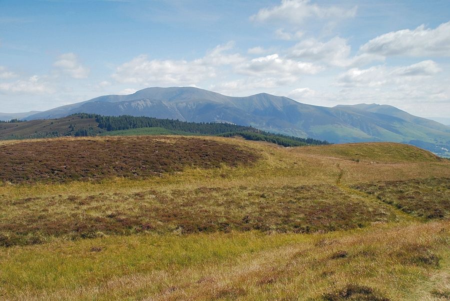 |
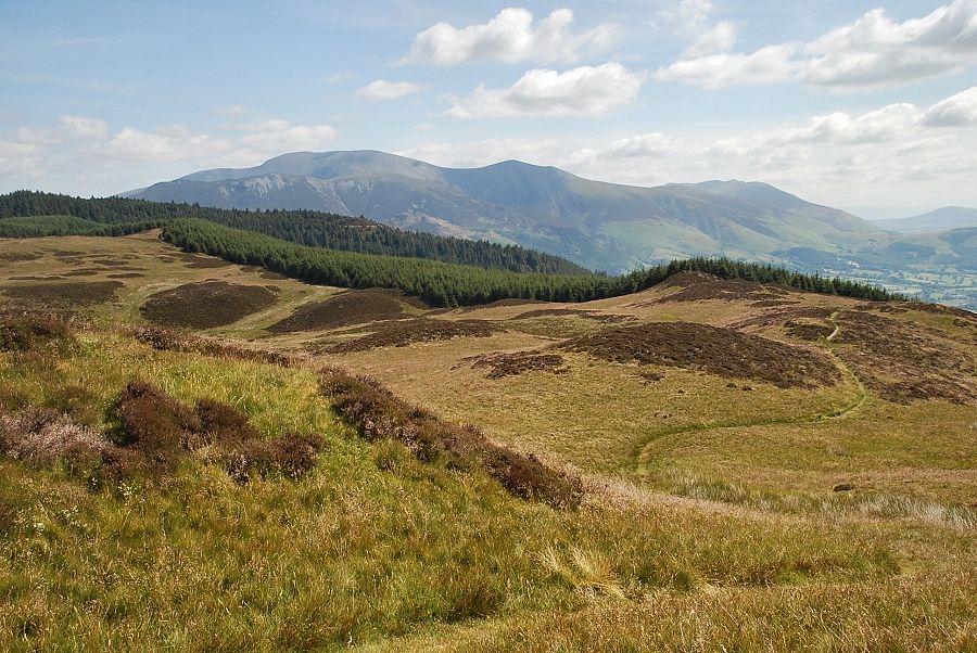
| Skiddaw and Blencathra from Whinlatter Top |
 |
| The Helvellyn range from Whinlatter Top |
 |
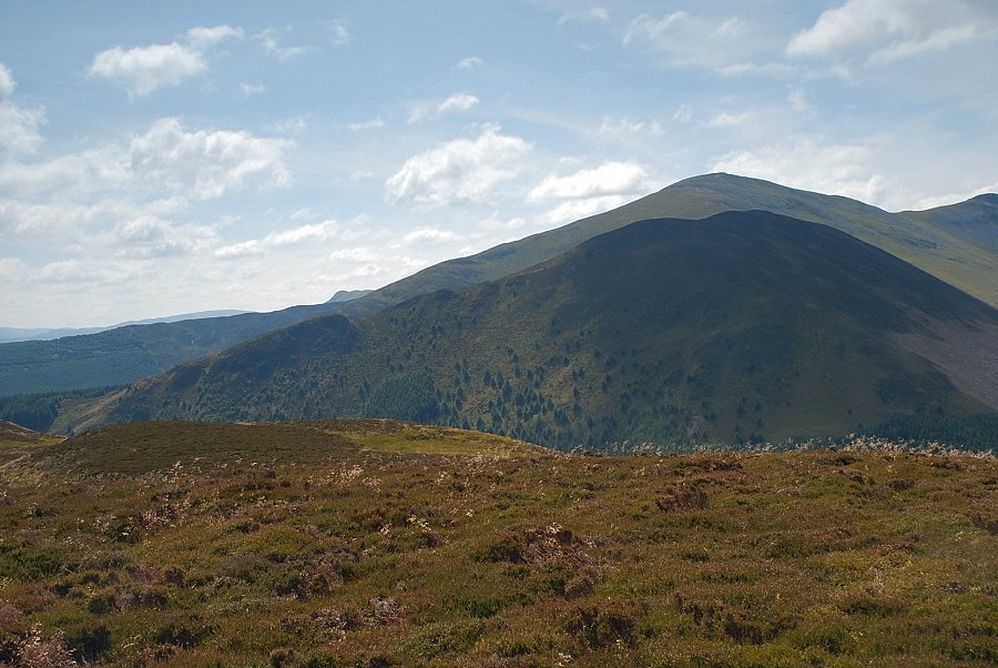
| Grisedale Pike with the summit of Causey Pike on the left |
 |
| Hopegill Head, Ladyside Pike and Whiteside from Whinlatter Top |
 |
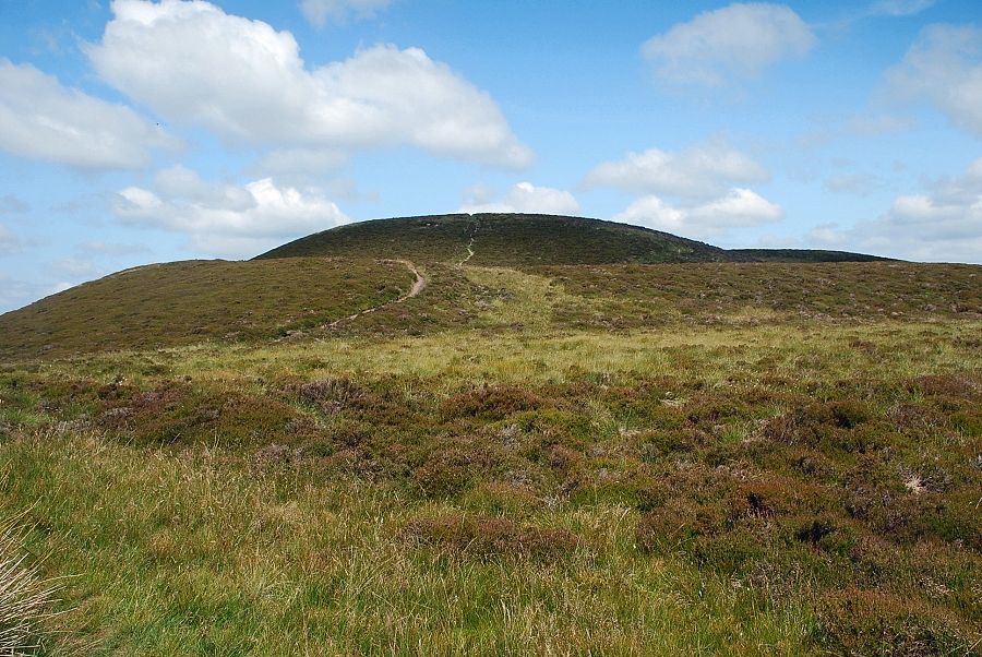
| Heading over to Brown How which is just under half a mile along the ridge from Whinlatter Top |
 |
| Hopegill Head from the ruined cross ridge wall |
 |
| Grisedale Pike and Hobcarton End from the ruined cross ridge wall |
 |
| Approaching the head of Willybrag Gill |
 |
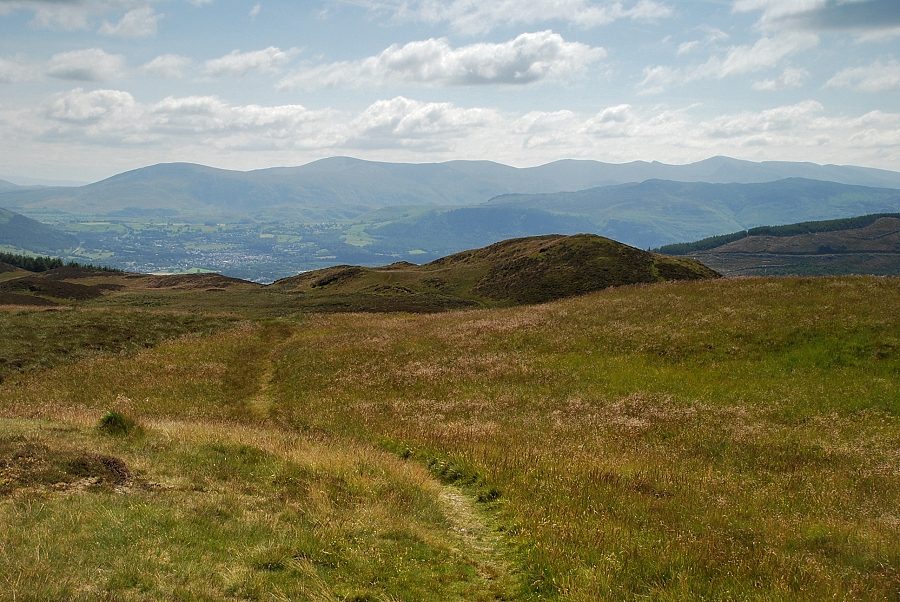
| Looking back to Skiddaw above Seat How at the head of the Aiken Beck Valley |
 |
| Approaching the summit of Brown How |
 |
| The summit shelter on Brown How |
 |
| Looking back from Brown How along the ridge to Whinlatter Top |
 |
| Grisedale Pike and Hobcarton End from Brown How |
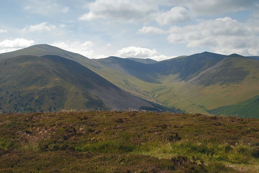 |
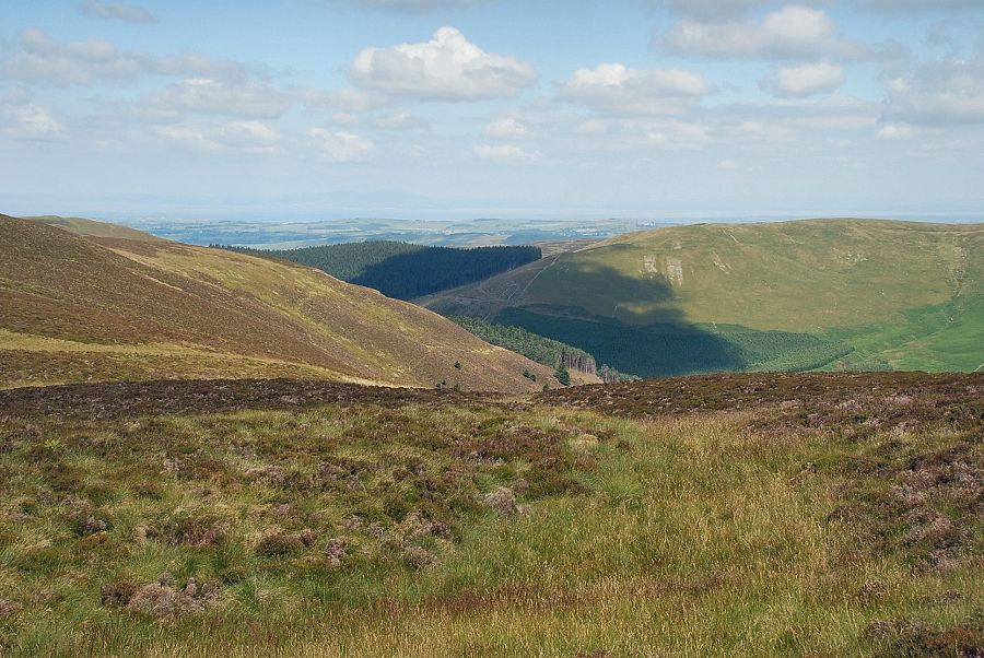
| The valley of Hobcarton Gill from Brown How |
 |
| The summits of Gavel Fell, Blake Fell and Burnbank Fell appear over the Swinside ridge |
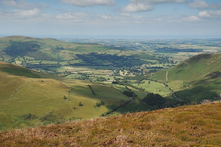 |
| The Vale of Lorton |
 |
| Looking north-east to the summit ridge of Graystones |
 |
| Broom Fell from Brown How |
 |
| Lord's Seat |
 |
| Skiddaw and Blencathra from Brown How |
