 |
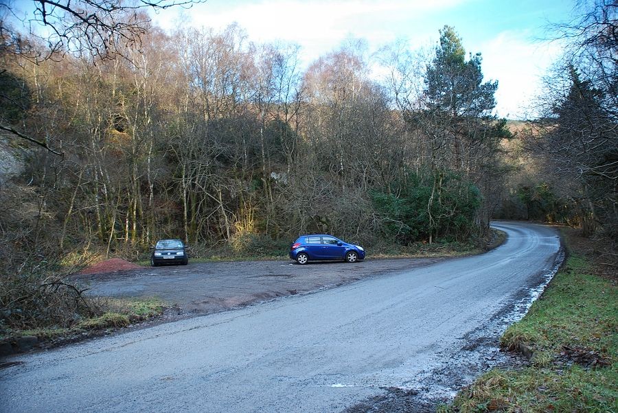
| A large parking area situated three quarters of a mile east of Santon Bridge on the road to Eskdale Green is the starting point for this walk |
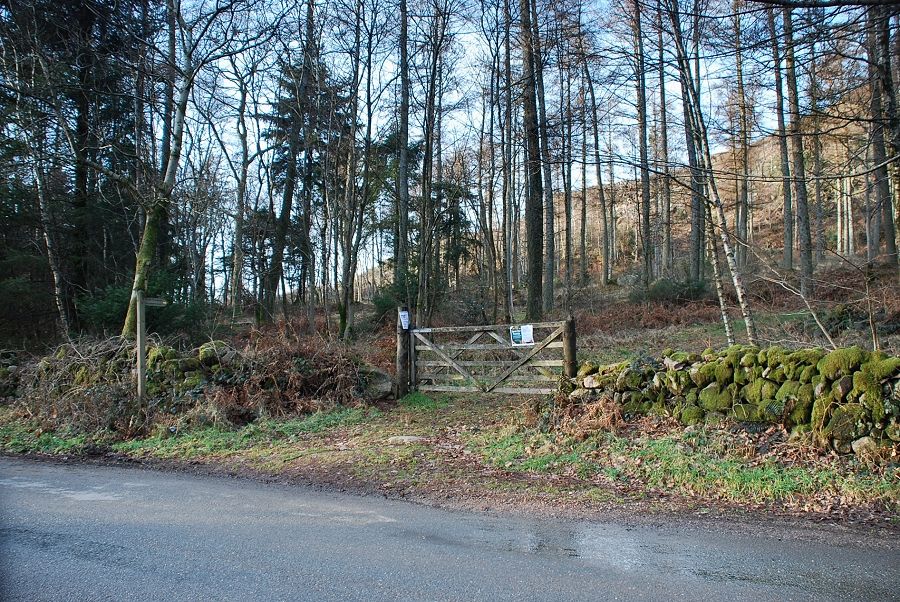 |
| A couple of hundred yards to the west of the parking area is the start of a seven mile long footpath to Wasdale Head |
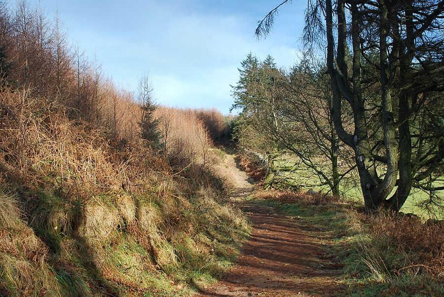 |
| The path initially climbs via a track through Ainhouse Plantation which forms part of the Miterdale Forest |
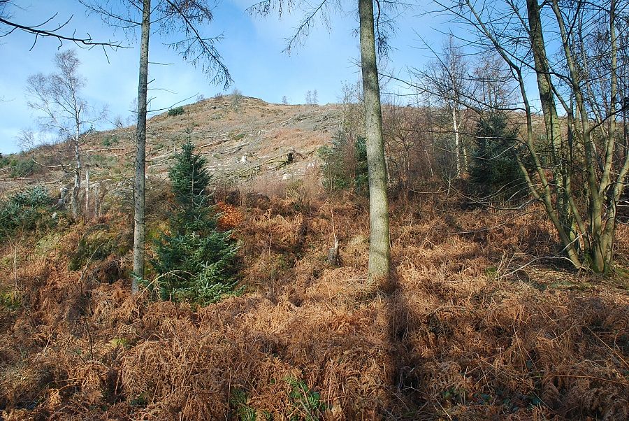 |
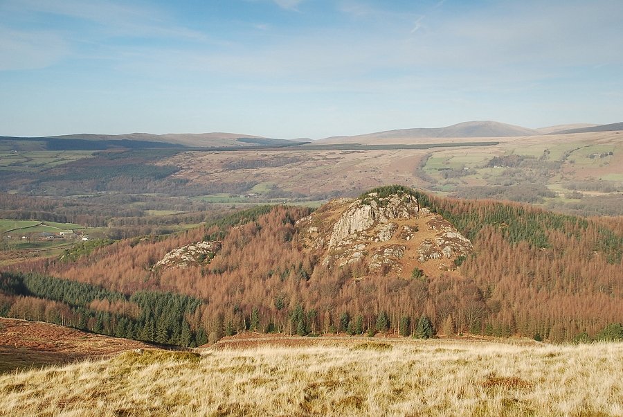
| Looking up to the summit of Irton Pike from the forest track. Much of its lower slopes have now been cleared of trees enabling a direct ascent on a path that starts further along the road towards Santon Bridge, near the Malkinson memorial stone |
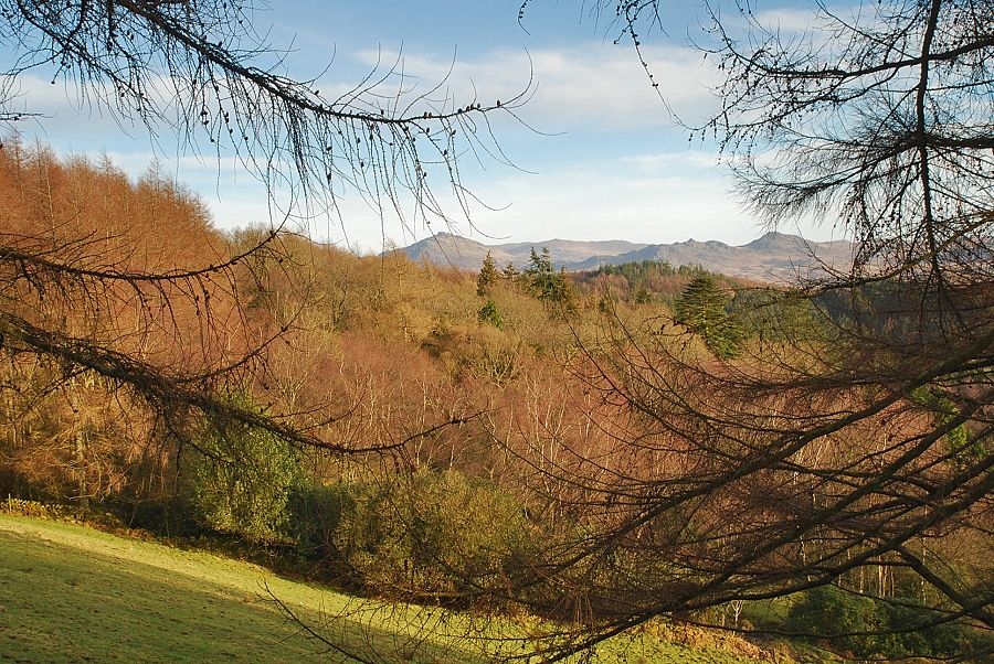 |
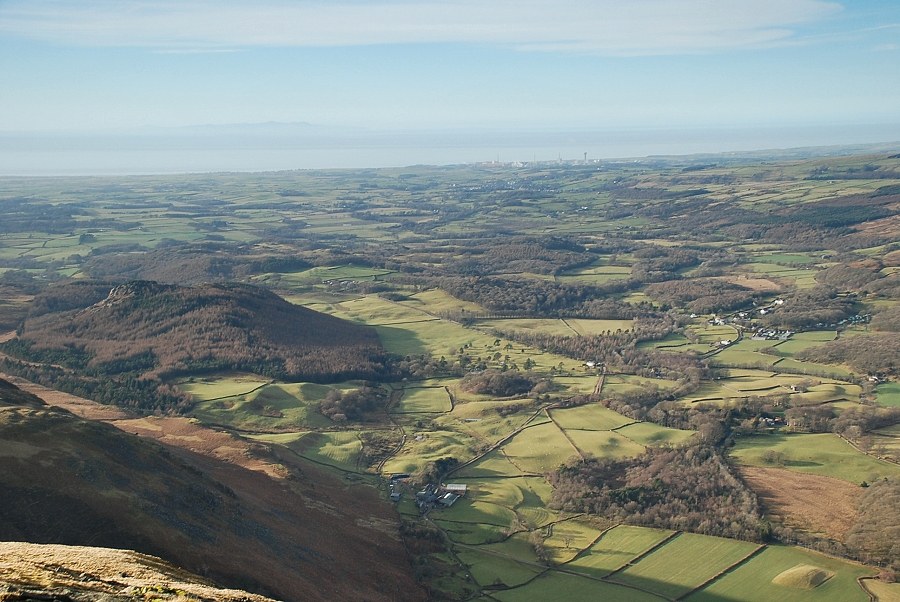
| A clearing in the forest affords a brief view of Harter Fell and Green Crag |
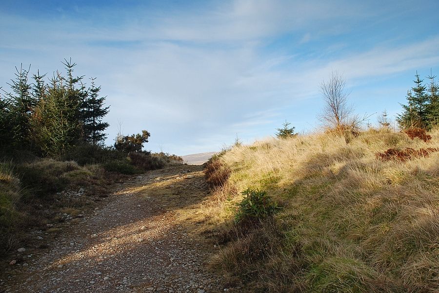 |
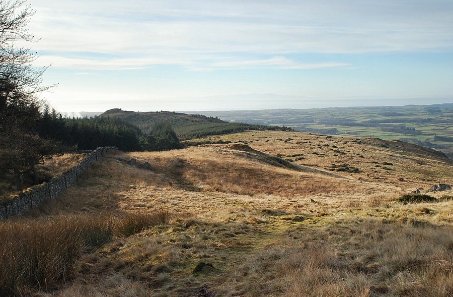
| A third of a mile from the roadside the forest track divides, the left branch soon reaches the edge of the forestry near the ridge line |
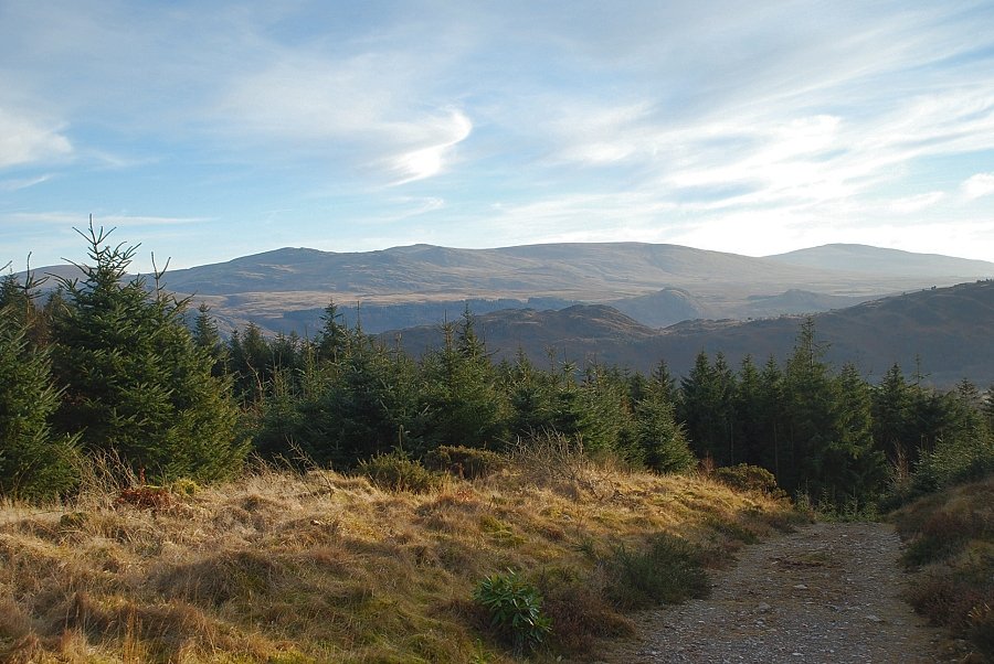 |
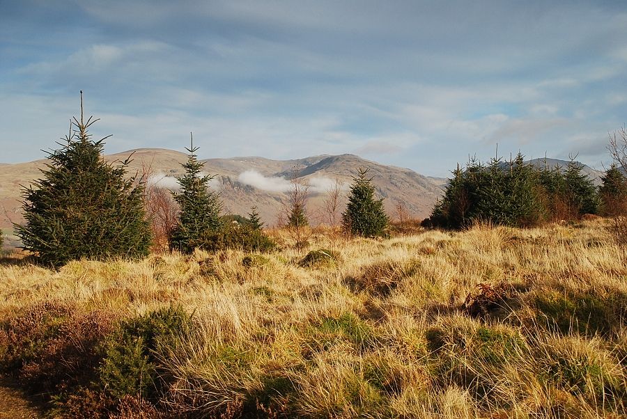
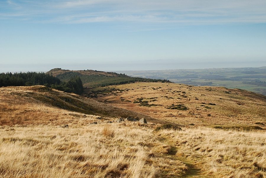
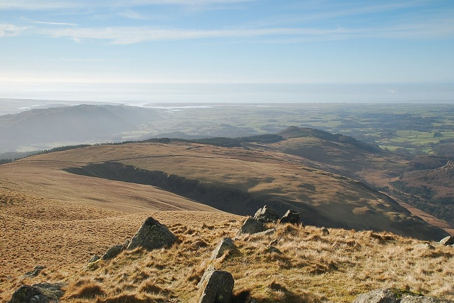
| Looking back from the top of the forest track to Hesk Fell, Woodland Height, Yoadcastle, Kinmont Buckbarrow and Black Combe on the skyline |
 |
| The first view of Whin Rigg |
 |
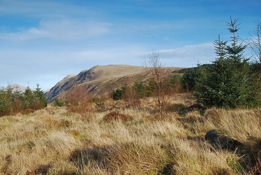
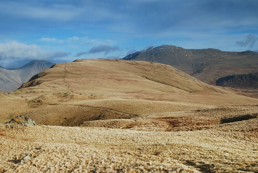
| Seatallan, Haycock and Middle Fell from the top of the forest track |
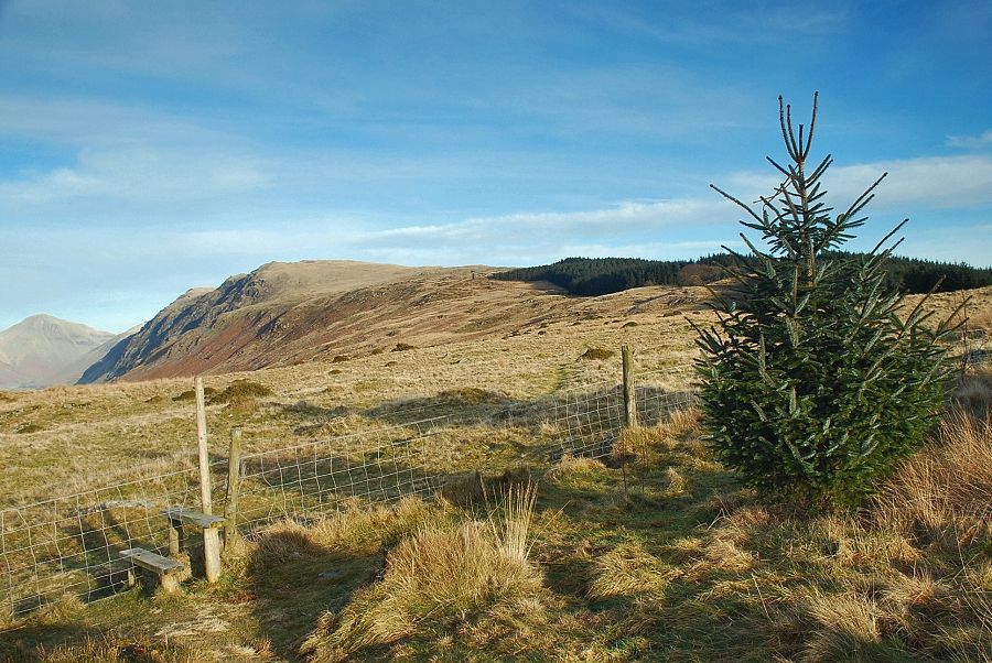 |
| A simple stile in the forest boundary fence gives access to the path leading along the Irton Fell ridge |
 |
| Looking left to Latterbarrow Crag backed by Seatallan and Buckbarrow |
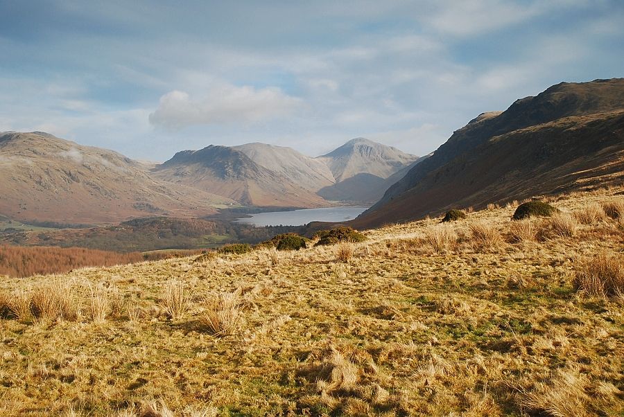 |
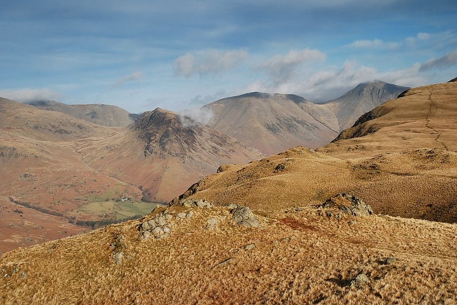
| Wastwater backed by Yewbarrow, Kirk Fell and Great Gable |
 |
| Looking left down the slopes of Mecklin Park to Latterbarrow |
 |
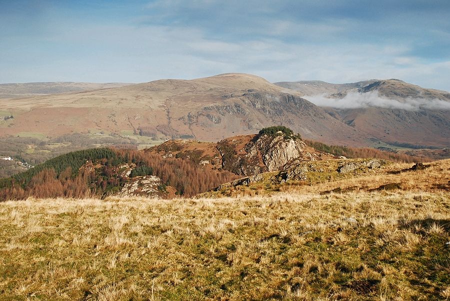
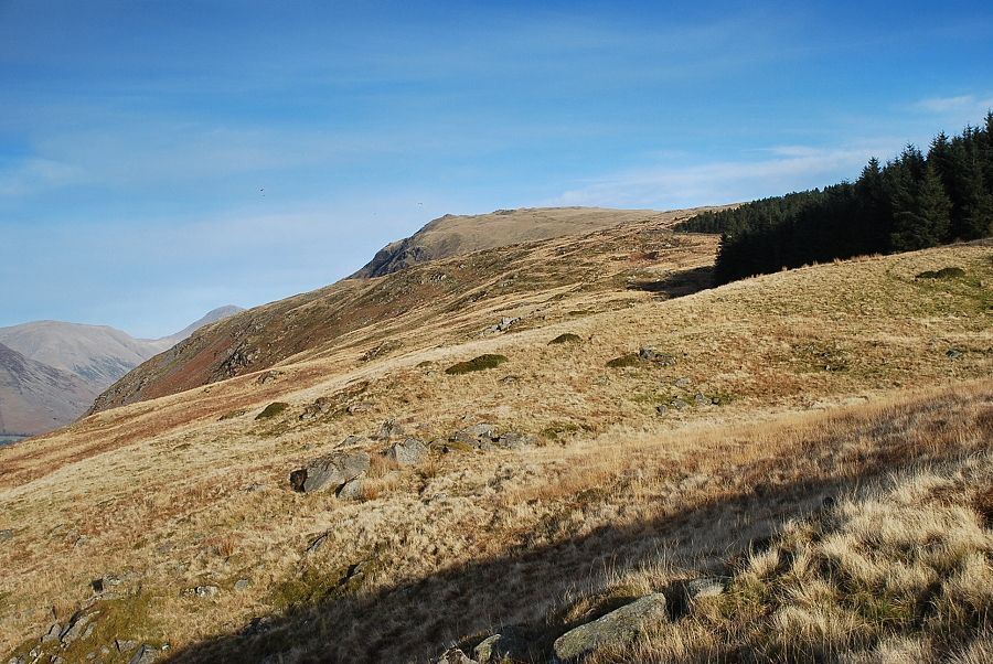
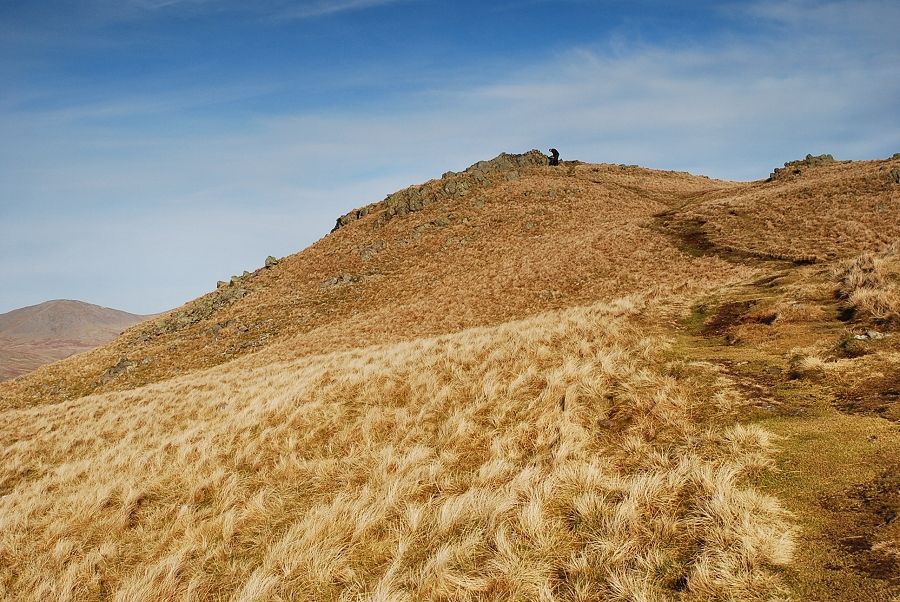
| Looking back from the slopes of Irton Fell. The summit of Irton Pike is on the left centre |
 |
| Whin Rigg from Irton Fell |
 |
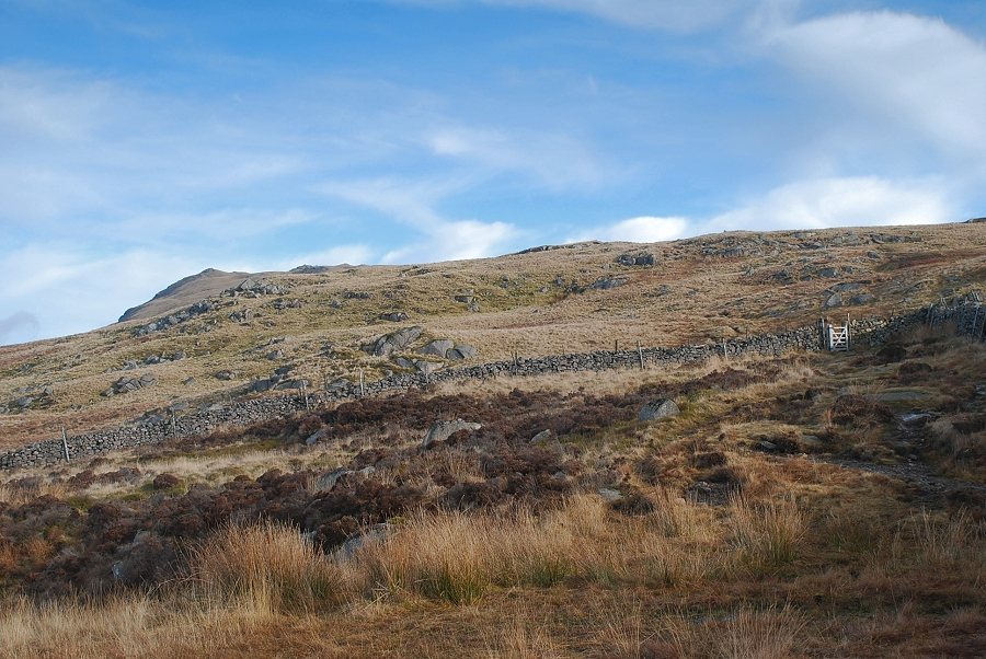
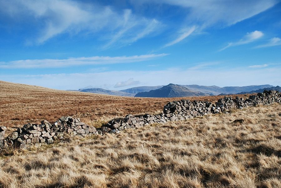
| Higher on Irton Fell the path crosses the line of the bridleway between Eskdale Green and Nether Wasdale which emerges from Miterdale Forest and then follows the forestry wall for a short distance |
 |
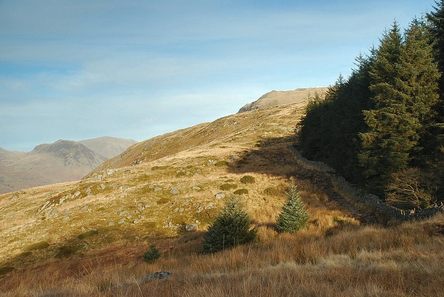
| Looking back from near the Eskdale Green ~ Nether Wasdale bridleway |
 |
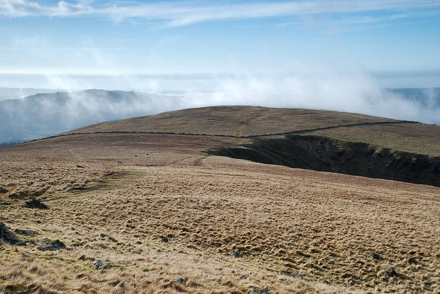
| The path rises steadily to a gate in the cross ridge wall and then continues onto the more open upper slopes of Irton Fell |
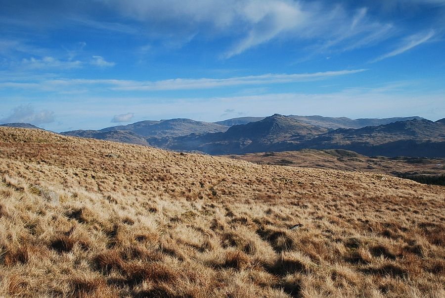 |
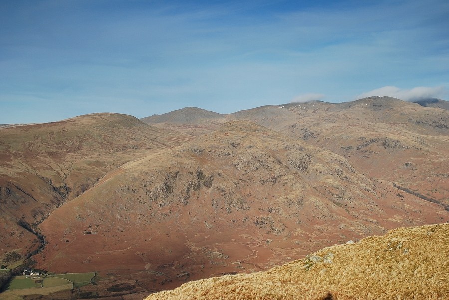
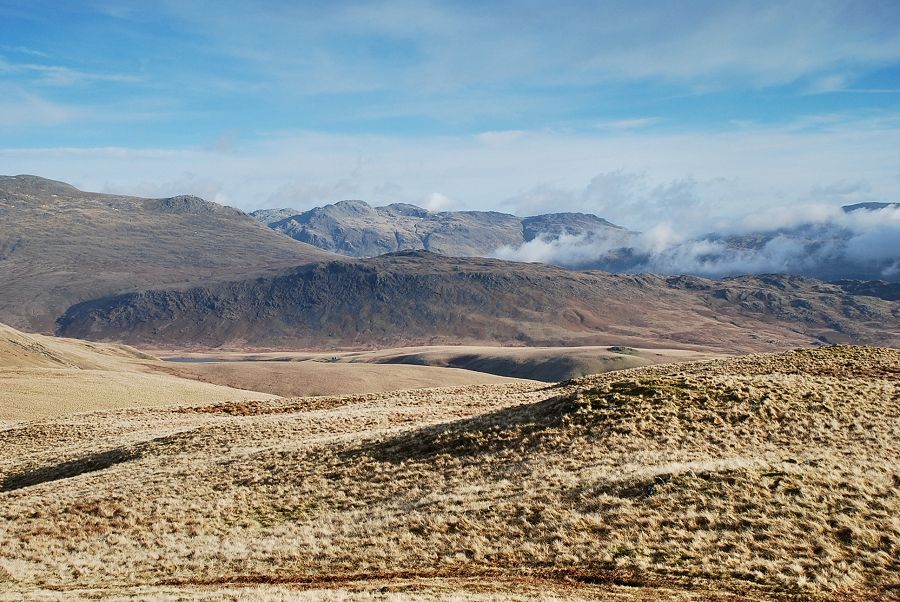
| Looking across to Harter Fell backed by the Coniston Fells |
 |
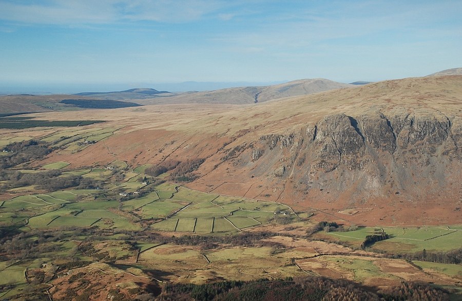
| Approaching the ravine of Greathall Gill |
 |
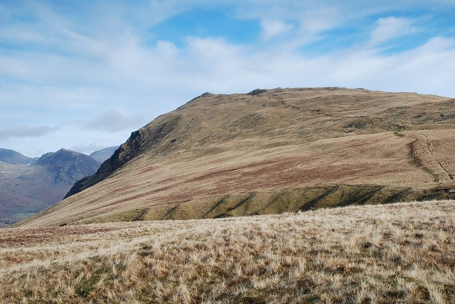
| Harter Fell from the broken wall near the head of Greathall Gill |
 |
| Crossing the head of Greathall Gill |
 |
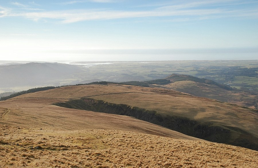
| Looking back from the lower slopes of Whin Rigg to Greathall Gill and the top of Irton Fell |
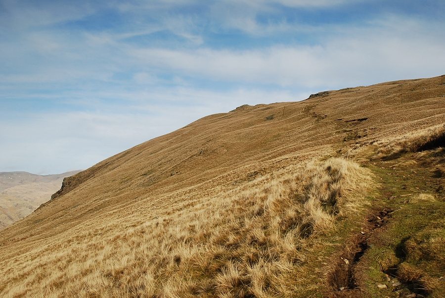 |
| On the final climb to the summit across the slopes of the north-west ridge |
 |
| Looking back to Irton Fell and Irton Pike from the north-west ridge of Whin Rigg |
 |
| Approaching the summit of Whin Rigg |
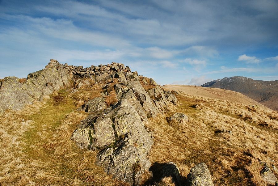 |
| The summit cairn and wind shelter |
 |
| Hesk Fell, Whit Fell and Black Combe from the summit of Whin Rigg |
 |
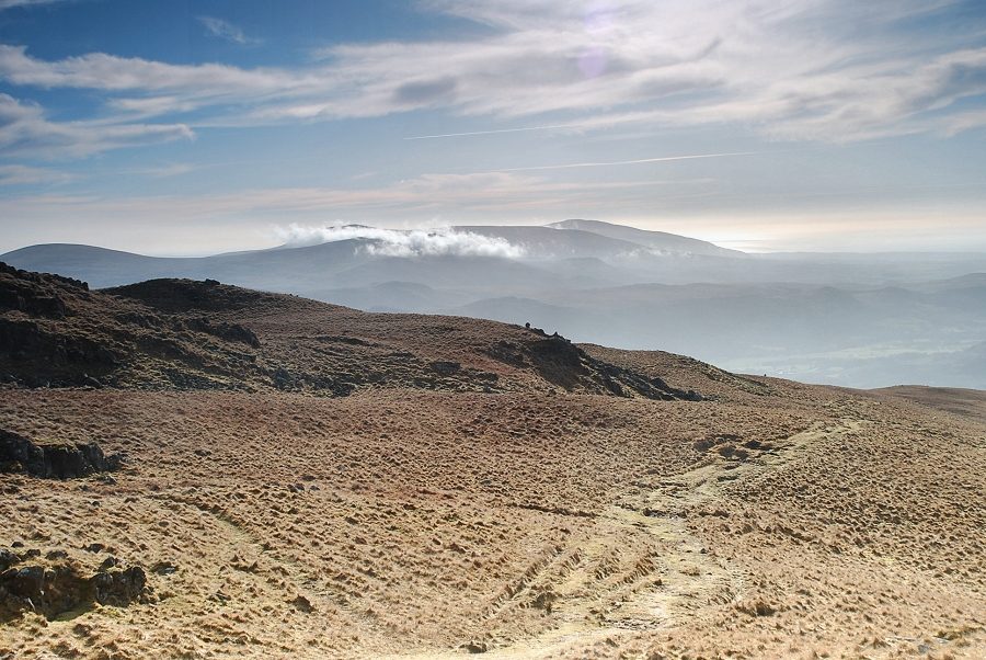
| Looking south-west along the route taken to the summit |
 |
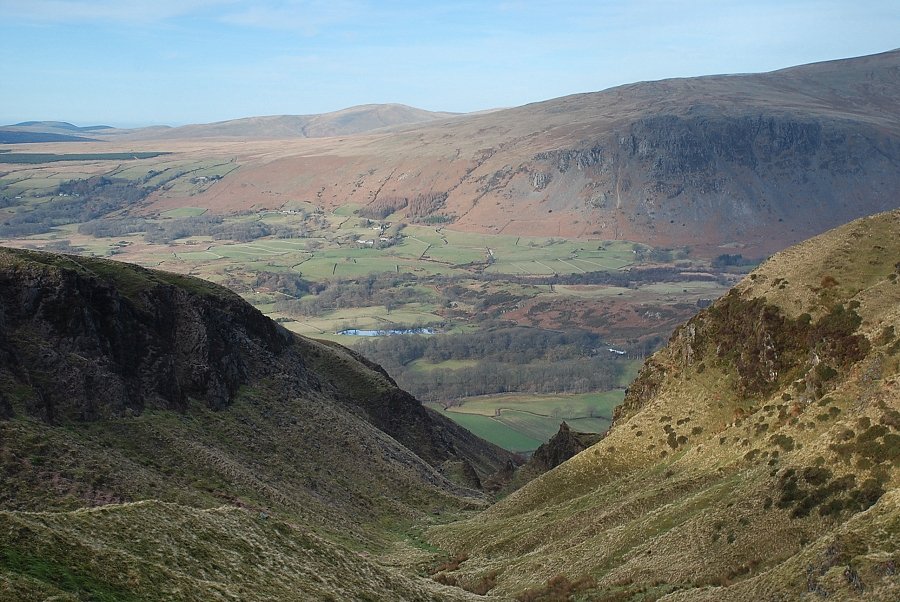
| Looking down to Nether Wasdale from the summit of Whin Rigg |
 |
| The crags of Buckbarrow across the valley |
 |
| Middle Fell in the centre with Seatallan, Haycock, Scoat Fell, Red Pike and Pillar on the skyline |
 |
| Pillar, Yewbarrow, Kirk Fell and Great Gable |
 |
| The connecting ridge to Illgill Head with Scafell on the right |
 |
| Great How in the middle distance backed by Crinkle Crags and Little Stand |
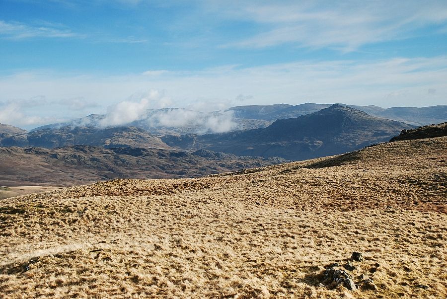 |
| Harter Fell and the Coniston Fells |
