 |
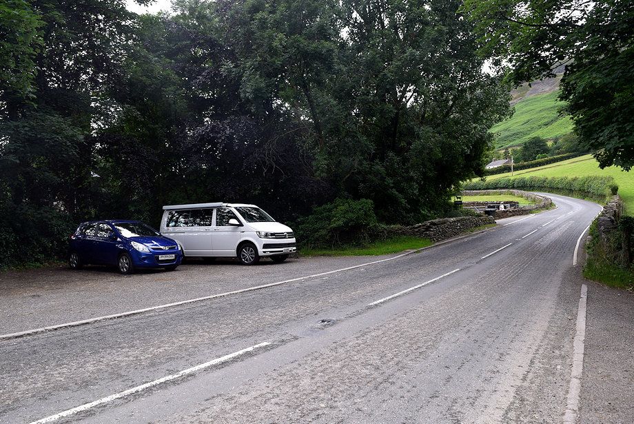
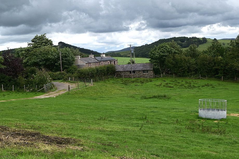
| The walk starts from a parking area at Beckside Farm on the A595 road |
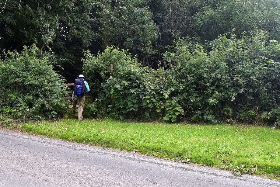 |
| A gate to the left of the farm gives access to a field path which is a Right of Way |
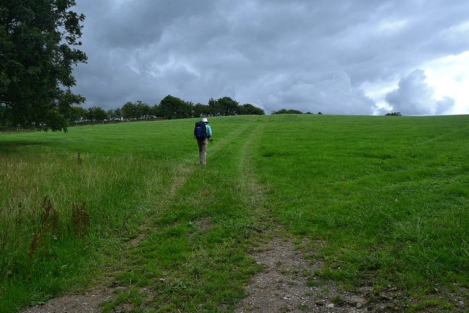 |
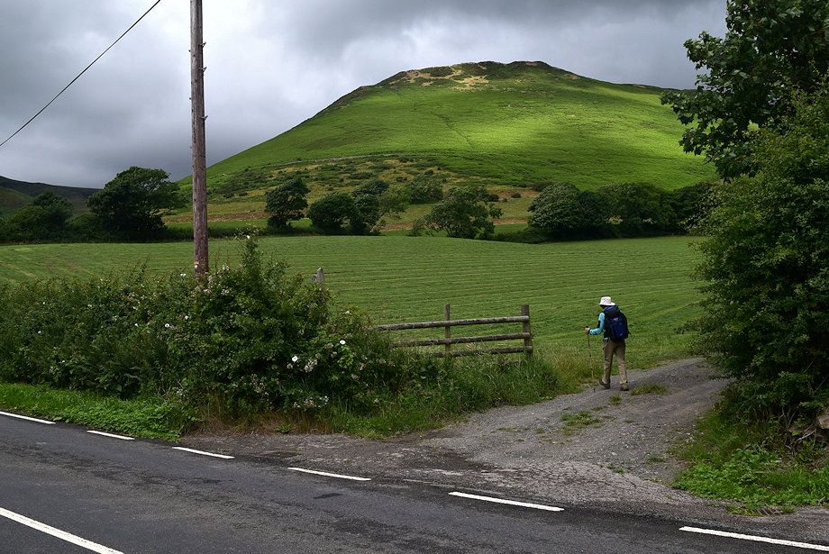
| The path over Cross Bank avoids the danger of walking back along the A595 |
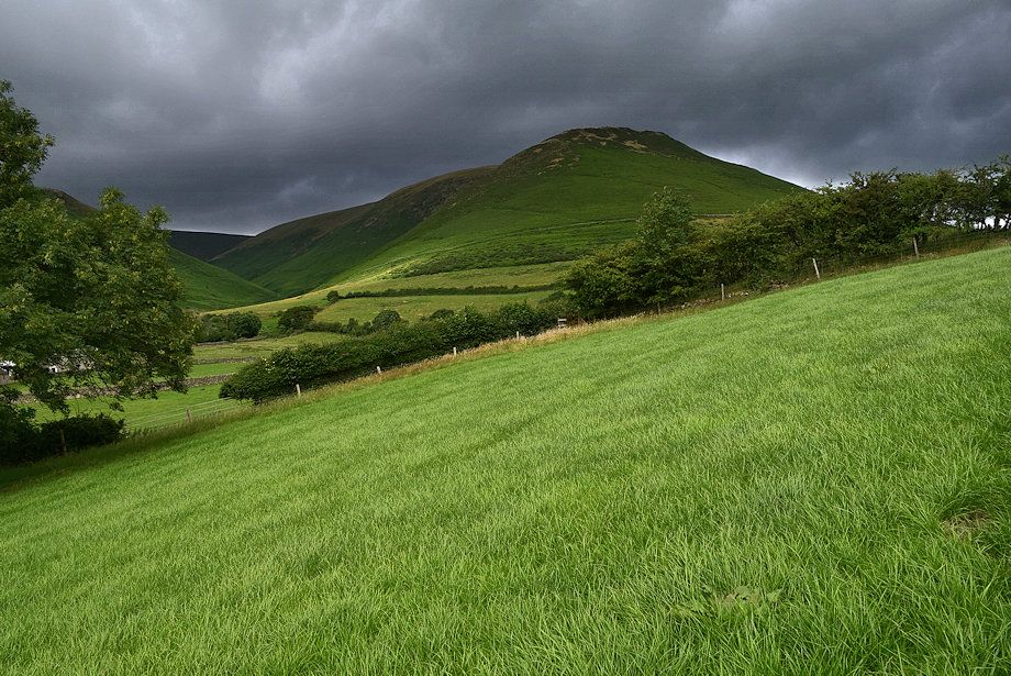 |
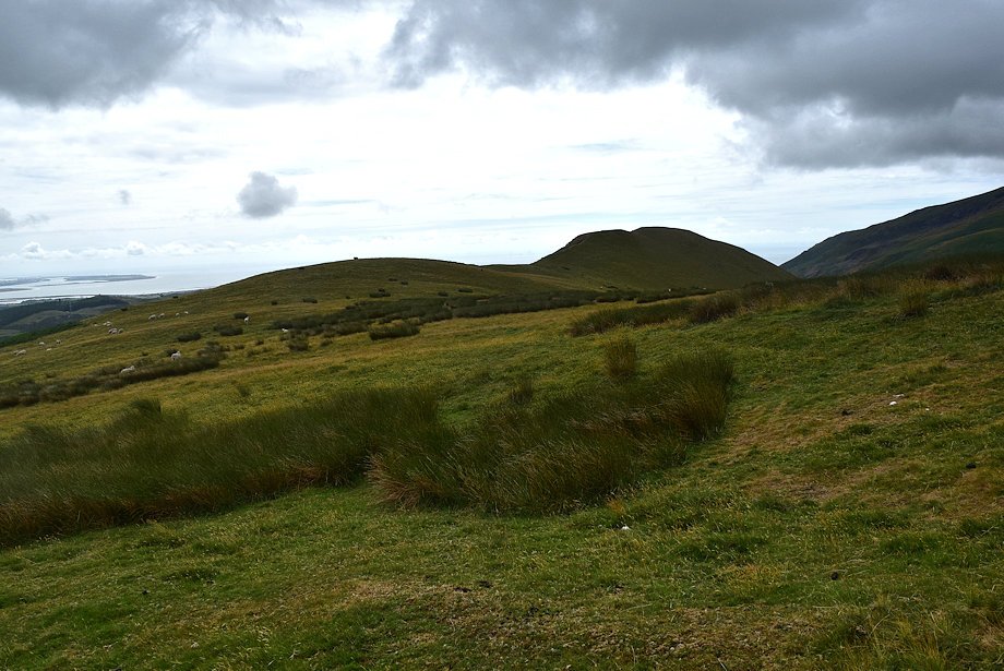
| Looking over towards White Hall Knott and White Combe |
 |
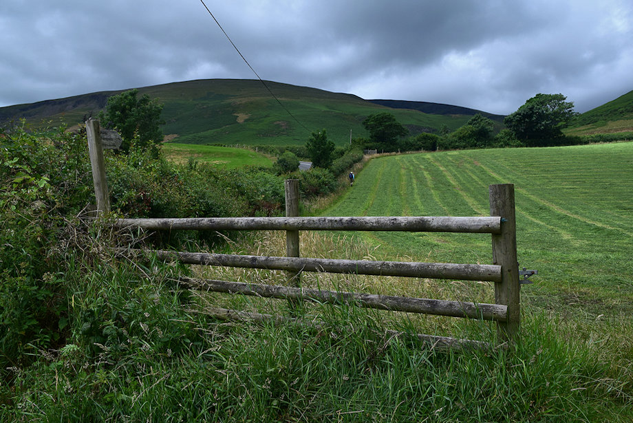
| The path rejoins the A595 at the Fox and Goose Cottages |
 |
| Another ROW footpath starts to the left of the cottages |
 |
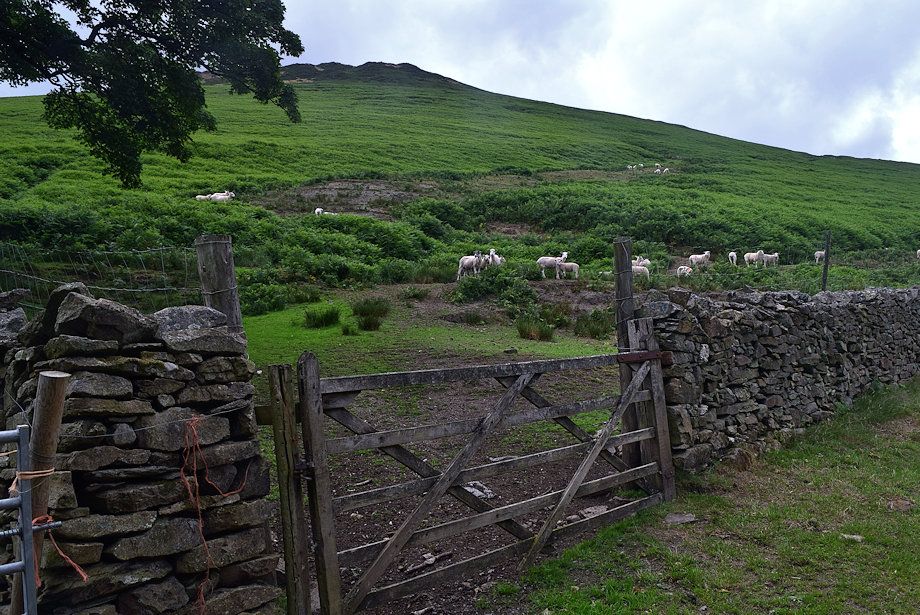
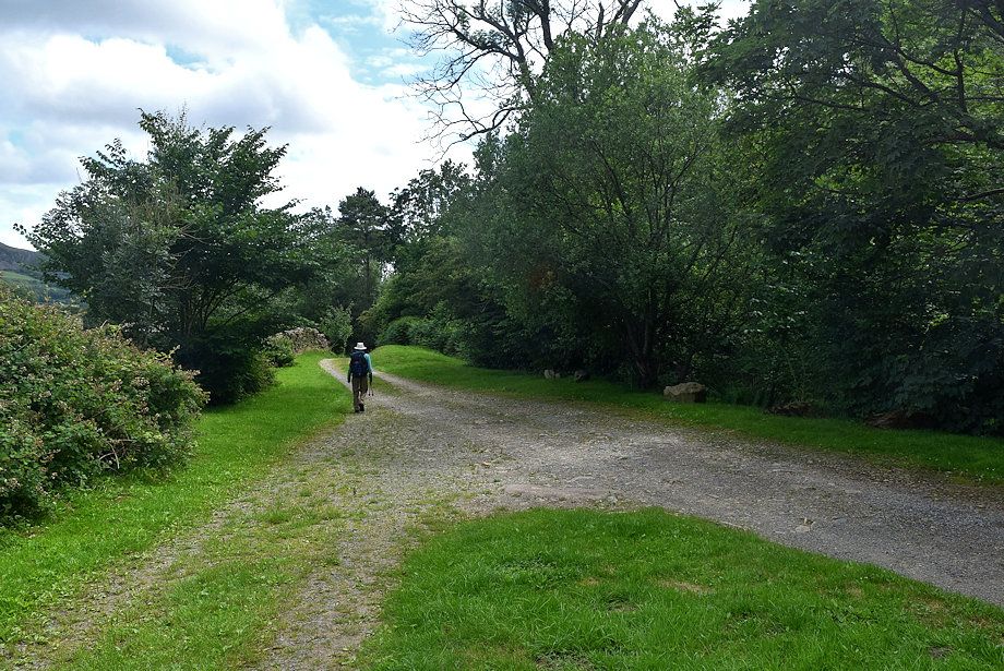
| The footpath rises to a gate at the top of the field which gives access to a sunken lane which runs between the hedgerows |
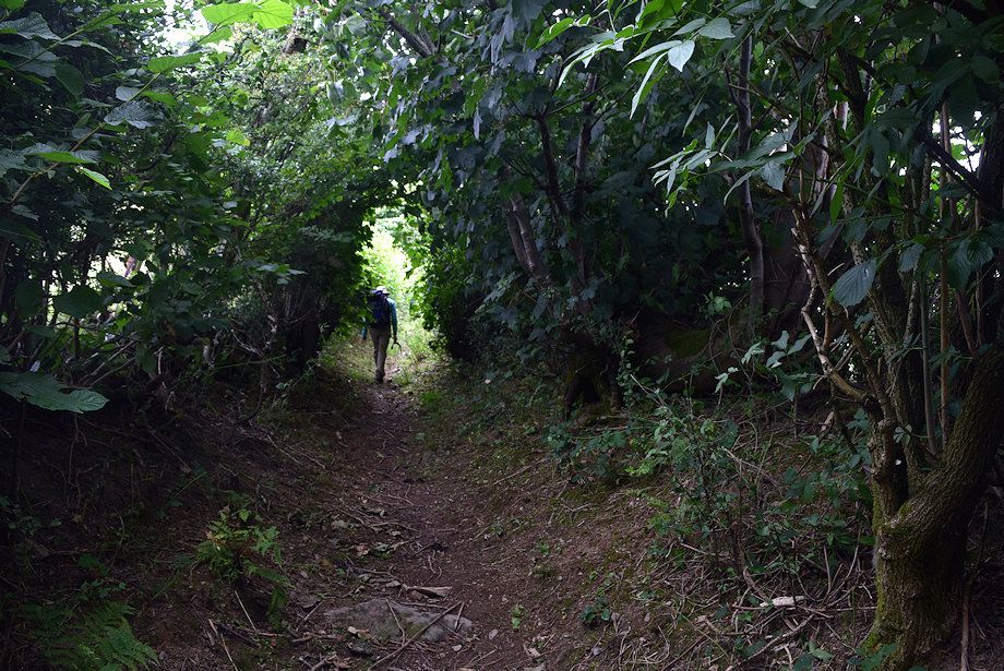 |
| The sunken lane |
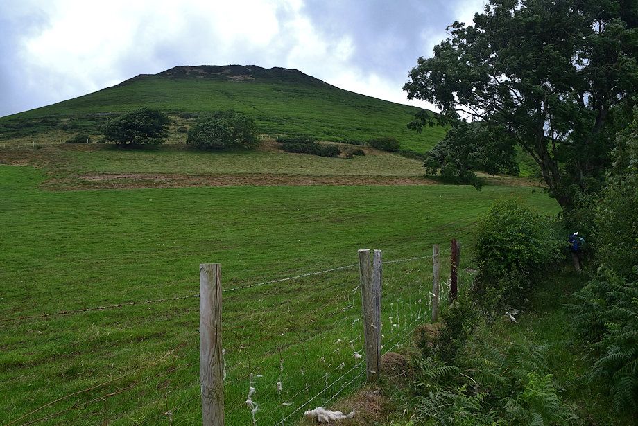 |
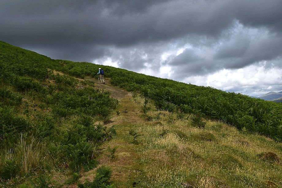
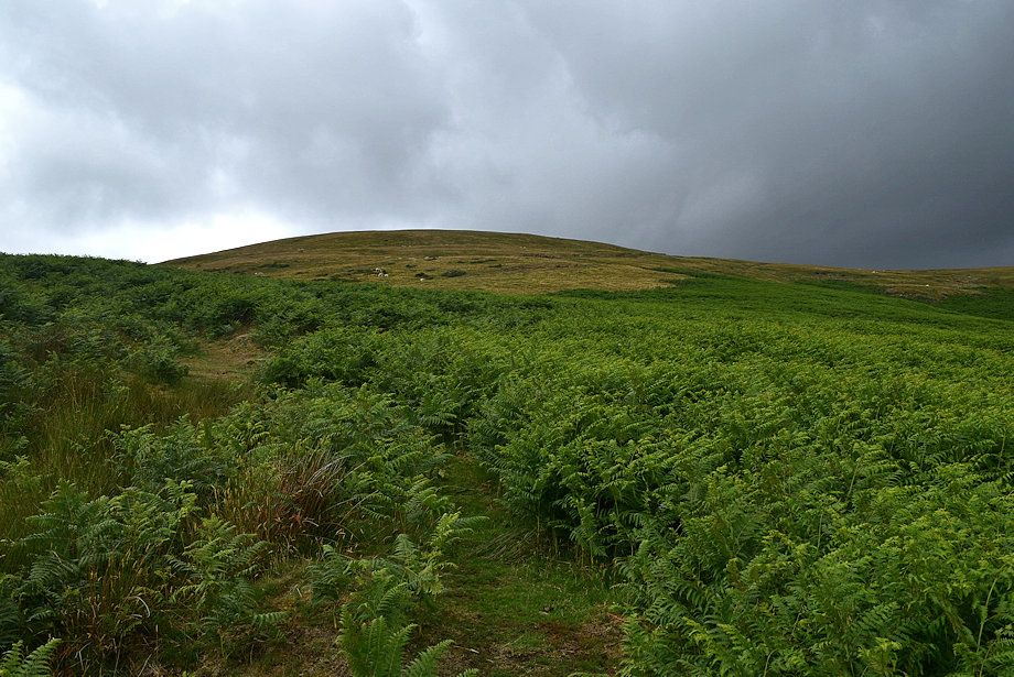
| White Hall Knott comes into view on emerging from the trees |
 |
| A gate gives access to the open fellside below White Hall Knott |
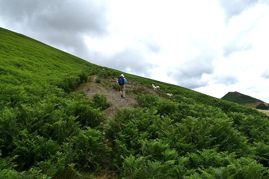 |
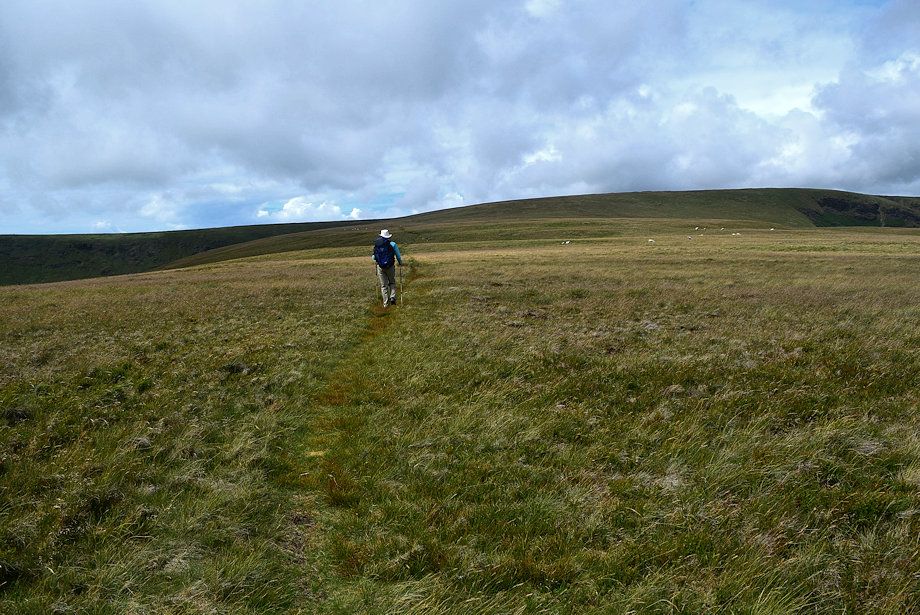
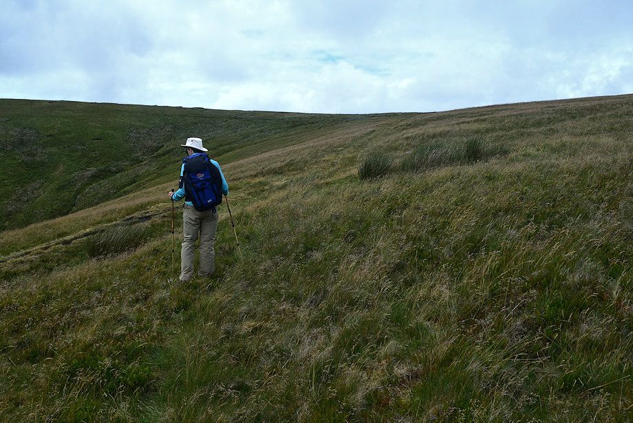
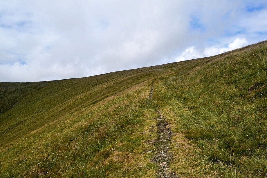
| Above the gate a droveway path begins a rising traverse across the southern slopes of White Hall Knott |
 |
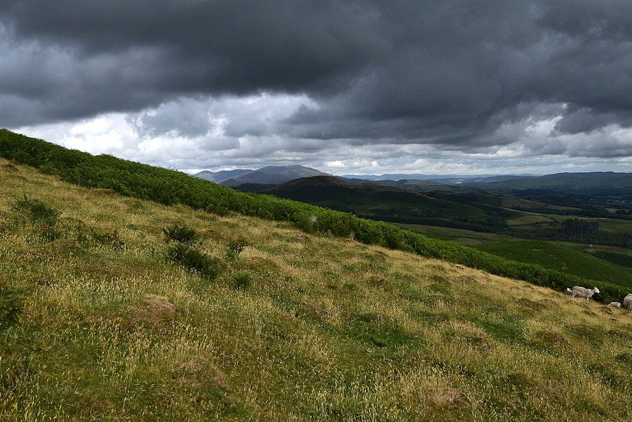
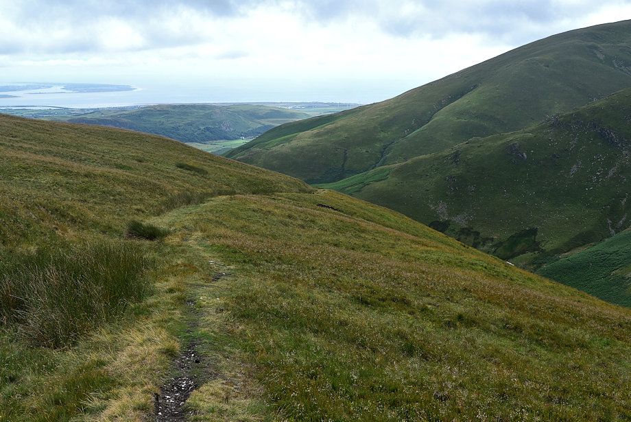
| The upper Whicham Valley from the droveway |
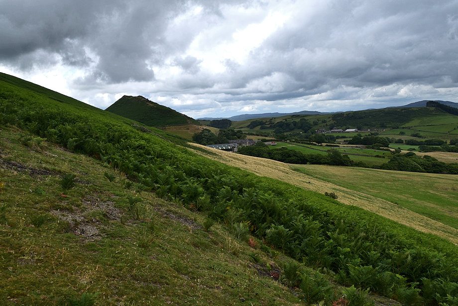 |
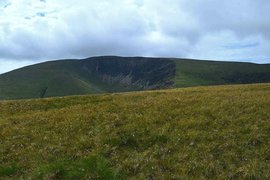
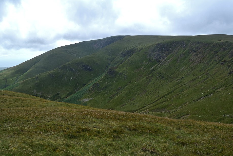
| Hook Knott across the slopes of White Hall Knott |
 |
| Millom Park across the Whicham Valley |
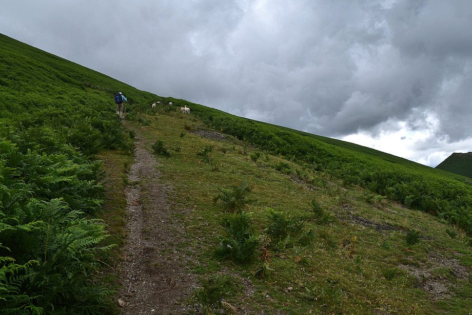 |
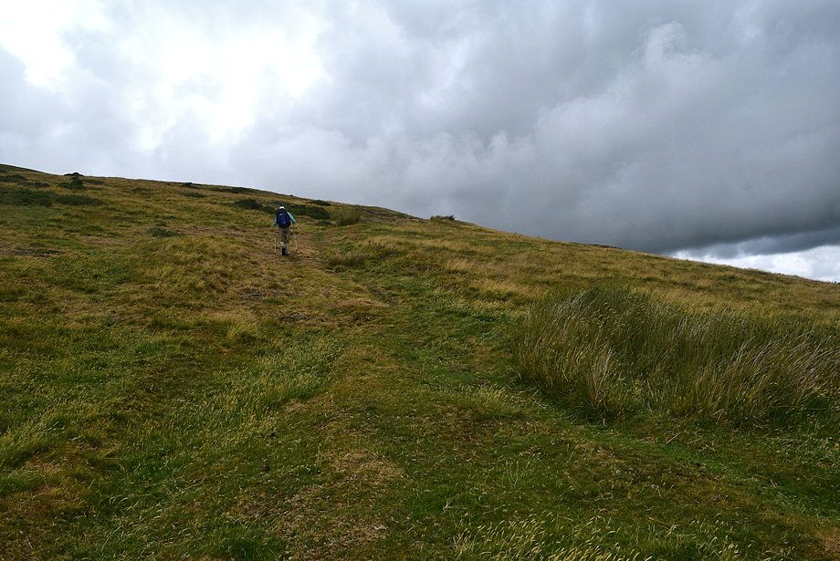
| Midway along the droveway path |
 |
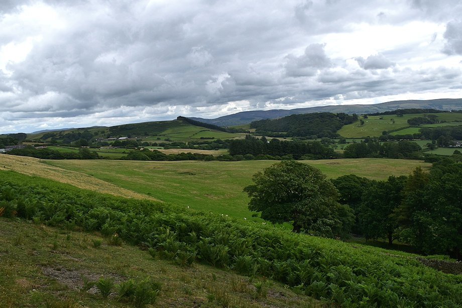
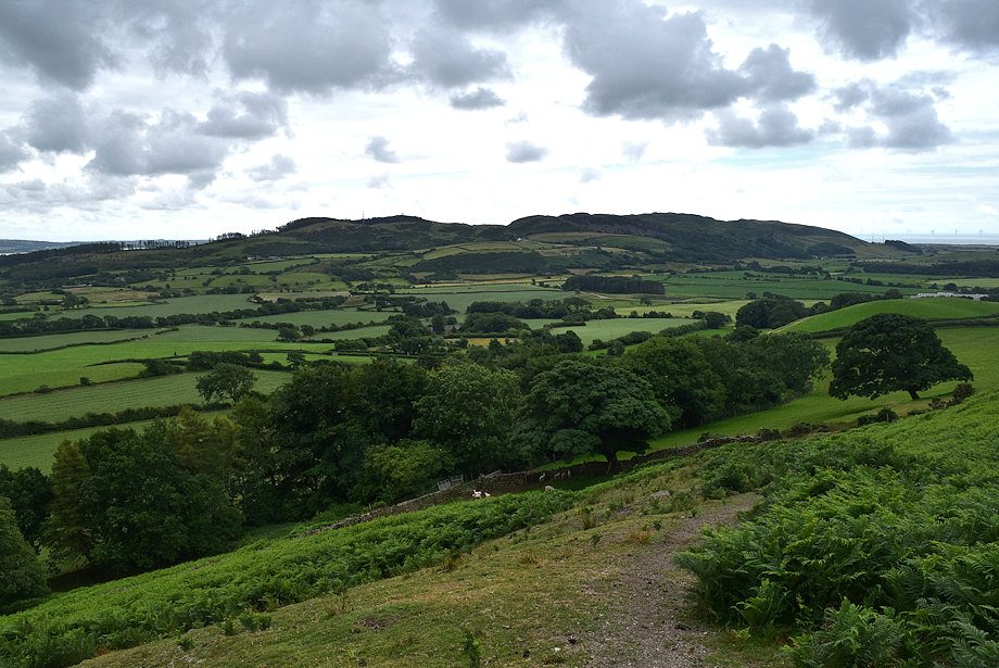
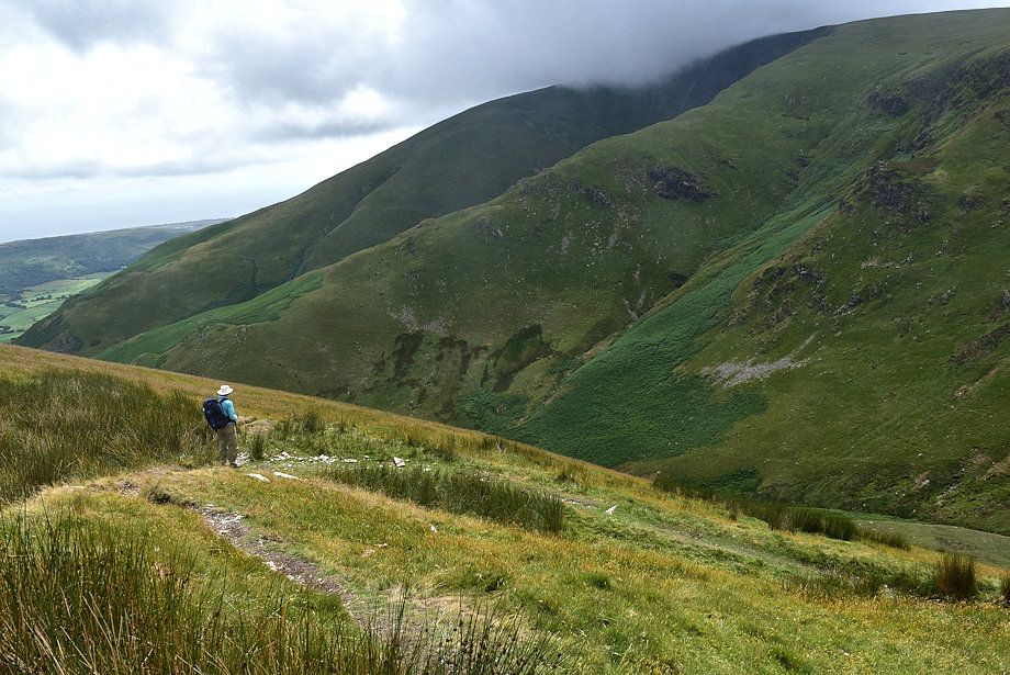
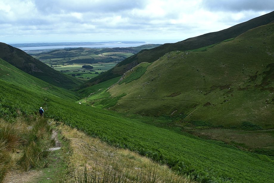
| Looking back along the lower part of the Whicham Valley |
 |
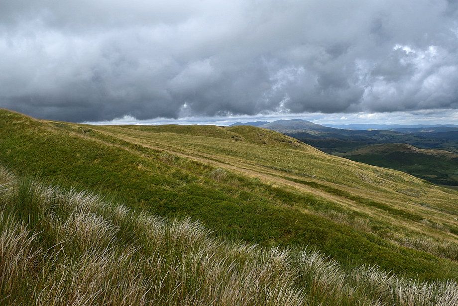
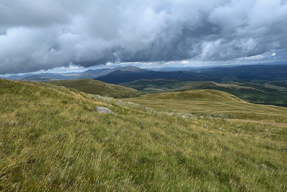
| The Coniston Fells come into view |
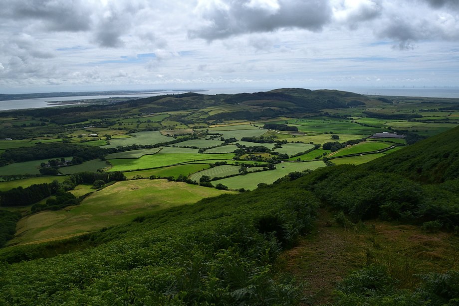 |
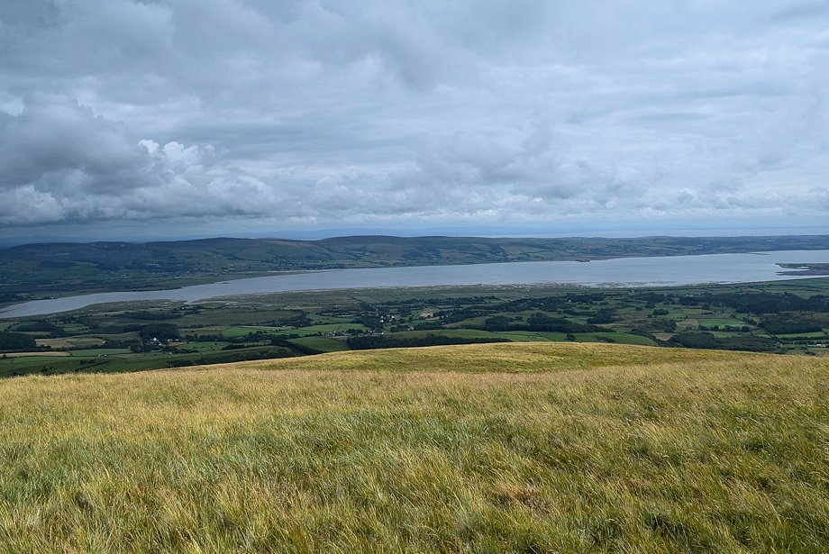
| The Duddon Estuary and Millom Park |
 |
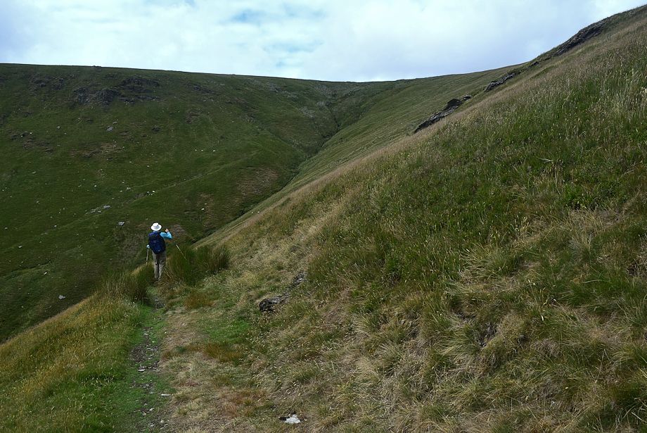
| At the end of the long rising traverse the droveway turns slightly to the west before climbing up to a shoulder behind White Hall Knott |
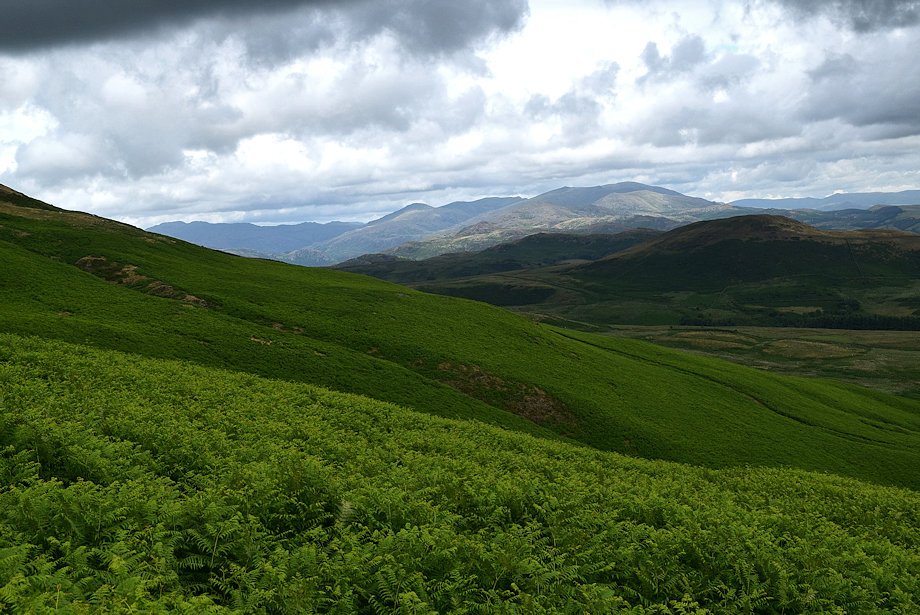 |
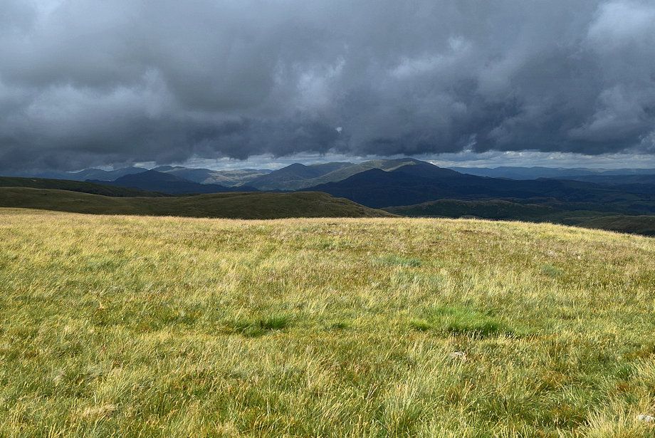
| The Coniston Fells |
 |
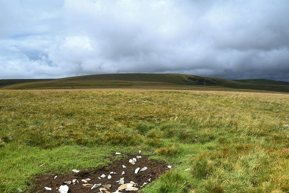
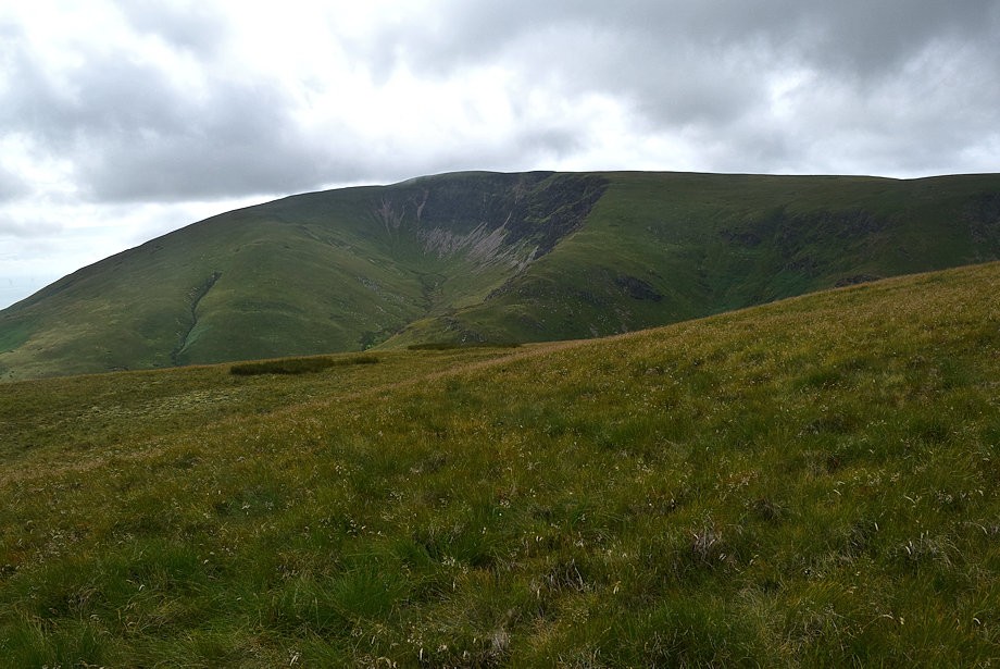
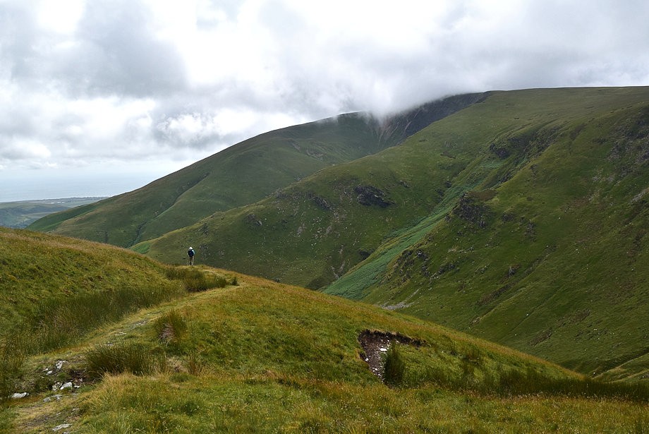
| The summit ridge of White Combe comes into view |
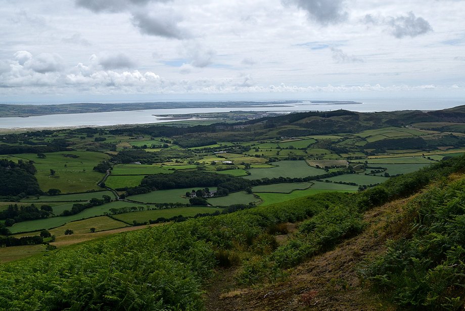 |
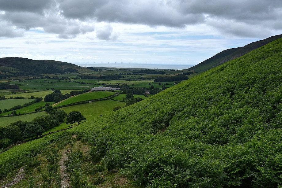
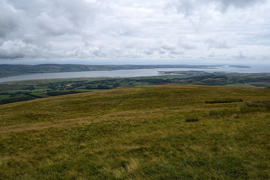
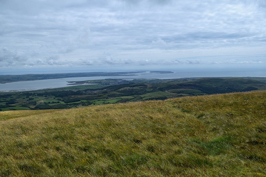
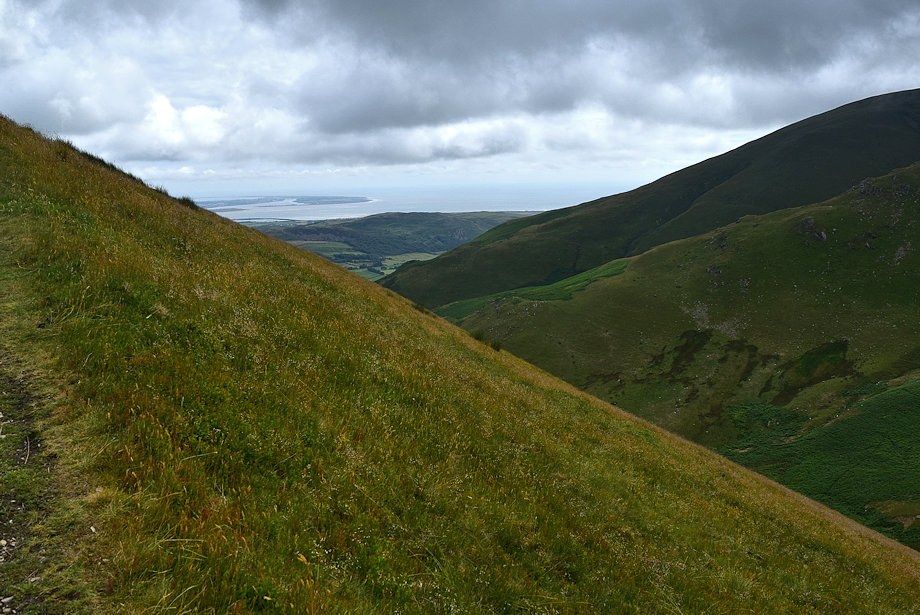
| The Duddon Estuary and Walney Island |
 |
| The droveway passes to the east of White Combe's summit. Look for very faint path which turns off it to the left and heads directly towards the summit |
 |
| Black Combe from the climb to White Combe |
 |
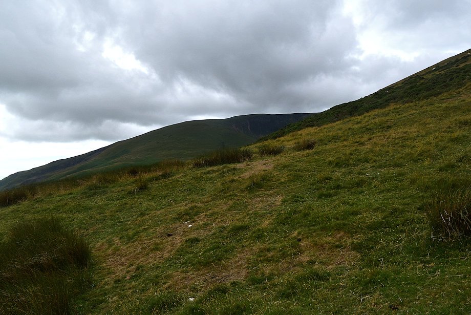
| White Hall Knott from the climb to White Combe |
 |
| The Coniston Fells over the summit ridge of Gray Stones |
 |
| The Duddon Estuary from the path to White Combe |
 |
| Approaching the summit of White Combe |
 |
| The Coniston Fells from just below the summit of White Combe |
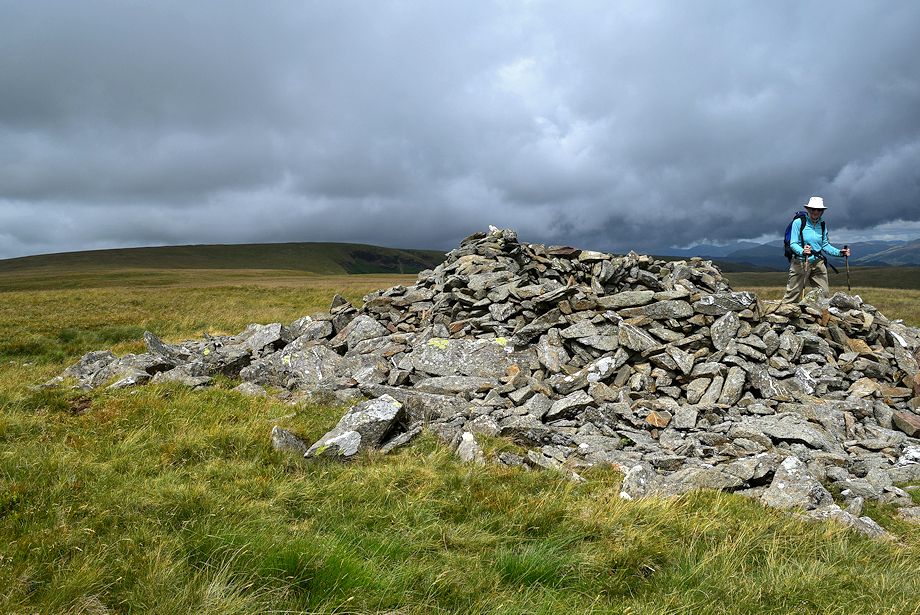 |
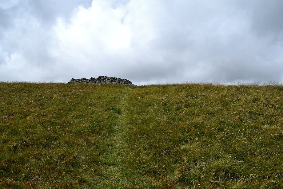
| The summit cairn on White Combe |
 |
| A few yards to the west of the main cairn is another tiny one |
 |
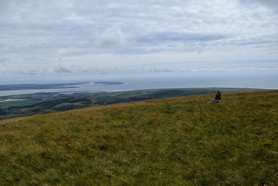
| The Furness Peninsula across the Duddon Estuary from the summit of White Combe |
 |
| Walney Island from the summit of White Combe |
 |
| Black Combe from the summit of White Combe |
 |
| Stoupdale Head from the summit of White Combe |
 |
| The Coniston Fells from the summit of White Combe |
 |
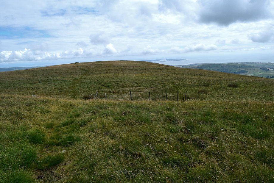
| We continue on from the summit cairn towards Whitecombe Head |
 |
| Black Combe from the path to Whitecombe Head |
 |
| Looking back to the summit of White Combe |
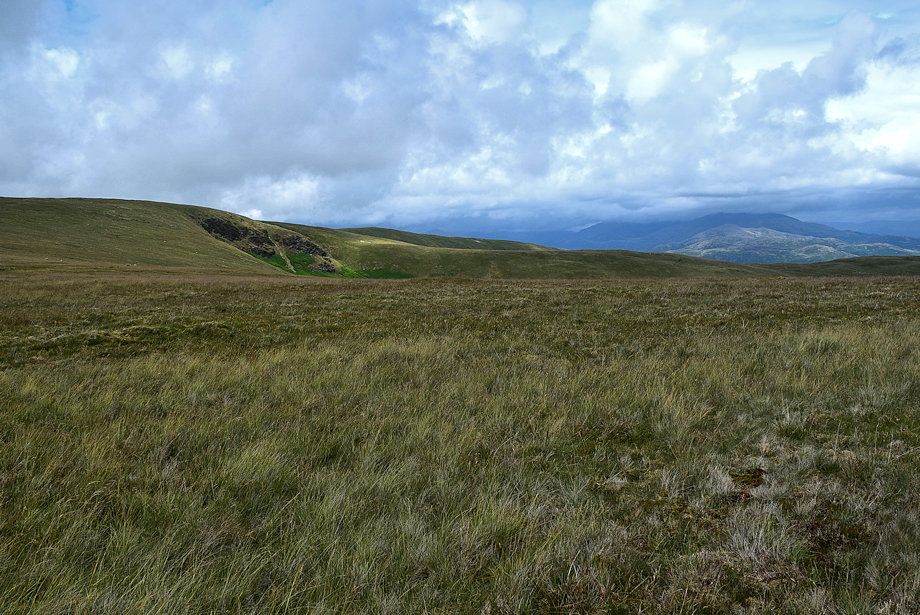 |
| Looking over to Stoupdale Crags. The path to Whitecombe Head divides, take the left branch which will intercept a clear path rising out of the Whitecombe Beck valley |
 |
| Joining the Whitecombe Beck valley path |
 |
| The path leading down to the Whitecombe Beck valley |
 |
| Black Combe across the Whitecombe Beck valley |
 |
| The path is another droveway similar to the one used for the ascent |
 |
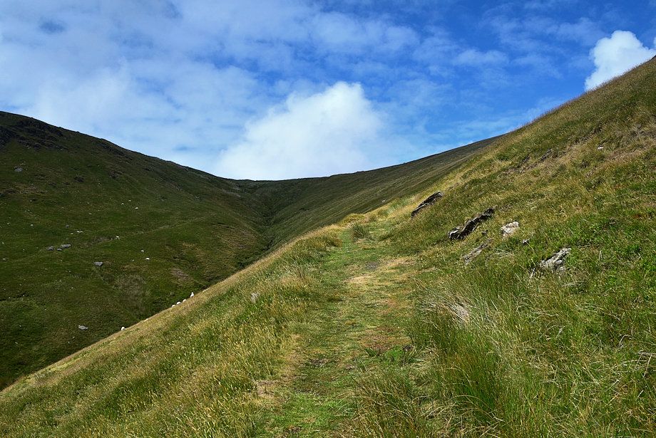
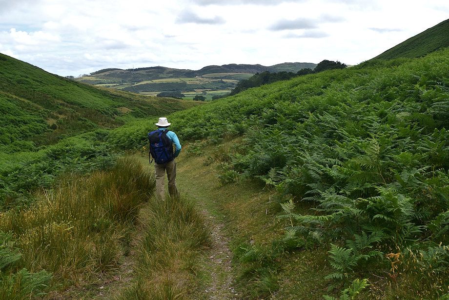
| Looking back along the upper section of the path |
 |
| After descending for 250 yards the path begins to zig zag down a steeper slope |
 |
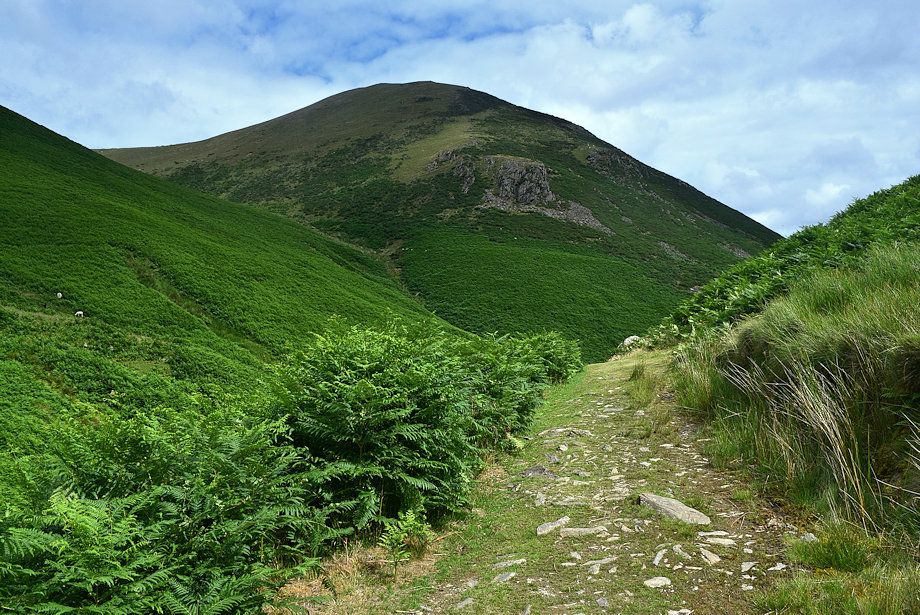
| Whitecombe Head from the steep descent |
 |
| Looking across the steep slope towards Walney Island |
 |
| The path turns again and continues down towards the Horse Back ridge to cross a footbridge over Whitecombe Beck |
 |
| Looking back to Whitecombe Head |
 |
| Looking down on the footbridge at the foot of Horse Back ridge |
 |
| Hentoe Hill from the path down to the footbridge |
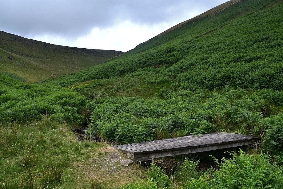 |
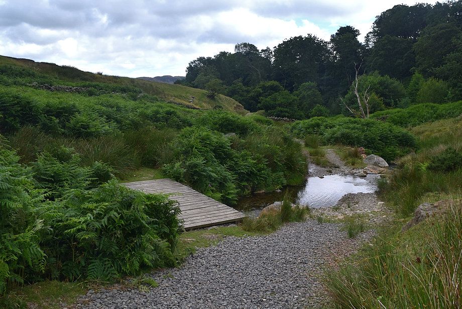
| The footbridge over Whitecombe Beck |
 |
| Looking down the valley from the footbridge |
 |
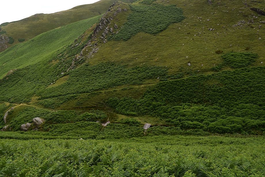
| Swine Crag on Whitehall Knott |
 |
| Millom Park from near the the foot of the valley |
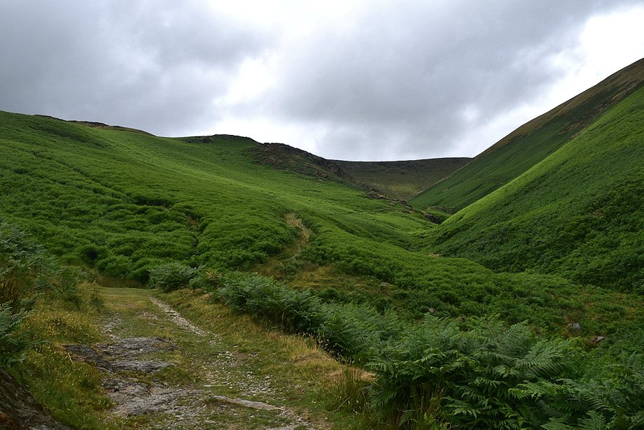 |
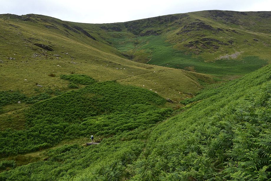
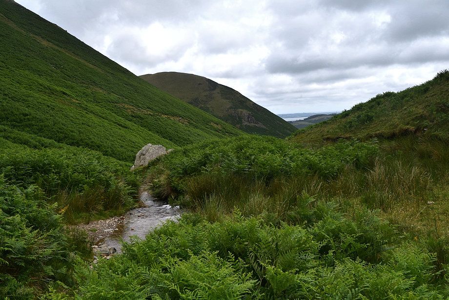
| Looking back along the Whitecombe Beck valley |
 |
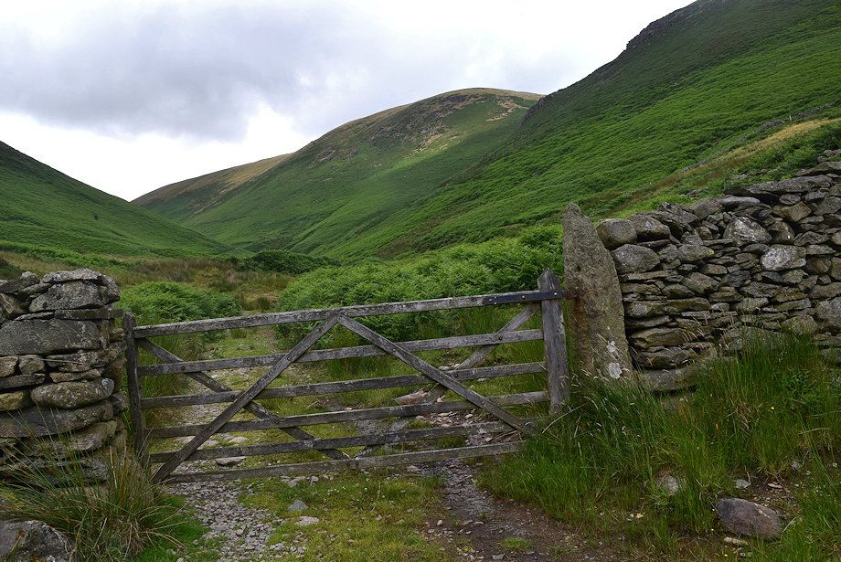
| The path re-crosses Whitecombe Beck to a gate which marks the limit of the Open Access Land |
 |
| Looking back to White Combe from the Open Access land gate |
 |
| A stile gives access to a farm track above Whicham Mill |
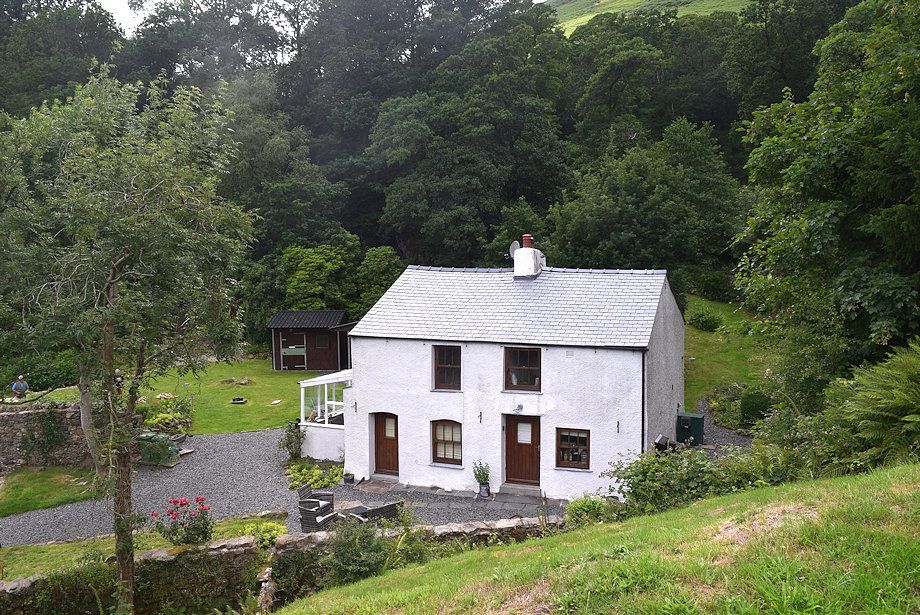 |
| Passing Whicham Mill |
 |
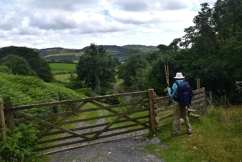
| The track continues alongside Millhaw Wood past Ralliss Farm to join the A595 road directly opposite the car parking area beside Beckside Farm |