 |
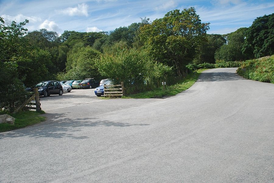
| The National Trust car park on the outskirts of Buttermere is the starting point for this walk |
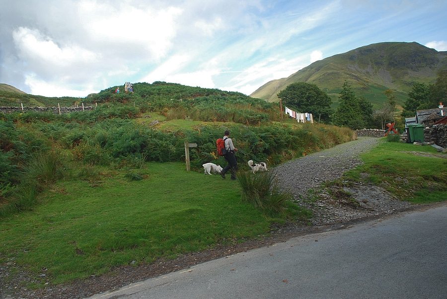 |
| A double-headed footpath sign indicates the start of the path over the brow of High House Crag and the main track to the valley of Sail Beck |
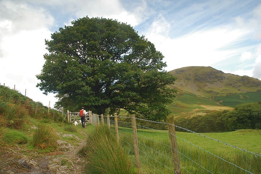 |
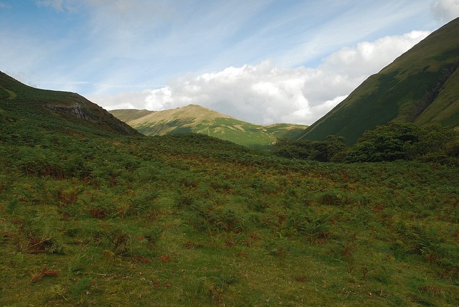
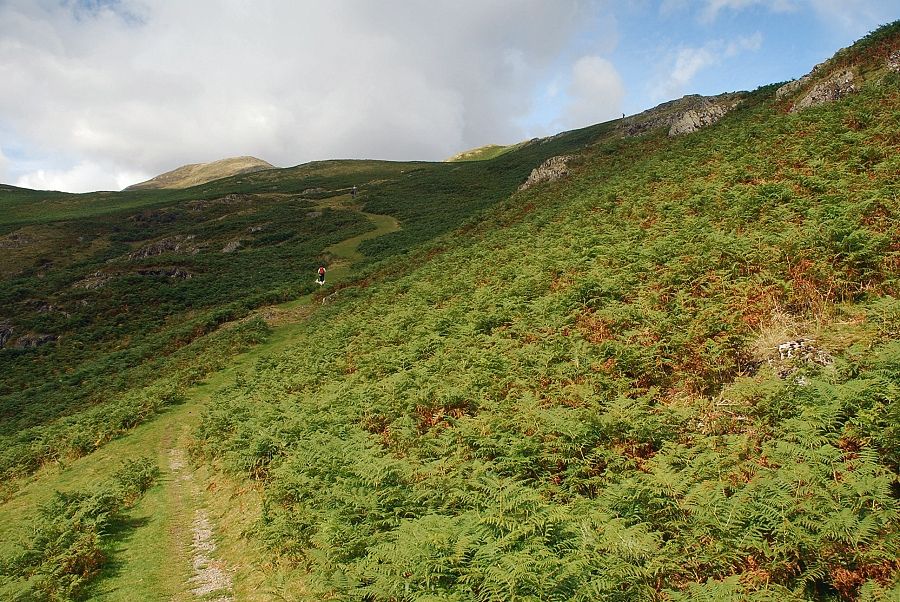
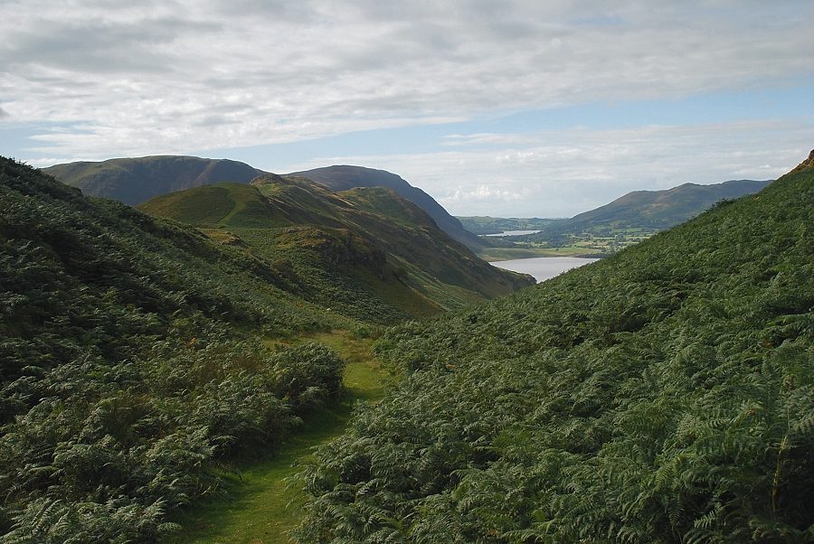
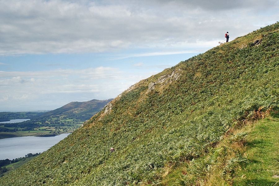
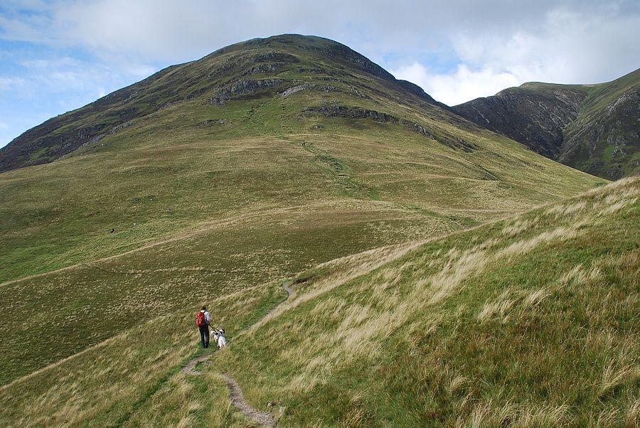
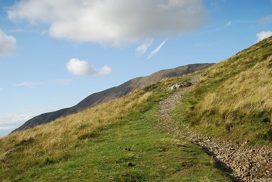
| Shortly after passing behind the cottages of Crag Houses a gate gives access to the open fellside |
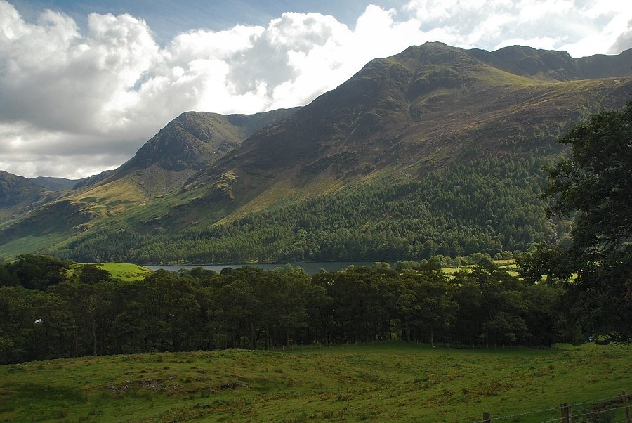 |
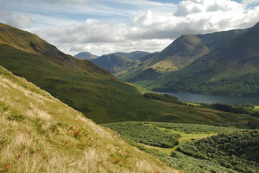
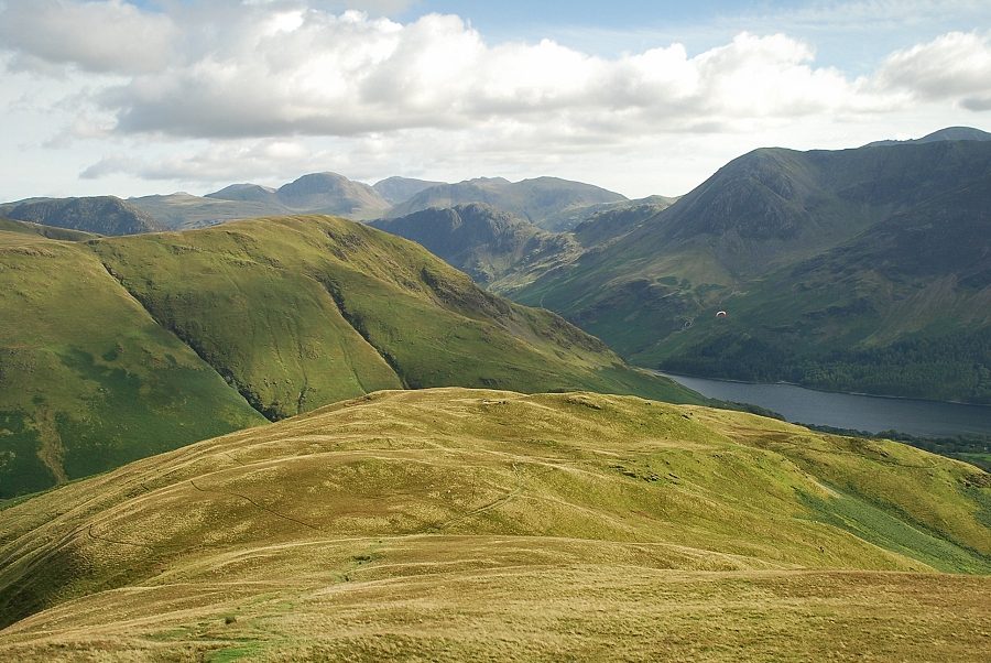
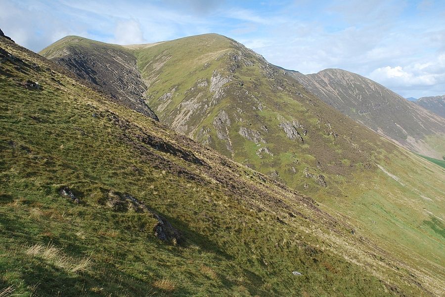
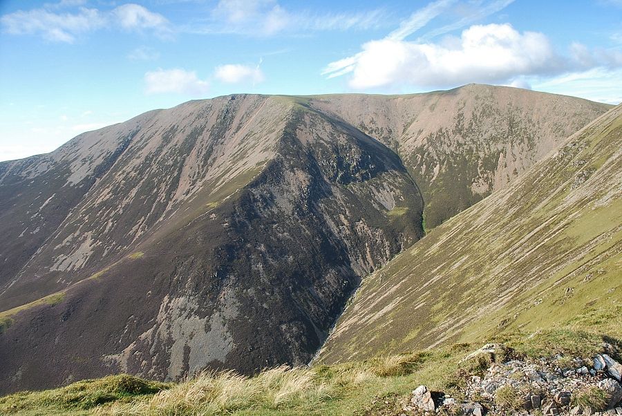
| Looking back to High Crag and High Stile |
 |
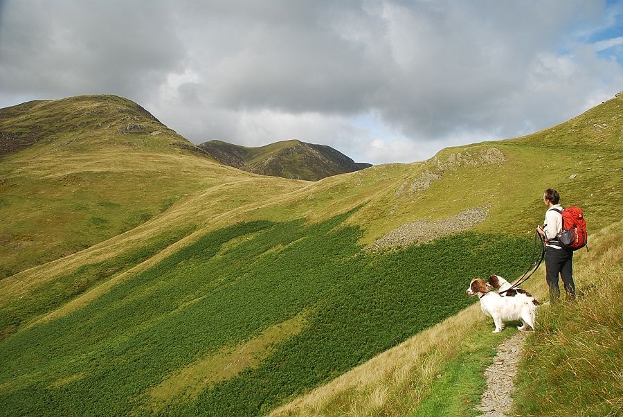
| Sunlight highlights the Knott Rigg ~ Ard Crags ridge above Newlands Hause |
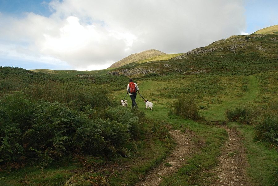 |
| The Sail Beck path is only followed for a quarter of a mile before we turn off it to join the High House Crag path |
 |
| Looking over to Mellbreak from the High House Crag path |
 |
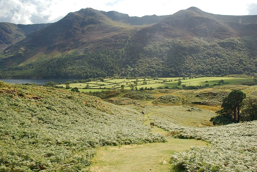
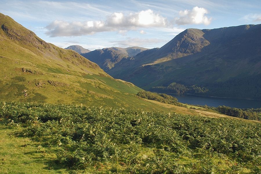
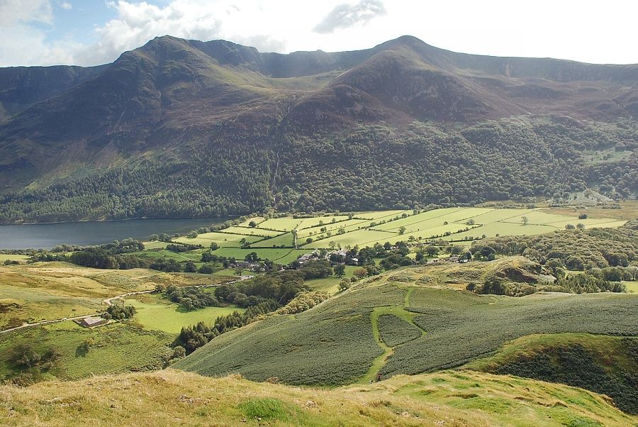
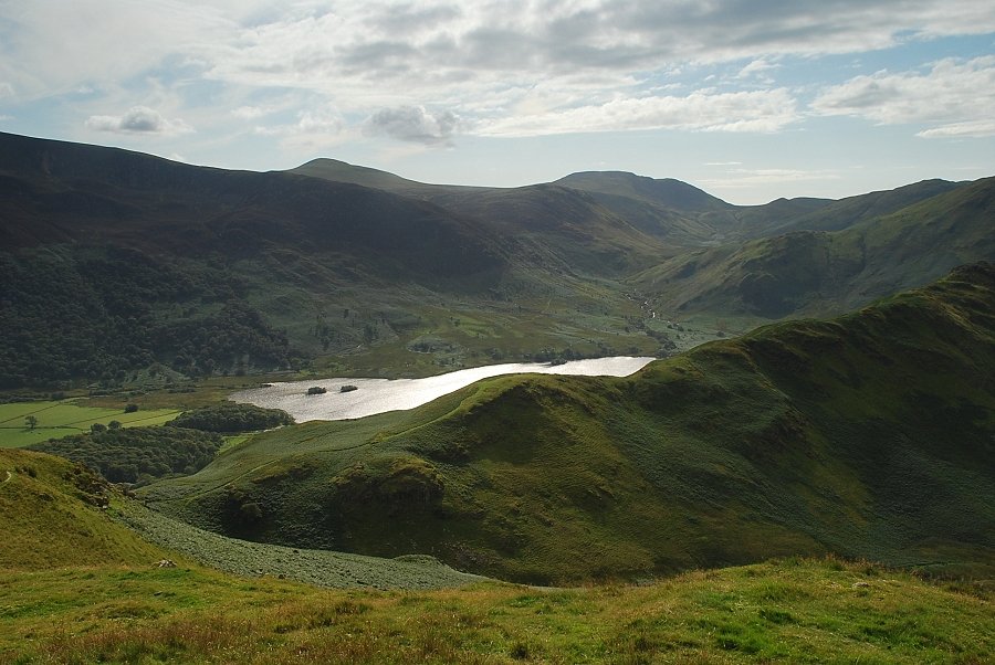
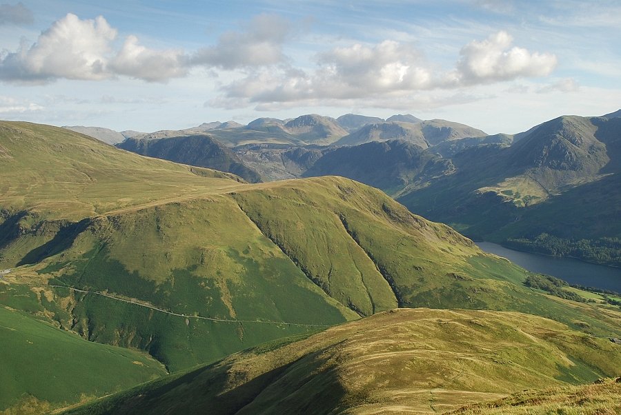
| Looking back to Buttermere, Green Gable and Great Gable appear over the summit ridge of Haystacks on the left |
 |
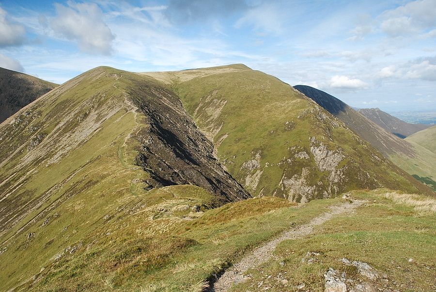
| The summit of Whiteless Pike appears the left above Low bank. The path leads up to a col on Low Bank which overlooks the head of Squat Beck |
 |
| Looking back to High Stile and Red Pike |
 |
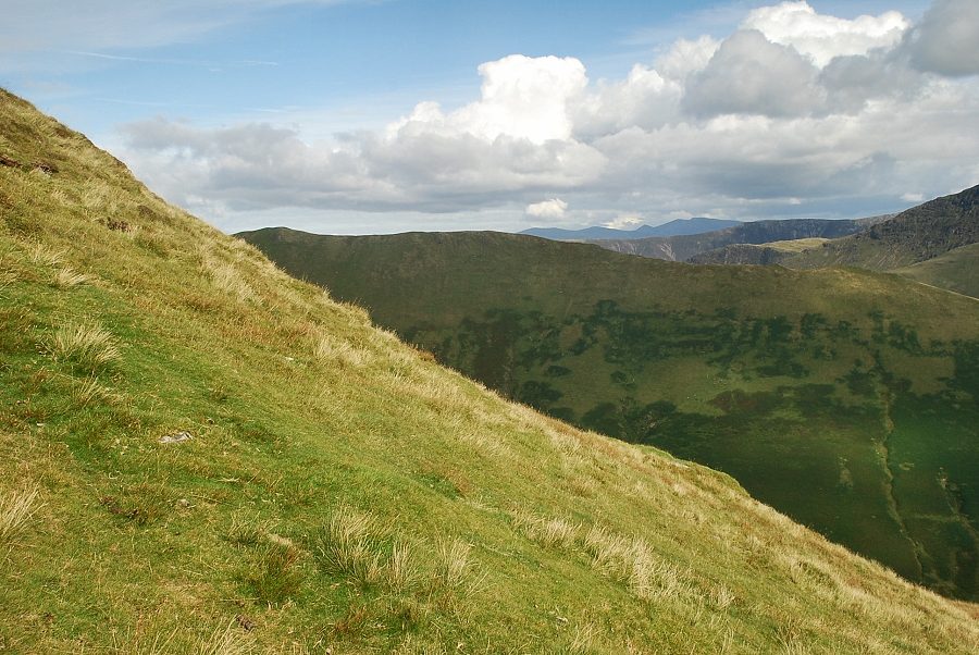
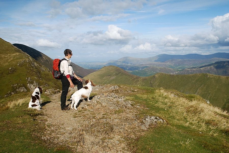
| Looking across to High Snockrigg |
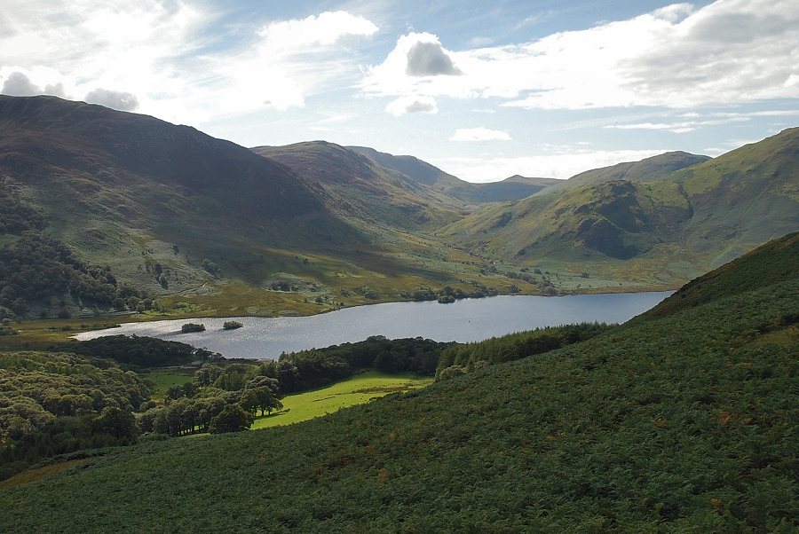 |
| Crummock Water from the slopes of Low Bank |
 |
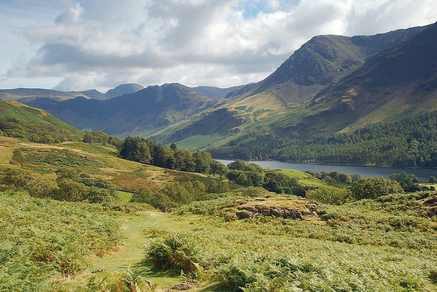
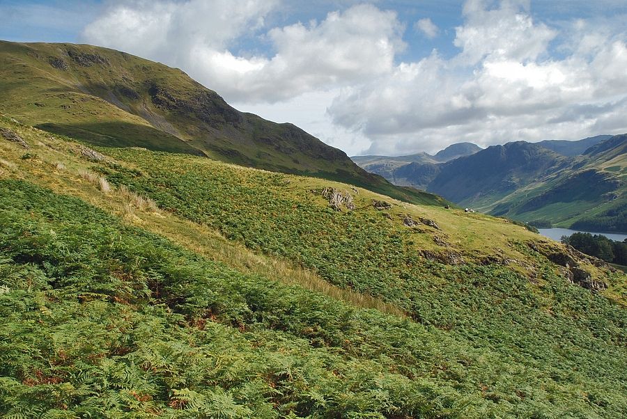
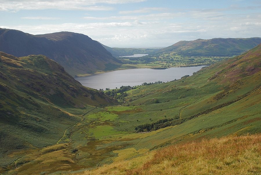
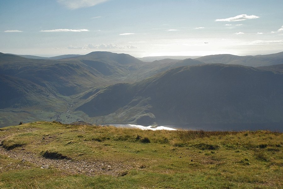
| Crummock Water and Loweswater from the col at the head of Squat Beck |
 |
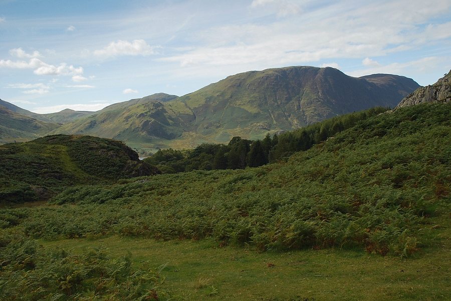
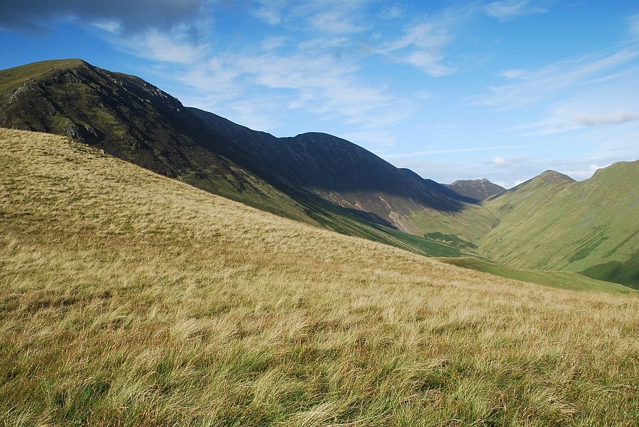
| Looking back to High Crag above Buttermere |
 |
| Robinson across the slopes of High Snockrigg from the col |
 |
| The ascent continues from the col on a steep path which zig-zags up the steep slope of Whiteless Breast |
 |
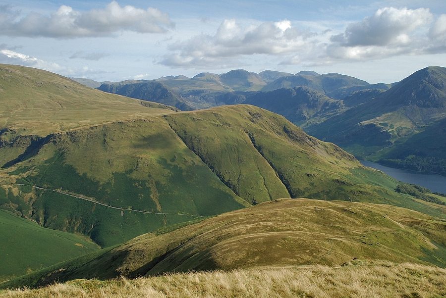
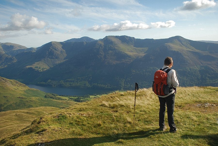
| Looking back from the slopes of Whiteless Breast. Great Gable and Kirk Fell above Haystacks in the centre, with High Crag and the steep north-east ridge of High Stile above Buttermere on the right |
 |
| Looking over to Newlands Hause and Robinson from the slopes of Whiteless Breast |
 |
| Looking back to High Stile and Red Pike from the slopes of Whiteless Breast |
 |
| Crummock Water and Loweswater from the slopes of Whiteless Breast |
 |
| The path makes a rising traverse over to the western side of Whiteless Breast high above Rannerdale |
 |
| Whiteless Pike and Wandope from the path above Rannerdale |
 |
| Looking down to Rannerdale |
 |
| Whiteless Pike, Thirdgill Head Man and Wandope |
 |
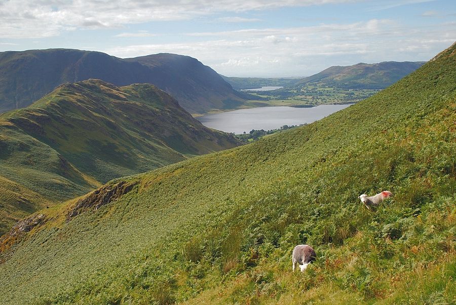
| Looking back over Low Bank to Crummock Water with Starling Dodd and Great Borne on the horizon |
 |
| Approaching the col between Whiteless Breast and Whiteless Pike |
 |
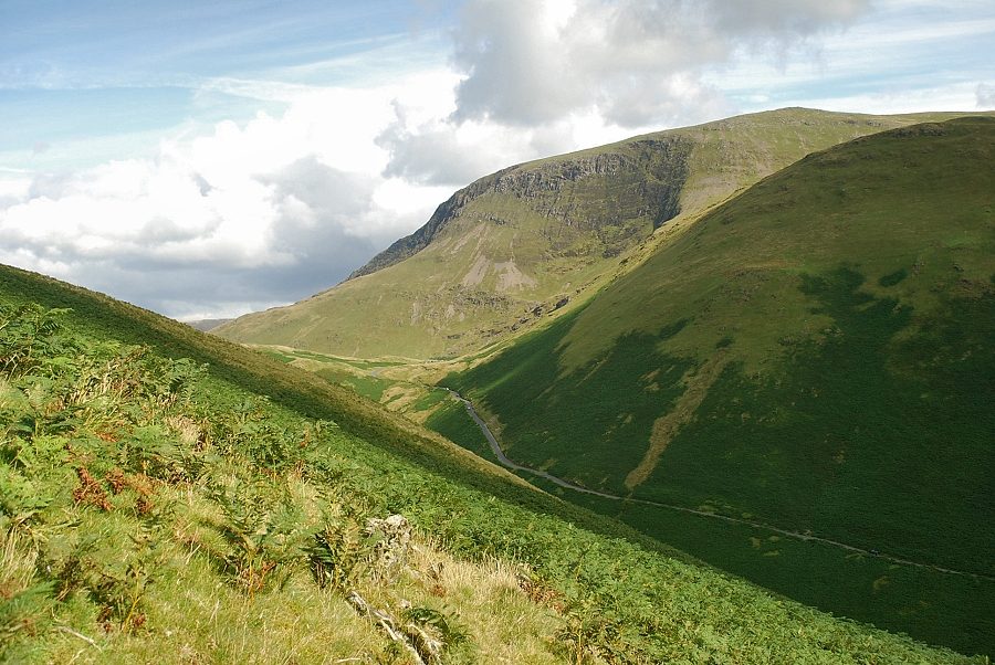
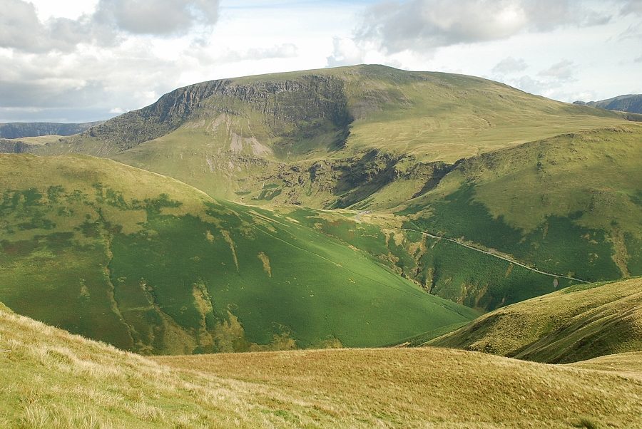
| The valley of Sail Beck from the col |
 |
| Looking over to Newlands Hause and Robinson from the lower slopes of Whiteless Pike |
 |
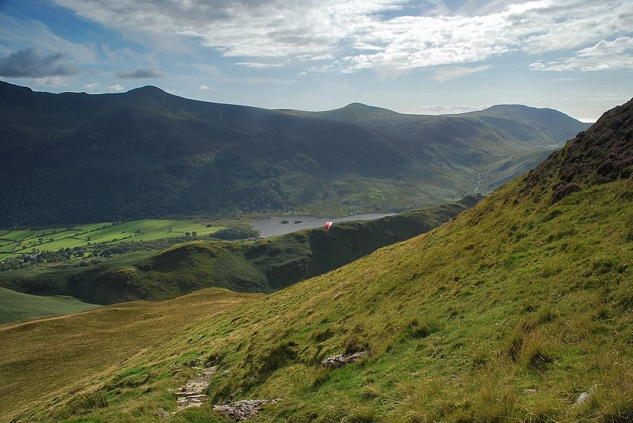
| Looking back to Buttermere from the lower slopes of Whiteless Pike |
 |
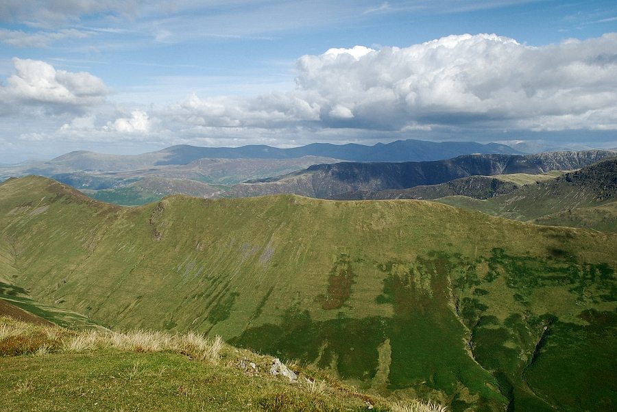
| The Helvellyn range apears in the distance over the Maiden Moor ~ High Spy ridge |
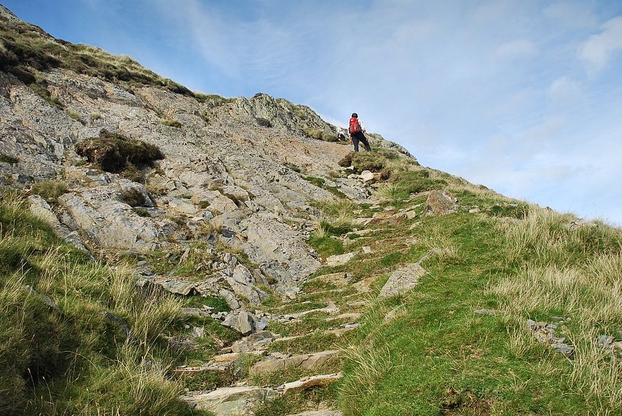 |
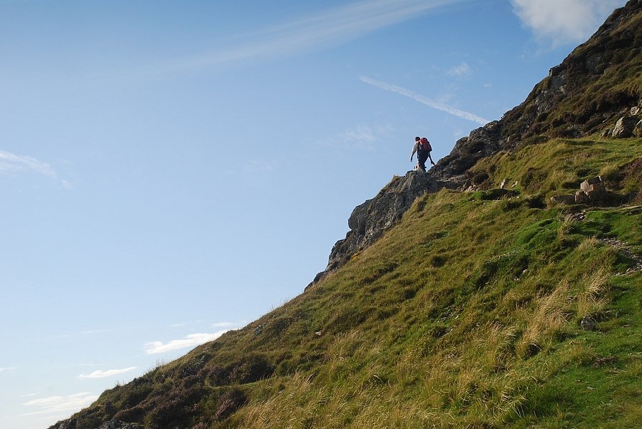
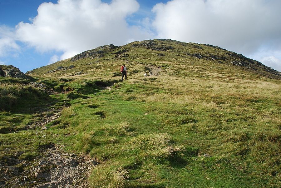
| Halfway up the south ridge the first of a series of rock bands is encountered, this one is easily climbed on a stone-pitched path |
 |
| Looking over to Red Pike, Starling Dodd and Great Borne |
 |
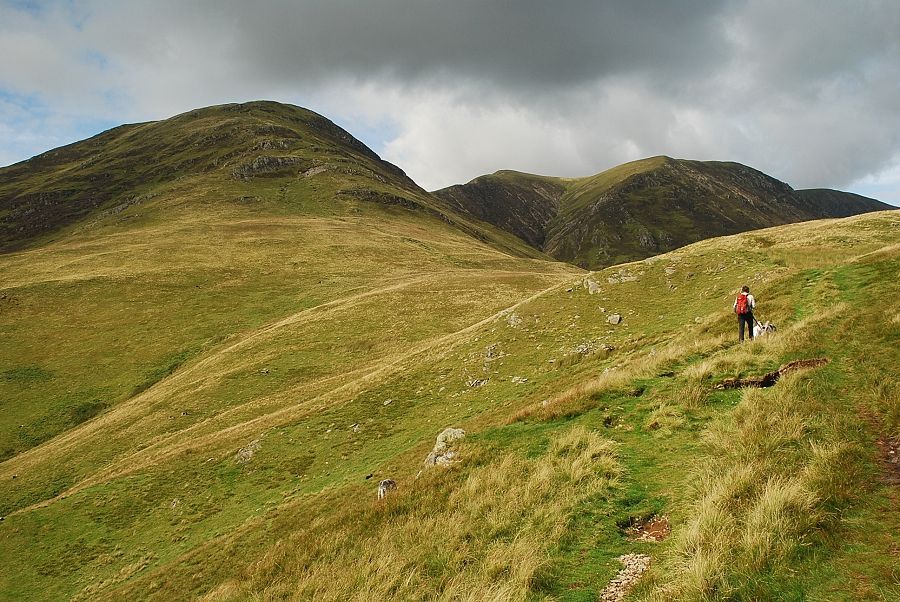
| Looking over to Thirdgill Head Man, Wandope and Sail |
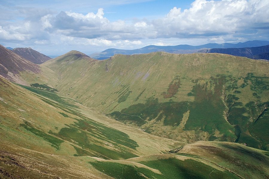 |
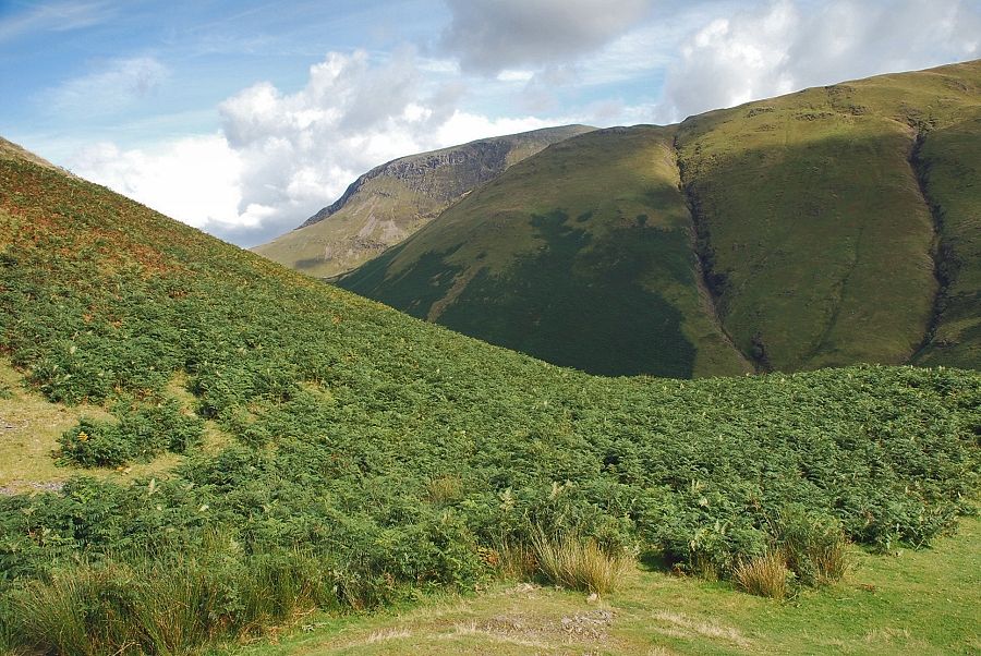
| The valley of Sail Beck |
 |
| Traversing across the upper rock band |
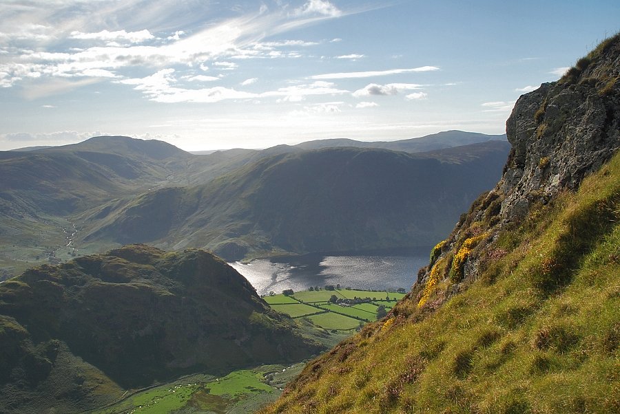 |
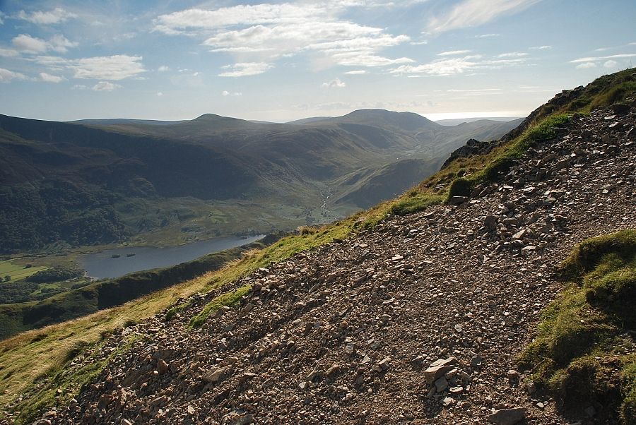
| Crummock Water from the upper rock band |
 |
| The easier upper slopes above the rock bands |
 |
| Looking back to the Scafell range on the horizon |
 |
| Looking back to Buttermere from the upper slopes |
 |
| Starling Dodd and Great Borne |
 |
| Grasmoor comes into view as we near the top of Whiteless Pike |
 |
| The summit of Whiteless Pike |
 |
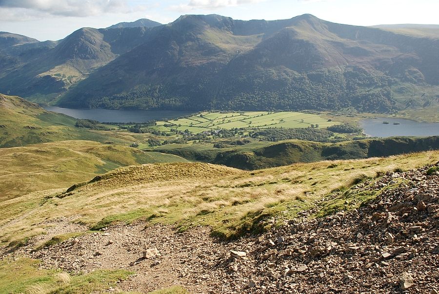
| Great Borne at the head of the Mosedale Valley |
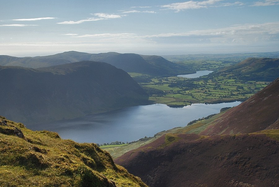 |
| Crummock Water and Loweswater from the summit of Whiteless Pike |
 |
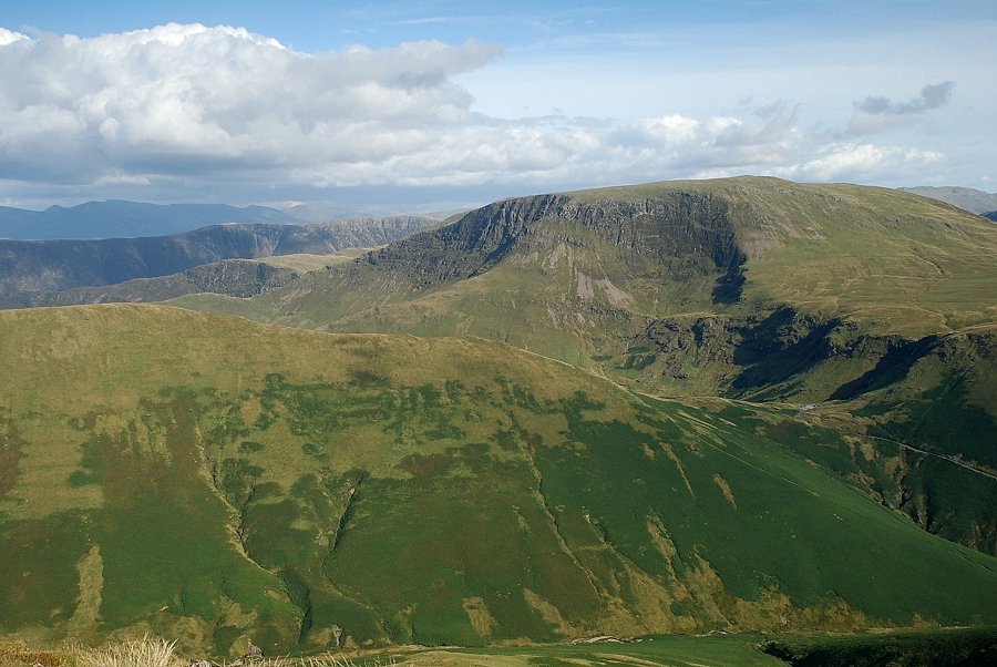
| The Lad Hows ridge leading up to the summit of Grasmoor |
 |
| The connecting ridge to Thirdgill Head Man and Wandope |
 |
| The Helvellyn range from the summit of Whiteless Pike |
 |
| Newlands Hause and Robinson from the summit of Whiteless Pike |
 |
| Looking south to the Scafell range |
 |
| The High Stile ridge from the summit of Whiteless Pike |
