 |
| Lanthwaite Green car park is the starting point for this walk |
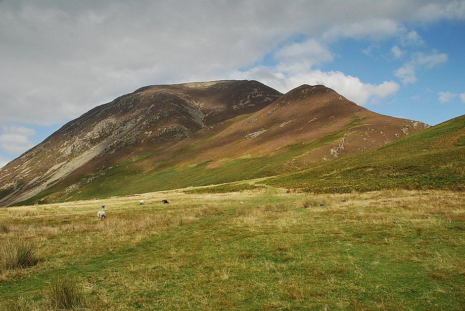 |
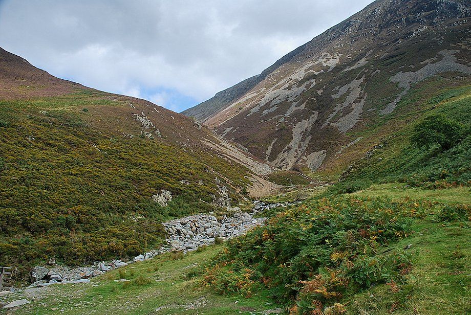
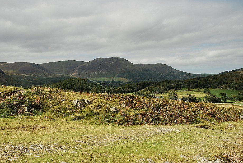
| A green path leads directly from the car park towards Gasgale Gill with Whiteside and Whin Ben dominating the view ahead |
 |
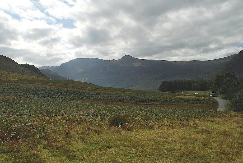
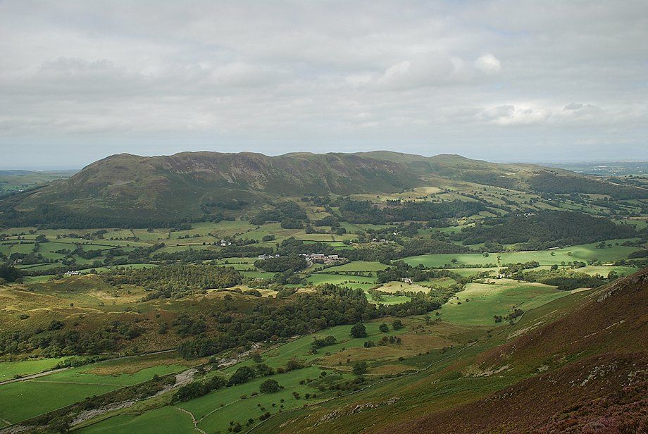
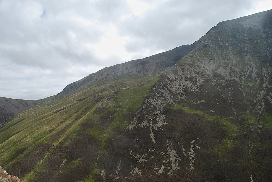
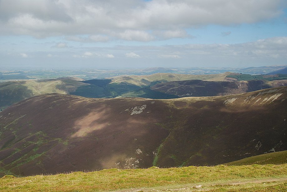
| Looking over towards Grasmoor End |
 |
| High Stile and Red Pike from the path to Gasgale Gill |
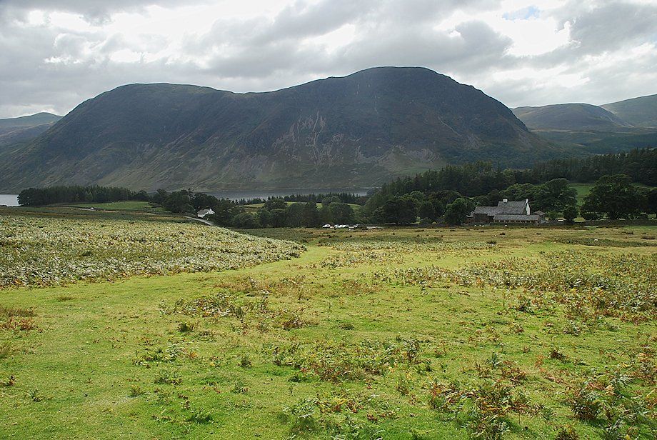 |
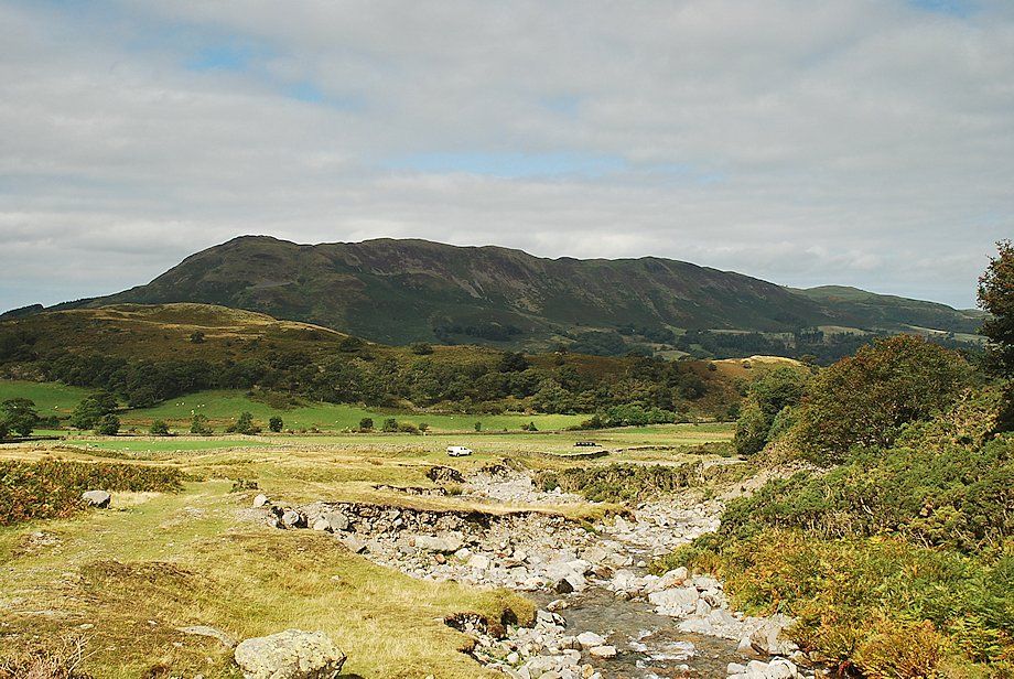
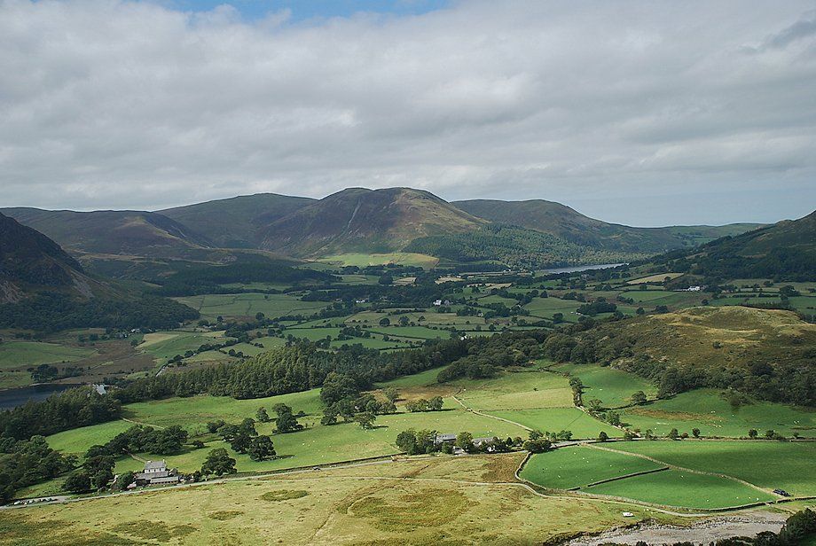
| Looking back to Mellbreak |
 |
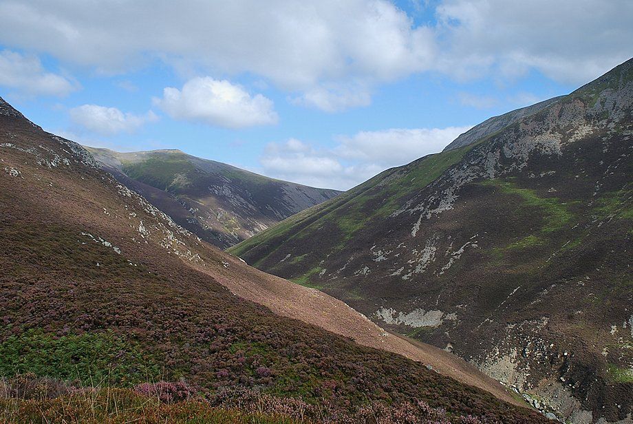
| Gasgale Gill |
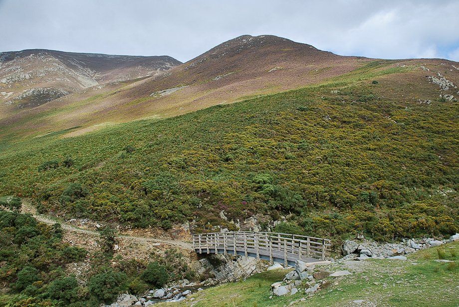 |
| The footbridge over Liza Beck below Whin Ben and Whiteside |
 |
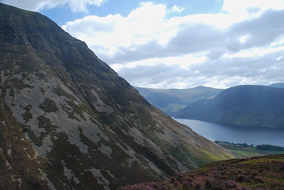
| Grasmoor End from the Liza Beck footbridge |
 |
| Looking over to Low Fell and Fellbarrow from the Liza Beck footbridge |
 |
| Looking back to Blake Fell, Carling Knott and Burnbank Fell from the Liza Beck footbridge |
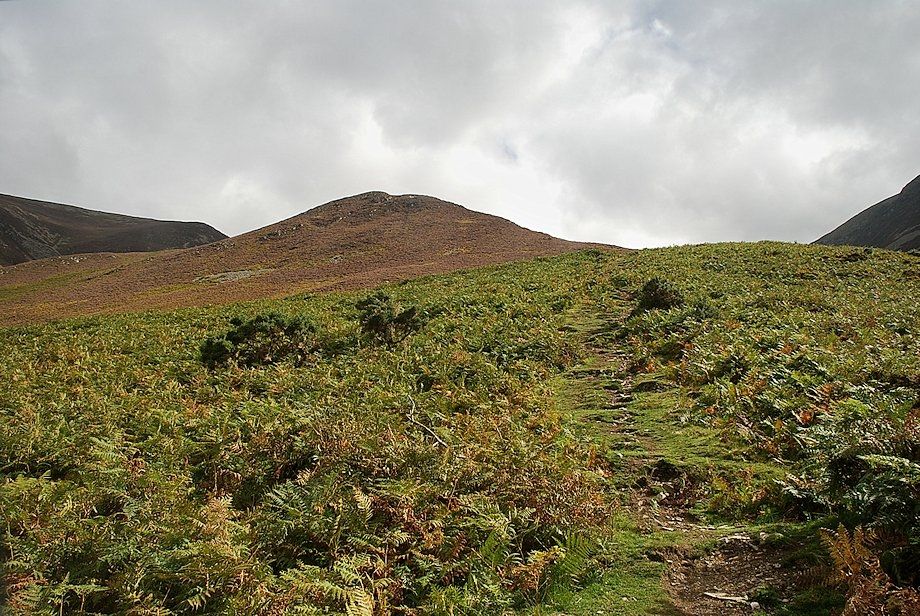 |
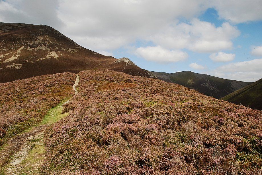
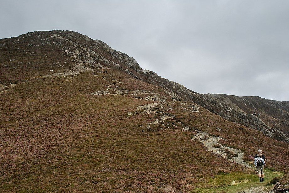
| The start of the climb to Whin Ben, the lower slope mainly consists of grass and bracken, higher up heather predominates |
 |
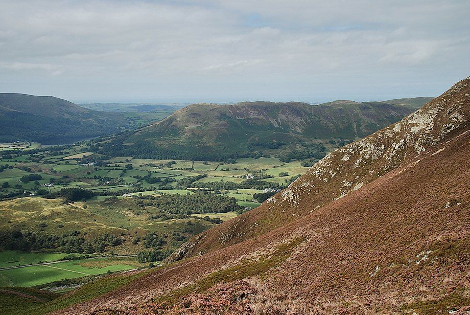
| Looking back to Lanthwaite Green from the lower slopes of Whin Ben |
 |
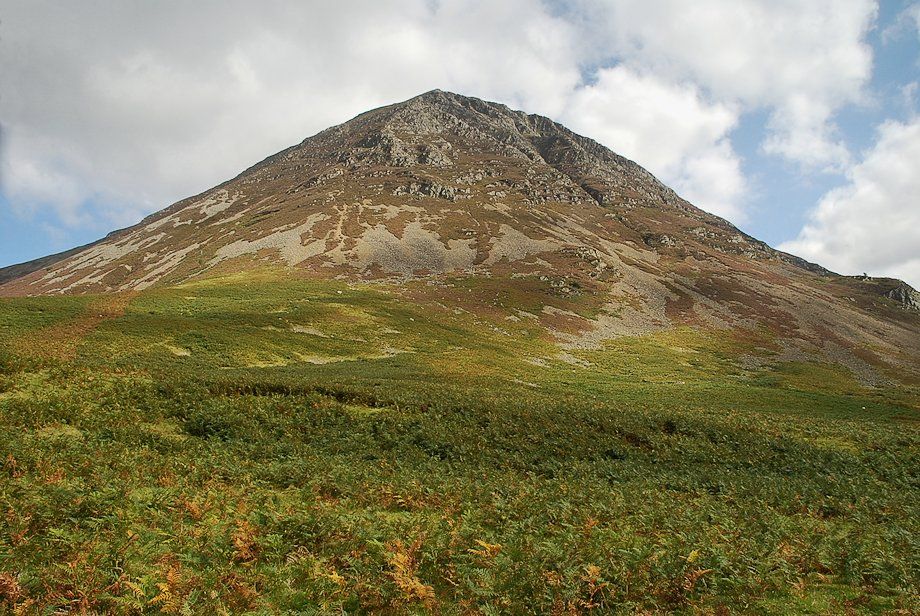
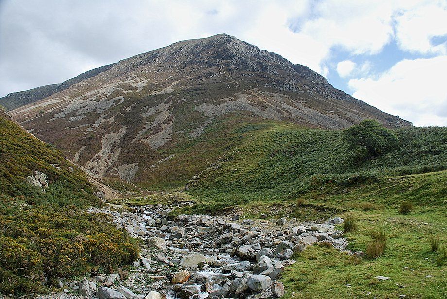
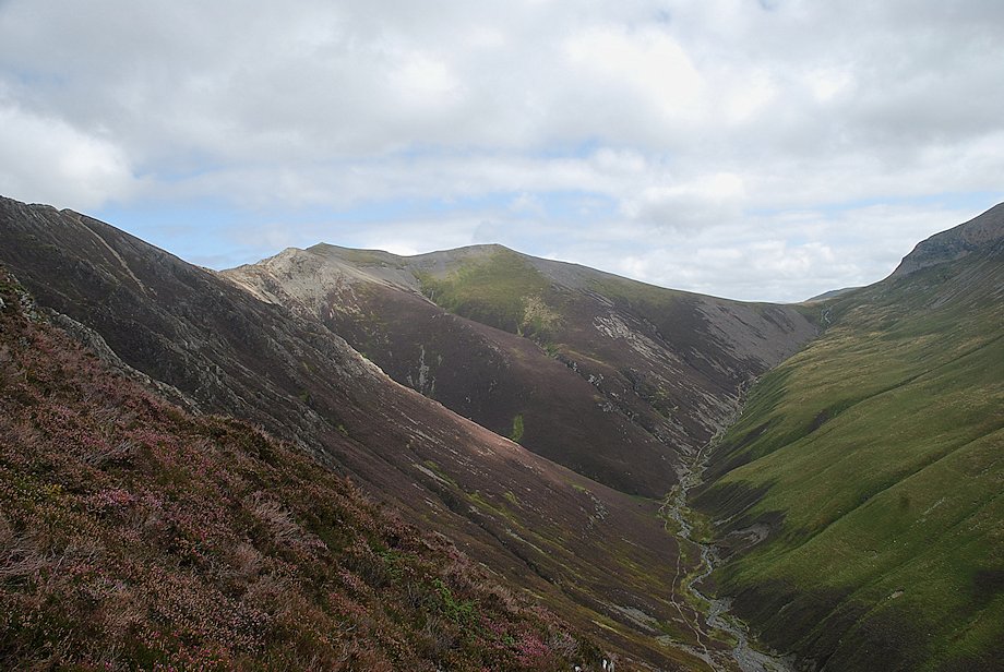
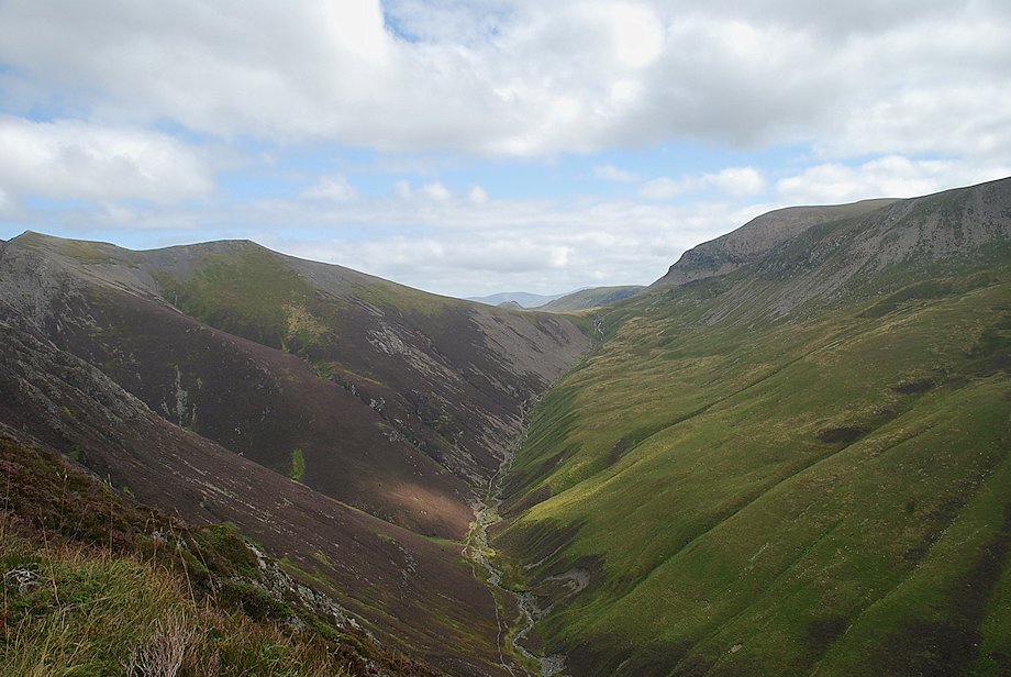
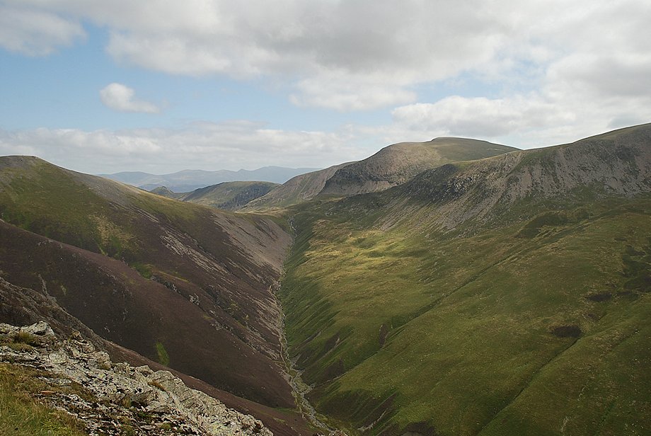
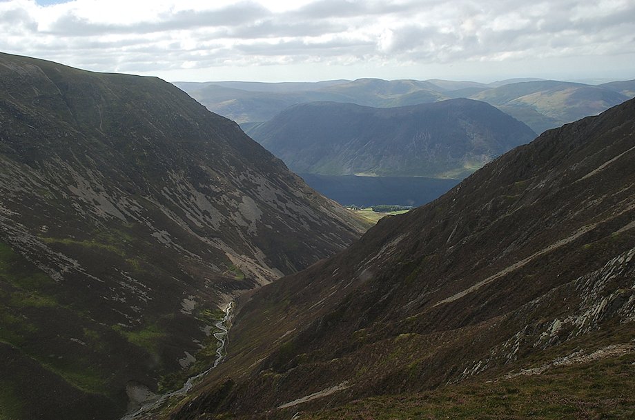
| The middle reaches of Gasgale Gill with Sand Hill at its head |
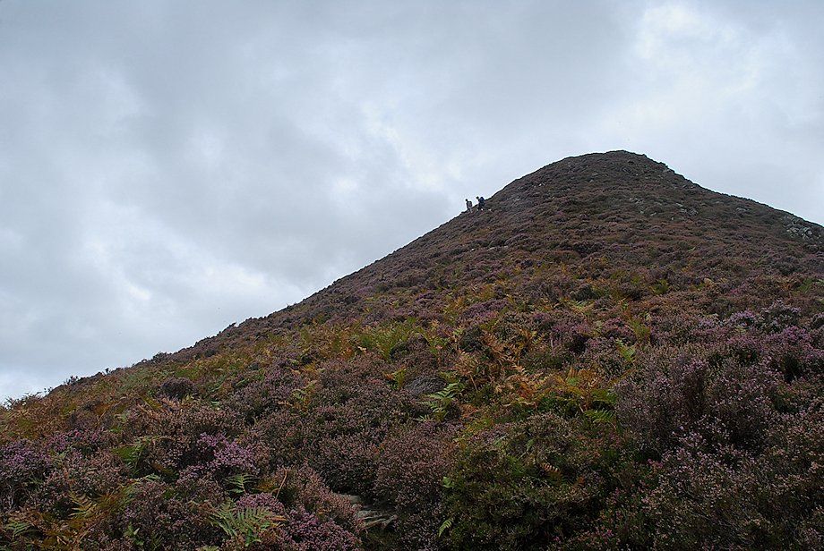 |
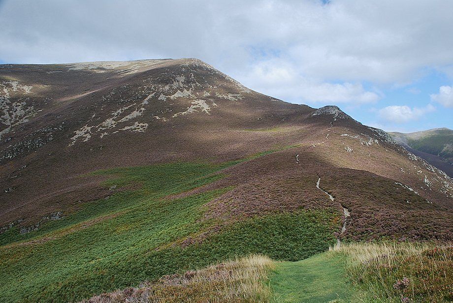
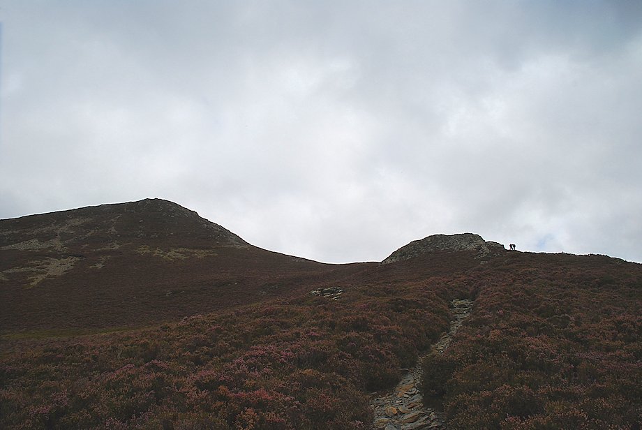
| The steep upper slope of Whin Ben |
 |
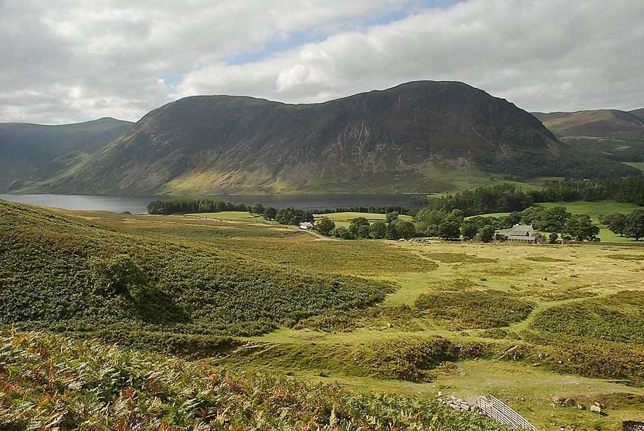
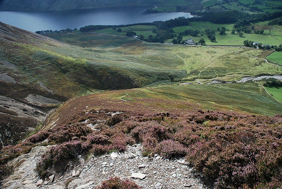
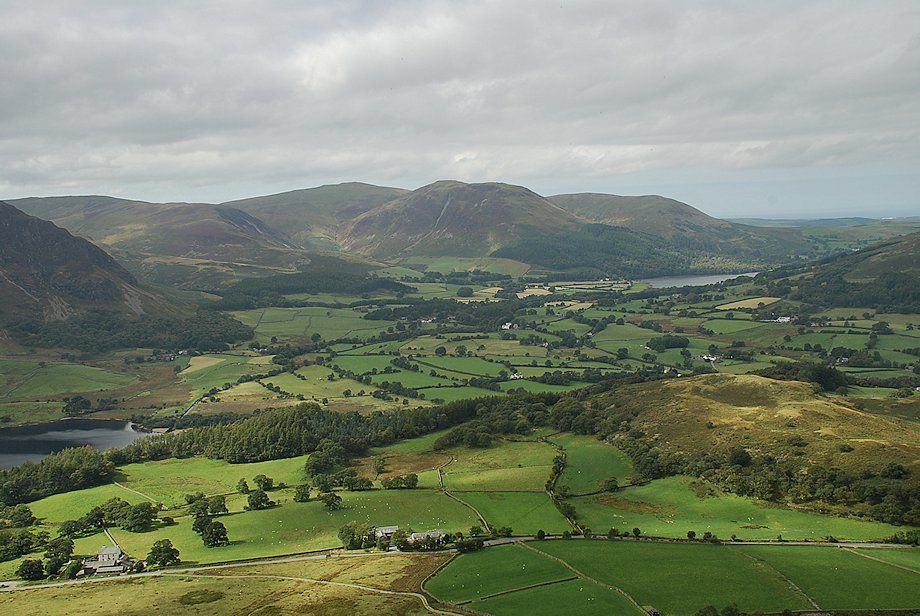
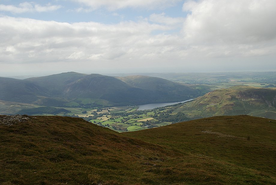
| Loweswater comes into view |
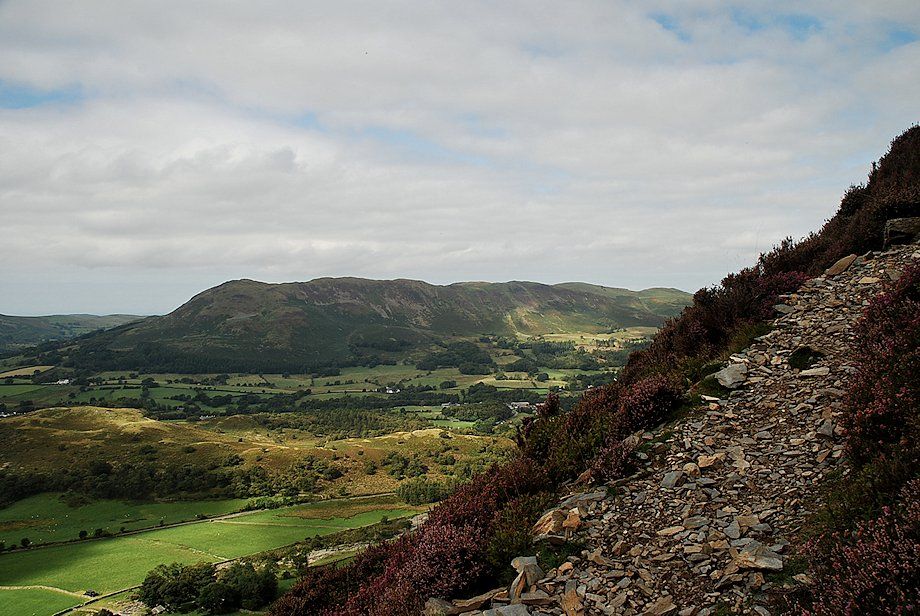 |
| Looking over to Low Fell and Fellbarrow |
 |
| Looking back from just below the top of Whin Ben |
 |
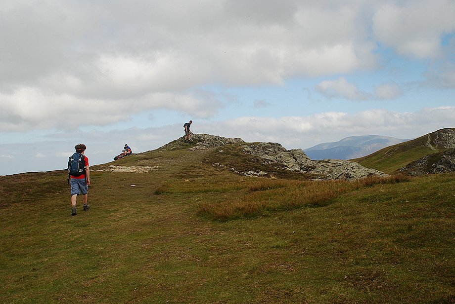
| Approaching the summit of Whin Ben |
 |
| Grasmoor End from the summit of Whin Ben |
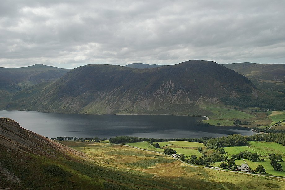 |
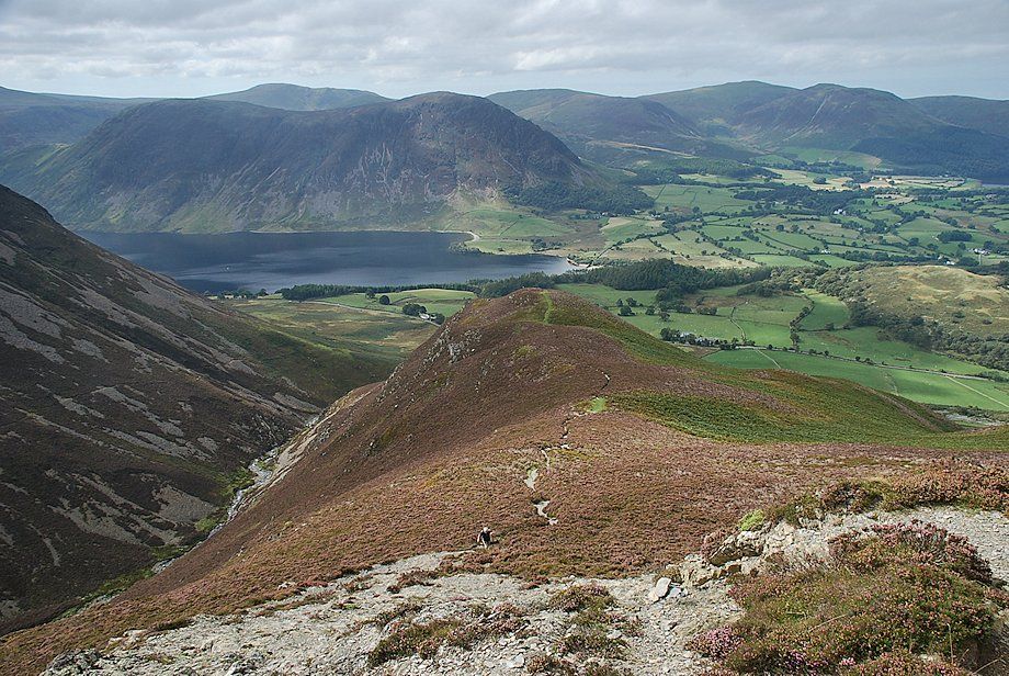
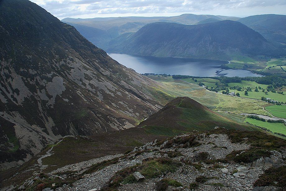
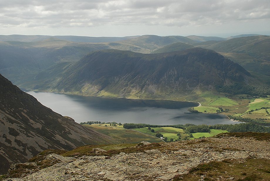
| Crummock Water and Mellbreak from the summit of Whin Ben |
 |
| Gavel Fell, Blake Fell, Carling Knott and Burnbank Fell from the summit of Whin Ben |
 |
| Low Fell and Fellbarrow from the summit of Whin Ben |
 |
| Sand Hill and the northern slopes of Grasmoor above Gasgale Gill from the summit of Whin Ben |
 |
| From the summit of Whin Ben the path climbs to a prominent rock shoulder overlooking Gasgale Gill then continues up the steep south ridge of Whiteside |
 |
| Looking over to Low Fell from the climb to the rock shoulder |
 |
| The approach path to the rock shoulder |
 |
| Sand Hill from the path below the rock shoulder |
 |
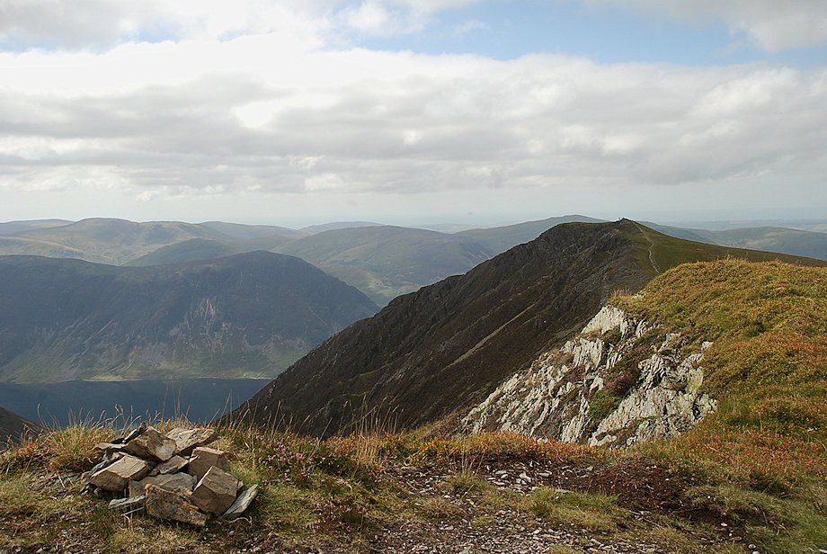
| Looking back to Whin Ben from the top of the rock shoulder |
 |
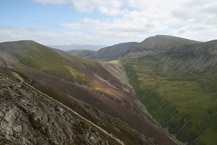
| Gasgale Gill and Coledale Hause from the rock shoulder |
 |
| The north-west arete of Grasmoor across Gasgale Gill |
 |
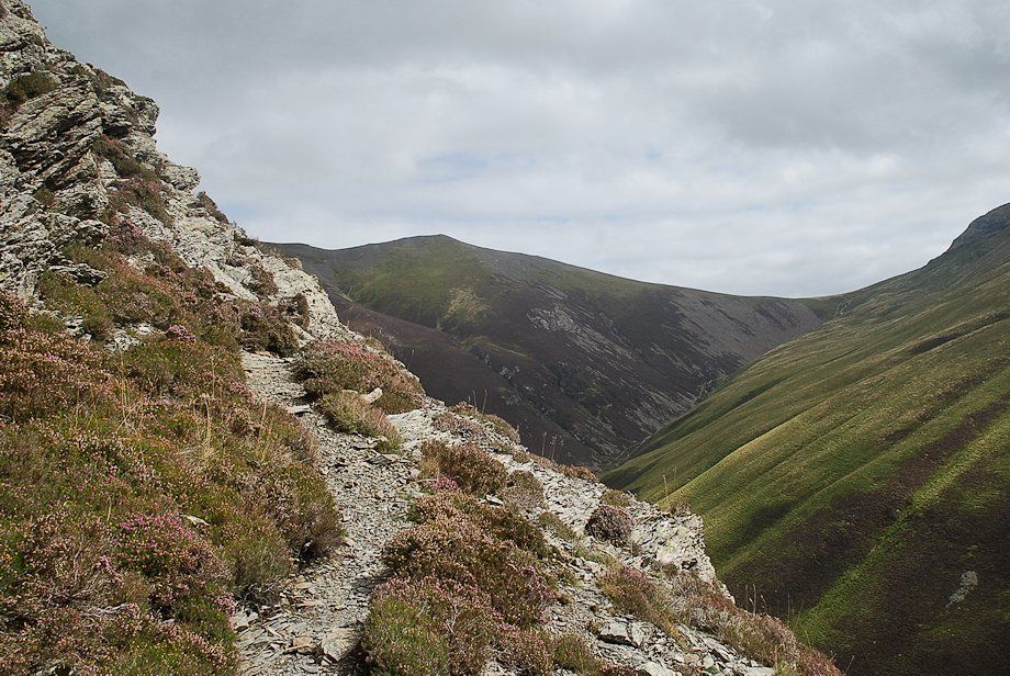
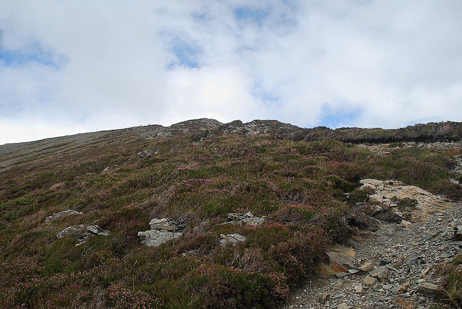
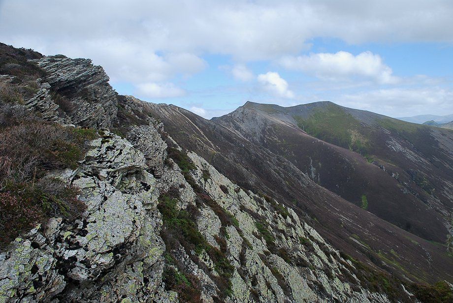
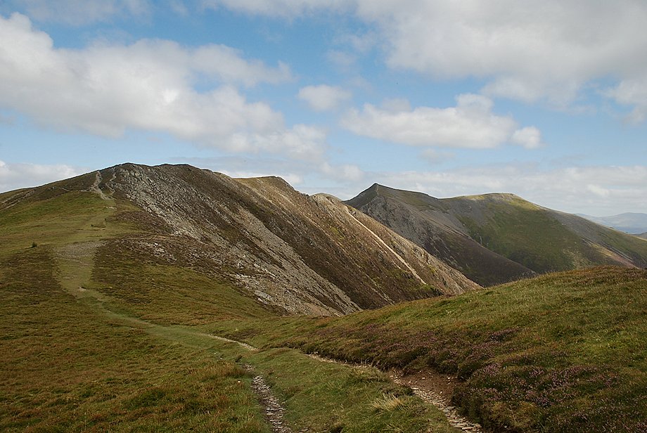
| The path continues up the south ridge of Whiteside |
 |
| Looking back to Whin Ben and Crummock Water from the south ridge |
 |
| Eventually the slope eases as the path approaches the edge of Gasgale Crags |
 |
| Coledale Hause at the head of Gasgale Gill |
 |
| Hopegill Head and Sand Hill across Gasgale Crags |
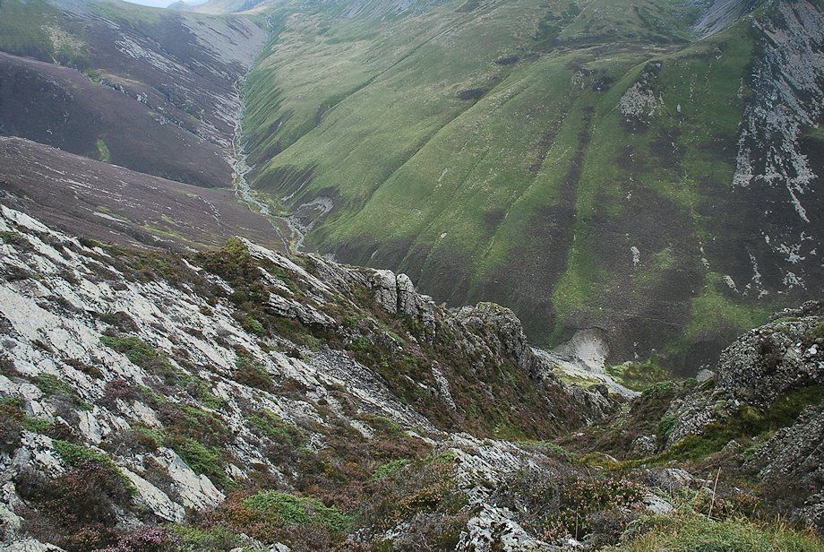 |
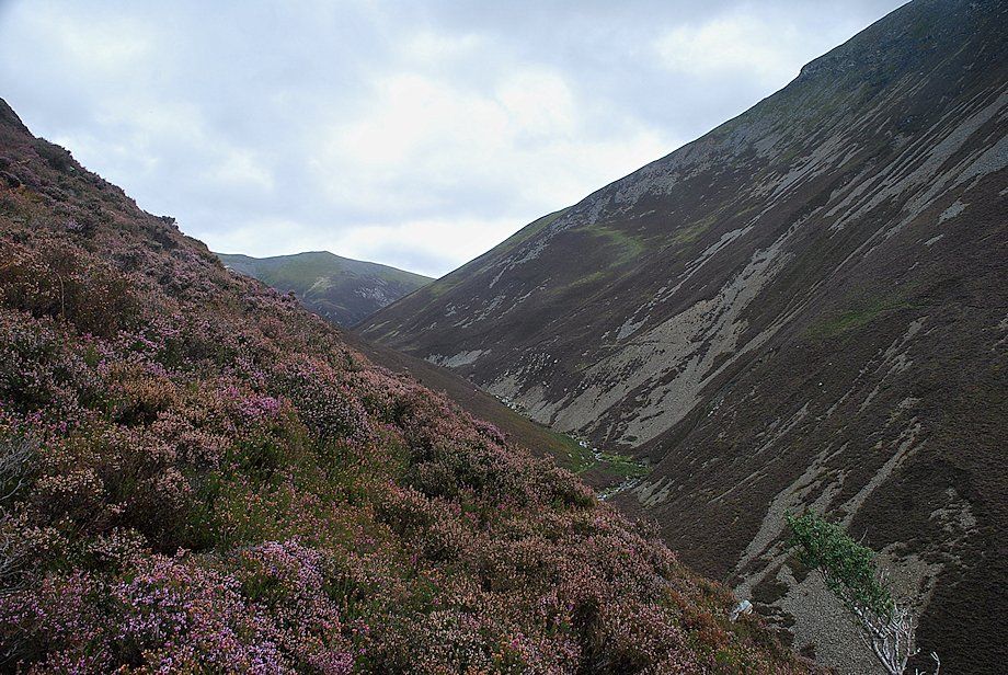
| Looking down Gasgale Crags to Gasgale Gill |
 |
| Approaching the west top of Whiteside |
 |
| The west top has traditionally been regarded as the true summit of Whiteside although it's obviously lower than the east top which lies a quarter of a mile further along the ridge. The modest cairn sits on a rock plinth and Crummock Water cannot be seen from the west top so you have to stop and turn to appreciate this arial view of it before continuing to the cairn |
 |
| Loweswater from the west top of Whiteside |
 |
| Low Fell and Fellbarrow from the west top of Whiteside |
 |
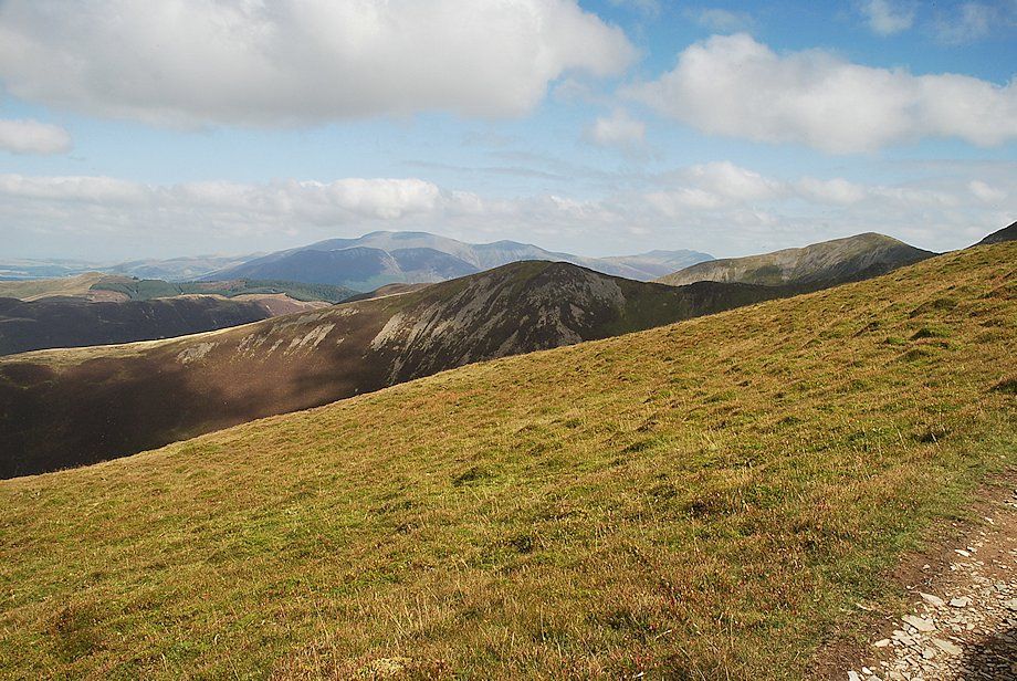
| The Whinlatter fells and Skiddaw from the west top of Whiteside |
 |
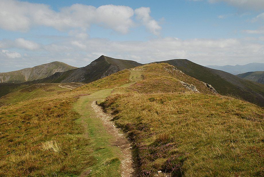
| The connecting ridge to the east top and Hopegill Head |
 |
| The summits of Causey Pike, Scar Crags, and Eel Crag over Coledale Hause |
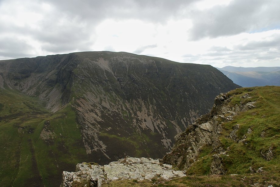 |
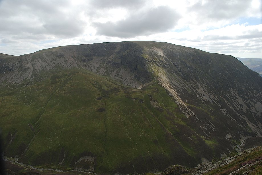
| Grasmoor across Gasgale Gill |
 |
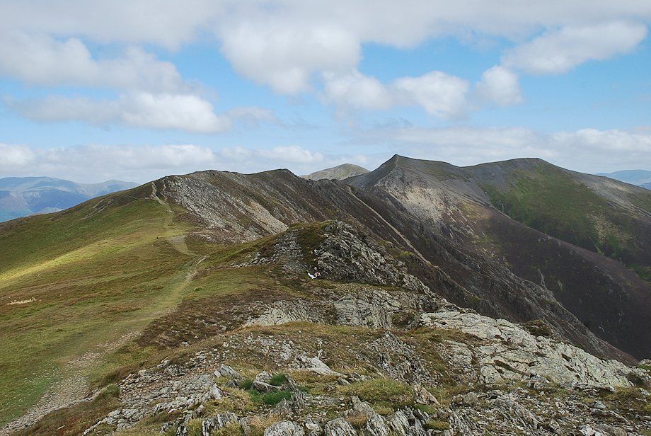
| Continuing along the summit ridge towards the east top |
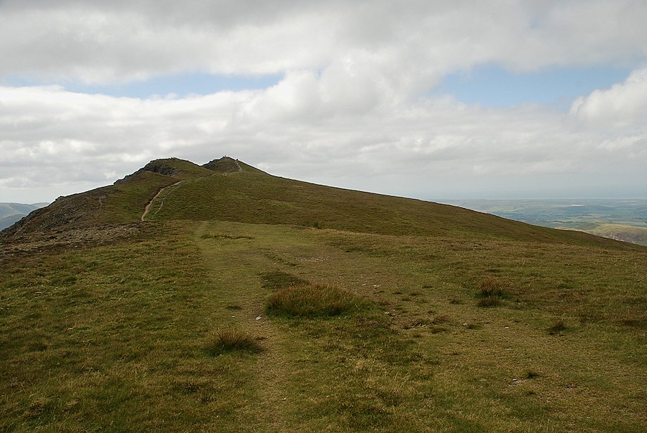 |
| Looking back to the west top |
 |
| Skiddaw over Ladyside Pike with Blencathra across Grisedale Pike on the right |
 |
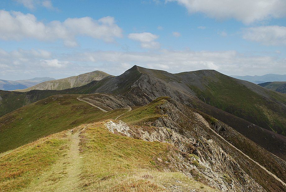
| Approaching the east top, the highest point on the Whiteside ridge |
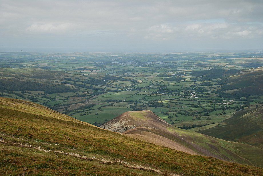 |
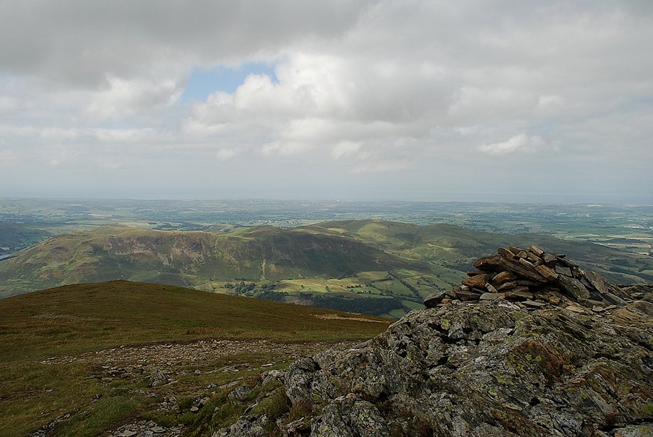
| The Vale of Lorton from the east top |
 |
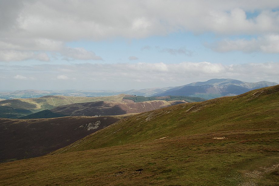
| The Whinlatter Fells over the Swinside ridge |
 |
| Grisedale Pike, Hopegill Head and Sand Hill from the east top |
 |
| Scar Crags, Sail and Eel Crag over Coledale Hause |
 |
| Grasmoor across Gasgale Gill |
 |
| Crummock Water from the east top of Whiteside |
 |
| Looking back to the west top |
